West Wood
Wood, Forest in Yorkshire
England
West Wood
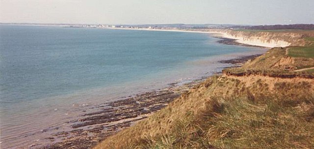
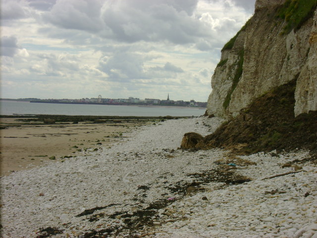
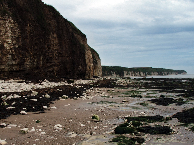
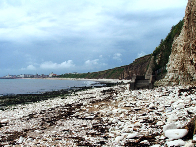
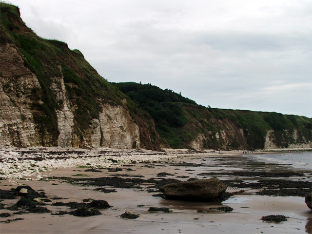
West Wood is a picturesque forest located in Yorkshire, England. Covering an area of approximately 100 hectares, it is known for its stunning natural beauty and abundant wildlife. The wood is situated on the outskirts of the charming village of West Yorkshire, providing a peaceful and serene escape from the hustle and bustle of city life.
The forest is primarily composed of deciduous trees, including oak, beech, and birch, which create a vibrant and colorful landscape throughout the seasons. The dense canopy provides shade and shelter for a diverse range of flora and fauna, making it an ideal habitat for various species.
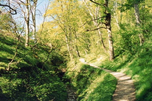
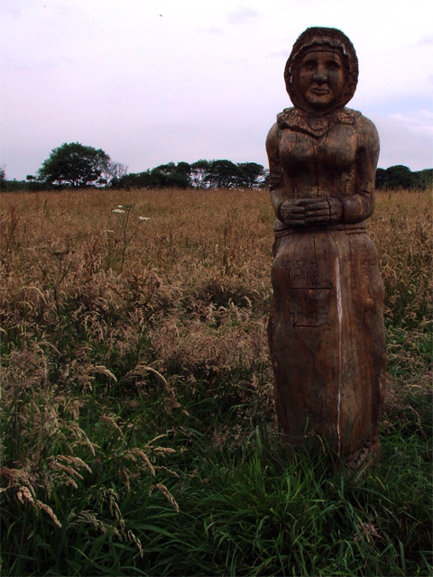
Walking trails and footpaths wind their way through the wood, allowing visitors to explore its enchanting surroundings. The tranquility of the woodland is often interrupted by the cheerful chirping of birds, including woodpeckers, thrushes, and warblers, which are commonly spotted in the area.
West Wood is also home to a variety of mammals, such as deer, foxes, and squirrels, which can often be seen darting through the undergrowth. The forest is a popular spot for nature enthusiasts, birdwatchers, and photographers, who can capture the beauty of the woodland in its entirety.
In addition to its natural attractions, West Wood offers recreational facilities, including picnic areas and camping spots, making it an ideal destination for outdoor activities and family outings. Whether it's a leisurely stroll through the woods or a day spent exploring the wildlife, West Wood provides a tranquil and captivating experience for nature lovers of all ages.
If you have any feedback on the listing, please let us know in the comments section below.
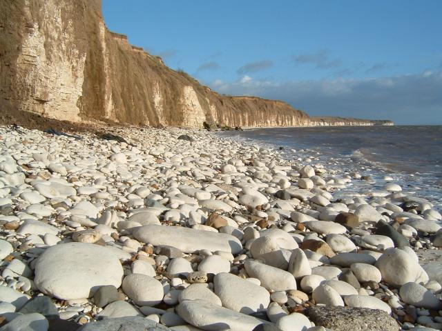
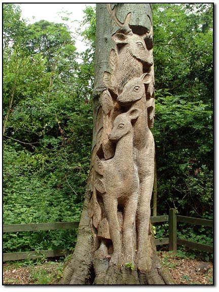
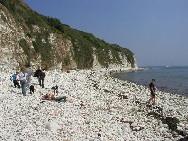
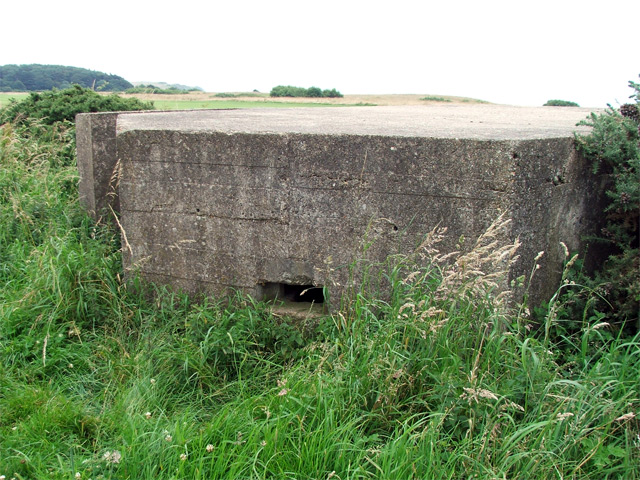
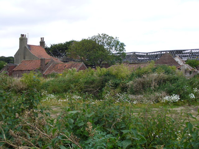
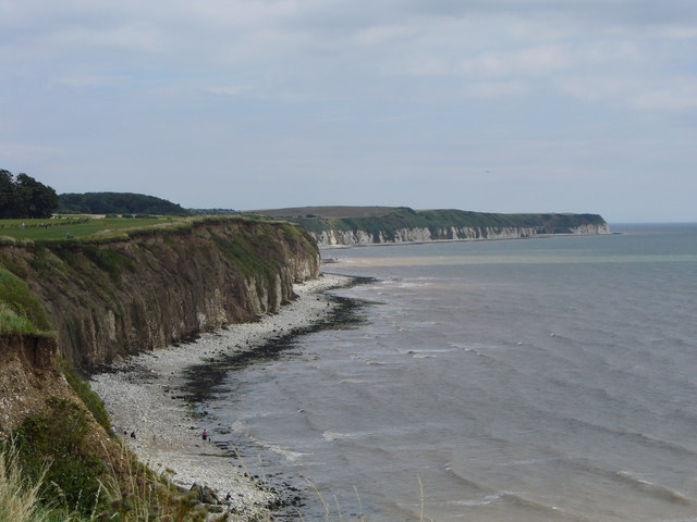
West Wood Images
Images are sourced within 2km of 54.109933/-0.16458898 or Grid Reference TA2069. Thanks to Geograph Open Source API. All images are credited.


West Wood is located at Grid Ref: TA2069 (Lat: 54.109933, Lng: -0.16458898)
Division: East Riding
Unitary Authority: East Riding of Yorkshire
Police Authority: Humberside
What 3 Words
///sensitive.seatbelt.informed. Near Bempton, East Yorkshire
Nearby Locations
Related Wikis

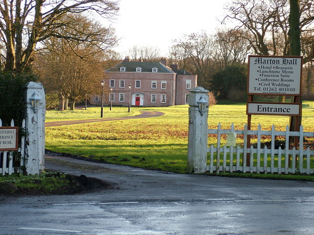
Flamborough railway station
Flamborough railway station was located in the village of Marton, and was originally named after that location. However, there were several other railway...

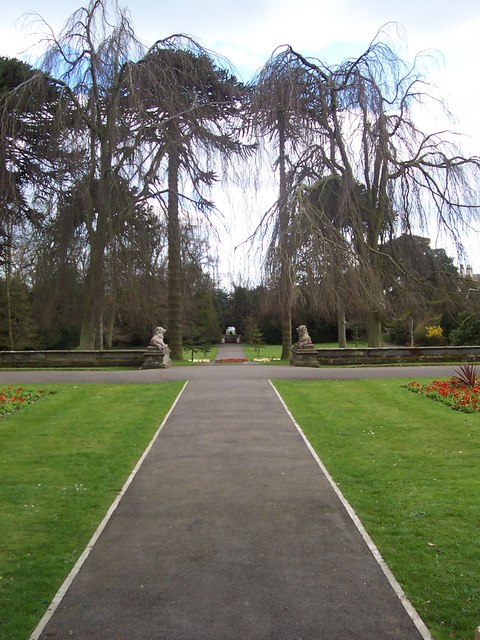
Sewerby Hall
Sewerby Hall (also known as Sewerby House) is a Grade I listed Georgian country house set in 50 acres (20 ha) of landscaped gardens in the village of Sewerby...

Sewerby
Sewerby is a village in the East Riding of Yorkshire, England approximately 1 mile (1.6 km) north-east of Bridlington on the North Sea coast. The village...

Headlands School
Headlands School is a coeducational comprehensive school situated on Sewerby Road near the B1255, Bridlington, East Riding of Yorkshire, England. The school...
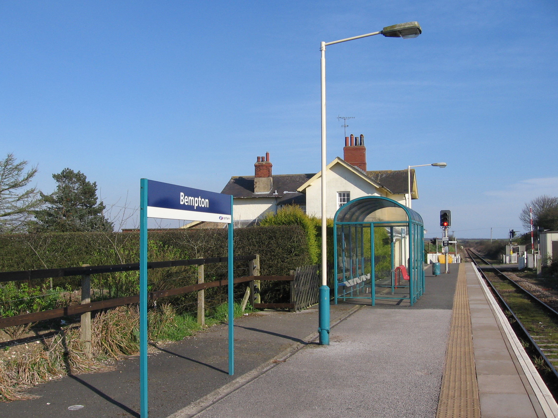
Bempton railway station
Bempton railway station serves the village of Bempton in the East Riding of Yorkshire, England. It is located on the Yorkshire Coast Line and is operated...

Bempton
Bempton is a village and civil parish in the East Riding of Yorkshire, England, near the border with North Yorkshire. It is near the North Sea coast and...

Flamborough
Flamborough is a village and civil parish in the East Riding of Yorkshire, England. It is situated approximately 4 miles (6 km) north-east of Bridlington...
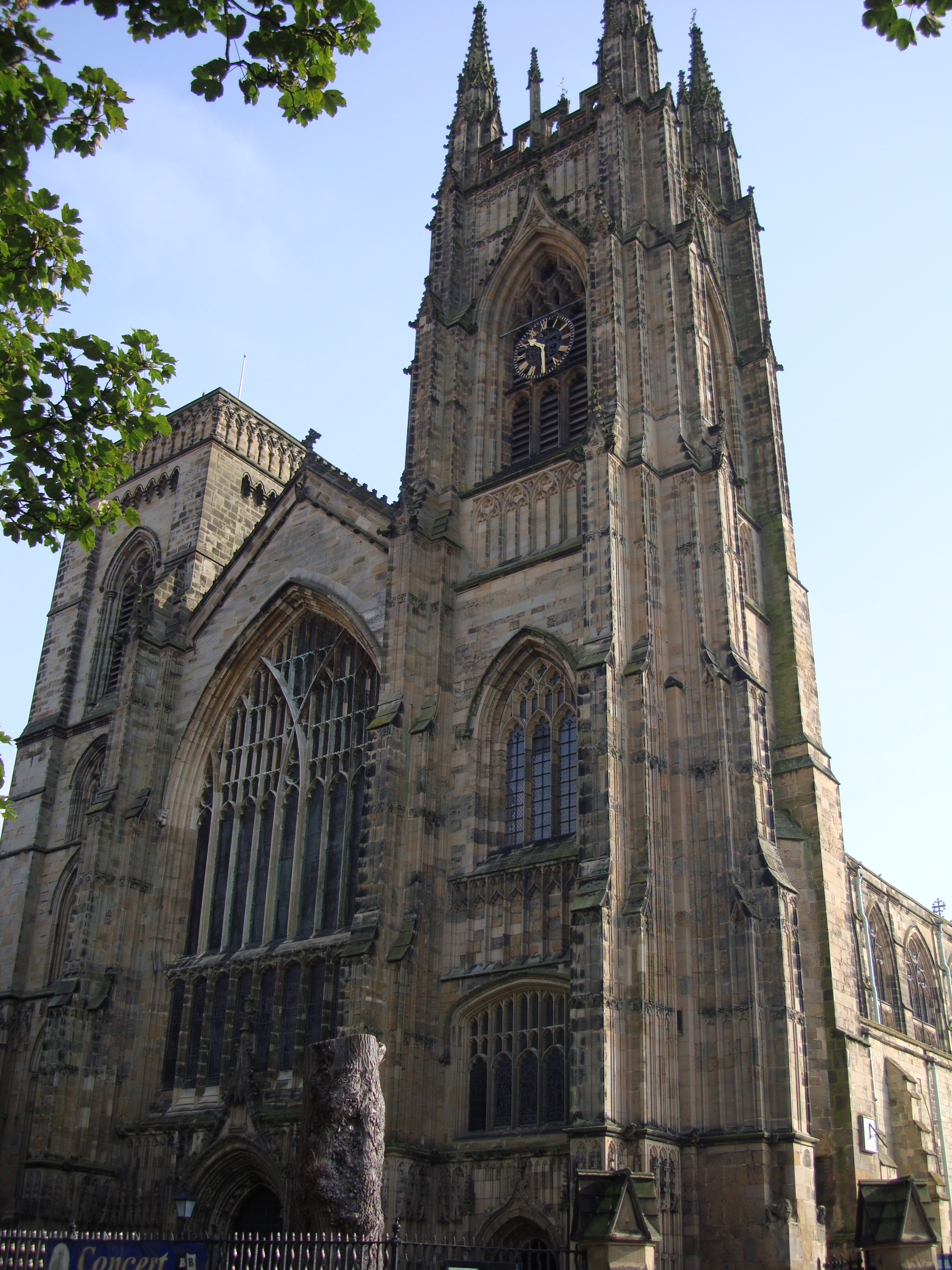
Bridlington Priory
Priory Church of St Mary, Bridlington, grid reference TA177680, commonly known as Bridlington Priory Church is a parish church in Bridlington, East Riding...
Nearby Amenities
Located within 500m of 54.109933,-0.16458898Have you been to West Wood?
Leave your review of West Wood below (or comments, questions and feedback).