Teck Plantation
Wood, Forest in Surrey
England
Teck Plantation
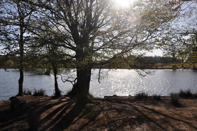
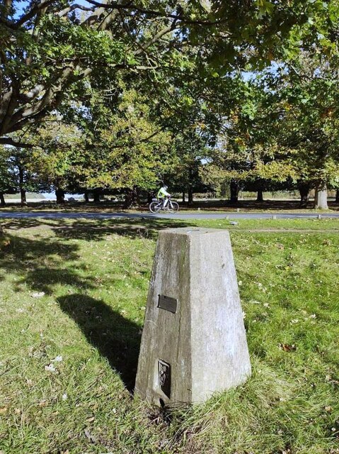
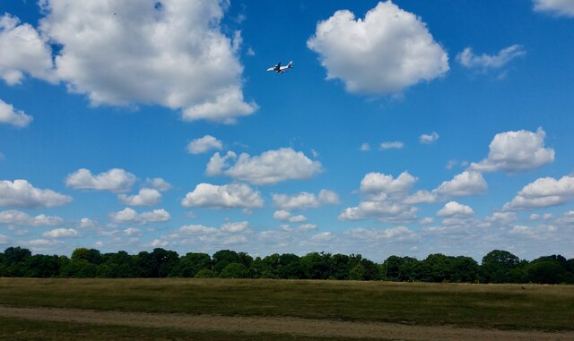
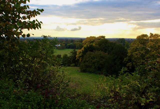
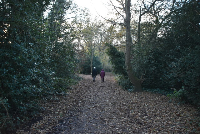
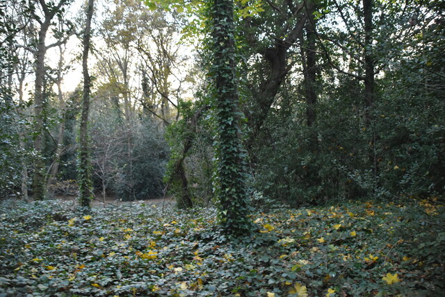
Teck Plantation, located in Surrey, England, is a picturesque woodland area that spans over a vast expanse of land. This enchanting forest is renowned for its natural beauty and is a haven for nature enthusiasts and outdoor enthusiasts alike.
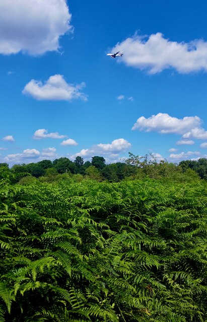
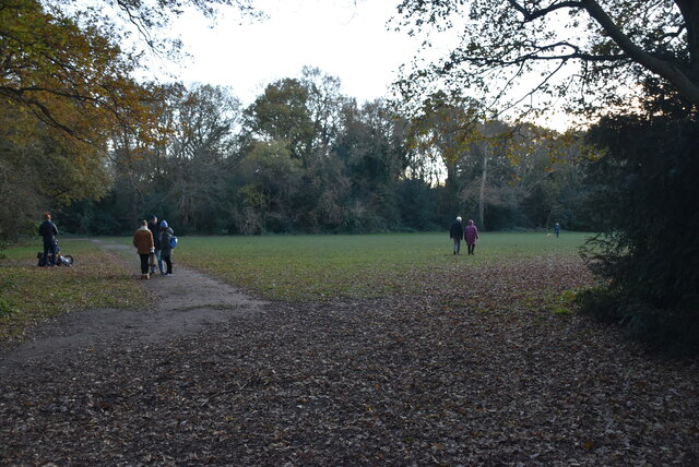
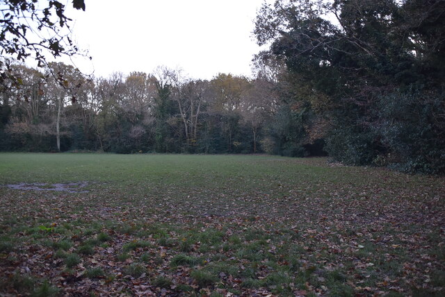
Covering an area of approximately 200 acres, Teck Plantation boasts a rich variety of flora and fauna, making it a thriving ecosystem. The woodland is predominantly composed of deciduous trees, such as oak, birch, and beech, which provide a stunning backdrop throughout the year. Additionally, there are several small ponds scattered across the plantation, adding to its charm and attracting a diverse range of wildlife.
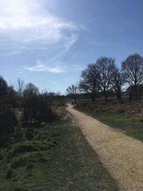
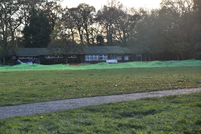
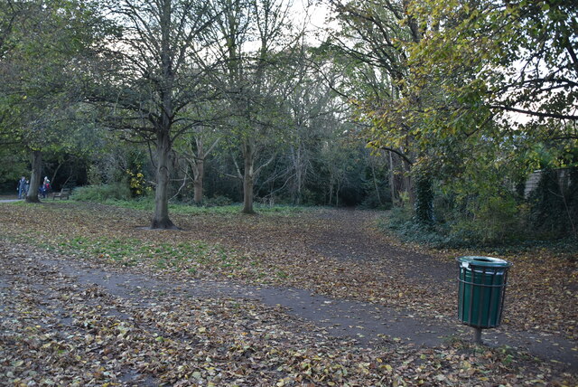
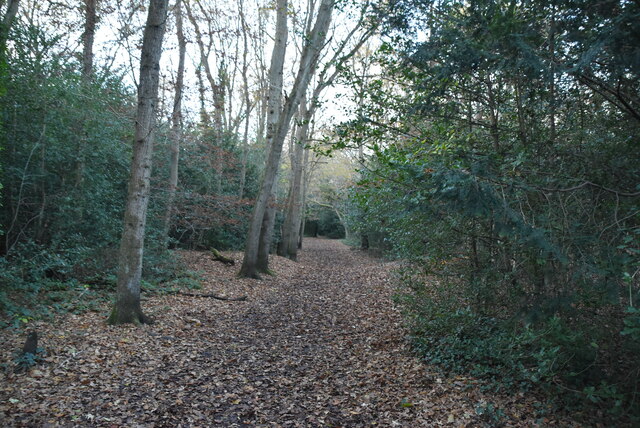
The plantation is crisscrossed by a network of well-maintained trails that allow visitors to explore its hidden treasures. These trails wind through the enchanting woodland, offering breathtaking views of the surrounding landscape. Many people flock to Teck Plantation for recreational activities such as hiking, cycling, and birdwatching.
The plantation is also known for its historical significance. It is believed to have been established in the late 18th century for timber production, and remnants of old sawmills can still be found scattered throughout the area. This historical legacy adds an extra layer of intrigue to the plantation, attracting history buffs and those interested in the region's past.
Teck Plantation, with its natural beauty, diverse wildlife, and historical significance, is a true gem in Surrey. It provides a peaceful retreat from the hustle and bustle of city life and offers visitors an opportunity to immerse themselves in the wonders of nature.
If you have any feedback on the listing, please let us know in the comments section below.
Teck Plantation Images
Images are sourced within 2km of 51.456339/-0.27303458 or Grid Reference TQ2074. Thanks to Geograph Open Source API. All images are credited.

Teck Plantation is located at Grid Ref: TQ2074 (Lat: 51.456339, Lng: -0.27303458)
Unitary Authority: Richmond upon Thames
Police Authority: Metropolitan
What 3 Words
///snaps.rich.much. Near Richmond, London
Nearby Locations
Related Wikis
East Sheen Common
East Sheen Common, also known as Sheen Common, is an area of public open space in East Sheen in the London Borough of Richmond upon Thames. It is adjacent...

Christ Church, East Sheen
Christ Church, East Sheen, is a Church of England church in East Sheen in the London Borough of Richmond upon Thames. An early work of the architect...

Tower House School
Tower House School is an independent prep school for boys aged 4 to 13 . Founded in 1931, it is located in East Sheen, near Richmond Park, in the London...

East Sheen Cemetery
East Sheen Cemetery, originally known as Barnes Cemetery, is a cemetery on Sheen Road in East Sheen in the London Borough of Richmond upon Thames, England...
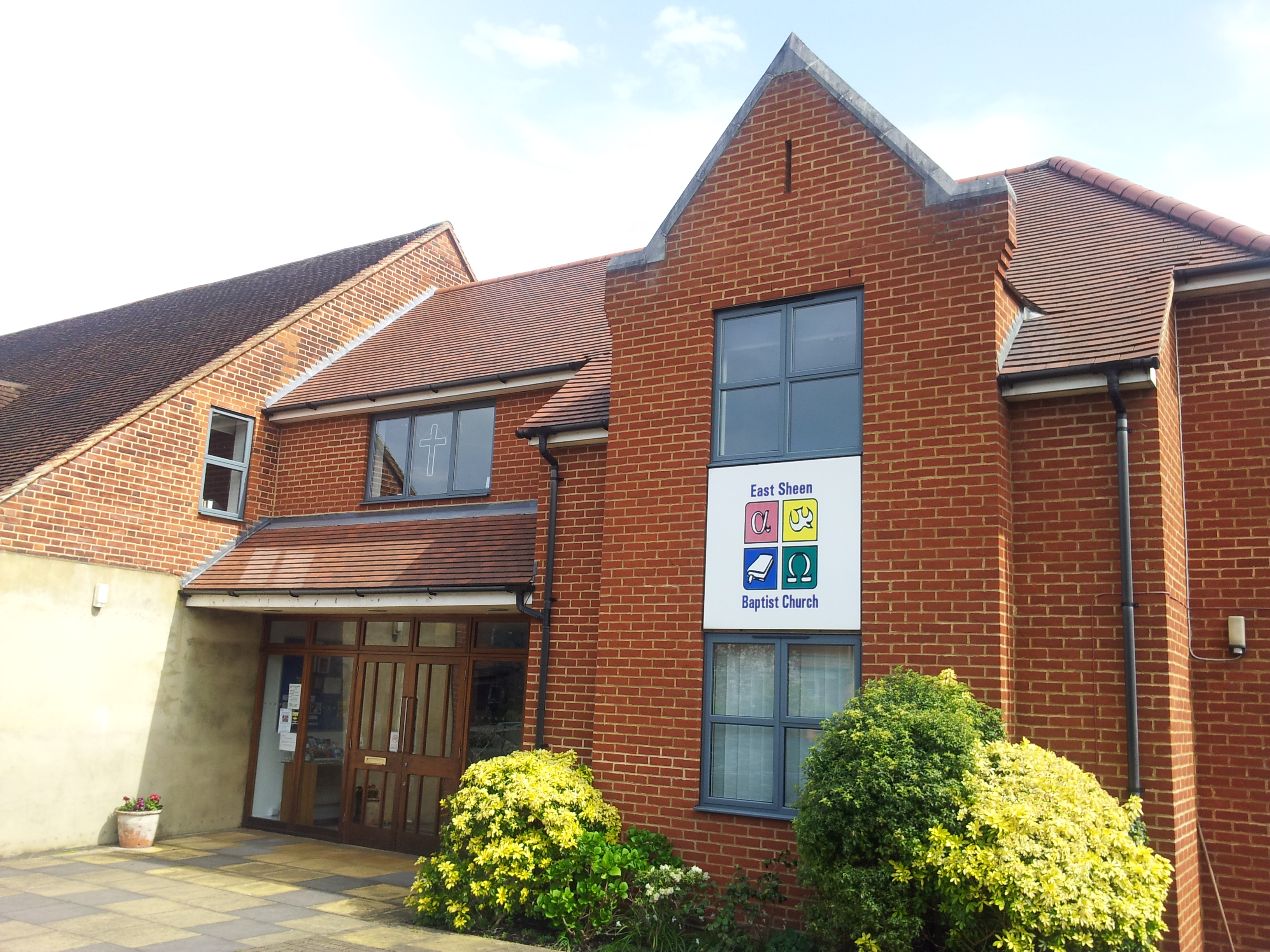
East Sheen Baptist Church
East Sheen Baptist Church is an evangelical church in East Sheen in the London Borough of Richmond upon Thames. It is affiliated to the London Baptist...

Richmond Park
Richmond Park, in the London Borough of Richmond upon Thames, is the largest of London's Royal Parks and is of national and international importance for...
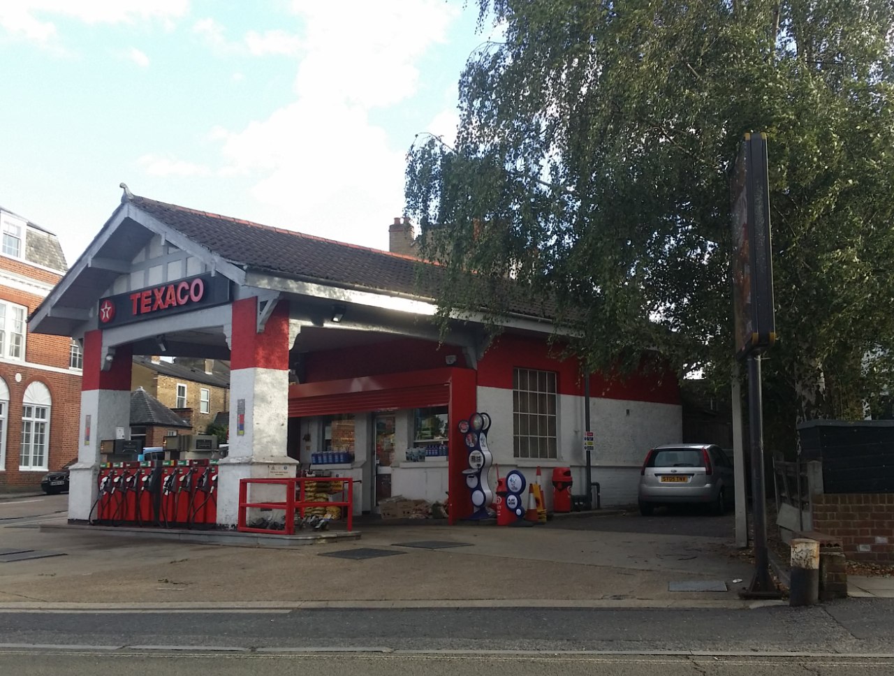
East Sheen Filling Station
East Sheen Filling Station is a petrol service station at 567 Upper Richmond Road, East Sheen, London SW14 in the London Borough of Richmond upon Thames...

South African War Memorial, Richmond Cemetery
The South African War Memorial is a First World War memorial in Richmond Cemetery in the London Borough of Richmond upon Thames. Designed by architect...
Nearby Amenities
Located within 500m of 51.456339,-0.27303458Have you been to Teck Plantation?
Leave your review of Teck Plantation below (or comments, questions and feedback).