Coolhurst Wood
Wood, Forest in Sussex Horsham
England
Coolhurst Wood

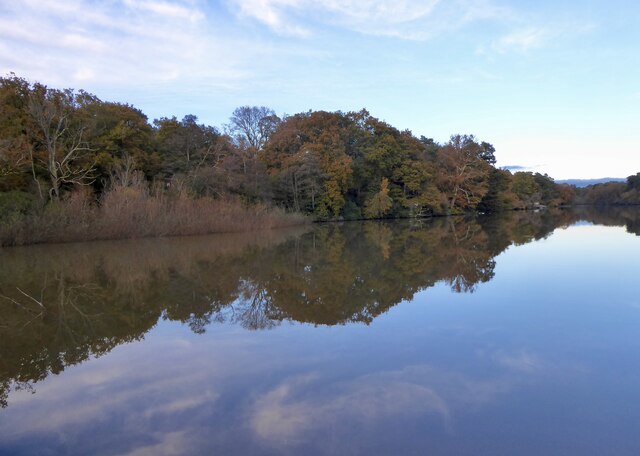
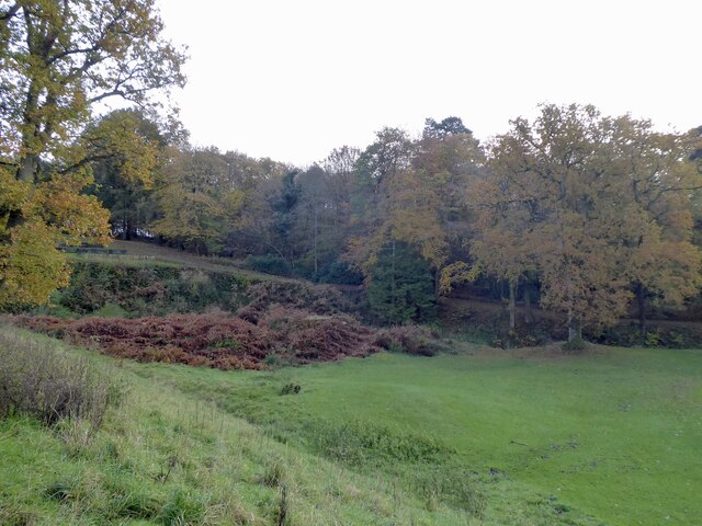
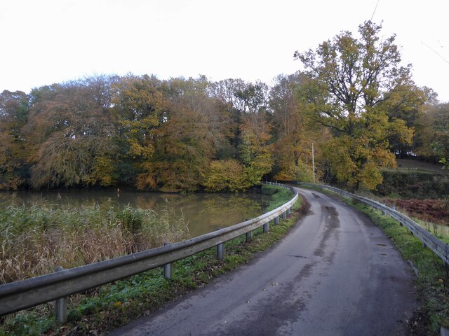
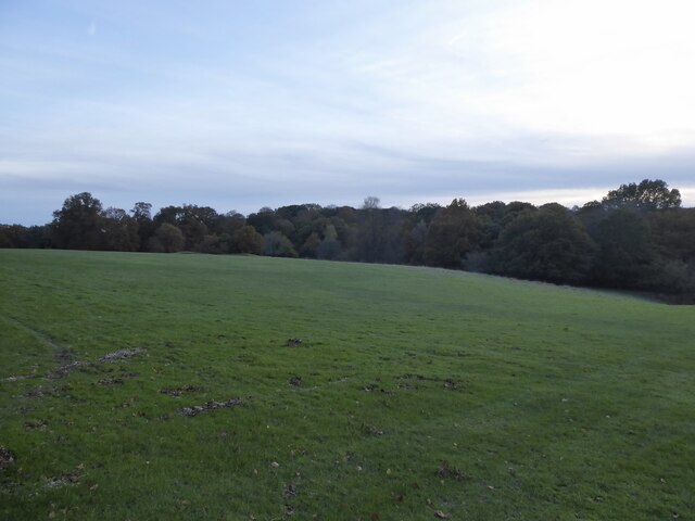
Coolhurst Wood is a picturesque woodland located in Sussex, England. Covering an area of approximately 50 hectares, it is a haven for nature lovers and outdoor enthusiasts. The wood is characterized by its diverse range of tree species, including oak, beech, and ash, which create a lush and vibrant canopy.
The woodland is home to a variety of wildlife, making it an ideal spot for birdwatching and animal spotting. Visitors may catch a glimpse of resident species such as squirrels, deer, and a multitude of bird species, including woodpeckers and owls.
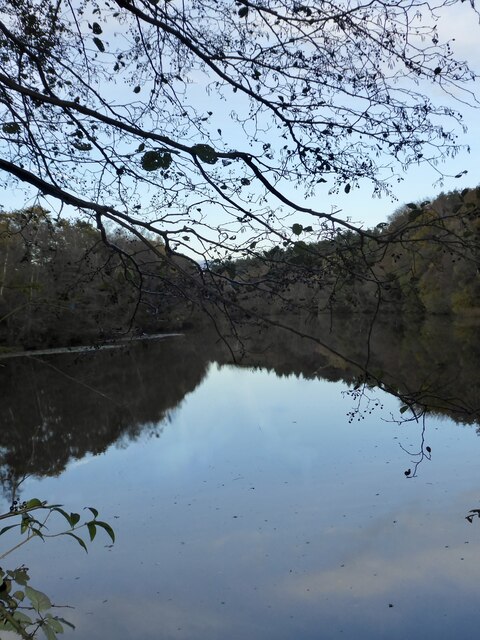
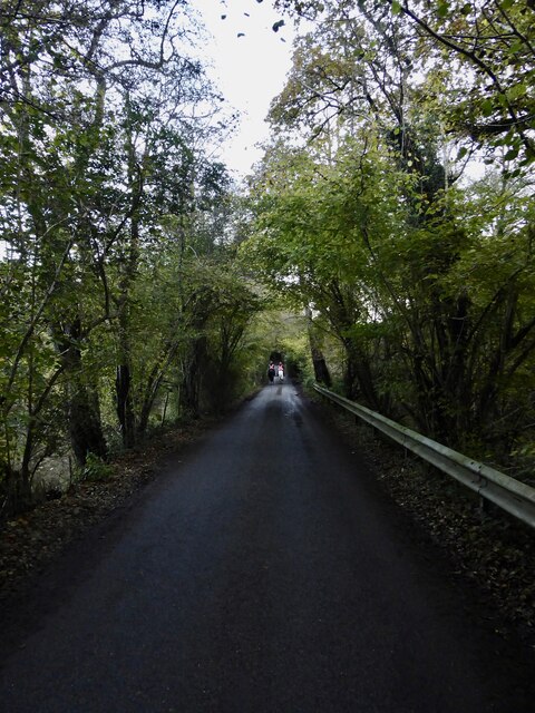
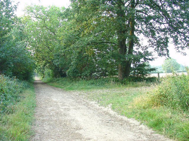
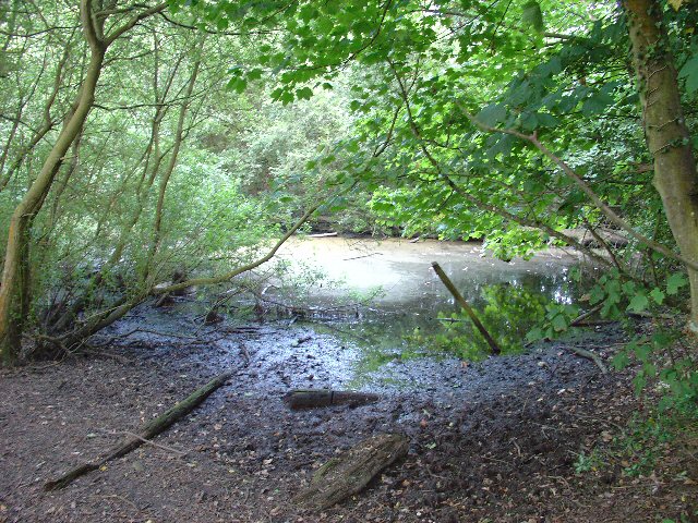
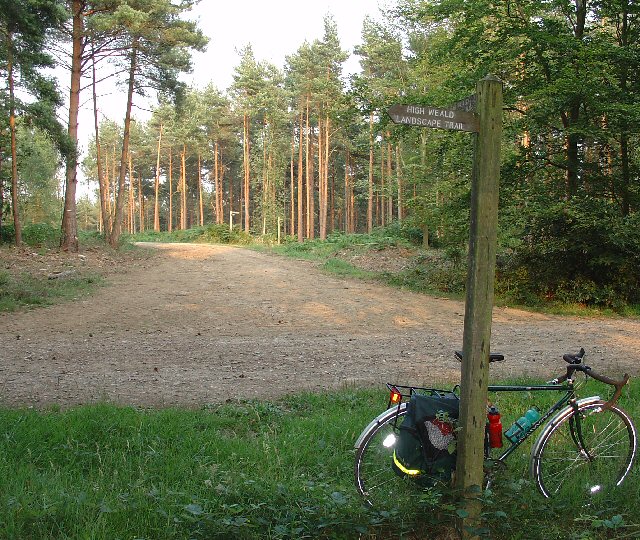
Coolhurst Wood offers a network of well-maintained footpaths and trails, allowing visitors to explore the area at their own pace. These paths wind through the wood, leading visitors through tranquil groves and alongside babbling streams. The wood also features a small pond, providing a serene spot for reflection and relaxation.
In addition to its natural beauty, Coolhurst Wood boasts a rich history. It is believed to have been used as a hunting ground by medieval nobility and later became a popular location for charcoal production. Today, remnants of charcoal hearths can still be found scattered throughout the woodland, serving as a reminder of its past.
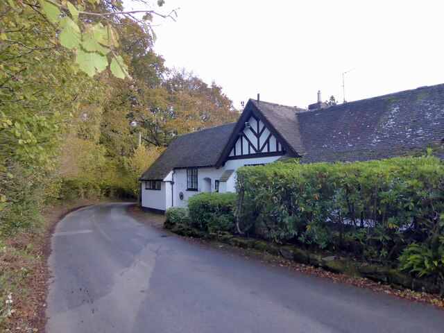
Coolhurst Wood is a cherished local gem, providing a peaceful retreat from the hustle and bustle of everyday life. Whether visitors are seeking a leisurely stroll, wildlife watching, or a place to connect with nature, this enchanting woodland offers something for everyone.
If you have any feedback on the listing, please let us know in the comments section below.
Coolhurst Wood Images
Images are sourced within 2km of 51.053217/-0.28800166 or Grid Reference TQ2029. Thanks to Geograph Open Source API. All images are credited.


Coolhurst Wood is located at Grid Ref: TQ2029 (Lat: 51.053217, Lng: -0.28800166)
Administrative County: West Sussex
District: Horsham
Police Authority: Sussex
What 3 Words
///desks.unicorns.costumes. Near Horsham, West Sussex
Nearby Locations
Related Wikis

Mannings Heath
Mannings Heath is a village in the civil parish of Nuthurst and the Horsham District of West Sussex, England. The village is on the A281 road, 2 miles...

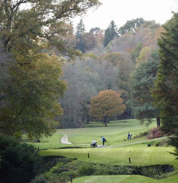
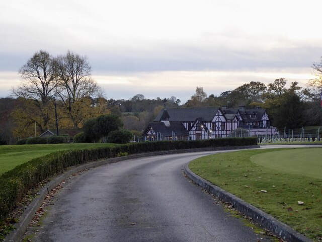
Mannings Heath Golf & Wine Estate
Mannings Heath Golf & Wine Estate is located in Mannings Heath, Horsham in the south of England. The 500 acre parkland site includes two golf courses and...

St Leonard's Park Ponds
St Leonard's Park Ponds is a 3.9-hectare (9.6-acre) biological Site of Special Scientific Interest east of Horsham in West Sussex.These ponds and adjacent...

St Leonard's Forest SSSI
St Leonard's Forest SSSI is an 85.4-hectare (211-acre) biological Site of Special Scientific Interest east of Horsham in West Sussex. The SSSI is in two...

Horsham Riverside (electoral division)
Horsham Riverside is an electoral division of West Sussex in the United Kingdom and returns one member to sit on West Sussex County Council. == Extent... ==

The Forest School, Horsham
The Forest School is a comprehensive secondary school in Horsham, West Sussex, England. It educates students between the ages of 11 and 16 and is a specialist...

St Leonard's Forest
St Leonard's Forest is at the western end of the Wealden Forest Ridge which runs from Horsham to Tonbridge, and is part of the High Weald Area of Outstanding...

Millais School
Millais School is a girls' secondary school for students aged 11–16 in Horsham, West Sussex, England. There is no sixth form. The number on roll is over...
Nearby Amenities
Located within 500m of 51.053217,-0.28800166Have you been to Coolhurst Wood?
Leave your review of Coolhurst Wood below (or comments, questions and feedback).