Golding's Hill
Hill, Mountain in Sussex Horsham
England
Golding's Hill

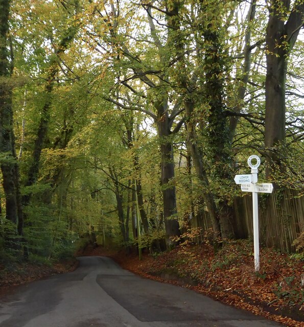
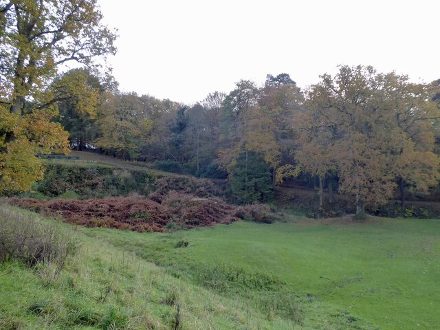
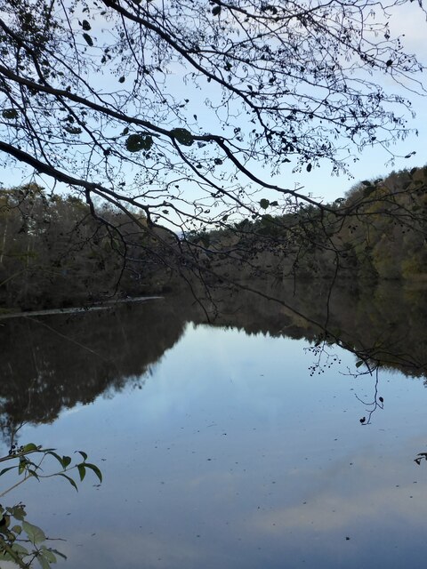
Golding's Hill is a prominent hill located in the county of Sussex, England. Situated in the South Downs National Park, it offers breathtaking panoramic views of the surrounding countryside. Rising to an elevation of approximately 234 meters, it is often considered one of the highest points in Sussex, making it a popular destination for hikers, nature enthusiasts, and photographers.
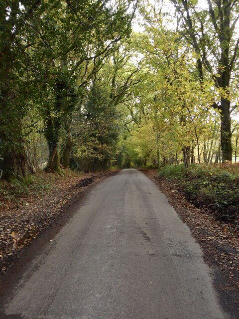
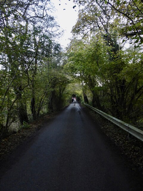
The hill is named after a local landowner, and its well-maintained footpaths and trails make it easily accessible for visitors. The terrain is predominantly grassy, with occasional patches of woodland, providing a diverse habitat for a variety of plant and animal species. Wildflowers such as bluebells and primroses can be seen during the spring months, creating a vibrant and colorful landscape.
At the summit of Golding's Hill, there is a trig point, which is a concrete pillar used for surveying purposes. From this vantage point, visitors can enjoy stunning views that stretch across the rolling hills of Sussex, with glimpses of the English Channel in the distance on clear days. The hill's strategic location also makes it an ideal spot for stargazing, as the absence of light pollution allows for a clear view of the night sky.
Golding's Hill is not only a place of natural beauty but also holds historical significance. It is believed that the area has been inhabited since ancient times, with evidence of prehistoric settlements and Roman remains found in the vicinity. Today, it serves as a reminder of the rich heritage and natural wonders that Sussex has to offer.
If you have any feedback on the listing, please let us know in the comments section below.
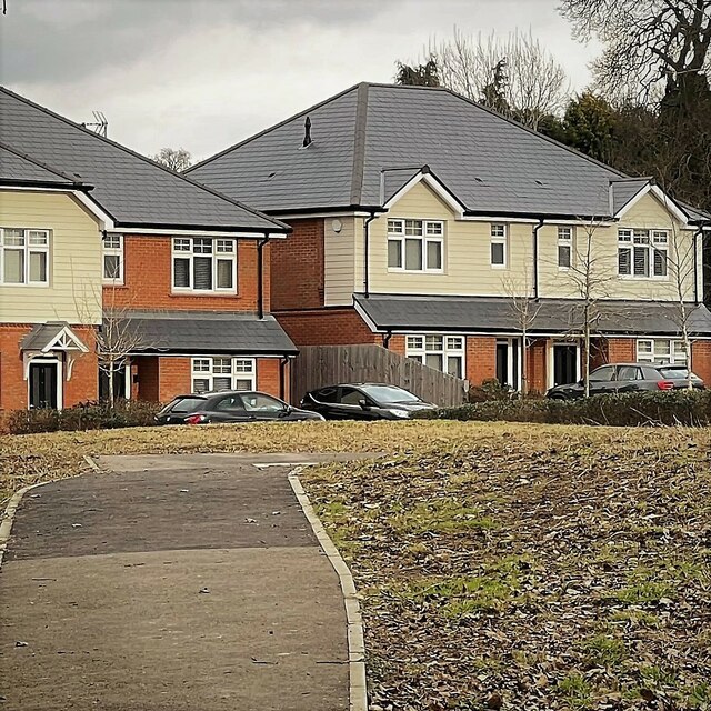
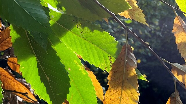
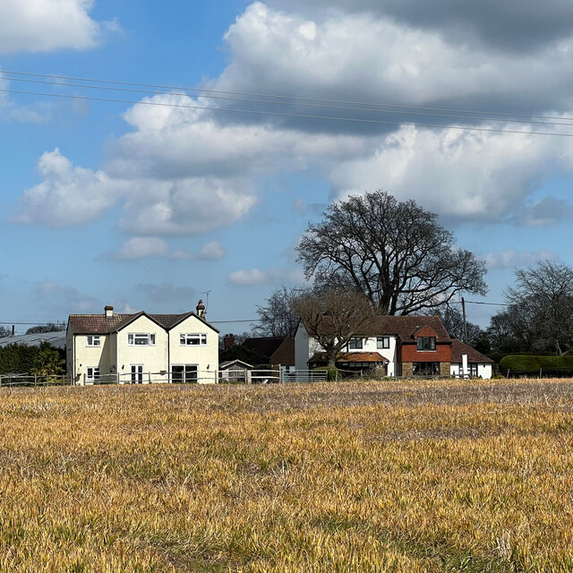
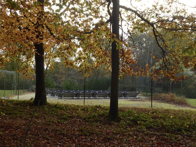
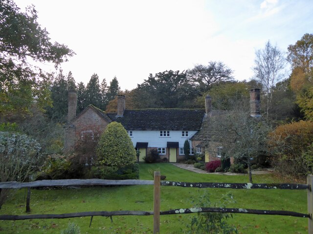
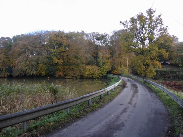
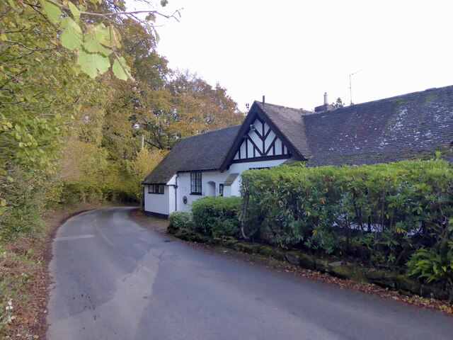
Golding's Hill Images
Images are sourced within 2km of 51.048416/-0.28375594 or Grid Reference TQ2029. Thanks to Geograph Open Source API. All images are credited.


Golding's Hill is located at Grid Ref: TQ2029 (Lat: 51.048416, Lng: -0.28375594)
Administrative County: West Sussex
District: Horsham
Police Authority: Sussex
What 3 Words
///revealing.certainty.betrayal. Near Horsham, West Sussex
Nearby Locations
Related Wikis

Mannings Heath
Mannings Heath is a village in the civil parish of Nuthurst and the Horsham District of West Sussex, England. The village is on the A281 road, 2 miles...

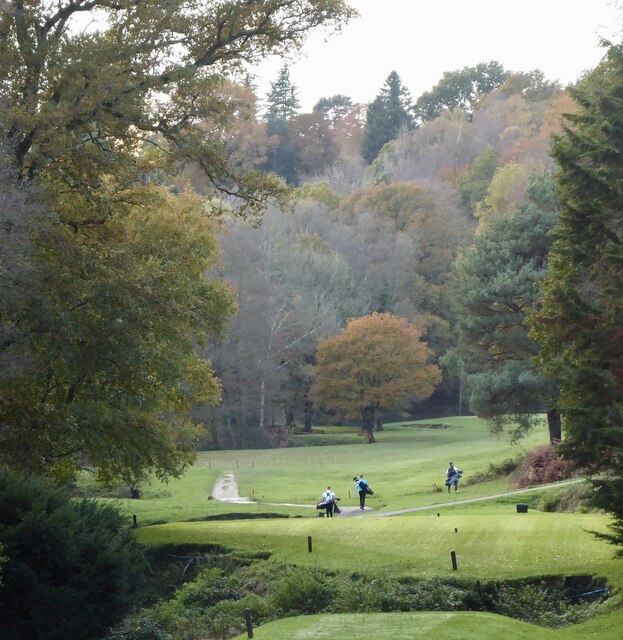
Mannings Heath Golf & Wine Estate
Mannings Heath Golf & Wine Estate is located in Mannings Heath, Horsham in the south of England. The 500 acre parkland site includes two golf courses and...

St Leonard's Forest SSSI
St Leonard's Forest SSSI is an 85.4-hectare (211-acre) biological Site of Special Scientific Interest east of Horsham in West Sussex. The SSSI is in two...

Monk's Gate
Monk's Gate is a hamlet in the civil parish of Nuthurst, in the Horsham District of West Sussex, England. It lies on the A281 road 3 miles (5 km) southeast...

St Leonard's Park Ponds
St Leonard's Park Ponds is a 3.9-hectare (9.6-acre) biological Site of Special Scientific Interest east of Horsham in West Sussex.These ponds and adjacent...

Horsham Riverside (electoral division)
Horsham Riverside is an electoral division of West Sussex in the United Kingdom and returns one member to sit on West Sussex County Council. == Extent... ==

St Leonard's Forest
St Leonard's Forest is at the western end of the Wealden Forest Ridge which runs from Horsham to Tonbridge, and is part of the High Weald Area of Outstanding...

The Forest School, Horsham
The Forest School is a comprehensive secondary school in Horsham, West Sussex, England. It educates students between the ages of 11 and 16 and is a specialist...
Nearby Amenities
Located within 500m of 51.048416,-0.28375594Have you been to Golding's Hill?
Leave your review of Golding's Hill below (or comments, questions and feedback).