Roosthole Hill
Hill, Mountain in Sussex Horsham
England
Roosthole Hill

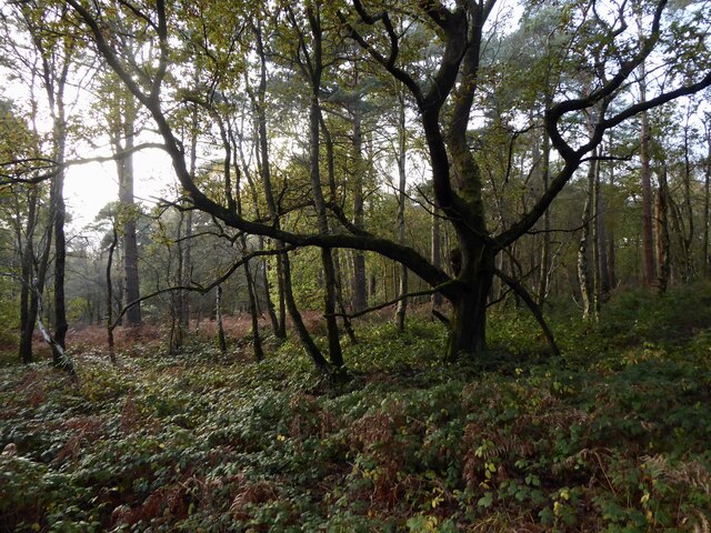
Roosthole Hill is a prominent hill located in the county of Sussex, England. It is situated in the South Downs National Park, near the village of South Harting. Rising to a height of around 201 meters (659 feet), it is considered one of the notable landmarks in the area.
The hill is primarily composed of chalk, which is a characteristic feature of the South Downs region. It offers breathtaking panoramic views of the surrounding countryside, including the rolling hills, verdant meadows, and picturesque villages. On clear days, it is possible to catch glimpses of the English Channel in the distance.
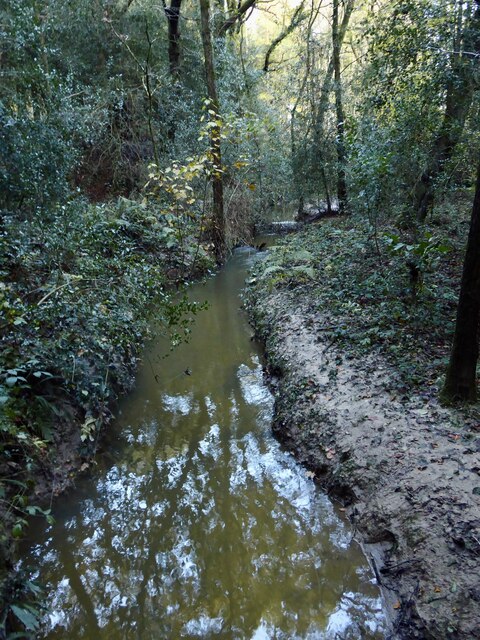
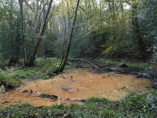
Roosthole Hill is home to diverse wildlife, with several species of birds, butterflies, and wildflowers inhabiting the area. It provides an ideal habitat for various butterfly species due to the abundance of nectar-rich plants that grow on the hillside.
The hill has archaeological significance as well, with evidence of human activity dating back to the Neolithic period. Archaeologists have discovered flint tools and pottery fragments, indicating that the hill was once inhabited by early settlers.
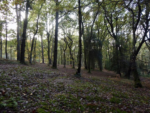
Roosthole Hill attracts both locals and tourists alike, who visit to enjoy the stunning natural beauty and engage in outdoor activities such as hiking and nature walks. Several trails have been established on the hill, allowing visitors to explore its scenic surroundings and appreciate the serene ambiance.
Overall, Roosthole Hill holds a special place in the hearts of Sussex residents and visitors, offering a tranquil escape and a chance to immerse oneself in the captivating beauty of the South Downs landscape.
If you have any feedback on the listing, please let us know in the comments section below.
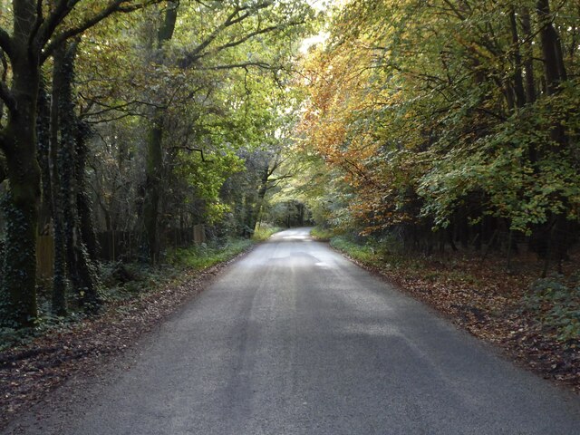
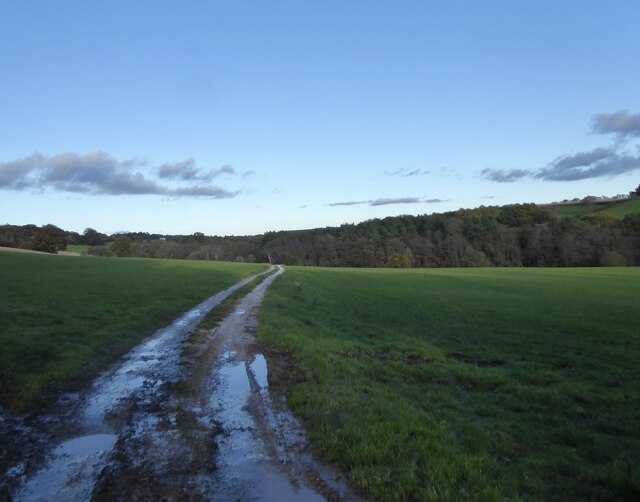
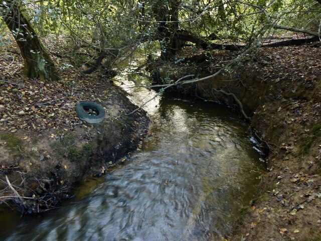
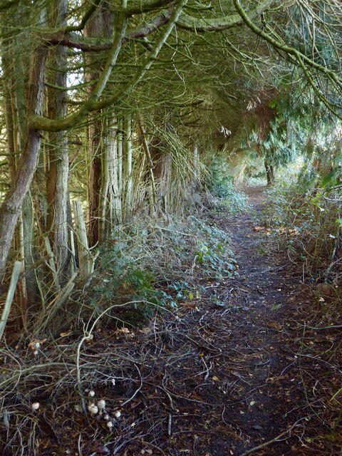
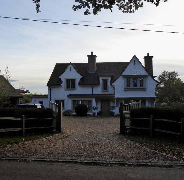
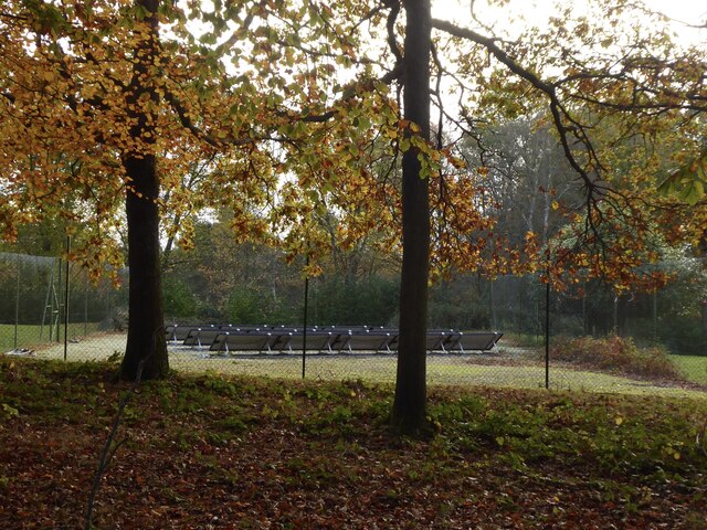
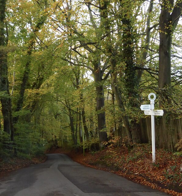
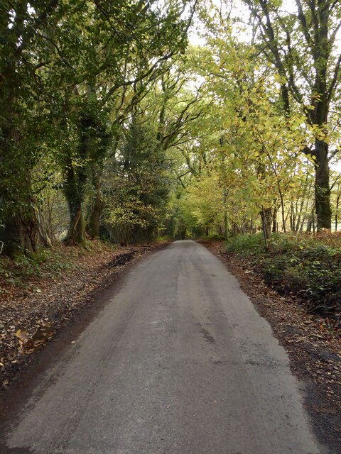
Roosthole Hill Images
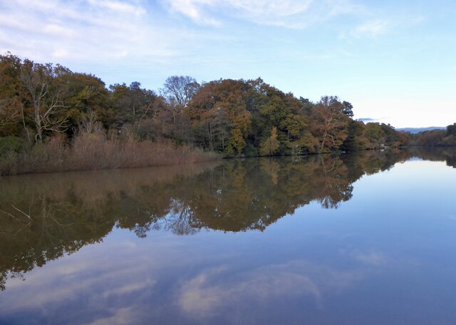
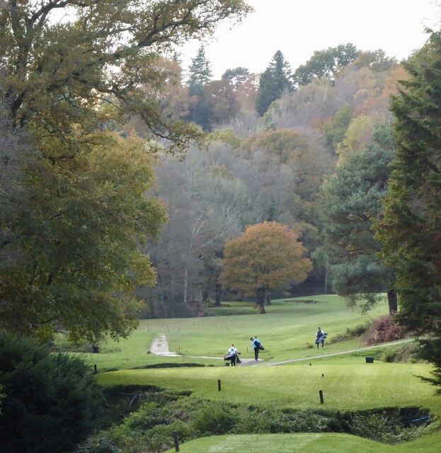
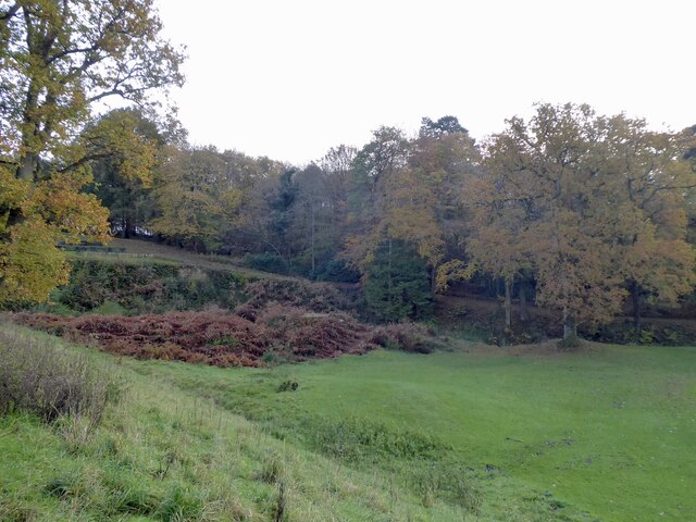
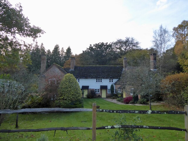
Images are sourced within 2km of 51.054556/-0.27511031 or Grid Reference TQ2029. Thanks to Geograph Open Source API. All images are credited.

Roosthole Hill is located at Grid Ref: TQ2029 (Lat: 51.054556, Lng: -0.27511031)
Administrative County: West Sussex
District: Horsham
Police Authority: Sussex
What 3 Words
///digits.slurping.staging. Near Horsham, West Sussex
Nearby Locations
Related Wikis

Mannings Heath Golf & Wine Estate
Mannings Heath Golf & Wine Estate is located in Mannings Heath, Horsham in the south of England. The 500 acre parkland site includes two golf courses and...

St Leonard's Forest SSSI
St Leonard's Forest SSSI is an 85.4-hectare (211-acre) biological Site of Special Scientific Interest east of Horsham in West Sussex. The SSSI is in two...

St Leonard's Forest
St Leonard's Forest is at the western end of the Wealden Forest Ridge which runs from Horsham to Tonbridge, and is part of the High Weald Area of Outstanding...

Mannings Heath
Mannings Heath is a village in the civil parish of Nuthurst and the Horsham District of West Sussex, England. The village is on the A281 road, 2 miles...

St Leonard's Park Ponds
St Leonard's Park Ponds is a 3.9-hectare (9.6-acre) biological Site of Special Scientific Interest east of Horsham in West Sussex.These ponds and adjacent...

Horsham Riverside (electoral division)
Horsham Riverside is an electoral division of West Sussex in the United Kingdom and returns one member to sit on West Sussex County Council. == Extent... ==

The Forest School, Horsham
The Forest School is a comprehensive secondary school in Horsham, West Sussex, England. It educates students between the ages of 11 and 16 and is a specialist...

Monk's Gate
Monk's Gate is a hamlet in the civil parish of Nuthurst, in the Horsham District of West Sussex, England. It lies on the A281 road 3 miles (5 km) southeast...
Nearby Amenities
Located within 500m of 51.054556,-0.27511031Have you been to Roosthole Hill?
Leave your review of Roosthole Hill below (or comments, questions and feedback).