Coolhurst Wood
Settlement in Sussex Horsham
England
Coolhurst Wood

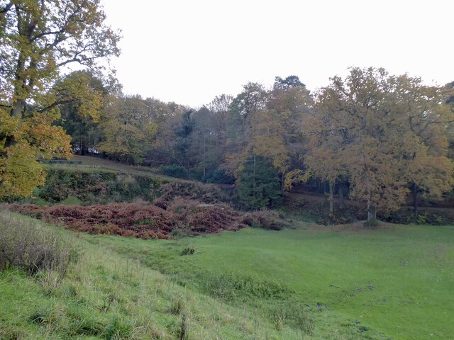
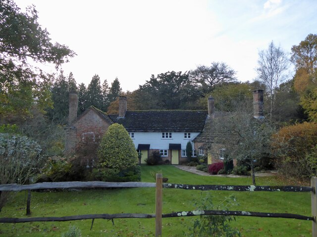
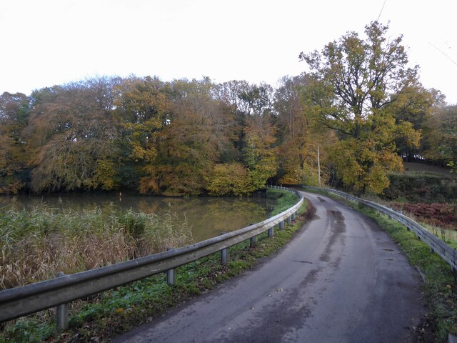
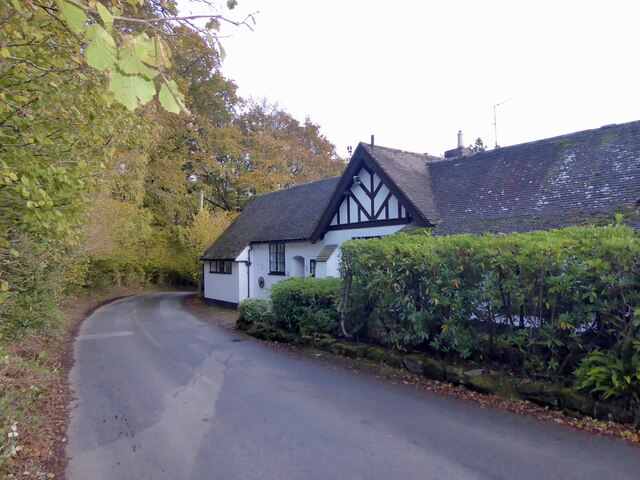
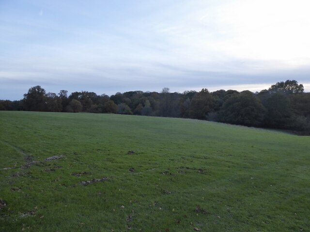
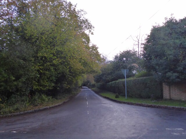
Coolhurst Wood is a picturesque woodland located in the county of Sussex, England. Covering an area of approximately 50 acres, it is situated near the village of Coolhurst and is easily accessible from neighboring towns and cities.
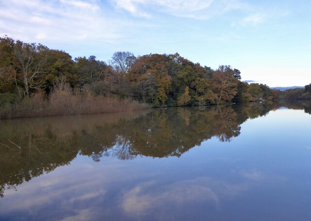
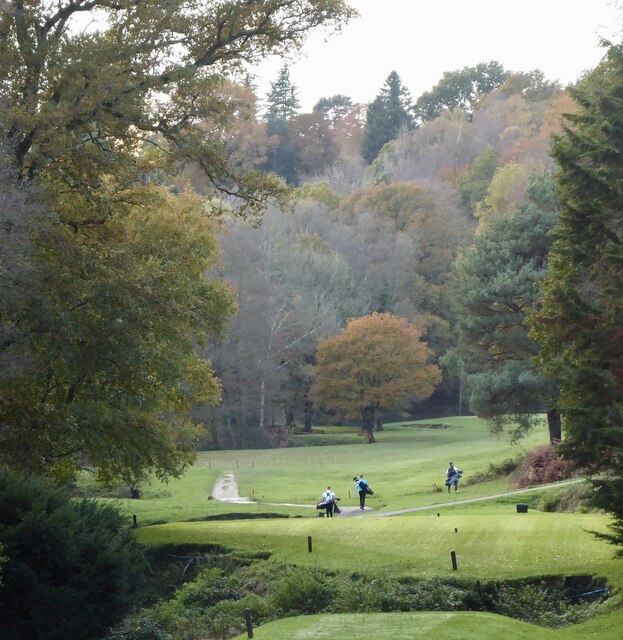
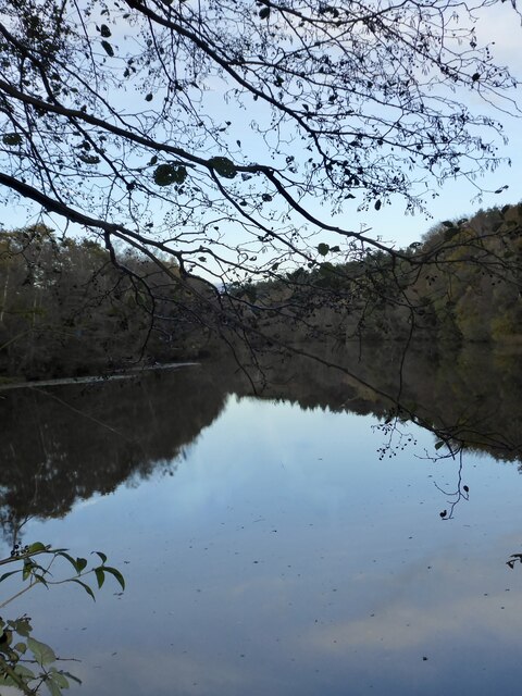
The woodland is characterized by its diverse range of tree species, including oak, beech, and ash, which create a vibrant and lush canopy. The forest floor is adorned with an array of wildflowers, ferns, and mosses, adding to its natural beauty. Coolhurst Wood is known for its tranquil atmosphere, making it a popular spot for nature enthusiasts, hikers, and birdwatchers.
The wood is home to a variety of wildlife, providing a natural habitat for species such as deer, foxes, badgers, squirrels, and numerous bird species. One might also spot rabbits and hedgehogs scurrying amongst the undergrowth. The peaceful surroundings and abundance of flora and fauna make Coolhurst Wood an ideal destination for those seeking a peaceful retreat or an opportunity to connect with nature.
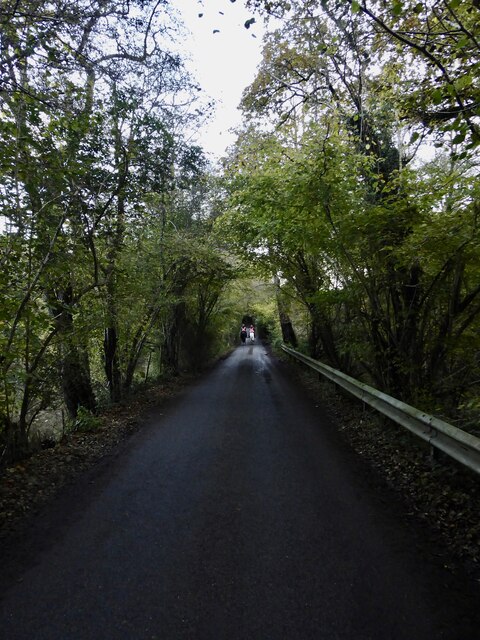
The woodland offers several well-maintained trails, providing visitors with the opportunity to explore its scenic beauty. It is also equipped with picnic areas and benches, allowing visitors to relax and enjoy the surroundings. In addition, there are information boards scattered throughout the wood, providing educational insights into the local ecosystem and history.
Coolhurst Wood is a cherished natural gem in Sussex, offering a serene escape from the hustle and bustle of daily life and providing an immersive experience in the wonders of the English countryside.
If you have any feedback on the listing, please let us know in the comments section below.
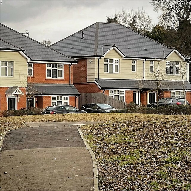
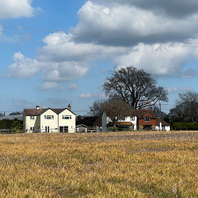
Coolhurst Wood Images
Images are sourced within 2km of 51.047825/-0.2894702 or Grid Reference TQ2029. Thanks to Geograph Open Source API. All images are credited.


Coolhurst Wood is located at Grid Ref: TQ2029 (Lat: 51.047825, Lng: -0.2894702)
Administrative County: West Sussex
District: Horsham
Police Authority: Sussex
What 3 Words
///lanes.drummers.prompting. Near Horsham, West Sussex
Nearby Locations
Related Wikis

Mannings Heath
Mannings Heath is a village in the civil parish of Nuthurst and the Horsham District of West Sussex, England. The village is on the A281 road, 2 miles...

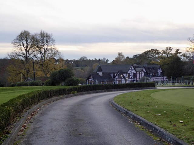
Mannings Heath Golf & Wine Estate
Mannings Heath Golf & Wine Estate is located in Mannings Heath, Horsham in the south of England. The 500 acre parkland site includes two golf courses and...

Monk's Gate
Monk's Gate is a hamlet in the civil parish of Nuthurst, in the Horsham District of West Sussex, England. It lies on the A281 road 3 miles (5 km) southeast...

St Leonard's Forest SSSI
St Leonard's Forest SSSI is an 85.4-hectare (211-acre) biological Site of Special Scientific Interest east of Horsham in West Sussex. The SSSI is in two...

Horsham Riverside (electoral division)
Horsham Riverside is an electoral division of West Sussex in the United Kingdom and returns one member to sit on West Sussex County Council. == Extent... ==

St Leonard's Park Ponds
St Leonard's Park Ponds is a 3.9-hectare (9.6-acre) biological Site of Special Scientific Interest east of Horsham in West Sussex.These ponds and adjacent...

The Forest School, Horsham
The Forest School is a comprehensive secondary school in Horsham, West Sussex, England. It educates students between the ages of 11 and 16 and is a specialist...

Southwater & Nuthurst (electoral division)
Southwater & Nuthurst is an electoral division of West Sussex in the United Kingdom and returns one member to sit on West Sussex County Council. The current...
Nearby Amenities
Located within 500m of 51.047825,-0.2894702Have you been to Coolhurst Wood?
Leave your review of Coolhurst Wood below (or comments, questions and feedback).