Walton Hill
Hill, Mountain in Huntingdonshire Huntingdonshire
England
Walton Hill
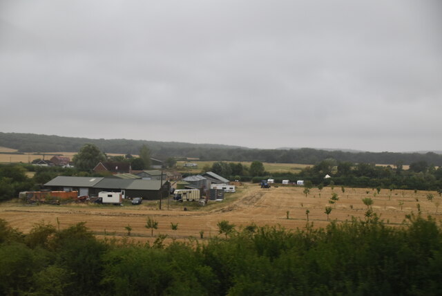
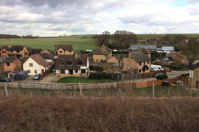
Walton Hill is a prominent natural feature located in the district of Huntingdonshire in the county of Cambridgeshire, England. Standing at an elevation of approximately 86 meters (282 feet), it is considered a hill rather than a mountain due to its relatively modest height. The hill is situated near the village of Walton, which is part of the civil parish of Brampton.
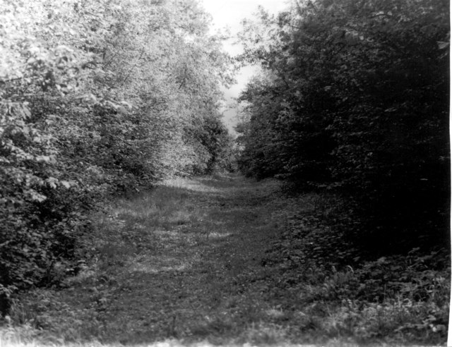
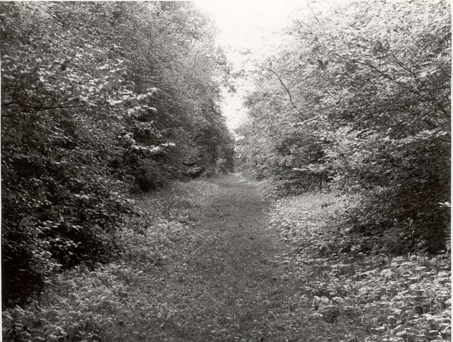
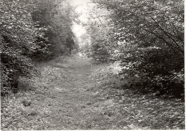
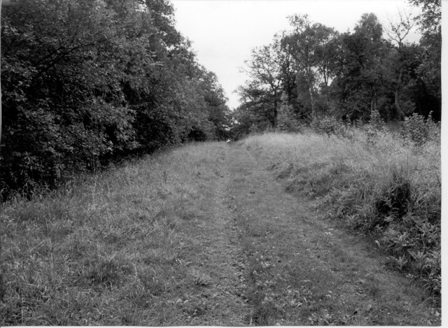
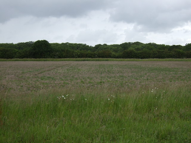
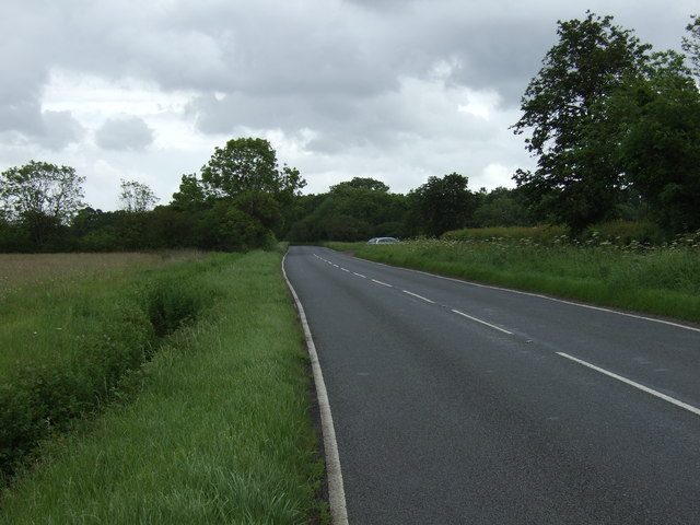
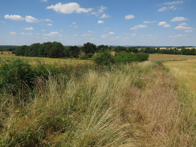
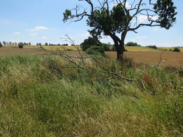
Walton Hill offers panoramic views of the surrounding countryside, including the nearby towns of Huntingdon and Godmanchester. The area is popular among hikers and nature enthusiasts, who come to explore the scenic trails and enjoy the peaceful atmosphere. The hill is covered in lush greenery, with a variety of plant and animal species calling it home.
In addition to its natural beauty, Walton Hill also has historical significance, with evidence of ancient settlements dating back to the Iron Age being discovered in the area. The hill is a designated Site of Special Scientific Interest (SSSI), further highlighting its importance in terms of biodiversity and conservation. Overall, Walton Hill is a picturesque and culturally significant landmark in Huntingdonshire, attracting visitors from near and far.
If you have any feedback on the listing, please let us know in the comments section below.
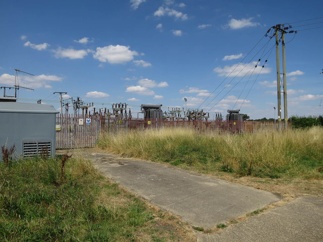
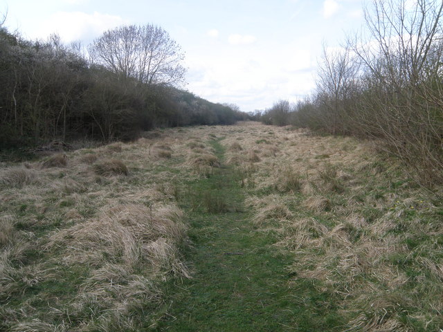
Walton Hill Images
Images are sourced within 2km of 52.404604/-0.22221735 or Grid Reference TL2179. Thanks to Geograph Open Source API. All images are credited.


Walton Hill is located at Grid Ref: TL2179 (Lat: 52.404604, Lng: -0.22221735)
Administrative County: Cambridgeshire
District: Huntingdonshire
Police Authority: Cambridgeshire
What 3 Words
///orbit.guests.seashell. Near Alconbury, Cambridgeshire
Nearby Locations
Related Wikis

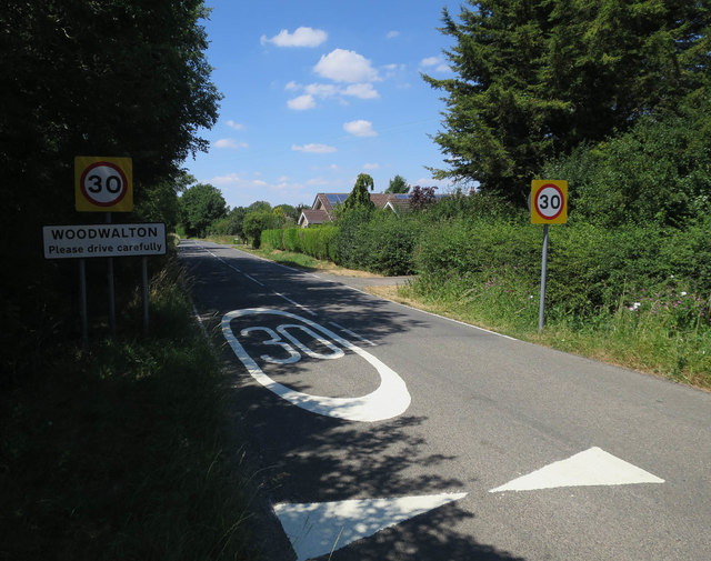
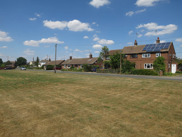
Woodwalton
Wood Walton is a village and civil parish in Cambridgeshire, England. Wood Walton lies approximately 6 miles (10 km) north of Huntingdon and just east...
Woodwalton Marsh
Woodwalton Marsh is a 0.8-hectare (2.0-acre) biological Site of Special Scientific Interest north-east of Woodwalton in Cambridgeshire. It is managed by...

Monks Wood
Monks Wood is a 157-hectare (390-acre) National Nature Reserve north-west of Huntingdon in Cambridgeshire, and a Nature Conservation Review site, Grade...

Abbots Ripton railway station
Abbots Ripton railway station was a railway station on the East Coast Main Line in the English county of Cambridgeshire. Although trains still pass on...
Nearby Amenities
Located within 500m of 52.404604,-0.22221735Have you been to Walton Hill?
Leave your review of Walton Hill below (or comments, questions and feedback).