Chaffolds Copse
Wood, Forest in Surrey Mole Valley
England
Chaffolds Copse
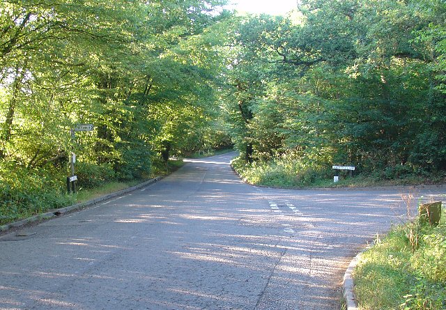
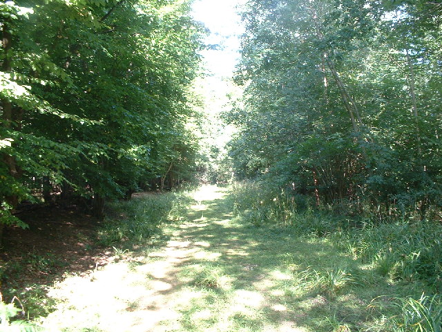
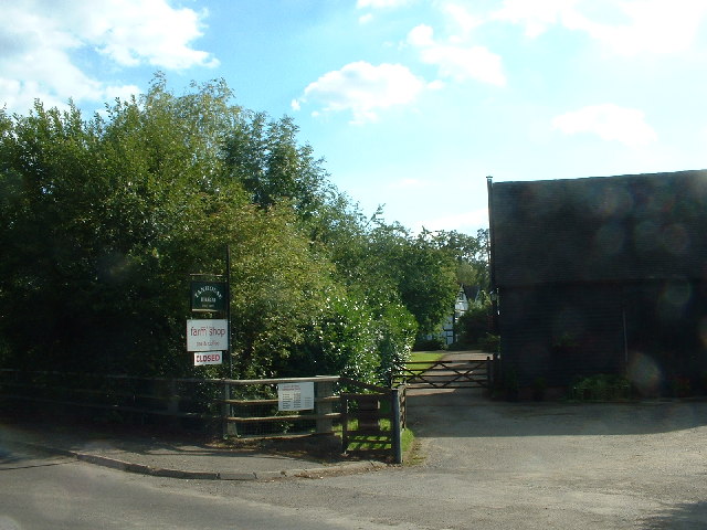
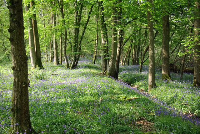
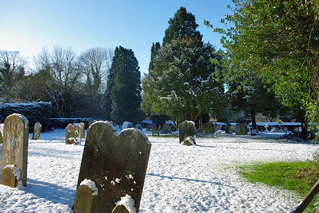
Chaffolds Copse is a picturesque woodland located in the county of Surrey, England. Situated near the village of Chiddingfold, it covers an area of approximately 20 acres and is renowned for its natural beauty and tranquility. The copse is comprised of a mixture of deciduous and coniferous trees, creating a diverse and vibrant ecosystem.
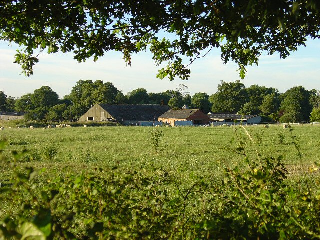
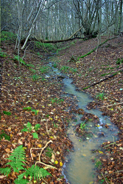
The woodland is a popular destination for nature enthusiasts and outdoor enthusiasts alike. With its well-maintained walking trails, visitors can explore the copse at their own pace, taking in the stunning scenery and observing the abundant wildlife that calls the area home. From colorful wildflowers and ancient oak trees to a variety of bird species and small mammals, the copse offers a rich and diverse habitat.
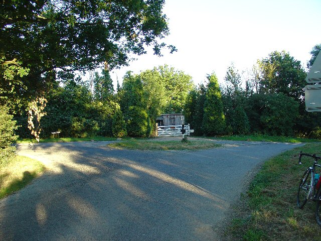
Chaffolds Copse also holds historical significance, as it is believed to have been used as a hunting ground by the local nobility in the past. Remnants of old hunting lodges and gamekeeper's cottages can still be seen within the copse, adding to its charm and allure.
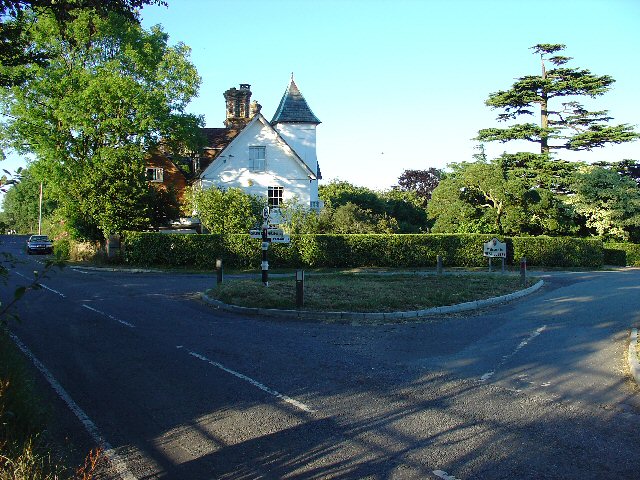
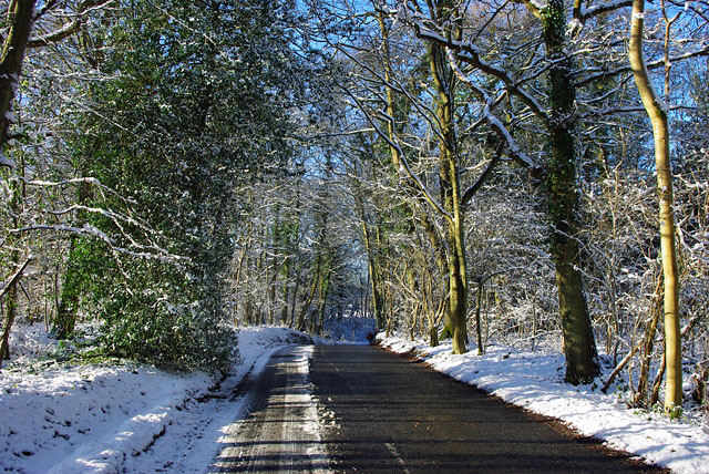
The copse is easily accessible, with a car park located nearby, and is a popular spot for picnics, family outings, and nature walks. It provides a peaceful retreat from the hustle and bustle of everyday life, allowing visitors to reconnect with nature and enjoy the beauty of the Surrey countryside.
In summary, Chaffolds Copse is a stunning woodland in Surrey, offering a wealth of natural beauty, wildlife, and historical interest. It is a must-visit destination for those seeking a tranquil and scenic escape.
If you have any feedback on the listing, please let us know in the comments section below.
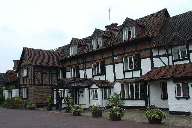
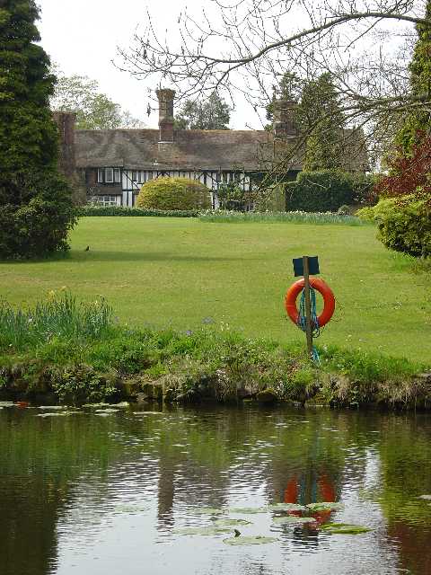
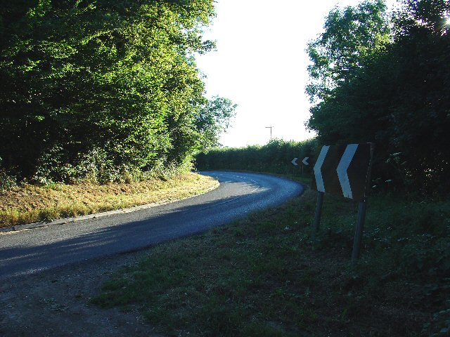
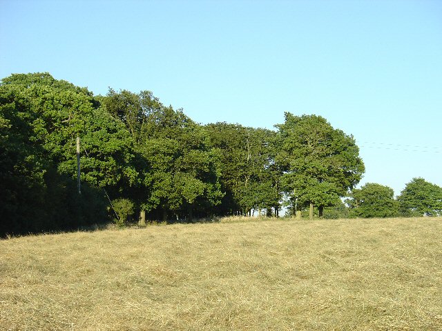
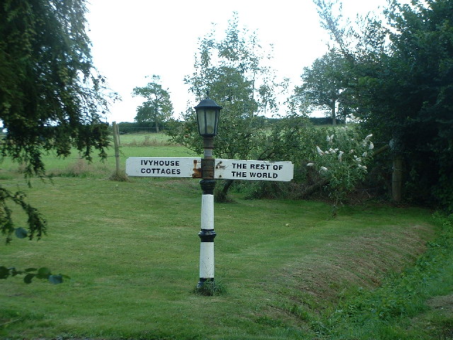
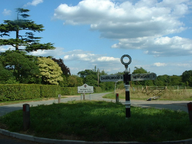
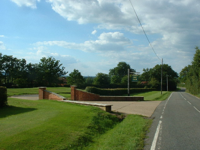
Chaffolds Copse Images
Images are sourced within 2km of 51.139442/-0.27705197 or Grid Reference TQ2039. Thanks to Geograph Open Source API. All images are credited.

Chaffolds Copse is located at Grid Ref: TQ2039 (Lat: 51.139442, Lng: -0.27705197)
Administrative County: Surrey
District: Mole Valley
Police Authority: Surrey
What 3 Words
///many.final.cargo. Near Capel, Surrey
Nearby Locations
Related Wikis

Rusper
Rusper is a village and civil parish in the Horsham District of West Sussex, England. It lies 4.1 miles (6.6 km) north of the town of Horsham and 4.2 miles...

Glover's Wood
Glover's Wood is a 74.5-hectare (184-acre) biological Site of Special Scientific Interest east of Charlwood in Surrey. It is a Nature Conservation Review...

Lambs Green
Lambs Green is a hamlet in the civil parish of Rusper and the Horsham District of West Sussex, England. It lies on the Rusper to Ifield road 3.1 miles...

Clock House Brickworks
Clock House Brickworks is a 35.9-hectare (89-acre) geological Site of Special Scientific Interest south of Capel in Surrey. It is a Geological Conservation...
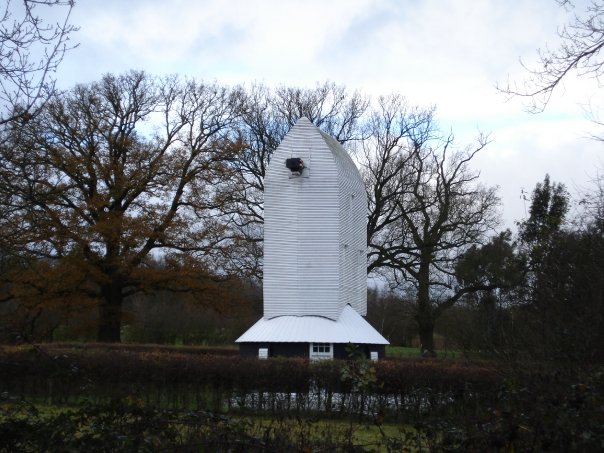
Lowfield Heath Windmill
Lowfield Heath Windmill is a grade II listed post mill at Charlwood, Surrey, England which has been restored to working order. == History == The Lowfield...

Capel, Surrey
Capel () is a village and civil parish in southern Surrey, England. It is equidistant between Dorking and Horsham – about 5 miles (8.0 km) away. Around...

Newdigate Brickworks
Newdigate Brickworks is a 24-hectare (59-acre) nature reserve in Newdigate in Surrey. It is managed by the Surrey Wildlife Trust.The clay pits of this...
Shiremark Mill, Capel
Shiremark Mill, also known as Kingsfold Mill or Capel Mill was a listed Smock mill at Capel, Surrey, England, which was burnt down in 1972. == History... ==
Nearby Amenities
Located within 500m of 51.139442,-0.27705197Have you been to Chaffolds Copse?
Leave your review of Chaffolds Copse below (or comments, questions and feedback).