Duke's Copse

Wood, Forest in Surrey Mole Valley

England

Duke's Copse

Waffles Corner on the road between Rusper (West Sussex) and Capel (Surrey). Many such roads in this area. The rural population is quite high and these roads are often busy, hence quite wide and with lines down the middle.
Waffles Corner on the road between Rusper (West Sussex) and Capel (Surrey). Credit: Pete Chapman

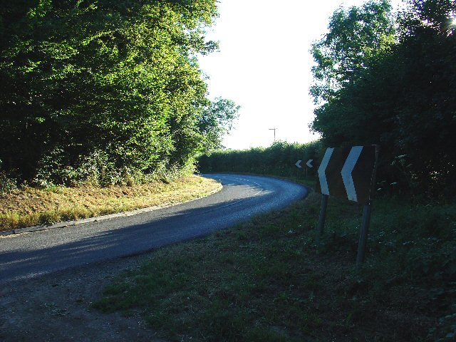
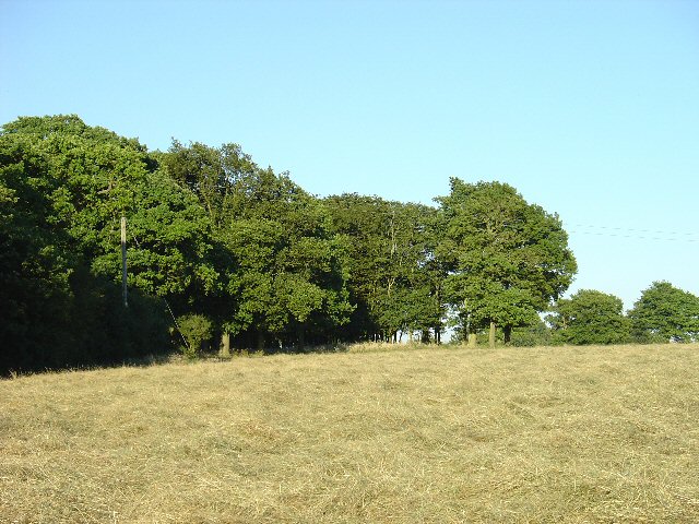
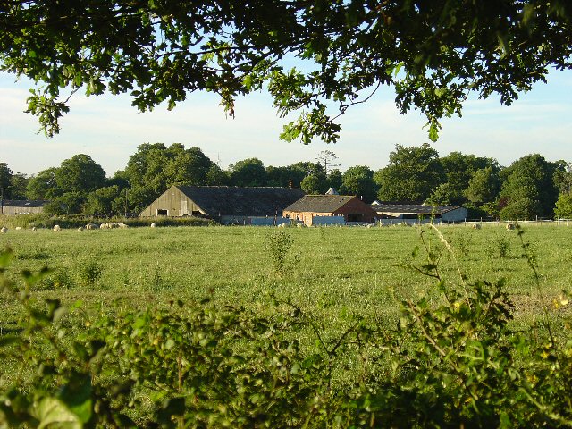
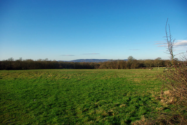
Duke's Copse is a picturesque woodland area located in the county of Surrey, England. Covering an extensive area of approximately 50 acres, it is situated near the village of Chobham, just a short distance from the bustling town of Woking.

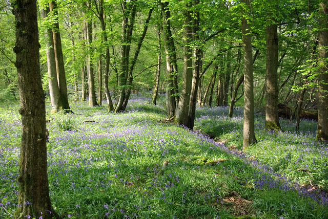
The copse is known for its diverse range of tree species, including oak, beech, and birch, which create a rich and vibrant canopy overhead. The forest floor is carpeted with an array of wildflowers and ferns, adding to its natural charm. The woodland is also home to a variety of wildlife, including deer, badgers, and a wide variety of bird species, making it a popular spot for nature lovers and birdwatchers alike.

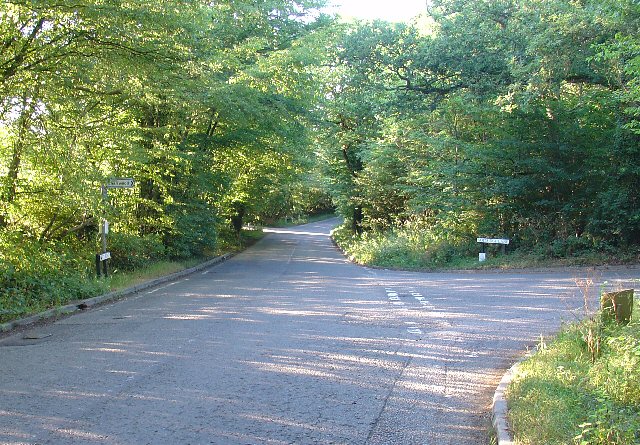
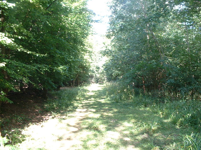
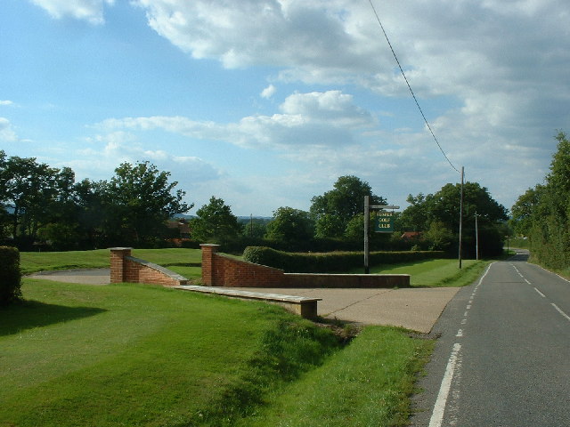
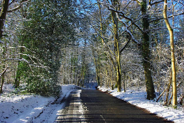
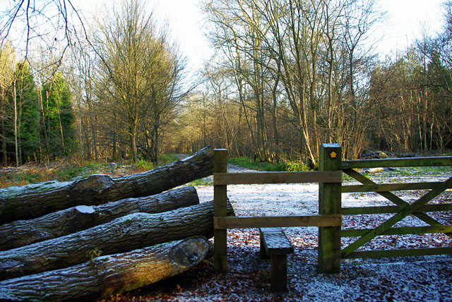
One of the striking features of Duke's Copse is its network of walking trails, which wind their way through the forest, providing visitors with the opportunity to explore its beauty at their own pace. These well-maintained paths offer stunning views of the surrounding countryside, and there are numerous benches and picnic areas dotted along the trails, offering visitors a chance to rest and soak in the tranquil atmosphere.

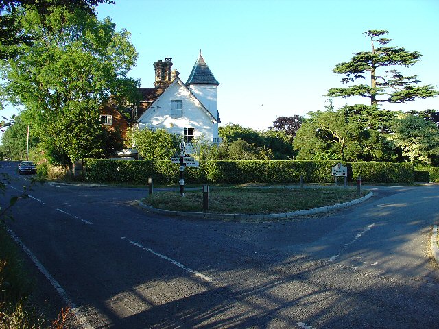
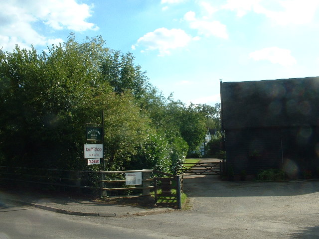
Duke's Copse is easily accessible, with ample parking available nearby, and there are also facilities such as toilets and a small café. The copse is open to the public year-round, and admission is free, making it a popular destination for families, hikers, and nature enthusiasts seeking a peaceful escape from the hustle and bustle of everyday life.

Overall, Duke's Copse in Surrey is a captivating woodland retreat, offering visitors a chance to immerse themselves in the beauty of nature and experience the tranquility of the Surrey countryside.

If you have any feedback on the listing, please let us know in the comments section below.

Duke's Copse Images

Images are sourced within 2km of 51.141863/-0.27899185 or Grid Reference TQ2039. Thanks to Geograph Open Source API. All images are credited.

Waffles Corner on the road between Rusper (West Sussex) and Capel (Surrey). Many such roads in this area. The rural population is quite high and these roads are often busy, hence quite wide and with lines down the middle.
Waffles Corner on the road between Rusper (West Sussex) and Capel (Surrey).
Many such roads in this area. The rural population is quite high and these roads are often busy, hence quite wide and with lines down the middle.
Copse in Hay Field near Waffles Corner, Rusper, West Sussex One of many small patches of mature broadleaved woodland that are present in this area. The grass in this field has recently been cut for hay. Photo taken from the public footpath that runs by the copse E from Waffles Corner.
Copse in Hay Field near Waffles Corner, Rusper, West Sussex
One of many small patches of mature broadleaved woodland that are present in this area. The grass in this field has recently been cut for hay. Photo taken from the public footpath that runs by the copse E from Waffles Corner.
Junction of Partridge Lane and Rusper Road, Near Rusper, West Sussex. NB. This junction is just into Surrey.
The roads at this junction lead to Charlwood (Surrey), Newdigate (Surrey) and Rusper (West Sussex).
Junction of Partridge Lane and Rusper Road, Near Rusper, West Sussex.
NB. This junction is just into Surrey. The roads at this junction lead to Charlwood (Surrey), Newdigate (Surrey) and Rusper (West Sussex).
Road Junction at Orltons, Near Rusper, West Sussex A very distinctive building at the junction, right on the county boundary. The signpost indicates: Faygate; Charlwood; and Newdigate.
Road Junction at Orltons, Near Rusper, West Sussex
A very distinctive building at the junction, right on the county boundary. The signpost indicates: Faygate; Charlwood; and Newdigate.
Oaklands Park Farm, Between Rusper (W Sussex) and Charlwood (Surrey) Viewed from the public road running to the east of the farm. A livestock farm.
Oaklands Park Farm, Between Rusper (W Sussex) and Charlwood (Surrey)
Viewed from the public road running to the east of the farm. A livestock farm.
Jordan's Wood Site of an air-crash involving the Turkish prime-minister on 17/02/1959.  He survived, but he was one of only ten of the twenty-two passengers and crew on board the Turkish Government aircraft that did.
Jordan's Wood
Site of an air-crash involving the Turkish prime-minister on 17/02/1959. He survived, but he was one of only ten of the twenty-two passengers and crew on board the Turkish Government aircraft that did.
Humorous signpost
Humorous signpost
T-junction on Sussex border at the top of Orltons Lane
Entrance to Rusper Golf Club
Tanhouse Farm - Farm Shop and Tea Rooms
Spring woodland Bluebells beneath mainly oak, hornbeam and ash.
Spring woodland
Bluebells beneath mainly oak, hornbeam and ash.
Road and county junction Orltons Lane, in West Sussex and snowy, meets Partridge Lane, in Surrey and salted. Right on the corner is Orltons Barn.
Road and county junction
Orltons Lane, in West Sussex and snowy, meets Partridge Lane, in Surrey and salted. Right on the corner is Orltons Barn.
Partridge Lane Just before its junction with Rusper Road, on a cold and sunny winter's day.
Partridge Lane
Just before its junction with Rusper Road, on a cold and sunny winter's day.
Gotwick Farm entrance Not really an agricultural farm, although a lot of horse accommodation (also human accommodation). Currently up for sale, not cheap, but you get a lot for your money.
Gotwick Farm entrance
Not really an agricultural farm, although a lot of horse accommodation (also human accommodation). Currently up for sale, not cheap, but you get a lot for your money.
View towards Leith Hill From a field entrance on Partridge Lane. The woodland is Jordans Wood.
View towards Leith Hill
From a field entrance on Partridge Lane. The woodland is Jordans Wood.
Footpath into Jordans Wood This looks an interesting wood.
Footpath into Jordans Wood
This looks an interesting wood.
To Furzefield Wood Looking north along the Sussex Border Path towards Furzefield Wood. Typical Wealden scene of grassy fields and woodland.
To Furzefield Wood
Looking north along the Sussex Border Path towards Furzefield Wood. Typical Wealden scene of grassy fields and woodland.
Near Venters Footpath crossroads south-east of Furzefield Wood in the West Sussex Weald.
Near Venters
Footpath crossroads south-east of Furzefield Wood in the West Sussex Weald.
Show me another place!

Duke's Copse is located at Grid Ref: TQ2039 (Lat: 51.141863, Lng: -0.27899185)

Administrative County: Surrey

District: Mole Valley

Police Authority: Surrey

What 3 Words

///youth.eggs.casual. Near Capel, Surrey

Related Wikis

Rusper

Rusper is a village and civil parish in the Horsham District of West Sussex, England. It lies 4.1 miles (6.6 km) north of the town of Horsham and 4.2 miles...

Glover's Wood

Glover's Wood is a 74.5-hectare (184-acre) biological Site of Special Scientific Interest east of Charlwood in Surrey. It is a Nature Conservation Review...

Clock House Brickworks

Clock House Brickworks is a 35.9-hectare (89-acre) geological Site of Special Scientific Interest south of Capel in Surrey. It is a Geological Conservation...

Lambs Green

Lambs Green is a hamlet in the civil parish of Rusper and the Horsham District of West Sussex, England. It lies on the Rusper to Ifield road 3.1 miles...

Lowfield Heath Windmill

Lowfield Heath Windmill is a grade II listed post mill at Charlwood, Surrey, England which has been restored to working order. == History == The Lowfield...

Capel, Surrey

Capel () is a village and civil parish in southern Surrey, England. It is equidistant between Dorking and Horsham – about 5 miles (8.0 km) away. Around...

Newdigate Brickworks

Newdigate Brickworks is a 24-hectare (59-acre) nature reserve in Newdigate in Surrey. It is managed by the Surrey Wildlife Trust.The clay pits of this...

Auclaye

Auclaye is a 0.6-hectare (1.5-acre) geological Site of Special Scientific Interest south of Capel in Surrey. It is a Geological Conservation Review site...

Nearby Amenities

Located within 500m of 51.141863,-0.27899185
The data included in this document is from www.openstreetmap.org. The data is made available under ODbL.

Have you been to Duke's Copse?

Leave your review of Duke's Copse below (or comments, questions and feedback).