High Hurst Copse

Wood, Forest in Sussex Horsham

England

High Hurst Copse

Cottage on Newells Lane The bridleway through Lodgesale Wood starts just beyond the cottage, on the right of the lane.
Cottage on Newells Lane Credit: Ian Cunliffe

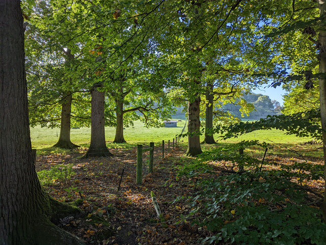
High Hurst Copse is a charming woodland located in Sussex, England. Spanning an area of approximately 60 hectares, it is known for its breathtaking natural beauty and diverse range of flora and fauna. The copse is situated in the South Downs National Park, which adds to its appeal and makes it a popular destination for nature enthusiasts and hikers.

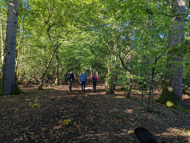
The woodland is predominantly composed of broadleaf trees, including oak, beech, and ash, creating a lush and vibrant canopy that provides habitat for a variety of wildlife. Bluebells carpet the forest floor during spring, creating a stunning display of color. The copse also boasts a variety of plant species such as wood anemones, wild garlic, and primroses.

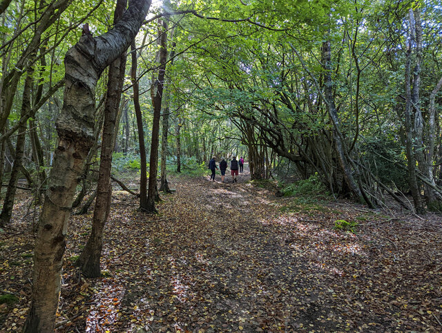
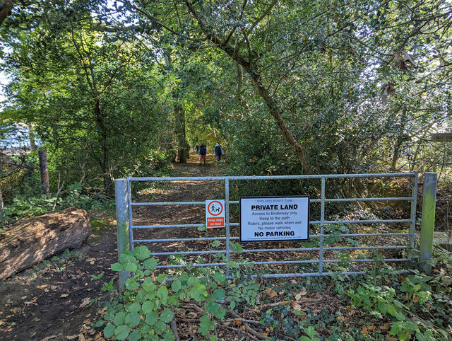
Several walking trails, varying in difficulty, wind through High Hurst Copse, allowing visitors to explore its beauty at their own pace. The trails meander through the woodland, offering glimpses of wildlife such as deer, badgers, and a multitude of bird species, including woodpeckers and tawny owls.

High Hurst Copse is also notable for its historical significance. It is believed to have been part of a medieval deer park and has remnants of ancient woodland dating back several centuries. The copse has been carefully managed to preserve its ecological value, with ongoing efforts to maintain and enhance its biodiversity.

Overall, High Hurst Copse is a captivating woodland that offers a peaceful retreat for nature lovers. Its stunning scenery, diverse wildlife, and historical significance make it a must-visit destination for those seeking a true connection with nature.

If you have any feedback on the listing, please let us know in the comments section below.

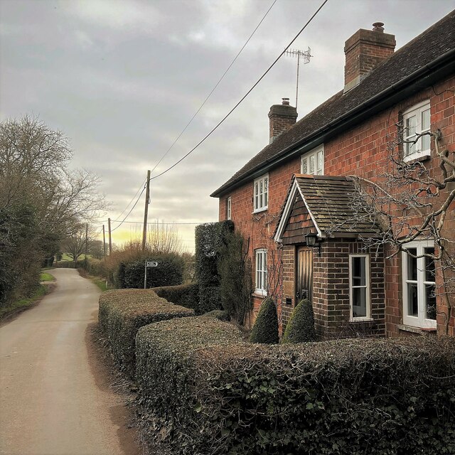
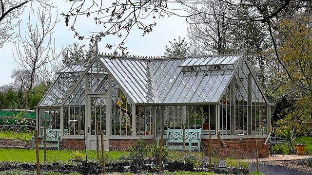
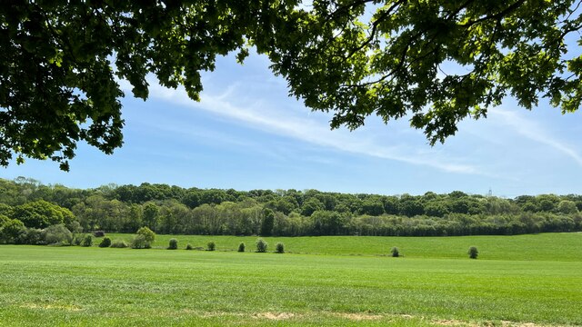
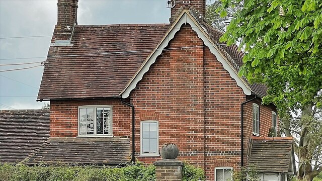
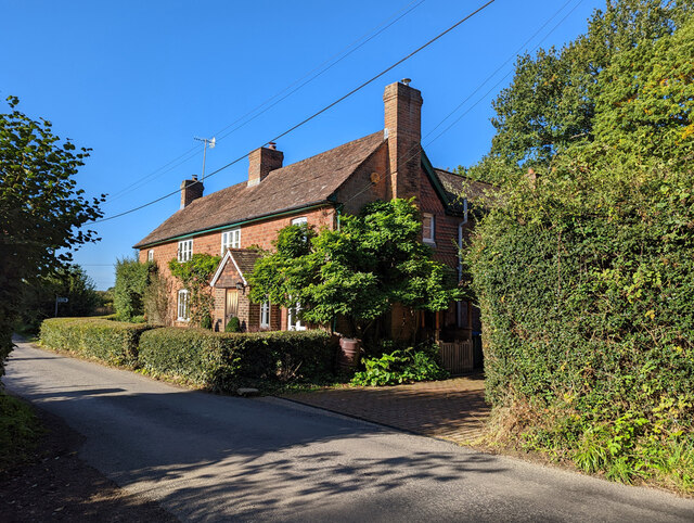
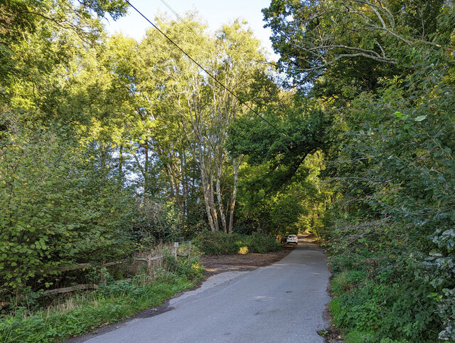
High Hurst Copse Images

Images are sourced within 2km of 51.008403/-0.28667285 or Grid Reference TQ2024. Thanks to Geograph Open Source API. All images are credited.

Cottage on Newells Lane The bridleway through Lodgesale Wood starts just beyond the cottage, on the right of the lane.
Cottage on Newells Lane
The bridleway through Lodgesale Wood starts just beyond the cottage, on the right of the lane.
Greenhouse near Pict's Farm
View south towards High Hurst Copse This photo was taken from the aptly named Park Lane - aptly because there are a lot of places to park along here, which is helpful from a walker's point of view.
View south towards High Hurst Copse
This photo was taken from the aptly named Park Lane - aptly because there are a lot of places to park along here, which is helpful from a walker's point of view.
Iron-rich stream and drain I think this stream is called Jobscastle Gill, according to the map. This is the third photo I've taken recently of an iron-rich stream in the Sussex Weald. The previous two, however, were in Ashdown Forest - further to the east. There was an iron industry in this region from Roman times until the early 18th century.
Iron-rich stream and drain
I think this stream is called Jobscastle Gill, according to the map. This is the third photo I've taken recently of an iron-rich stream in the Sussex Weald. The previous two, however, were in Ashdown Forest - further to the east. There was an iron industry in this region from Roman times until the early 18th century.
House on the A281 This is called "Rose Cottage" according to the large-scale map.
House on the A281
This is called "Rose Cottage" according to the large-scale map.
Path through bluebell wood - near Jobscastle Gill The bluebells have finished in some places - but they were still going strong here.
Path through bluebell wood - near Jobscastle Gill
The bluebells have finished in some places - but they were still going strong here.
House on Burnthouse Lane According to the large-scale map this is called "Little Burnt House".
House on Burnthouse Lane
According to the large-scale map this is called "Little Burnt House".
Hop Gardens, Newell's Lane
Newell's Lane North towards the A281, Brighton Road.
Newell's Lane
North towards the A281, Brighton Road.
Bridleway 1725, Lower Beeding From Newell's Lane towards Crabtree.
Bridleway 1725, Lower Beeding
From Newell's Lane towards Crabtree.
Woodland by bridleway 1725
Bridleway 1725 crosses Jobscastle Gill
Junction of footpath 1732 and bridleway 1726, Lower Beeding The footpath joins from the left, where the brown dog is.
Junction of footpath 1732 and bridleway 1726, Lower Beeding
The footpath joins from the left, where the brown dog is.
Jobscastle Gill Looking downstream.
Jobscastle Gill
Looking downstream.
Bridleway 1726, Lower Beeding
Fields north of Woldringfold
Start of bridleway 1726 on Burnthouse Lane
Show me another place!

High Hurst Copse is located at Grid Ref: TQ2024 (Lat: 51.008403, Lng: -0.28667285)

Administrative County: West Sussex

District: Horsham

Police Authority: Sussex

What 3 Words

///thundered.bluffs.mended. Near Cowfold, West Sussex

Related Wikis

Maplehurst, West Sussex

Maplehurst is a hamlet in the civil parish of Nuthurst, and the Horsham District of West Sussex, England. The hamlet is on the Copsale to Nuthurst road...

Nuthurst

Nuthurst is a village and civil parish in the Horsham district of West Sussex, England. The north of the parish borders Horsham town, with Nuthurst village...

Crabtree, West Sussex

Crabtree is a hamlet in the parish of Lower Beeding and in Horsham District of West Sussex, England. It lies on the A281 road 4.4 miles (7.1 km) southeast...

Leonardslee

Leonardslee is an English country house and English landscape garden and woodland garden in Lower Beeding, near Horsham, West Sussex, England. The Grade...

Cowfold

Cowfold is a village and civil parish between Billingshurst and Haywards Heath in the Horsham District of West Sussex, England. The village is at the intersection...

Southwater & Nuthurst (electoral division)

Southwater & Nuthurst is an electoral division of West Sussex in the United Kingdom and returns one member to sit on West Sussex County Council. The current...

West Grinstead railway station

West Grinstead was a railway station on the Steyning Line which served the village of West Grinstead. It had a goods yard with a cattle loading bay and...

Monk's Gate

Monk's Gate is a hamlet in the civil parish of Nuthurst, in the Horsham District of West Sussex, England. It lies on the A281 road 3 miles (5 km) southeast...

Nearby Amenities

Located within 500m of 51.008403,-0.28667285
Power: tower
Lat/Long: 51.0063525/-0.2927894
Power: tower
Lat/Long: 51.0055039/-0.2853444
Power: tower
Lat/Long: 51.0059613/-0.289036
Barrier: stile
Lat/Long: 51.0079371/-0.2802107
Barrier: stile
Lat/Long: 51.008628/-0.2799028
Power: pole
Lat/Long: 51.0080955/-0.2797297
Power: pole
Lat/Long: 51.0078183/-0.2802652
Power: pole
Lat/Long: 51.0074693/-0.2805125
Power: pole
Lat/Long: 51.0067781/-0.2810338
Power: pole
Lat/Long: 51.0060901/-0.2815261
Power: pole
Lat/Long: 51.0054074/-0.2820198
Power: pole
Lat/Long: 51.0124806/-0.2895314
Power: pole
Lat/Long: 51.0115817/-0.2913268
The data included in this document is from www.openstreetmap.org. The data is made available under ODbL.

Have you been to High Hurst Copse?

Leave your review of High Hurst Copse below (or comments, questions and feedback).