Alder Copse

Wood, Forest in Surrey Mole Valley

England

Alder Copse

Old Milestone, A24, The Street, by No. 17 Westminster Cottage The milestone is located on the South East side of the road, in the pavement back to the fence. Parish of Capel (Mole Valley District). Metal plate attached to stone post, Dorking plate design, erected by Horsham & Dorking turnpike trust in the 19th century.

Inscription reads:-   29 / FROM / WESTR / BRIDGE

Grade II listed by Historic England, List Entry Number: 1378129   <span class="nowrap"><a title="https://historicengland.org.uk/listing/the-list/list-entry/1378129" rel="nofollow ugc noopener" href="https://historicengland.org.uk/listing/the-list/list-entry/1378129">Link</a><img style="margin-left:2px;" alt="External link" title="External link - shift click to open in new window" src="https://s1.geograph.org.uk/img/external.png" width="10" height="10"/></span>

Milestone Society National ID: SY_LA29
Old Milestone, A24, The Street, by No. 17 Westminster Cottage Credit: Lionel Joseph

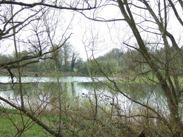
Alder Copse is a picturesque woodland located in the county of Surrey, England. Situated near the village of Alderbrook, it covers an area of approximately 100 acres, making it a significant natural feature in the region. The copse is primarily composed of alder trees, which lend their name to the area, but it also comprises a diverse range of other tree species, including oak, birch, and beech.

The woodland is known for its tranquil and enchanting atmosphere, attracting nature enthusiasts, hikers, and birdwatchers alike. Its well-maintained footpaths and trails make it easily accessible for visitors to explore and enjoy the natural beauty it offers. Throughout the year, the copse undergoes a mesmerizing transformation, with vibrant colors in the autumn and a lush green canopy in the summer.

Wildlife thrives in Alder Copse, providing a haven for various species. Numerous bird species, including woodpeckers, thrushes, and owls, can be spotted here, making it a birdwatcher's paradise. Small mammals like squirrels, rabbits, and foxes also call this woodland home.

Alder Copse offers visitors the opportunity to immerse themselves in nature, providing an escape from the hustle and bustle of everyday life. It is a popular spot for picnics, photography, and quiet contemplation. The copse is managed by the local council, ensuring its preservation and maintenance for future generations to enjoy. Overall, Alder Copse is a treasured natural gem in Surrey, providing a serene and captivating experience for all who venture into its leafy embrace.

If you have any feedback on the listing, please let us know in the comments section below.
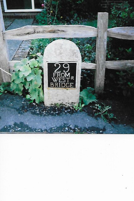
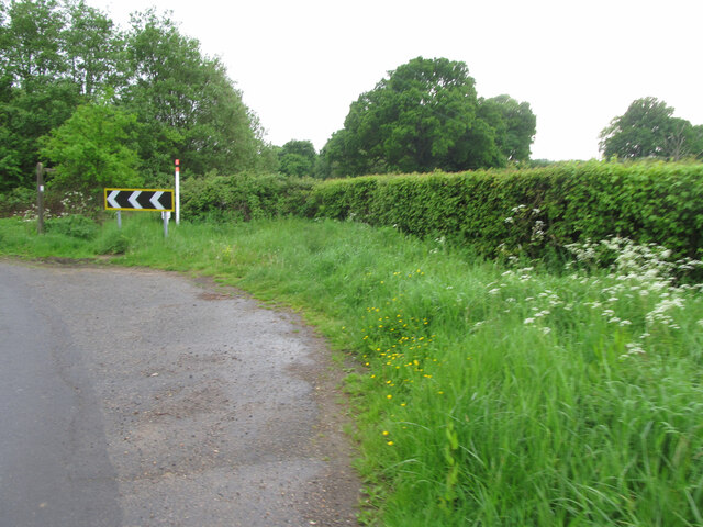
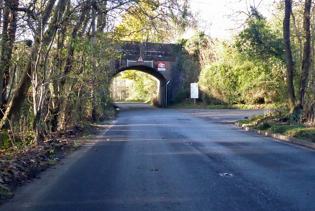
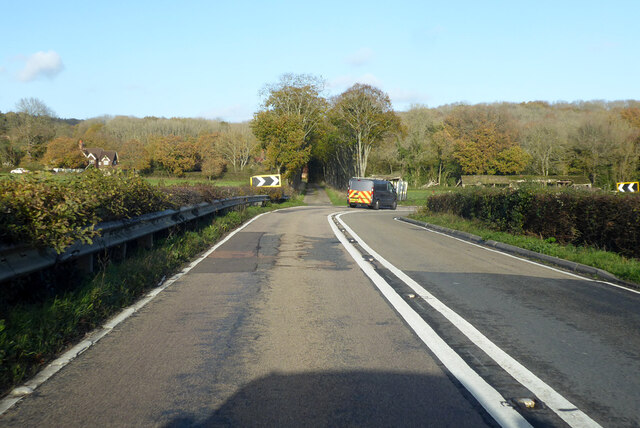
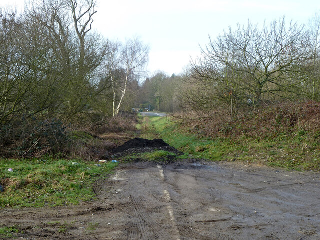
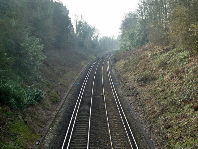
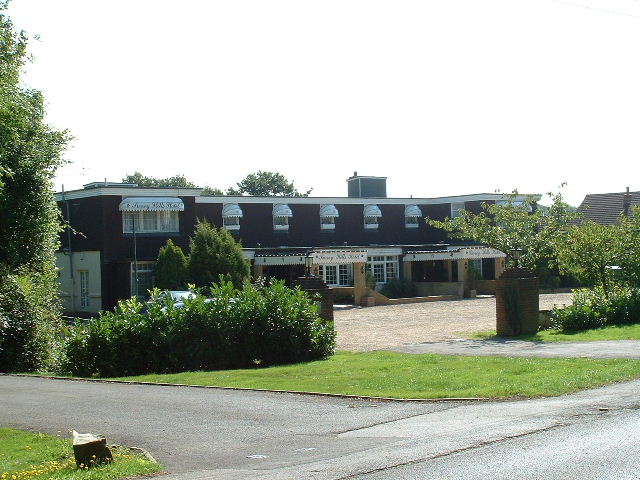
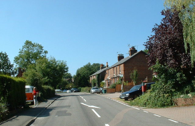
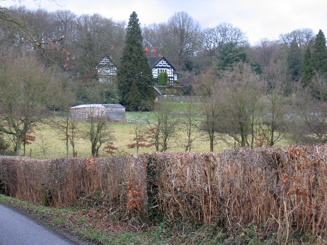
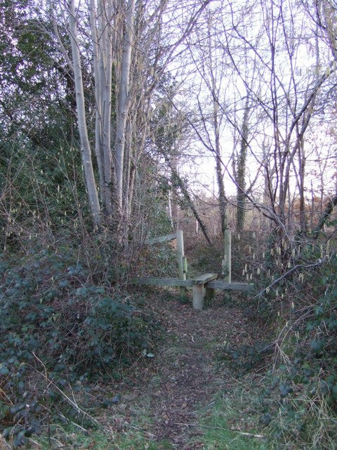
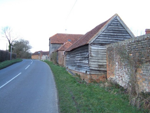
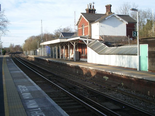
Alder Copse Images

Images are sourced within 2km of 51.163493/-0.33129184 or Grid Reference TQ1641. Thanks to Geograph Open Source API. All images are credited.

Old Milestone, A24, The Street, by No. 17 Westminster Cottage The milestone is located on the South East side of the road, in the pavement back to the fence. Parish of Capel (Mole Valley District). Metal plate attached to stone post, Dorking plate design, erected by Horsham & Dorking turnpike trust in the 19th century.

Inscription reads:-   29 / FROM / WESTR / BRIDGE

Grade II listed by Historic England, List Entry Number: 1378129   <span class="nowrap"><a title="https://historicengland.org.uk/listing/the-list/list-entry/1378129" rel="nofollow ugc noopener" href="https://historicengland.org.uk/listing/the-list/list-entry/1378129">Link</a><img style="margin-left:2px;" alt="External link" title="External link - shift click to open in new window" src="https://s1.geograph.org.uk/img/external.png" width="10" height="10"/></span>

Milestone Society National ID: SY_LA29
Old Milestone, A24, The Street, by No. 17 Westminster Cottage
The milestone is located on the South East side of the road, in the pavement back to the fence. Parish of Capel (Mole Valley District). Metal plate attached to stone post, Dorking plate design, erected by Horsham & Dorking turnpike trust in the 19th century. Inscription reads:- 29 / FROM / WESTR / BRIDGE Grade II listed by Historic England, List Entry Number: 1378129 LinkExternal link Milestone Society National ID: SY_LA29
Oil pipeline markers at a corner of Misbrooks Green Road The 10 inch Esso oil pipeline (presumed to be that from Fawley to Purfleet) is marked by a prominent post with a fluorescent cap and an older style short concrete post. A right of way marker on the left points to a public footpath running along the North side of Misbrooks Common.
Oil pipeline markers at a corner of Misbrooks Green Road
The 10 inch Esso oil pipeline (presumed to be that from Fawley to Purfleet) is marked by a prominent post with a fluorescent cap and an older style short concrete post. A right of way marker on the left points to a public footpath running along the North side of Misbrooks Common.
Railway bridge by Ockley station The station approach is on the right.
Railway bridge by Ockley station
The station approach is on the right.
The A29 turns away from the Roman line The Roman Stane Street continues at first as a private drive and public footpath. Only fragments of the onwards route over hilly terrain are now public rights-of-way until rejoined by the A29 which takes a longer but easier way round.
The A29 turns away from the Roman line
The Roman Stane Street continues at first as a private drive and public footpath. Only fragments of the onwards route over hilly terrain are now public rights-of-way until rejoined by the A29 which takes a longer but easier way round.
Original alignment of A29 Ockley Road This dates from before the A24 roundabout and Capel bypass were built. It seems to have been retained as a path, as the pavement is missing on the deviation route.
Original alignment of A29 Ockley Road
This dates from before the A24 roundabout and Capel bypass were built. It seems to have been retained as a path, as the pavement is missing on the deviation route.
Horsham - Dorking line at A29 bridge Towards Horsham.
Horsham - Dorking line at A29 bridge
Towards Horsham.
Surrey Hills Hotel Near Beare Green south of the A24/A29 junction
Surrey Hills Hotel
Near Beare Green south of the A24/A29 junction
North side of Capel Entry to village from the North
North side of Capel
Entry to village from the North
Capel Church St John the Baptist - near the village centre
Capel Church
St John the Baptist - near the village centre
Junction of Broomehall Road (left) with Burywood Hill (Stane Street) looking NNE
Junction of Broomehall Road (left) with Burywood Hill (Stane Street)
looking NNE
Beare Green Road, at Park Lodge looking south-west
Beare Green Road, at Park Lodge
looking south-west
Junction of Henhurst Cross Road (foreground) with Beare Green Road (ahead/right) looking south
Junction of Henhurst Cross Road (foreground) with Beare Green Road (ahead/right)
looking south
Minnickfold from the road to the south A glorious mock? Elizabethan House with wonderful views
Minnickfold from the road to the south
A glorious mock? Elizabethan House with wonderful views
Footpath at Trig Street
Mizbrook Farm
Mizbrook Farm
Ockley station looking north
Ockley station
looking north
Broome Hall
Broome Hall
Lake at Broome Hall
Lake at Broome Hall
Show me another place!

Alder Copse is located at Grid Ref: TQ1641 (Lat: 51.163493, Lng: -0.33129184)

Administrative County: Surrey

District: Mole Valley

Police Authority: Surrey

What 3 Words

///hope.bells.spice. Near Capel, Surrey

Related Wikis

Capel, Surrey

Capel () is a village and civil parish in southern Surrey, England. It is equidistant between Dorking and Horsham – about 5 miles (8.0 km) away. Around...

Ockley railway station

Ockley railway station serves the villages of Ockley and Capel in Surrey, England and is 1.4 miles (2.3 km) from Ockley village and 0.5 miles (0.80 km...

Broome Hall

Broome Hall is a Grade II-listed country house with grounds including cottages and outhouses on the wooded, upper southern slopes of the Greensand Ridge...

Holmwood railway station

Holmwood railway station serves the villages of Beare Green and South Holmwood in Surrey, England, on the Sutton and Mole Valley Lines between Dorking...

Nearby Amenities

Located within 500m of 51.163493,-0.33129184
Source: Landsat photo
Lat/Long: 51.162365/-0.3313845
Source: Landsat photo
Lat/Long: 51.1642149/-0.3301867
Source: Landsat photo
Lat/Long: 51.1665826/-0.3289947
Barrier: stile
Lat/Long: 51.1637625/-0.3258323
Barrier: stile
Lat/Long: 51.160015/-0.3325299
Barrier: stile
Lat/Long: 51.1642891/-0.3279476
Crossing
Crossing: unmarked
Crossing Markings: no
Kerb: no
Lat/Long: 51.1599753/-0.332195
Crossing
Crossing: unmarked
Crossing Markings: no
Kerb: no
Lat/Long: 51.1599909/-0.3323615
Fixme: Noted but not walked
Lat/Long: 51.1618341/-0.3328179
Barrier: stile
Lat/Long: 51.15996/-0.332016
Barrier: stile
Foot: yes
Lat/Long: 51.1609752/-0.3258519
Barrier: stile
Lat/Long: 51.1613738/-0.3288713
Barrier: stile
Note: Oftern gets baddly overgrown
Lat/Long: 51.162288/-0.3305707
Crossing
Crossing: unmarked
Crossing Markings: no
Kerb: no
Lat/Long: 51.162307/-0.3307332
Barrier: stile
Lat/Long: 51.161077/-0.3318641
Crossing
Crossing: unmarked
Crossing Markings: no
Kerb: no
Lat/Long: 51.162333/-0.3309023
Park Farm
Place: farm
Lat/Long: 51.1633621/-0.3367169
Animal Boarding
Lat/Long: 51.1669246/-0.3349747
Rugge Farm
Place: farm
Lat/Long: 51.1651476/-0.3252681
Power: pole
Lat/Long: 51.1643368/-0.3380027
Barrier: stile
Lat/Long: 51.1650437/-0.3259986
The data included in this document is from www.openstreetmap.org. The data is made available under ODbL.

Have you been to Alder Copse?

Leave your review of Alder Copse below (or comments, questions and feedback).