Park Copse
Wood, Forest in Surrey Mole Valley
England
Park Copse
Park Copse is a picturesque woodland located in Surrey, England. Stretching over an area of approximately 50 acres, this enchanting forest is renowned for its natural beauty and tranquility. It is situated in close proximity to the town of Guildford, making it easily accessible to both locals and visitors.
The woodland itself is predominantly made up of a mix of deciduous and evergreen trees, creating a diverse and vibrant ecosystem. Towering oaks, majestic beeches, and graceful birches are just some of the tree species that can be found in Park Copse. The forest floor is adorned with a rich carpet of mosses, ferns, and wildflowers, adding to its charm.
Park Copse is a haven for a variety of wildlife, making it a popular destination for nature enthusiasts. The forest is home to a multitude of bird species, including woodpeckers, owls, and songbirds, which can be heard chirping melodiously throughout the day. Squirrels, rabbits, and deer are often spotted darting amongst the trees, adding a sense of liveliness to the woodland.
The forest offers a network of well-maintained walking trails, allowing visitors to explore its hidden treasures. These trails wind through the forest, offering glimpses of tranquil ponds, babbling brooks, and stunning vistas. It is a perfect place for a leisurely stroll, a family picnic, or even a peaceful retreat from the bustling city life.
Overall, Park Copse in Surrey is a captivating woodland that showcases the natural beauty and biodiversity of the region. Its serene atmosphere and stunning landscapes make it a must-visit destination for nature lovers and those seeking solace in the embrace of nature.
If you have any feedback on the listing, please let us know in the comments section below.
Park Copse Images
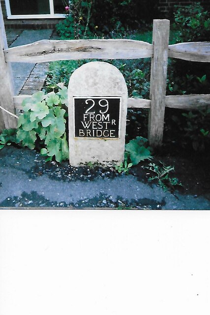
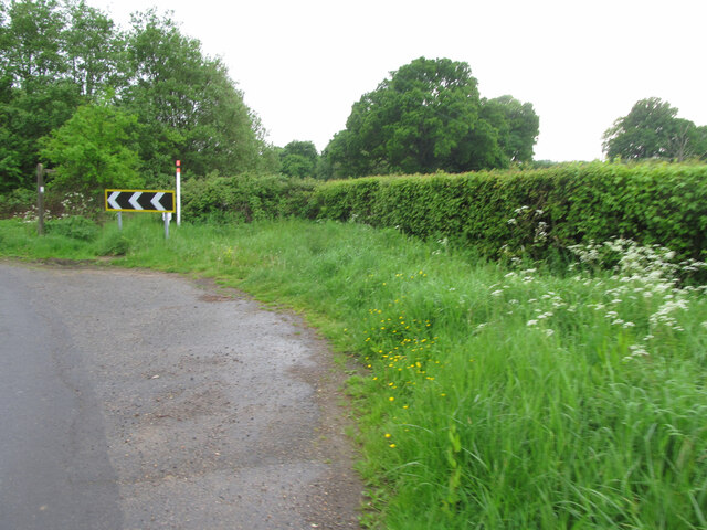
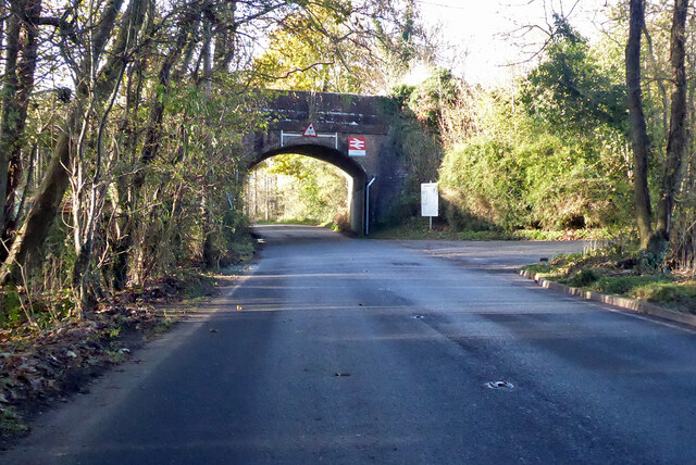
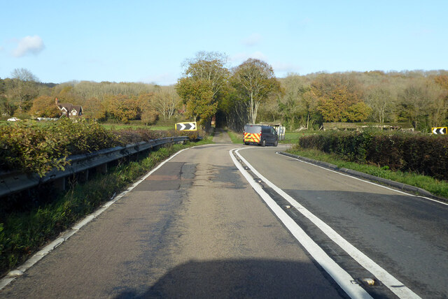
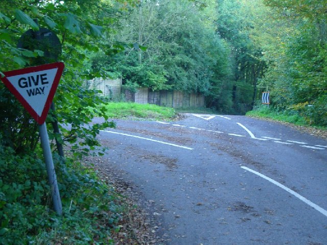
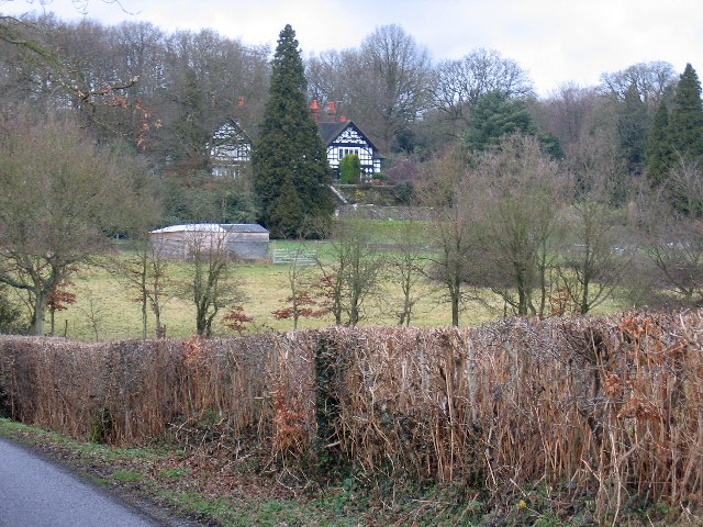
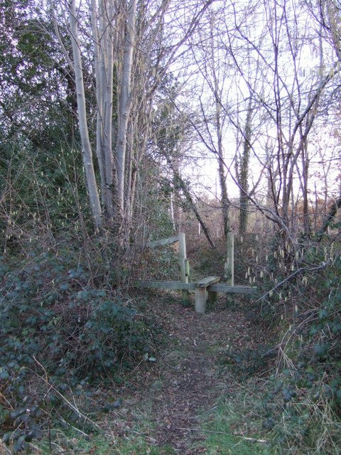
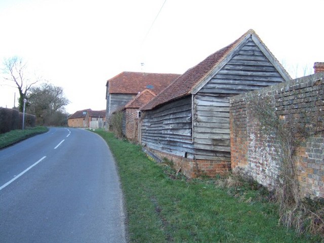
Images are sourced within 2km of 51.165361/-0.33359874 or Grid Reference TQ1641. Thanks to Geograph Open Source API. All images are credited.


Park Copse is located at Grid Ref: TQ1641 (Lat: 51.165361, Lng: -0.33359874)
Administrative County: Surrey
District: Mole Valley
Police Authority: Surrey
What 3 Words
///skis.suffice.harmlessly. Near Holmwood, Surrey
Nearby Locations
Related Wikis

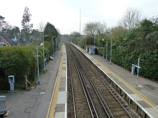
Ockley railway station
Ockley railway station serves the villages of Ockley and Capel in Surrey, England and is 1.4 miles (2.3 km) from Ockley village and 0.5 miles (0.80 km...

Capel, Surrey
Capel () is a village and civil parish in southern Surrey, England. It is equidistant between Dorking and Horsham – about 5 miles (8.0 km) away. Around...

Broome Hall
Broome Hall is a Grade II-listed country house with grounds including cottages and outhouses on the wooded, upper southern slopes of the Greensand Ridge...

Holmwood railway station
Holmwood railway station serves the villages of Beare Green and South Holmwood in Surrey, England, on the Sutton and Mole Valley Lines between Dorking...
Nearby Amenities
Located within 500m of 51.165361,-0.33359874Have you been to Park Copse?
Leave your review of Park Copse below (or comments, questions and feedback).