Round Wood
Wood, Forest in Surrey Mole Valley
England
Round Wood
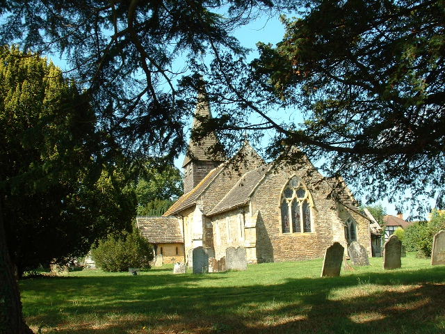
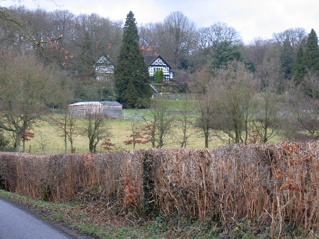
Round Wood is a small village located in the county of Surrey, England. Situated within the district of Mole Valley, it is part of the larger community of the Surrey Hills Area of Outstanding Natural Beauty. The village is nestled amidst lush greenery and dense forests, offering residents and visitors a scenic and tranquil environment.
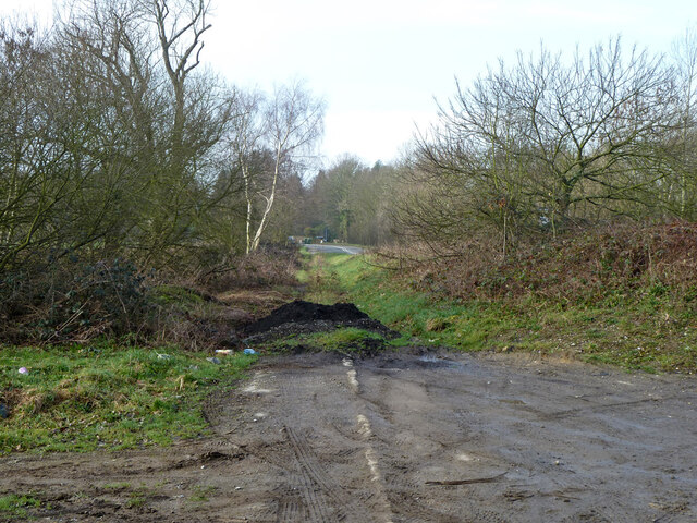
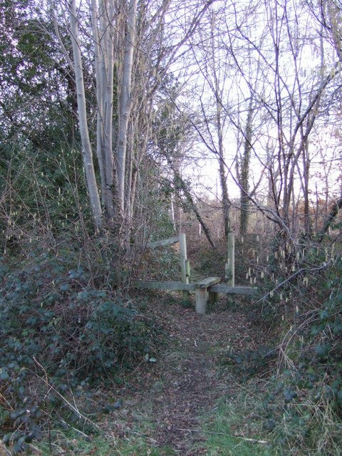
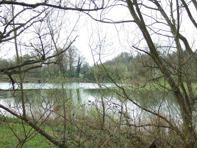
The area is renowned for its abundant woodlands, which provide ample opportunities for outdoor activities such as hiking, cycling, and nature walks. The forest surrounding Round Wood is home to a diverse range of flora and fauna, making it a popular destination for wildlife enthusiasts and nature lovers.
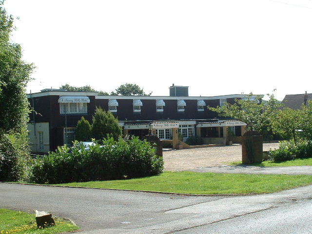
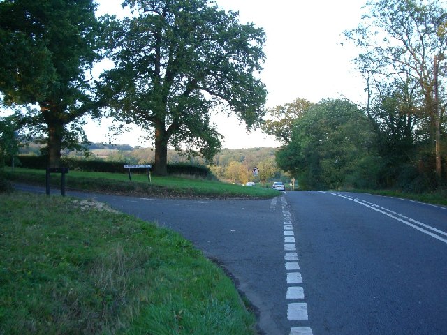
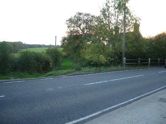
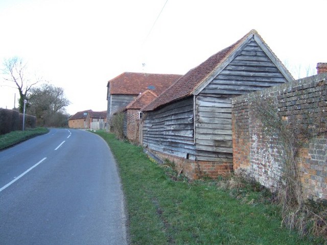
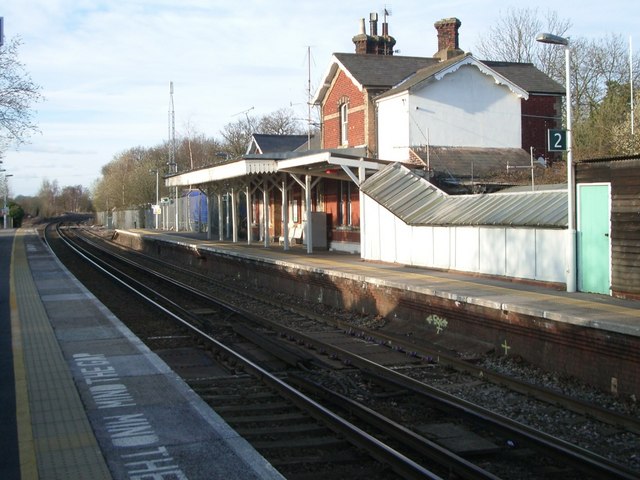
Despite its rural setting, Round Wood is conveniently close to several amenities and facilities. The nearby town of Dorking, located just a short distance away, offers a range of shops, restaurants, and cafes, catering to the needs of the local community. Additionally, the village benefits from excellent transport links, with easy access to major roads and train stations, making it an ideal location for commuters.
Round Wood has a close-knit community, with a village hall that serves as a hub for social gatherings and events. The residents take pride in their village, and various community initiatives and organizations contribute to maintaining the village's charm and character.
In summary, Round Wood in Surrey is a picturesque village surrounded by stunning woodlands and forests. It offers a peaceful and idyllic setting, making it an attractive place to live for those seeking a rural lifestyle with easy access to amenities.
If you have any feedback on the listing, please let us know in the comments section below.
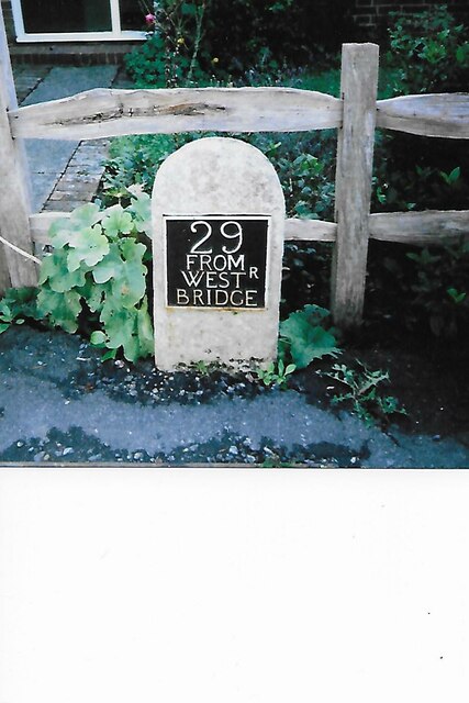
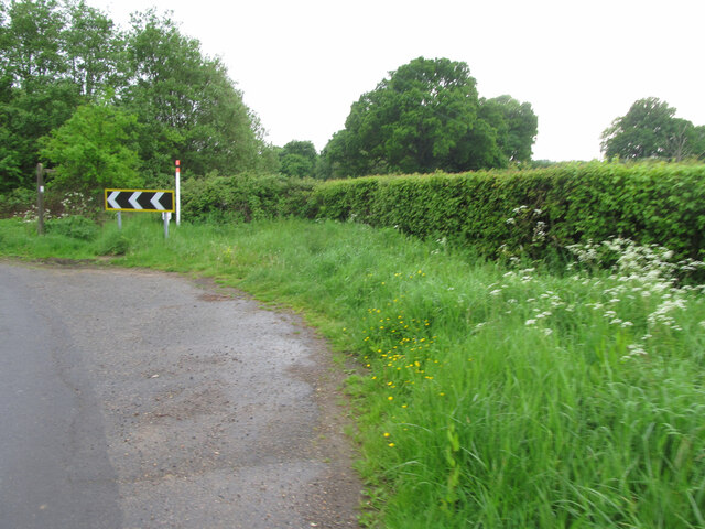
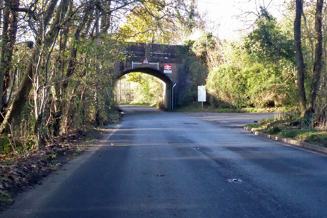
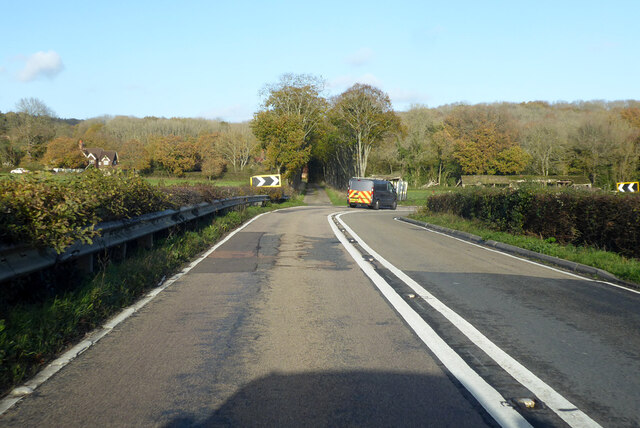
Round Wood Images
Images are sourced within 2km of 51.161262/-0.32868364 or Grid Reference TQ1641. Thanks to Geograph Open Source API. All images are credited.

Round Wood is located at Grid Ref: TQ1641 (Lat: 51.161262, Lng: -0.32868364)
Administrative County: Surrey
District: Mole Valley
Police Authority: Surrey
What 3 Words
///newest.shower.lanes. Near Capel, Surrey
Nearby Locations
Related Wikis

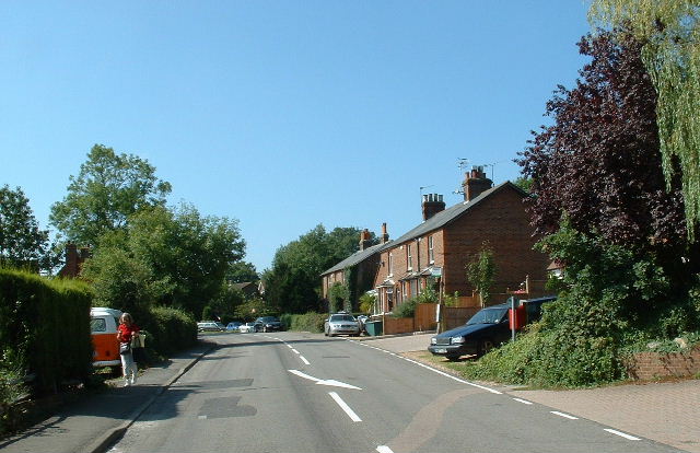
Capel, Surrey
Capel () is a village and civil parish in southern Surrey, England. It is equidistant between Dorking and Horsham – about 5 miles (8.0 km) away. Around...

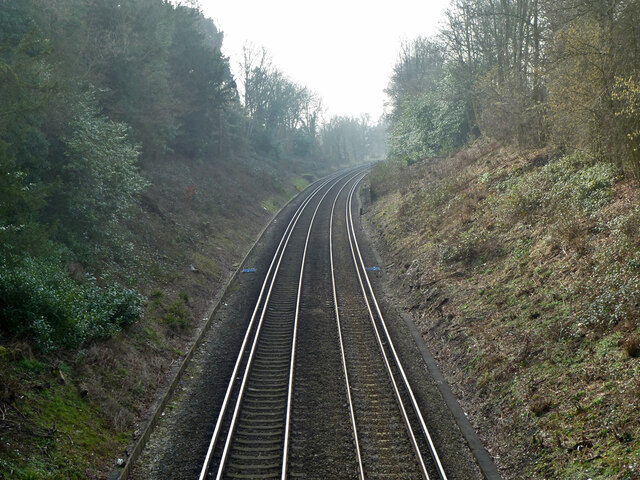
Ockley railway station
Ockley railway station serves the villages of Ockley and Capel in Surrey, England and is 1.4 miles (2.3 km) from Ockley village and 0.5 miles (0.80 km...

Broome Hall
Broome Hall is a Grade II-listed country house with grounds including cottages and outhouses on the wooded, upper southern slopes of the Greensand Ridge...

Holmwood railway station
Holmwood railway station serves the villages of Beare Green and South Holmwood in Surrey, England, on the Sutton and Mole Valley Lines between Dorking...
Nearby Amenities
Located within 500m of 51.161262,-0.32868364Have you been to Round Wood?
Leave your review of Round Wood below (or comments, questions and feedback).