Knowlfield Copse
Wood, Forest in Surrey Mole Valley
England
Knowlfield Copse
Knowlfield Copse is a picturesque wood located in the county of Surrey, England. Situated just outside the village of Knowlfield, the copse covers an area of approximately 50 acres and is characterized by its dense woodland and diverse flora and fauna.
The copse is predominantly made up of broadleaf trees, including oak, beech, and birch, which create a beautiful canopy overhead. These trees provide a habitat for a wide range of wildlife, such as deer, foxes, and various species of birds. The copse is also home to several rare and protected species, including the lesser spotted woodpecker and the dormouse.
Walking through Knowlfield Copse, visitors are greeted by a tranquil and serene environment. The forest floor is covered in a rich carpet of moss and ferns, creating a lush and green undergrowth. The air is filled with the sweet scent of wildflowers and the gentle rustling of leaves.
Several walking trails wind their way through the copse, allowing visitors to explore its beauty at their own pace. These paths are well-maintained and offer breathtaking views of the surrounding countryside. There are also picnic areas and benches dotted throughout the copse, providing visitors with the perfect opportunity to relax and enjoy the peaceful surroundings.
Knowlfield Copse is a popular destination for nature lovers, photographers, and families seeking a peaceful retreat. Its natural beauty and diverse wildlife make it a haven for those looking to escape the hustle and bustle of everyday life and immerse themselves in the tranquility of nature.
If you have any feedback on the listing, please let us know in the comments section below.
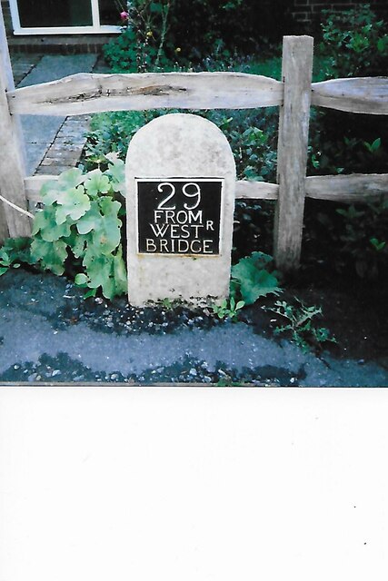
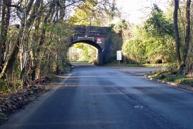
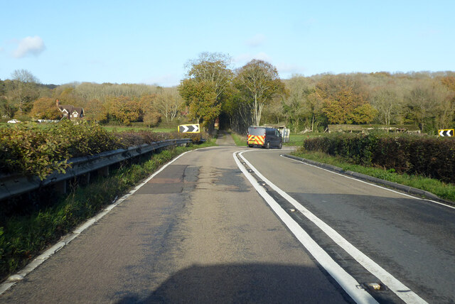
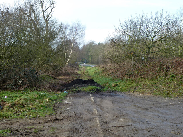
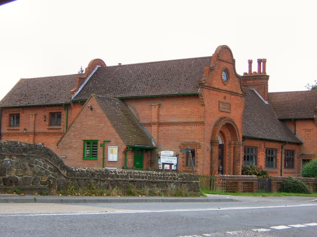
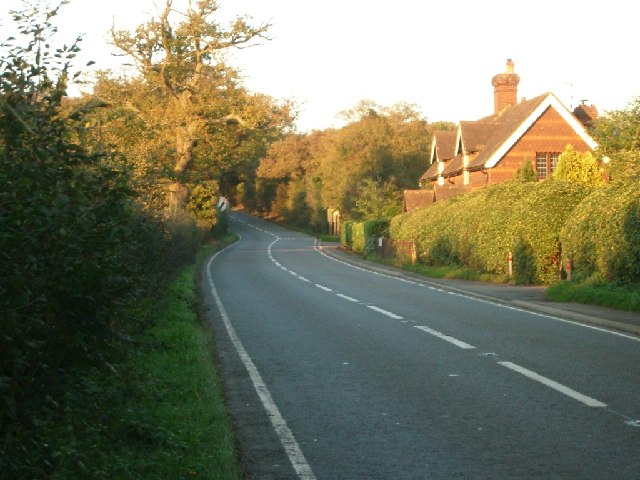
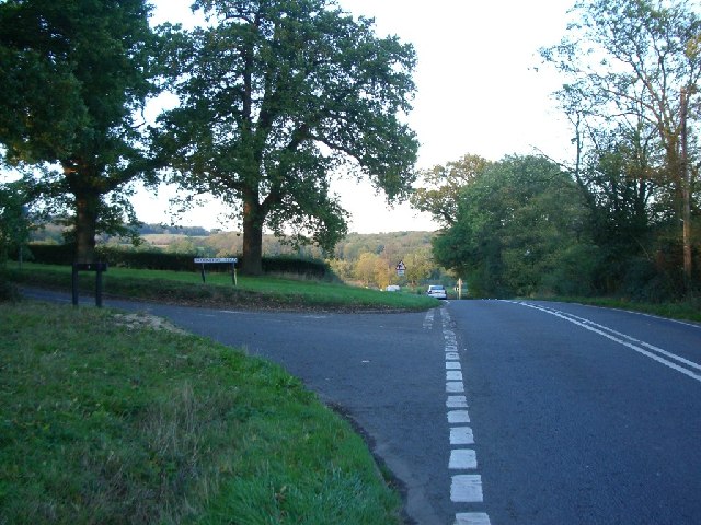
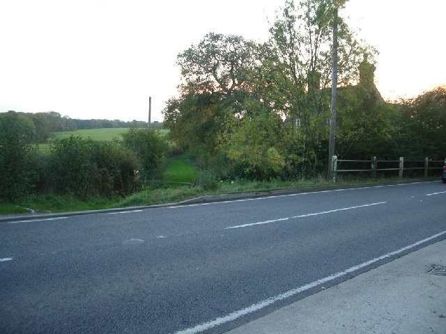
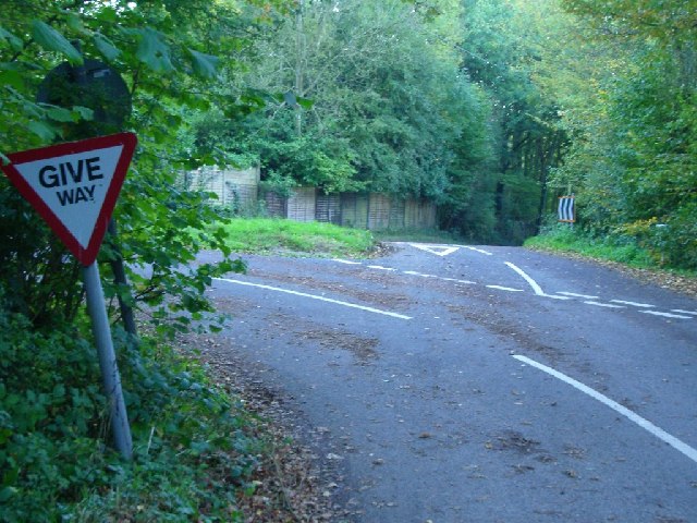
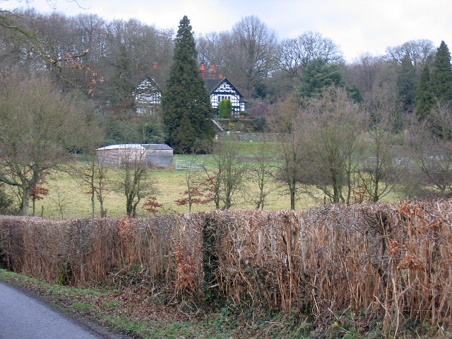
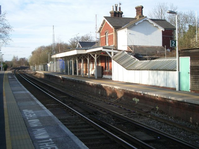
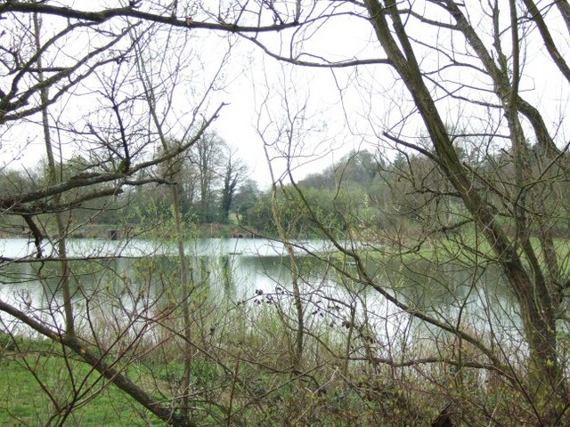
Knowlfield Copse Images
Images are sourced within 2km of 51.163873/-0.33965939 or Grid Reference TQ1641. Thanks to Geograph Open Source API. All images are credited.


Knowlfield Copse is located at Grid Ref: TQ1641 (Lat: 51.163873, Lng: -0.33965939)
Administrative County: Surrey
District: Mole Valley
Police Authority: Surrey
What 3 Words
///heartless.sway.glides. Near Capel, Surrey
Nearby Locations
Related Wikis

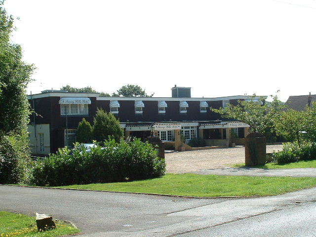
Broome Hall
Broome Hall is a Grade II-listed country house with grounds including cottages and outhouses on the wooded, upper southern slopes of the Greensand Ridge...

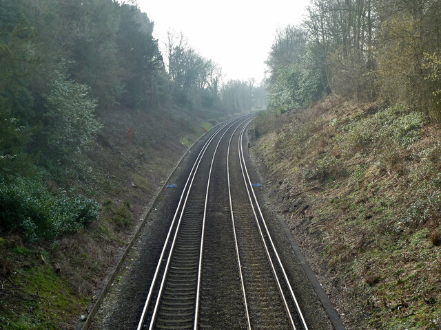
Ockley railway station
Ockley railway station serves the villages of Ockley and Capel in Surrey, England and is 1.4 miles (2.3 km) from Ockley village and 0.5 miles (0.80 km...

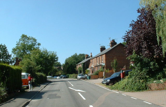
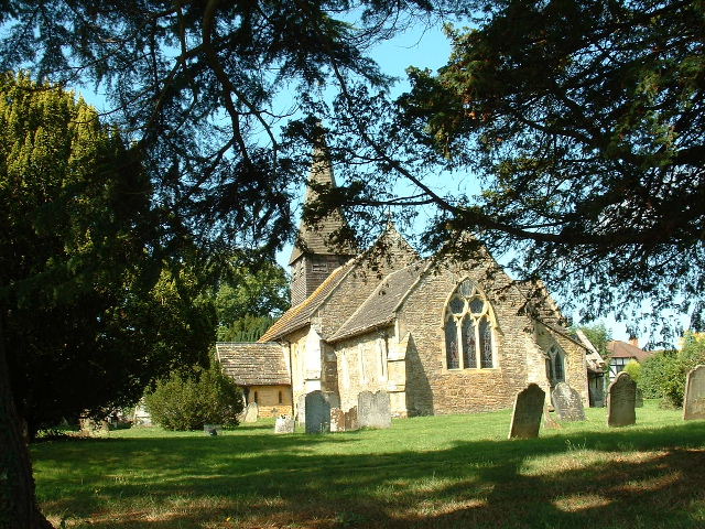
Capel, Surrey
Capel () is a village and civil parish in southern Surrey, England. It is equidistant between Dorking and Horsham – about 5 miles (8.0 km) away. Around...

Greensand Ridge
The Greensand Ridge, also known as the Wealden Greensand, is an extensive, prominent, often wooded, mixed greensand/sandstone escarpment in south-east...

Holmwood railway station
Holmwood railway station serves the villages of Beare Green and South Holmwood in Surrey, England, on the Sutton and Mole Valley Lines between Dorking...

Ockley
Ockley is a rural village in Surrey. It lies astride the A29, the modern road using the alignment of Stane Street (Chichester). The A29 diverges from the...

Leith Hill
Leith Hill in southern England is the highest summit of the Greensand Ridge, approximately 6.7 km (4 mi) southwest of Dorking, Surrey and 40.5 km (30 mi...

Leith Hill multiple aircraft accident
On 26 November 1944, four C-47 transport aircraft of the 442nd Operations Group departed from Advanced Landing Ground "A-4 in Pays de la Loire, northern...
Nearby Amenities
Located within 500m of 51.163873,-0.33965939Have you been to Knowlfield Copse?
Leave your review of Knowlfield Copse below (or comments, questions and feedback).