Bentsley Spinney

Wood, Forest in Hertfordshire St. Albans

England

Bentsley Spinney

The Green Man, Sandridge
The Green Man, Sandridge Credit: David Howard

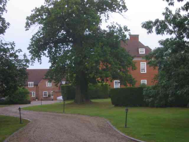
Bentsley Spinney is a beautiful woodland area located in Hertfordshire, England. Situated near the town of Wood, this forested landscape offers a serene and picturesque environment for visitors to explore.

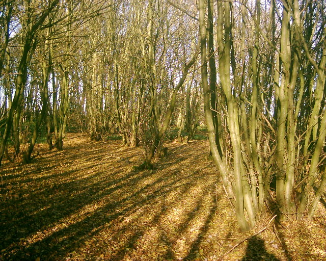
Covering an area of approximately 200 acres, Bentsley Spinney is predominantly composed of native broadleaf trees such as oak, beech, and ash. These majestic trees provide a dense canopy that creates a tranquil atmosphere and offers a haven for a variety of wildlife.

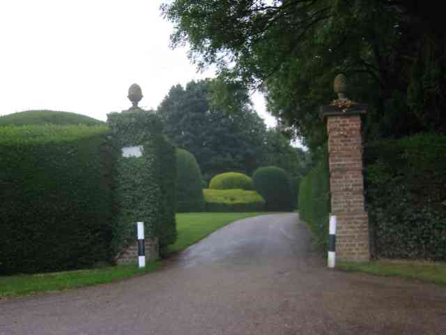
The forest is crisscrossed with a network of well-maintained footpaths and trails, making it an ideal destination for walkers, hikers, and nature enthusiasts. As visitors venture deeper into the woods, they may encounter a diverse range of plant species, including bluebells, primrose, and foxgloves, which carpet the forest floor during the spring months.

Bentsley Spinney is also home to a rich array of wildlife. Birdwatchers can spot a variety of species, including woodpeckers, nuthatches, and thrushes, while lucky observers may catch glimpses of foxes, deer, and squirrels. The forest provides an important habitat for these creatures, offering shelter, food, and nesting sites.

In addition to its natural beauty, Bentsley Spinney also holds historical significance. The woodland has been a part of the Hertfordshire landscape for centuries, and remnants of ancient earthworks and boundaries can still be found within its boundaries.

Overall, Bentsley Spinney in Hertfordshire is a captivating woodland retreat that offers a peaceful escape from the hustle and bustle of daily life. Its lush greenery, diverse wildlife, and rich history make it an ideal destination for nature lovers and those seeking a tranquil respite in the heart of the English countryside.

If you have any feedback on the listing, please let us know in the comments section below.

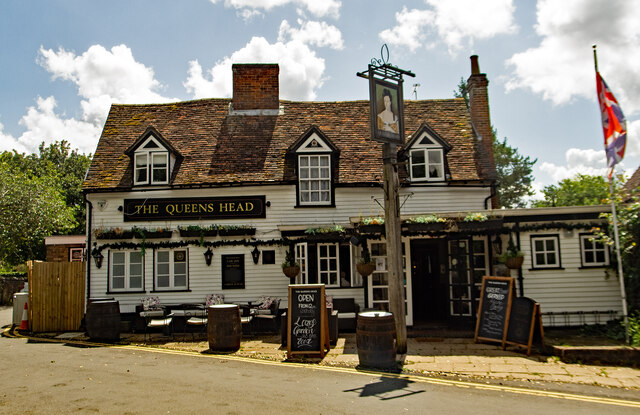
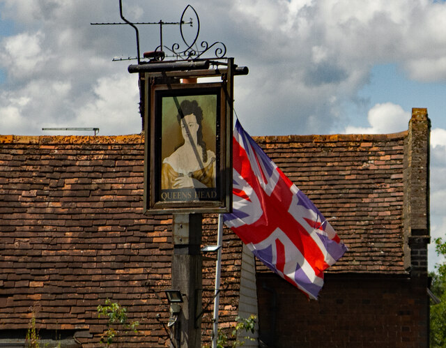
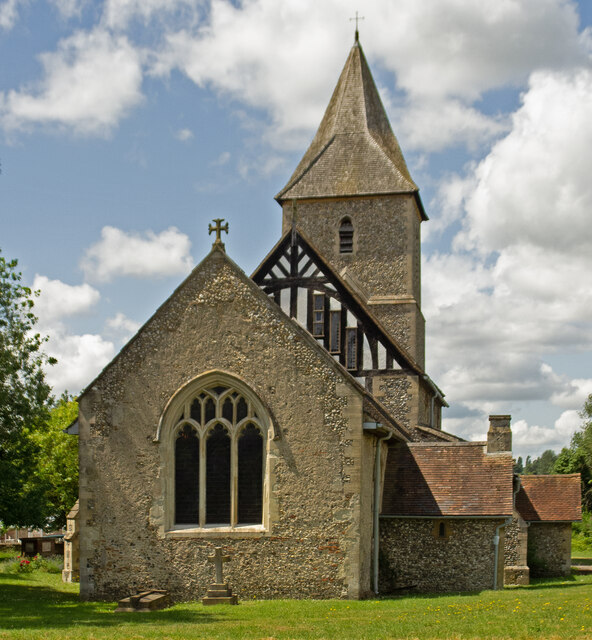
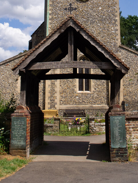
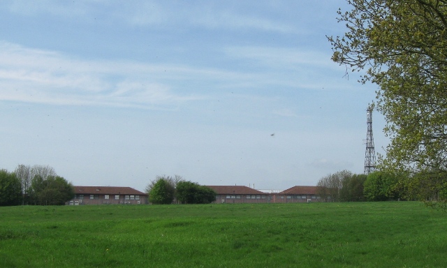
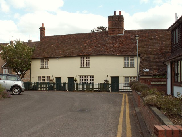
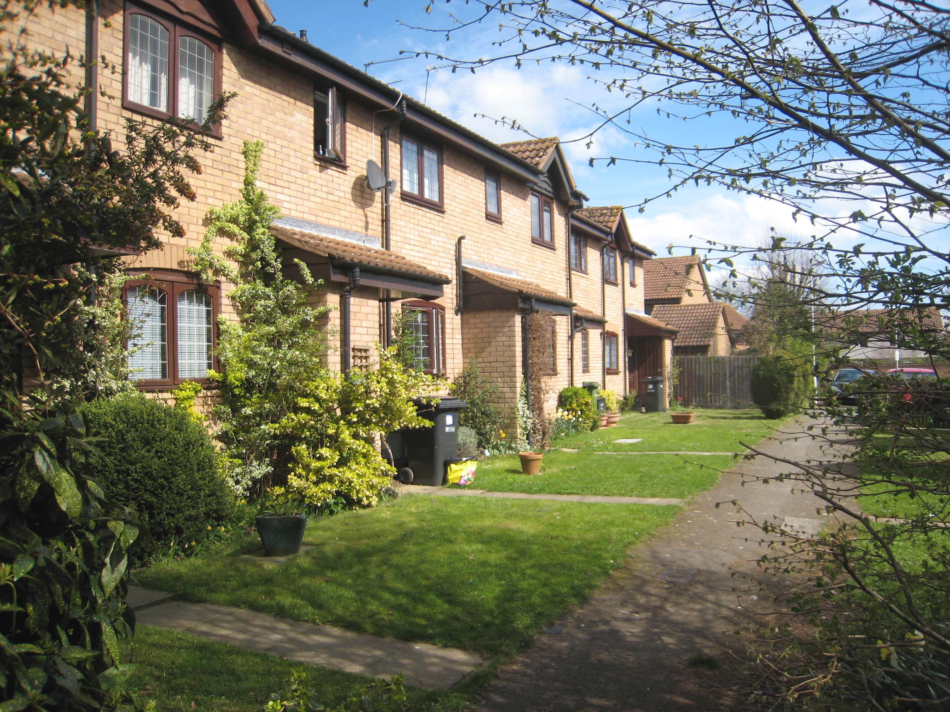
Bentsley Spinney Images

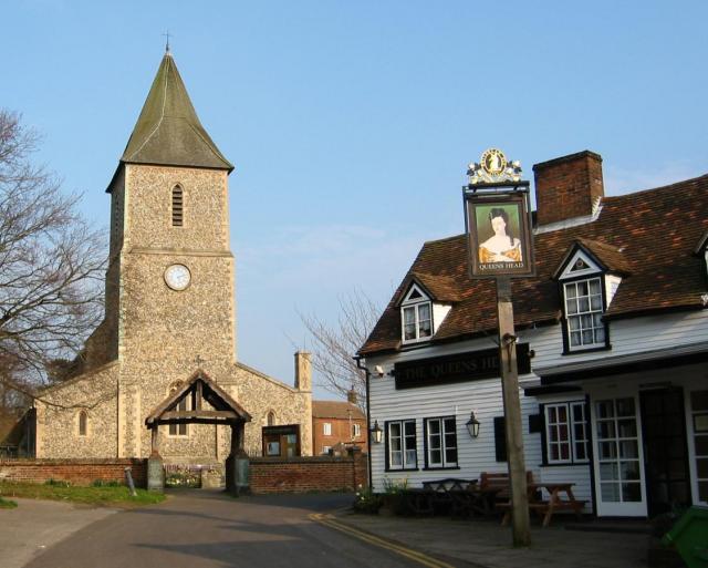
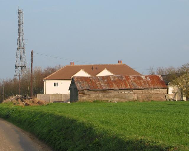
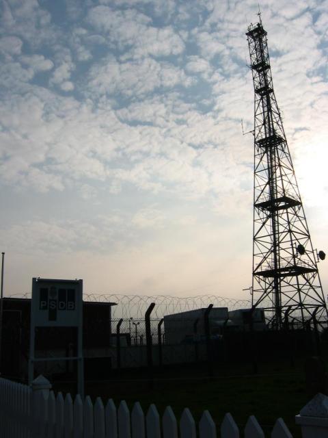
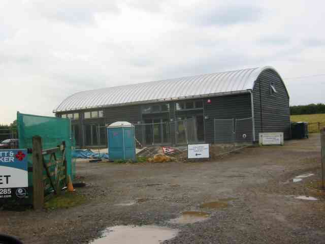
Images are sourced within 2km of 51.769066/-0.30611147 or Grid Reference TL1609. Thanks to Geograph Open Source API. All images are credited.

The Green Man, Sandridge
High Street, Sandridge
Sandridge : "Green Man" public house
Sandridge : village shop Grade II listed - <span class="nowrap"><a title="https://historicengland.org.uk/listing/the-list/list-entry/1308275?section=official-list-entry" rel="nofollow ugc noopener" href="https://historicengland.org.uk/listing/the-list/list-entry/1308275?section=official-list-entry">Link</a><img style="margin-left:2px;" alt="External link" title="External link - shift click to open in new window" src="https://s1.geograph.org.uk/img/external.png" width="10" height="10"/></span>.
Sandridge : village shop
Grade II listed - LinkExternal link.
Sandridge : "Queens Head" public house Grade II listed - <span class="nowrap"><a title="https://historicengland.org.uk/listing/the-list/list-entry/1102874?section=official-list-entry" rel="nofollow ugc noopener" href="https://historicengland.org.uk/listing/the-list/list-entry/1102874?section=official-list-entry">Link</a><img style="margin-left:2px;" alt="External link" title="External link - shift click to open in new window" src="https://s1.geograph.org.uk/img/external.png" width="10" height="10"/></span>.
Sandridge : "Queens Head" public house
Grade II listed - LinkExternal link.
Sandridge : Queens Head and flag
Sandridge : Church of St Leonard Grade II* listed church : description at this <span class="nowrap"><a title="https://historicengland.org.uk/listing/the-list/list-entry/1308298?section=official-list-entry" rel="nofollow ugc noopener" href="https://historicengland.org.uk/listing/the-list/list-entry/1308298?section=official-list-entry">Link</a><img style="margin-left:2px;" alt="External link" title="External link - shift click to open in new window" src="https://s1.geograph.org.uk/img/external.png" width="10" height="10"/></span>.
Sandridge : Church of St Leonard
Grade II* listed church : description at this LinkExternal link.
Sandridge : lych-gate to Church of St Leonard "Built 1920, dedicated as a war memorial 1921" - <span class="nowrap"><a title="https://historicengland.org.uk/listing/the-list/list-entry/1102872?section=official-list-entry" rel="nofollow ugc noopener" href="https://historicengland.org.uk/listing/the-list/list-entry/1102872?section=official-list-entry">Link</a><img style="margin-left:2px;" alt="External link" title="External link - shift click to open in new window" src="https://s1.geograph.org.uk/img/external.png" width="10" height="10"/></span>.
Sandridge : lych-gate to Church of St Leonard
"Built 1920, dedicated as a war memorial 1921" - LinkExternal link.
St Leonard's church, Sandridge Looking East from TL171106 to St Leonard's church (with a steeple).
St Leonard's church, Sandridge
Looking East from TL171106 to St Leonard's church (with a steeple).
Signal mast Looking E to the signal mast at TL184103.
Signal mast
Looking E to the signal mast at TL184103.
Signal mast and razor wire Looking almost straight into the sun from TL185104 at the signal mast on the road coming east out of Sandridge.
No normal phone mast this; the thing's ringed with two layers of razor wire fence and has a sign at the entrance with a royal coat of arms on it. Photo notes: for better results take photo in morning, not afternoon like I did - the mast's partially obscured by trees from the west, so better to be east of it with the sun behind you.
Signal mast and razor wire
Looking almost straight into the sun from TL185104 at the signal mast on the road coming east out of Sandridge. No normal phone mast this; the thing's ringed with two layers of razor wire fence and has a sign at the entrance with a royal coat of arms on it. Photo notes: for better results take photo in morning, not afternoon like I did - the mast's partially obscured by trees from the west, so better to be east of it with the sun behind you.
New Dutch Barn workshops Fairfolds Farm This is obviously a farm refurbished as business premises
New Dutch Barn workshops Fairfolds Farm
This is obviously a farm refurbished as business premises
Fairshot Court in Woodcockhill Sandridge The gates were shut and barred but with no fence alongside the gate posts.
Fairshot Court in Woodcockhill Sandridge
The gates were shut and barred but with no fence alongside the gate posts.
Entrance gates, Sandridgebury Entrance gate on the lane leading to Sandridgebury Farm, though not the entrance to the farm.
Entrance gates, Sandridgebury
Entrance gate on the lane leading to Sandridgebury Farm, though not the entrance to the farm.
Coppicing This is a section of coppice within Langley Wood. The wood is accessible from the adjacent footpath.
Coppicing
This is a section of coppice within Langley Wood. The wood is accessible from the adjacent footpath.
Wireless Mast, Woodcock Hill, Sandridge Intriguing – This old-fashioned looking radio mast is stuck on the top of a minor hill in the Hertfordshire countryside and looks most incongruous. The map marks it as a wireless station and there are some mysterious road signs to “HOSDB”. I must find our more ... <a href="https://www.geograph.org.uk/photo/1272141">TL1810 : HOSDB (Home Office Scientific Development Branch) Sandridge</a>
Wireless Mast, Woodcock Hill, Sandridge
Intriguing – This old-fashioned looking radio mast is stuck on the top of a minor hill in the Hertfordshire countryside and looks most incongruous. The map marks it as a wireless station and there are some mysterious road signs to “HOSDB”. I must find our more ... TL1810 : HOSDB (Home Office Scientific Development Branch) Sandridge
HOSDB (Home Office Scientific Development Branch) Sandridge The original site began 1939 as a wireless intercept station for the Foreign Office operated by GPO radio engineers and was used to intercept diplomatic traffic between enemy governments and their embassies. Initially the messages were in morse code but later Germany used high speed encryption and transmission equipment that needed to be recorded by undulators, a mechanised paper strip inking system. The results were sent by teleprinter to Bletchley park for decryption. The messages were of the highest value to Winston Churchill who received assessments every day. After WW2 it became part of the Diplomatic Wireless Service and remained largely unchanged until 1973 when it was handed over to the Home office. Sources - National Archives file HW55/3 & HW14/102, <span class="nowrap"><a title="http://www.ystations.webs.com/" rel="nofollow ugc noopener" href="http://www.ystations.webs.com/">Link</a><img style="margin-left:2px;" alt="External link" title="External link - shift click to open in new window" src="https://s1.geograph.org.uk/img/external.png" width="10" height="10"/></span>
HOSDB (Home Office Scientific Development Branch) Sandridge
The original site began 1939 as a wireless intercept station for the Foreign Office operated by GPO radio engineers and was used to intercept diplomatic traffic between enemy governments and their embassies. Initially the messages were in morse code but later Germany used high speed encryption and transmission equipment that needed to be recorded by undulators, a mechanised paper strip inking system. The results were sent by teleprinter to Bletchley park for decryption. The messages were of the highest value to Winston Churchill who received assessments every day. After WW2 it became part of the Diplomatic Wireless Service and remained largely unchanged until 1973 when it was handed over to the Home office. Sources - National Archives file HW55/3 & HW14/102, LinkExternal link
A row of old terraced houses by Sandridge church
Show me another place!

Bentsley Spinney is located at Grid Ref: TL1609 (Lat: 51.769066, Lng: -0.30611147)

Administrative County: Hertfordshire

District: St. Albans

Police Authority: Hertfordshire

What 3 Words

///slick.logic.feeds. Near St Albans, Hertfordshire

Nearby Locations

Bentsley Spinney

Related Wikis

Sandringham School

Sandringham School is a secondary school with academy status in Marshalswick, St Albans, Hertfordshire. It was established in 1988 following a merger of...

Marshalswick

Marshalswick is a suburb of St Albans in Hertfordshire, England, located around 1.5 miles northeast of the city centre. The area was developed from the...

Jersey Farm

Jersey Farm is a residential neighbourhood in the civil parish of Sandridge centred 1.5 miles (2.4 km) north-east of the city centre of St Albans. It is...

The Wick Local Nature Reserve

The Wick is a 3.4 hectare Local Nature Reserve in St Albans in Hertfordshire. It is owned and managed by St Albans City Council. It is also designated...

Nearby Amenities

Located within 500m of 51.769066,-0.30611147
Marshalswick
Place: suburb
Population: 7338
Wikidata: Q6773885
Wikipedia: en:Marshalswick
Lat/Long: 51.7675435/-0.3063565
Traffic Calming: table
Lat/Long: 51.765522/-0.3074475
Traffic Calming: table
Lat/Long: 51.7654263/-0.3074932
Traffic Calming: table
Lat/Long: 51.767394/-0.3063119
Created By: Merkaartor 0.12
Lat/Long: 51.7706224/-0.3127675
Created By: Merkaartor 0.12
Lat/Long: 51.770649/-0.3123382
Created By: Merkaartor 0.12
Lat/Long: 51.7702506/-0.3117202
Created By: Merkaartor 0.12
Lat/Long: 51.7704365/-0.3113082
Crossing
Crossing: zebra
Crossing Island: no
Kerb: lowered
Tactile Paving: yes
Lat/Long: 51.7724089/-0.3048362
Fast Food
The Ridgeway Fish Bar
Addr City: St Albans
Addr Housenumber: 7
Addr Postcode: AL4 9RA
Addr Street: The Quadrant
Cuisine: fish_and_chips
Drive Through: no
Fhrs Authority: St Albans City
Fhrs Id: 305984
Lat/Long: 51.7647628/-0.3076167
Bus Stop
Sandringham School
Bench: no
Bin: no
Bus: yes
Lit: yes
Naptan AtcoCode: 210021501910
Naptan Bearing: E
Naptan CommonName: Sandringham School
Naptan Crossing: opp Skys Wood Road
Naptan Indicator: adj
Naptan Landmark: opp Skys Wood Road
Naptan NaptanCode: hrtdadwt
Naptan PlusbusZoneRef: STALBCY
Naptan ShortCommonName: NA
Naptan Street: The Ridgeway
Naptan Verified: no
Public Transport: platform
Shelter: no
Source: naptan_import
Tactile Paving: no
Lat/Long: 51.7699324/-0.3078758
Bus Stop
Chiltern Road
Bench: no
Bin: yes
Bus: yes
Lit: yes
Local Ref: NR
Naptan AtcoCode: 210021501915
Naptan Bearing: NE
Naptan CommonName: Chiltern Road
Naptan Crossing: Sandringham School
Naptan Indicator: nr
Naptan Landmark: Sandringham School
Naptan NaptanCode: hrtdagad
Naptan PlusbusZoneRef: STALBCY
Naptan ShortCommonName: NA
Naptan Street: The Ridgeway
Naptan Verified: no
Public Transport: platform
Shelter: no
Source: naptan_import
Tactile Paving: no
Lat/Long: 51.7702178/-0.306292
Bus Stop
Quantock Close
Bus: yes
Naptan AtcoCode: 210021501920
Naptan Bearing: S
Naptan CommonName: Quantock Close
Naptan Crossing: opp Malvern Close
Naptan Indicator: adj
Naptan Landmark: opp Malvern Close
Naptan NaptanCode: hrtdagag
Naptan PlusbusZoneRef: STALBCY
Naptan ShortCommonName: NA
Naptan Street: Chiltern Road
Naptan Verified: no
Public Transport: platform
Source: naptan_import
Lat/Long: 51.771313/-0.3050754
Bus Stop
Sherwood Avenue
Bus: yes
Naptan AtcoCode: 210021501930
Naptan Bearing: SE
Naptan CommonName: Sherwood Avenue
Naptan Crossing: opp Tewin Close
Naptan Indicator: opp
Naptan Landmark: opp Tewin Close
Naptan NaptanCode: hrtdagaj
Naptan PlusbusZoneRef: STALBCY
Naptan ShortCommonName: NA
Naptan Street: The Ridgeway
Naptan Verified: no
Public Transport: platform
Source: naptan_import
Lat/Long: 51.7701355/-0.302536
Bus Stop
Chandlers Road
Bus: yes
Naptan AtcoCode: 210021501940
Naptan Bearing: SE
Naptan CommonName: Chandlers Road
Naptan Crossing: Meadow Close
Naptan Indicator: opp
Naptan Landmark: Meadow Close
Naptan NaptanCode: hrtdagam
Naptan PlusbusZoneRef: STALBCY
Naptan ShortCommonName: NA
Naptan Street: The Ridgeway
Naptan Verified: no
Public Transport: platform
Source: naptan_import
Lat/Long: 51.7674442/-0.3003269
Bus Stop
Skys Wood Road Terminus
Bench: no
Bus: yes
Naptan AtcoCode: 210021502020
Naptan Bearing: SE
Naptan CommonName: Skys Wood Road Terminus
Naptan Crossing: Sherwood Avenue
Naptan Indicator: adj
Naptan Landmark: Sherwood Avenue
Naptan NaptanCode: hrtdagda
Naptan PlusbusZoneRef: STALBCY
Naptan ShortCommonName: NA
Naptan Street: Skys Wood Road
Naptan Verified: no
Public Transport: platform
Shelter: no
Source: naptan_import
Tactile Paving: no
Lat/Long: 51.7676178/-0.3066292
Bus Stop
Hazelmere Road
Bench: yes
Bus: yes
Local Ref: NR
Naptan AtcoCode: 210021502040
Naptan Bearing: SW
Naptan CommonName: Hazelmere Road
Naptan Crossing: opp Kingshill Avenue
Naptan Indicator: nr
Naptan Landmark: opp Kingshill Avenue
Naptan NaptanCode: hrtdadpw
Naptan PlusbusZoneRef: STALBCY
Naptan ShortCommonName: NA
Naptan Street: Sherwood Ave
Naptan Verified: no
Public Transport: platform
Shelter: yes
Source: naptan_import
Tactile Paving: no
Lat/Long: 51.7660986/-0.3071168
Bus Stop
Kingshill Avenue
Bench: no
Bin: no
Bus: yes
Lit: yes
Naptan AtcoCode: 210021502060
Naptan Bearing: NW
Naptan CommonName: Kingshill Avenue
Naptan Crossing: opp Queens Crescent
Naptan Indicator: W-bound
Naptan Landmark: opp Queens Crescent
Naptan NaptanCode: hrtdadta
Naptan PlusbusZoneRef: STALBCY
Naptan ShortCommonName: NA
Naptan Street: Kingshill Avenue
Naptan Verified: no
Public Transport: platform
Shelter: no
Source: naptan_import
Tactile Paving: no
Lat/Long: 51.7668839/-0.3109899
Bus Stop
Pondfield Crescent
Bus: yes
Naptan AtcoCode: 210021509760
Naptan Bearing: NE
Naptan CommonName: Pondfield Crescent
Naptan Crossing: Kingshill Avenue
Naptan Indicator: N-bound
Naptan Landmark: Kingshill Avenue
Naptan NaptanCode: hrtatpam
Naptan PlusbusZoneRef: STALBCY
Naptan ShortCommonName: NA
Naptan Street: Pondfield Crescent
Naptan Verified: no
Public Transport: platform
Source: naptan_import
Lat/Long: 51.7674841/-0.3117254
Bus Stop
Woodfield Way
Bus: yes
Naptan AtcoCode: 210021509840
Naptan Bearing: NW
Naptan CommonName: Woodfield Way
Naptan Crossing: opp Packhorse Close
Naptan Indicator: nr
Naptan Landmark: opp Packhorse Close
Naptan NaptanCode: hrtatpaw
Naptan PlusbusZoneRef: STALBCY
Naptan ShortCommonName: NA
Naptan Street: The Ridgeway
Naptan Verified: no
Public Transport: platform
Source: naptan_import
Lat/Long: 51.7667797/-0.3000462
Bus Stop
Chandlers Road
Bus: yes
Naptan AtcoCode: 210021509845
Naptan Bearing: NW
Naptan CommonName: Chandlers Road
Naptan Crossing: opp Windmill Avenue
Naptan Indicator: adj
Naptan Landmark: opp Windmill Avenue
Naptan NaptanCode: hrtatpda
Naptan PlusbusZoneRef: STALBCY
Naptan ShortCommonName: NA
Naptan Street: The Ridgeway
Naptan Verified: no
Public Transport: platform
Source: naptan_import
Lat/Long: 51.7675921/-0.3005609
Bus Stop
Sherwood Avenue
Bus: yes
Naptan AtcoCode: 210021509850
Naptan Bearing: W
Naptan BusStopType: CUS
Naptan CommonName: Sherwood Avenue
Naptan Crossing: Sherwood Avenue
Naptan Indicator: nr
Naptan Landmark: Sherwood Avenue
Naptan NaptanCode: hrtatpdg
Naptan PlusbusZoneRef: STALBCY
Naptan ShortCommonName: NA
Naptan Street: The Ridgeway
Naptan Verified: no
Public Transport: platform
Source: naptan_import
Lat/Long: 51.770085/-0.3026216
Bus Stop
Quantock Close
Bus: yes
Naptan AtcoCode: 210021509860
Naptan Bearing: N
Naptan CommonName: Quantock Close
Naptan Crossing: Malvern Close
Naptan Indicator: opp
Naptan Landmark: Malvern Close
Naptan NaptanCode: hrtatpdj
Naptan PlusbusZoneRef: STALBCY
Naptan ShortCommonName: NA
Naptan Street: Chiltern Road
Naptan Verified: no
Public Transport: platform
Source: naptan_import
Lat/Long: 51.7713455/-0.3052486
Bus Stop
Sandringham School
Bench: no
Bus: yes
Naptan AtcoCode: 210021585080
Naptan Bearing: E
Naptan BusStopType: CUS
Naptan CommonName: Sandringham School
Naptan Indicator: o/s
Naptan Landmark: Unknown
Naptan NaptanCode: hrtatdwd
Naptan PlusbusZoneRef: STALBCY
Naptan ShortCommonName: NA
Naptan Street: The Ridgeway
Naptan Verified: no
Public Transport: platform
Shelter: no
Source: naptan_import
Tactile Paving: no
Lat/Long: 51.7700012/-0.3069494
Burma Star Association Memorial
Historic: memorial
Material: stone
Memorial: stele
Lat/Long: 51.773232/-0.3043633
Crossing
Crossing: marked
Lat/Long: 51.7698903/-0.3074115
Crossing
Crossing Signals: no
Lat/Long: 51.7727402/-0.3079689
Crossing
Crossing Island: yes
Crossing Markings: no
Crossing Signals: no
Tactile Paving: yes
Lat/Long: 51.7728474/-0.304092
Post Box
Brand: Royal Mail
Brand Wikidata: Q638098
Brand Wikipedia: en:Royal Mail
Operator: Royal Mail
Operator Wikidata: Q638098
Post Box Type: lamp
Ref: AL4 251D
Royal Cypher: EIIR
Royal Cypher Wikidata: Q33102113
Lat/Long: 51.7702693/-0.3036202
Traffic Calming: table
Lat/Long: 51.766688/-0.3068605
Traffic Calming: hump
Lat/Long: 51.7700538/-0.303696
Fast Food
KFC
Addr City: St Albans
Addr Housenumber: 1
Addr Postcode: AL4 9RA
Addr Street: The Quadrant
Alt Name: Kentucky Fried Chicken
Brand: KFC
Brand Wikidata: Q524757
Brand Wikipedia: en:KFC
Contact Website: https://www.kfc.co.uk/kfc-near-me/marshalswick-quadrant
Cuisine: chicken
Drive Through: no
Fhrs Authority: St Albans City
Fhrs Id: 305976
Takeaway: yes
Lat/Long: 51.7648905/-0.3075445
Traffic Calming: hump
Lat/Long: 51.7682609/-0.305436
Crossing
Crossing: unmarked
Crossing Island: yes
Tactile Paving: no
Lat/Long: 51.7726598/-0.3054103
Restaurant
DavVero
Addr City: St Albans
Addr Housenumber: 9
Addr Postcode: AL4 9RA
Addr Street: The Quadrant
Capacity: 50
Cuisine: italian
Fhrs Authority: St Albans City
Fhrs Id: 1111105
Lat/Long: 51.7647146/-0.307639
Direction: 185
Generator Method: photovoltaic
Generator Output Electricity: yes
Generator Solar Modules: 7
Generator Source: solar
Generator Type: solar_photovoltaic_panel
Location: roof
Power: generator
Lat/Long: 51.7683395/-0.3036475
Direction: 190
Generator Method: photovoltaic
Generator Output Electricity: yes
Generator Solar Modules: 12
Generator Source: solar
Generator Type: solar_photovoltaic_panel
Location: roof
Power: generator
Lat/Long: 51.7680013/-0.3037848
Direction: 175
Generator Method: photovoltaic
Generator Output Electricity: yes
Generator Solar Modules: 16
Generator Source: solar
Generator Type: solar_photovoltaic_panel
Location: roof
Power: generator
Lat/Long: 51.7680341/-0.3032157
Direction: 135
Generator Method: photovoltaic
Generator Output Electricity: yes
Generator Solar Modules: 8
Generator Source: solar
Generator Type: solar_photovoltaic_panel
Location: roof
Power: generator
Lat/Long: 51.7717025/-0.3012456
Direction: 195
Generator Method: photovoltaic
Generator Output Electricity: yes
Generator Solar Modules: 16
Generator Source: solar
Generator Type: solar_photovoltaic_panel
Location: roof
Power: generator
Lat/Long: 51.7702942/-0.3046377
Direction: 195
Generator Method: photovoltaic
Generator Output Electricity: yes
Generator Solar Modules: 16
Generator Source: solar
Generator Type: solar_photovoltaic_panel
Location: roof
Power: generator
Lat/Long: 51.7702209/-0.305402
Direction: 160
Generator Method: photovoltaic
Generator Output Electricity: yes
Generator Solar Modules: 18
Generator Source: solar
Generator Type: solar_photovoltaic_panel
Location: roof
Power: generator
Lat/Long: 51.767636/-0.302467
Direction: 160
Generator Method: photovoltaic
Generator Output Electricity: yes
Generator Solar Modules: 8
Generator Source: solar
Generator Type: solar_photovoltaic_panel
Location: roof
Power: generator
Lat/Long: 51.7678717/-0.301308
Direction: 160
Generator Method: photovoltaic
Generator Output Electricity: yes
Generator Solar Modules: 12
Generator Source: solar
Generator Type: solar_photovoltaic_panel
Location: roof
Power: generator
Lat/Long: 51.7674986/-0.3013223
Direction: 150
Generator Method: photovoltaic
Generator Output Electricity: yes
Generator Solar Modules: 10
Generator Source: solar
Generator Type: solar_photovoltaic_panel
Location: roof
Power: generator
Lat/Long: 51.7708363/-0.2997203
Direction: 185
Generator Method: photovoltaic
Generator Output Electricity: yes
Generator Solar Modules: 14
Generator Source: solar
Generator Type: solar_photovoltaic_panel
Location: roof
Power: generator
Lat/Long: 51.7697163/-0.3084575
Direction: 155
Generator Method: photovoltaic
Generator Output Electricity: yes
Generator Solar Modules: 12
Generator Source: solar
Generator Type: solar_photovoltaic_panel
Location: roof
Power: generator
Lat/Long: 51.7699581/-0.3105232
Direction: 140
Generator Method: photovoltaic
Generator Output Electricity: yes
Generator Solar Modules: 9
Generator Source: solar
Generator Type: solar_photovoltaic_panel
Location: roof
Power: generator
Lat/Long: 51.7693991/-0.3120138
Direction: 215
Generator Method: photovoltaic
Generator Output Electricity: yes
Generator Solar Modules: 8
Generator Source: solar
Generator Type: solar_photovoltaic_panel
Location: roof
Power: generator
Lat/Long: 51.7657259/-0.3108682
Bradford and Howley
Office: estate_agent
Lat/Long: 51.7648025/-0.3075855
Direction: 230
Generator Method: photovoltaic
Generator Output Electricity: yes
Generator Solar Modules: 6
Generator Source: solar
Generator Type: solar_photovoltaic_panel
Location: roof
Power: generator
Lat/Long: 51.7693931/-0.3120954
Direction: 140
Generator Method: photovoltaic
Generator Output Electricity: yes
Generator Solar Modules: 14
Generator Source: solar
Generator Type: solar_photovoltaic_panel
Location: roof
Power: generator
Lat/Long: 51.7693949/-0.3110026
Crossing
Crossing: unmarked
Lat/Long: 51.7696726/-0.3111215
Direction: 240
Generator Method: photovoltaic
Generator Output Electricity: yes
Generator Solar Modules: 12
Generator Source: solar
Generator Type: solar_photovoltaic_panel
Location: roof
Power: generator
Lat/Long: 51.770224/-0.311451
Direction: 195
Fixme: survey for extra panel type - thermal?
Generator Method: photovoltaic
Generator Output Electricity: yes
Generator Solar Modules: 11
Generator Source: solar
Generator Type: solar_photovoltaic_panel
Location: roof
Power: generator
Lat/Long: 51.7701222/-0.3057351
Direction: 245
Generator Method: photovoltaic
Generator Output Electricity: yes
Generator Solar Modules: 12
Generator Source: solar
Generator Type: solar_photovoltaic_panel
Location: roof
Power: generator
Lat/Long: 51.7673508/-0.3006673
Direction: 245
Generator Method: photovoltaic
Generator Output Electricity: yes
Generator Solar Modules: 12
Generator Source: solar
Generator Type: solar_photovoltaic_panel
Location: roof
Power: generator
Lat/Long: 51.7669735/-0.3005124
Direction: 220
Generator Method: photovoltaic
Generator Output Electricity: yes
Generator Solar Modules: 12
Generator Source: solar
Generator Type: solar_photovoltaic_panel
Location: roof
Power: generator
Lat/Long: 51.766152/-0.309783
Direction: 210
Generator Method: photovoltaic
Generator Output Electricity: yes
Generator Solar Modules: 11
Generator Source: solar
Generator Type: solar_photovoltaic_panel
Location: roof
Power: generator
Lat/Long: 51.7659649/-0.3082917
Direction: 215
Generator Method: photovoltaic
Generator Output Electricity: yes
Generator Solar Modules: 7
Generator Source: solar
Generator Type: solar_photovoltaic_panel
Location: roof
Power: generator
Lat/Long: 51.76603/-0.3084645
Direction: 125
Generator Method: photovoltaic
Generator Output Electricity: yes
Generator Solar Modules: 7
Generator Source: solar
Generator Type: solar_photovoltaic_panel
Location: roof
Power: generator
Lat/Long: 51.7660399/-0.3083839
Direction: 195
Generator Method: photovoltaic
Generator Output Electricity: yes
Generator Solar Modules: 60
Generator Source: solar
Generator Type: solar_photovoltaic_panel
Location: roof
Power: generator
Lat/Long: 51.7654126/-0.3071378
Direction: 210
Generator Method: photovoltaic
Generator Output Electricity: yes
Generator Solar Modules: 9
Generator Source: solar
Generator Type: solar_photovoltaic_panel
Location: roof
Power: generator
Lat/Long: 51.7666241/-0.308283
Direction: 210
Generator Method: photovoltaic
Generator Output Electricity: yes
Generator Solar Modules: 9
Generator Source: solar
Generator Type: solar_photovoltaic_panel
Location: roof
Power: generator
Lat/Long: 51.7666538/-0.3088665
Fixme: survey: solar panels?
Lat/Long: 51.7688865/-0.309789
Direction: 95
Generator Method: photovoltaic
Generator Output Electricity: yes
Generator Solar Modules: 7
Generator Source: solar
Generator Type: solar_photovoltaic_panel
Location: roof
Power: generator
Lat/Long: 51.7689099/-0.3093885
Direction: 210
Generator Method: photovoltaic
Generator Output Electricity: yes
Generator Solar Modules: 9
Generator Source: solar
Generator Type: solar_photovoltaic_panel
Location: roof
Power: generator
Lat/Long: 51.7684172/-0.3085465
Generator Method: photovoltaic
Generator Output Electricity: yes
Generator Solar Modules: 9
Generator Source: solar
Generator Type: solar_photovoltaic_panel
Location: roof
Power: generator
Tilted: no
Lat/Long: 51.7683882/-0.3085664
Direction: 210
Generator Method: photovoltaic
Generator Output Electricity: yes
Generator Solar Modules: 9
Generator Source: solar
Generator Type: solar_photovoltaic_panel
Location: roof
Power: generator
Lat/Long: 51.768254/-0.308076
Direction: 210
Generator Method: photovoltaic
Generator Output Electricity: yes
Generator Solar Modules: 7
Generator Source: solar
Generator Type: solar_photovoltaic_panel
Location: roof
Power: generator
Lat/Long: 51.7681569/-0.3078376
Direction: 120
Generator Method: photovoltaic
Generator Output Electricity: yes
Generator Solar Modules: 14
Generator Source: solar
Generator Type: solar_photovoltaic_panel
Location: roof
Power: generator
Lat/Long: 51.7661054/-0.3074016
Traffic Calming: hump
Lat/Long: 51.7688787/-0.3047416
Direction: 210
Generator Method: photovoltaic
Generator Output Electricity: yes
Generator Solar Modules: 16
Generator Source: solar
Generator Type: solar_photovoltaic_panel
Location: roof
Power: generator
Lat/Long: 51.768367/-0.3041489
Direction: 180
Generator Method: photovoltaic
Generator Output Electricity: yes
Generator Solar Modules: 20
Generator Source: solar
Generator Type: solar_photovoltaic_panel
Location: roof
Power: generator
Lat/Long: 51.7685374/-0.302403
Turning Circle
Lat/Long: 51.7676206/-0.3045783
Direction: 210
Generator Method: photovoltaic
Generator Output Electricity: yes
Generator Solar Modules: 910
Generator Source: solar
Generator Type: solar_photovoltaic_panel
Location: roof
Power: generator
Lat/Long: 51.7663669/-0.3042918
Direction: 250
Generator Method: photovoltaic
Generator Output Electricity: yes
Generator Solar Modules: 6
Generator Source: solar
Generator Type: solar_photovoltaic_panel
Location: roof
Power: generator
Lat/Long: 51.7673482/-0.3022537
Direction: 160
Generator Method: photovoltaic
Generator Output Electricity: yes
Generator Solar Modules: 16
Generator Source: solar
Generator Type: solar_photovoltaic_panel
Location: roof
Power: generator
Lat/Long: 51.7673453/-0.3021752
Direction: 250
Generator Method: photovoltaic
Generator Output Electricity: yes
Generator Solar Modules: 12
Generator Source: solar
Generator Type: solar_photovoltaic_panel
Location: roof
Power: generator
Lat/Long: 51.7681986/-0.3005375
Direction: 230
Generator Method: photovoltaic
Generator Output Electricity: yes
Generator Solar Modules: 10
Generator Source: solar
Generator Type: solar_photovoltaic_panel
Location: roof
Power: generator
Lat/Long: 51.7700388/-0.3014849
Direction: 230
Generator Method: photovoltaic
Generator Output Electricity: yes
Generator Solar Modules: 10
Generator Source: solar
Generator Type: solar_photovoltaic_panel
Location: roof
Power: generator
Lat/Long: 51.7703739/-0.3012429
Direction: 230
Generator Method: photovoltaic
Generator Output Electricity: yes
Generator Solar Modules: 8
Generator Source: solar
Generator Type: solar_photovoltaic_panel
Location: roof
Power: generator
Lat/Long: 51.7705985/-0.3007048
Direction: 230
Generator Method: photovoltaic
Generator Output Electricity: yes
Generator Solar Modules: 10
Generator Source: solar
Generator Type: solar_photovoltaic_panel
Location: roof
Power: generator
Lat/Long: 51.7708061/-0.3003126
Direction: 180
Fixme: building needs terracing
Generator Method: photovoltaic
Generator Output Electricity: yes
Generator Solar Modules: 8
Generator Source: solar
Generator Type: solar_photovoltaic_panel
Location: roof
Power: generator
Lat/Long: 51.7701437/-0.3131303
Crossing
Lat/Long: 51.7726638/-0.3062467
Crossing
Crossing: uncontrolled
Crossing Markings: yes
Lat/Long: 51.7708342/-0.3111589
The data included in this document is from www.openstreetmap.org. The data is made available under ODbL.

Have you been to Bentsley Spinney?

Leave your review of Bentsley Spinney below (or comments, questions and feedback).