Jubilee Wood

Wood, Forest in Surrey

England

Jubilee Wood

Path into woodland, on Ashtead Common
Path into woodland, on Ashtead Common Credit: David Martin

The requested URL returned error: 429 Too Many Requests

If you have any feedback on the listing, please let us know in the comments section below.
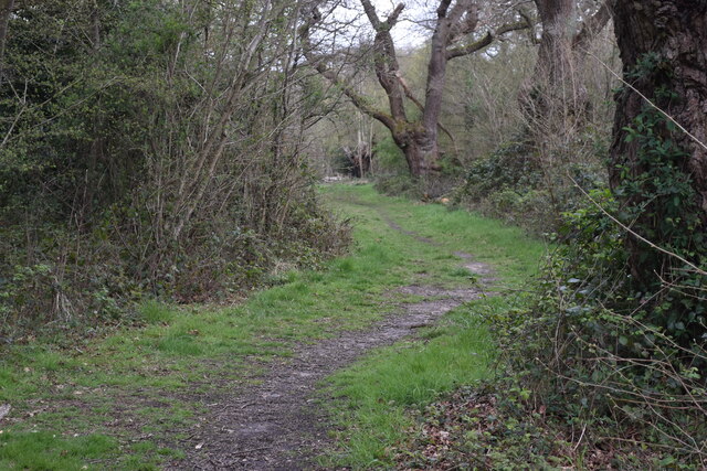
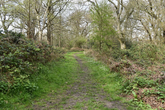
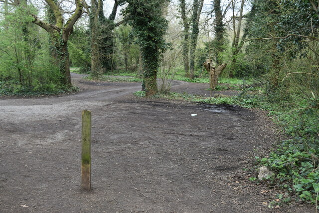
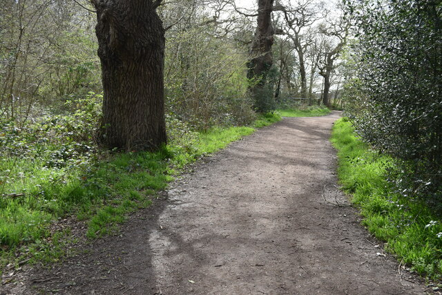
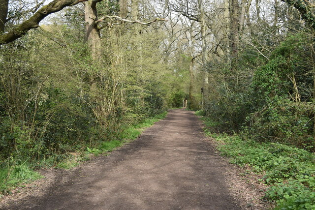
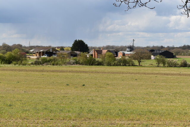
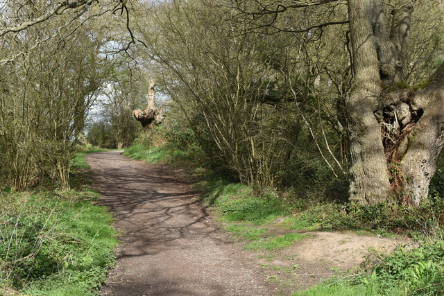
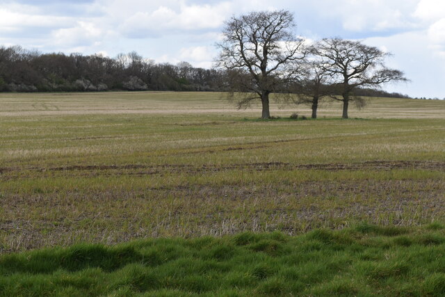
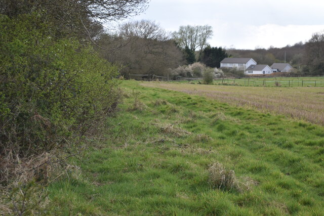
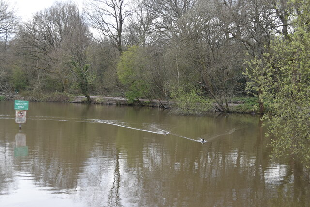
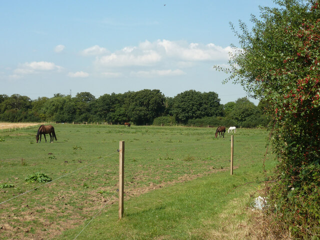
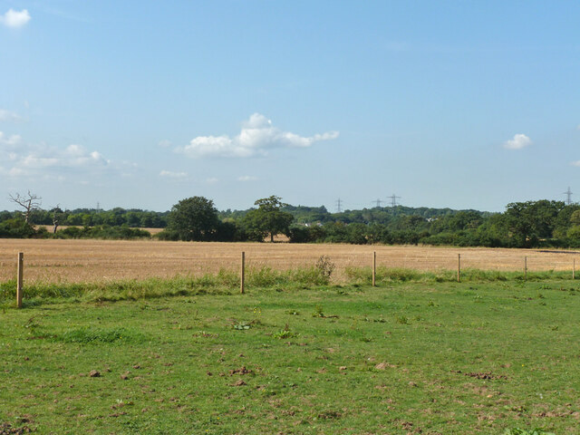
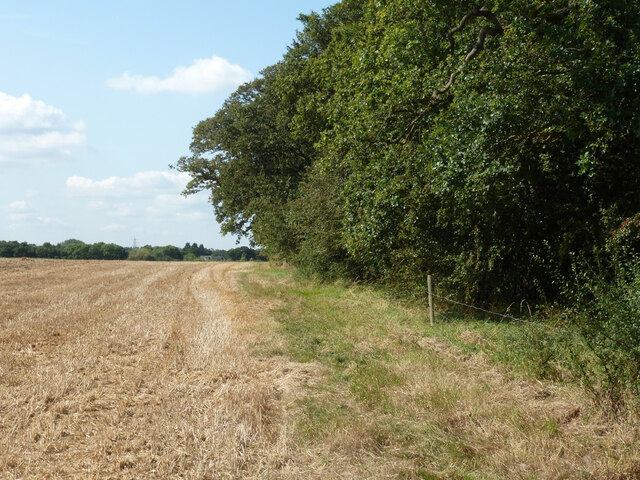
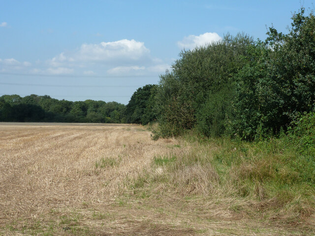
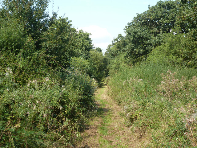
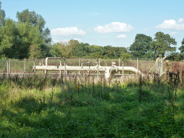
Jubilee Wood Images

Images are sourced within 2km of 51.343331/-0.3251851 or Grid Reference TQ1661. Thanks to Geograph Open Source API. All images are credited.

Path into woodland, on Ashtead Common
Path on Epsom Common
Empty car park on Epsom Common
Bridleway on edge of Epsom Common
View across field to Rushett Farm
Bridleway on edge of Ashtead Common
Farmland between Ashtead Common and the A243
View along outer edge of woodland at Ashtead Common
Stew Pond, Epsom Common
Field with horses A bridleway follows the field edge around the corner to the right and along the far hedge.
Field with horses
A bridleway follows the field edge around the corner to the right and along the far hedge.
Farmland near Malden Rushett
Bridleway behind the hedge This route is parallel to Rushett Lane which is behind the hedge. It offers views to the south, whereas Rushett Lane, which has a sidewalk, has limited views because of the high hedges each side.
Bridleway behind the hedge
This route is parallel to Rushett Lane which is behind the hedge. It offers views to the south, whereas Rushett Lane, which has a sidewalk, has limited views because of the high hedges each side.
Field edge near Malden Rushett
Bridleway towards Chessington Used by the 'Chessington Countryside Walk'.
Bridleway towards Chessington
Used by the 'Chessington Countryside Walk'.
Pipeline compound, Chessington Presumably gas, but a GPSS oil products pipeline marker is also on the nearby road verge.
Pipeline compound, Chessington
Presumably gas, but a GPSS oil products pipeline marker is also on the nearby road verge.
Footpath with cable laying, Chessington The cables appeared to be for telecommunications - see <a href="https://www.geograph.org.uk/photo/7338041">TQ1762 : Cable laying, Chessington</a>.
Footpath with cable laying, Chessington
The cables appeared to be for telecommunications - see TQ1762 : Cable laying, Chessington.
Cable laying, Chessington This appears to be a splicing point, where cables that have been pulled through plastic pipes are joined together.
Cable laying, Chessington
This appears to be a splicing point, where cables that have been pulled through plastic pipes are joined together.
Show me another place!

Jubilee Wood is located at Grid Ref: TQ1661 (Lat: 51.343331, Lng: -0.3251851)

Unitary Authority: Kingston upon Thames

Police Authority: Metropolitan

What 3 Words

///incomes.drives.venues. Near Chessington, London

Related Wikis

Jubilee Wood, Malden Rushett

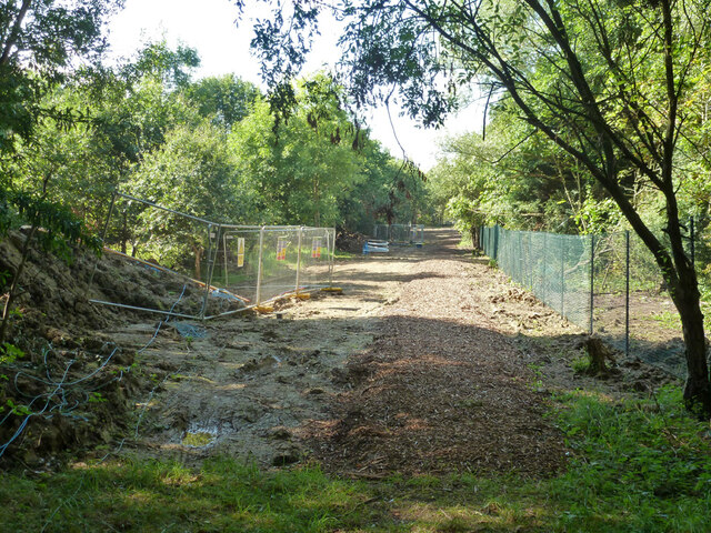
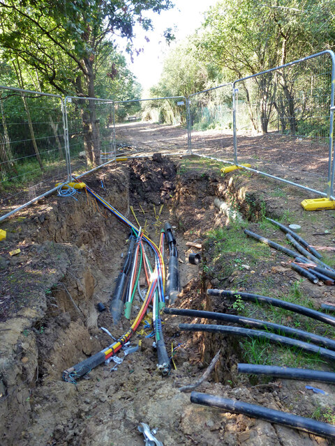
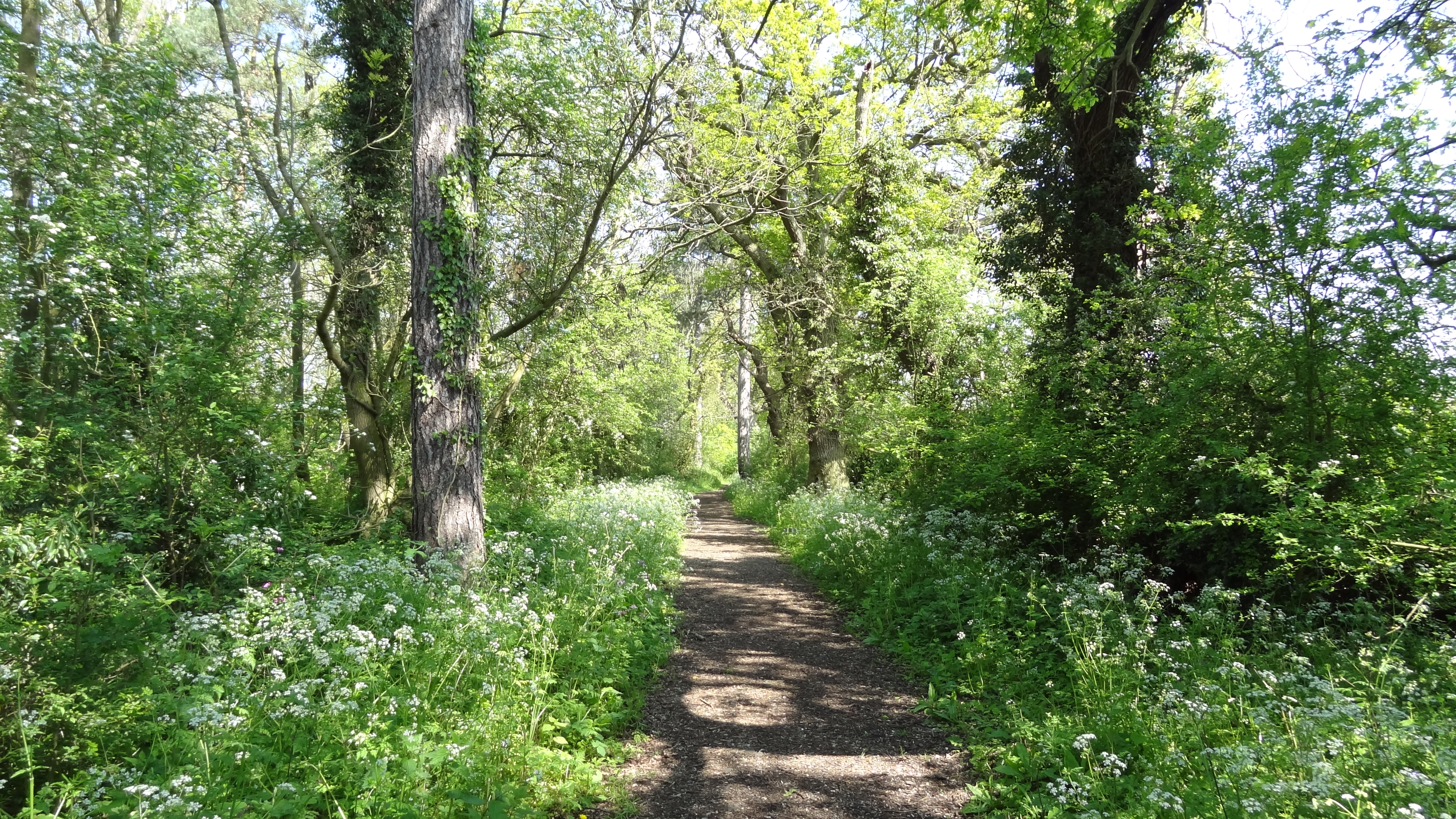
Jubilee Wood is located in Malden Rushett in the Royal Borough of Kingston upon Thames in London. It is divided into two parts, separated by an electricity...
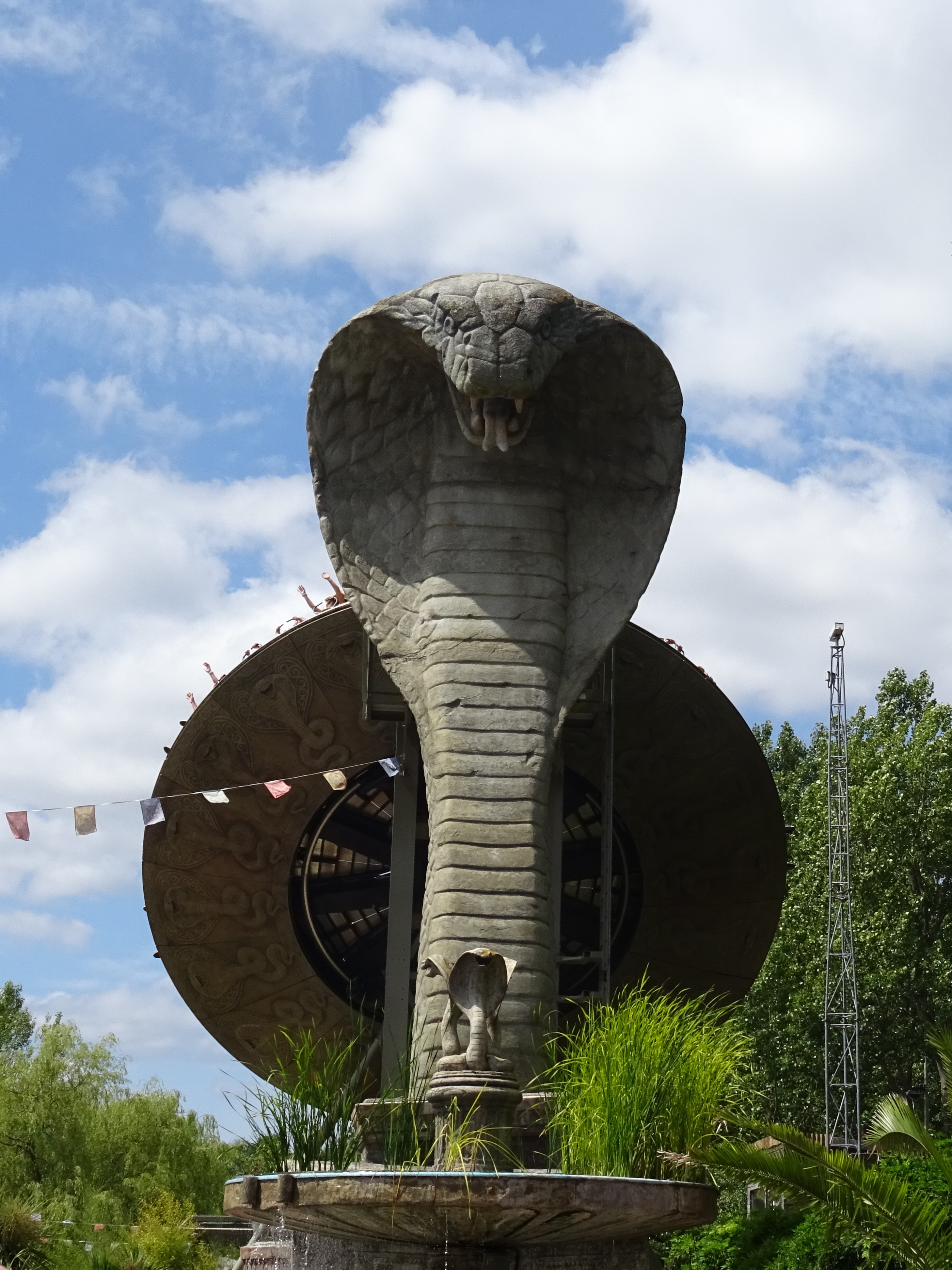
Kobra (ride)

Kobra is a Zamperla Mega Disk’O Coaster which opened in 2010 at Chessington World of Adventures Resort in southwest London, England. As of May 2021, the...
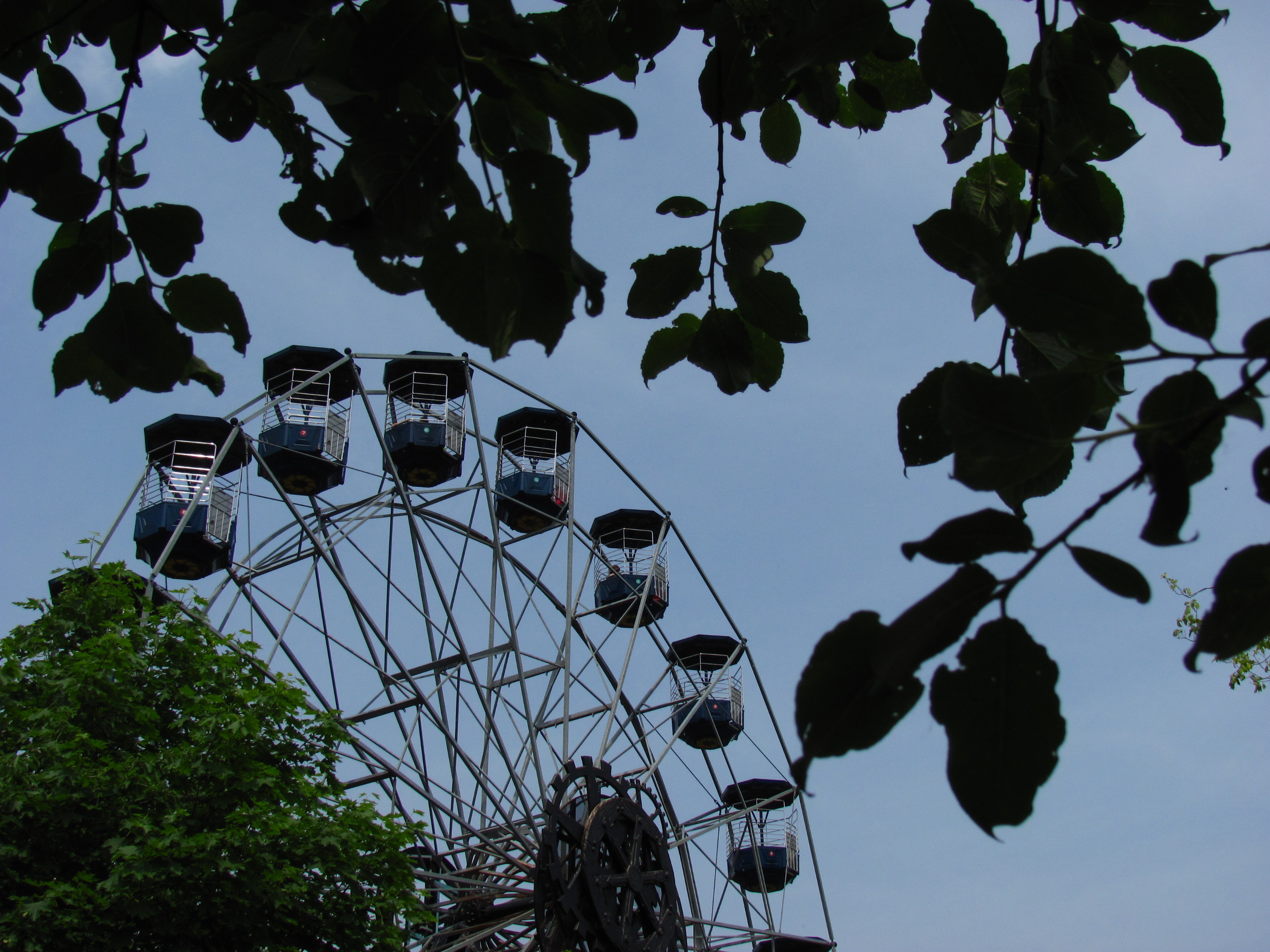
Peeking Heights

Peeking Heights was a Ferris wheel that opened in 2005 at the long-lived Mystic East area of Chessington World of Adventures Resort, where it provided...

Tiger Rock

Tiger Rock (previously known as Dragon Falls and Dragon River) is a flume ride at the theme park Chessington World of Adventures in Chessington, southwest...

Nearby Amenities

Located within 500m of 51.343331,-0.3251851
Power: tower
Lat/Long: 51.3443298/-0.3219031
Power: tower
Lat/Long: 51.344608/-0.3229069
Power: tower
Lat/Long: 51.3413599/-0.3267598
Malden Rushett
Created By: Potlatch 0.10f
Place: hamlet
Wikidata: Q6742786
Lat/Long: 51.3410523/-0.3190757
Power: tower
Lat/Long: 51.3428397/-0.3232304
Crossing
Crossing: marked
Crossing Island: no
Lat/Long: 51.3463151/-0.3243229
Power: tower
Source: Bing
Lat/Long: 51.3456107/-0.3260993
Leisure: playground
Lat/Long: 51.3403577/-0.3211962
Power: transformer
Voltage Primary: 275000
Voltage Secondary: 132000
Lat/Long: 51.3438737/-0.3217739
Power: transformer
Voltage Primary: 275000
Voltage Secondary: 132000
Lat/Long: 51.3437372/-0.3221923
Power: transformer
Voltage Primary: 275000
Voltage Secondary: 132000
Lat/Long: 51.3439885/-0.3230399
Power: transformer
Voltage Primary: 275000
Voltage Secondary: 132000
Lat/Long: 51.3441158/-0.3234637
Power: transformer
Lat/Long: 51.3430538/-0.323303
The data included in this document is from www.openstreetmap.org. The data is made available under ODbL.

Have you been to Jubilee Wood?

Leave your review of Jubilee Wood below (or comments, questions and feedback).