Wilsthorpe Plantation
Wood, Forest in Yorkshire
England
Wilsthorpe Plantation

Wilsthorpe Plantation is a picturesque woodland located in the county of Yorkshire, England. Situated near the village of Wilsthorpe, this sprawling forest encompasses an area of approximately 500 acres. The plantation is a haven for nature enthusiasts and offers a range of outdoor activities and attractions.
The woodland is predominantly composed of native trees, including oak, beech, and birch, which create a rich and diverse ecosystem. The dense foliage provides a habitat for numerous species of wildlife, making it a popular spot for birdwatchers and animal lovers.
Wilsthorpe Plantation offers a network of well-maintained walking trails, allowing visitors to explore the enchanting forest at their own pace. These paths wind their way through the woodland, offering stunning views of the surrounding countryside and glimpses of wildlife along the way.
Additionally, the plantation features a designated picnic area, inviting visitors to relax and enjoy the tranquility of their surroundings. The peaceful atmosphere makes it an ideal spot for families, couples, and individuals seeking respite from the hustle and bustle of daily life.
Wilsthorpe Plantation is also home to a variety of events and activities throughout the year. These include guided nature walks, educational programs, and seasonal festivities, such as Halloween pumpkin picking and Christmas tree sales.
Overall, Wilsthorpe Plantation is a captivating woodland retreat that offers a wealth of natural beauty and recreational opportunities. Its idyllic setting and diverse range of attractions make it a must-visit destination for both locals and tourists alike.
If you have any feedback on the listing, please let us know in the comments section below.
Wilsthorpe Plantation Images
Images are sourced within 2km of 54.062607/-0.21722446 or Grid Reference TA1664. Thanks to Geograph Open Source API. All images are credited.


Wilsthorpe Plantation is located at Grid Ref: TA1664 (Lat: 54.062607, Lng: -0.21722446)
Division: East Riding
Unitary Authority: East Riding of Yorkshire
Police Authority: Humberside
What 3 Words
///mailers.heartburn.harmonica. Near Carnaby, East Yorkshire
Nearby Locations
Related Wikis
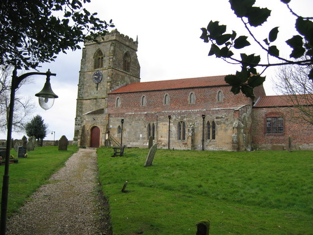
Wilsthorpe, East Riding of Yorkshire
Wilsthorpe is a hamlet in the East Riding of Yorkshire, England. It is situated on the coast just off the A165 road and approximately 2 miles (3.2 km...

Fraisthorpe Wind Farm
Fraisthorpe Wind Farm is a wind power generating site located in the village of Fraisthorpe in the East Riding of Yorkshire, England. The site is just...

Bessingby
Bessingby is a village and former civil parish, now in the parish of Bridlington, in the East Riding of Yorkshire, England. It lies immediately south-east...
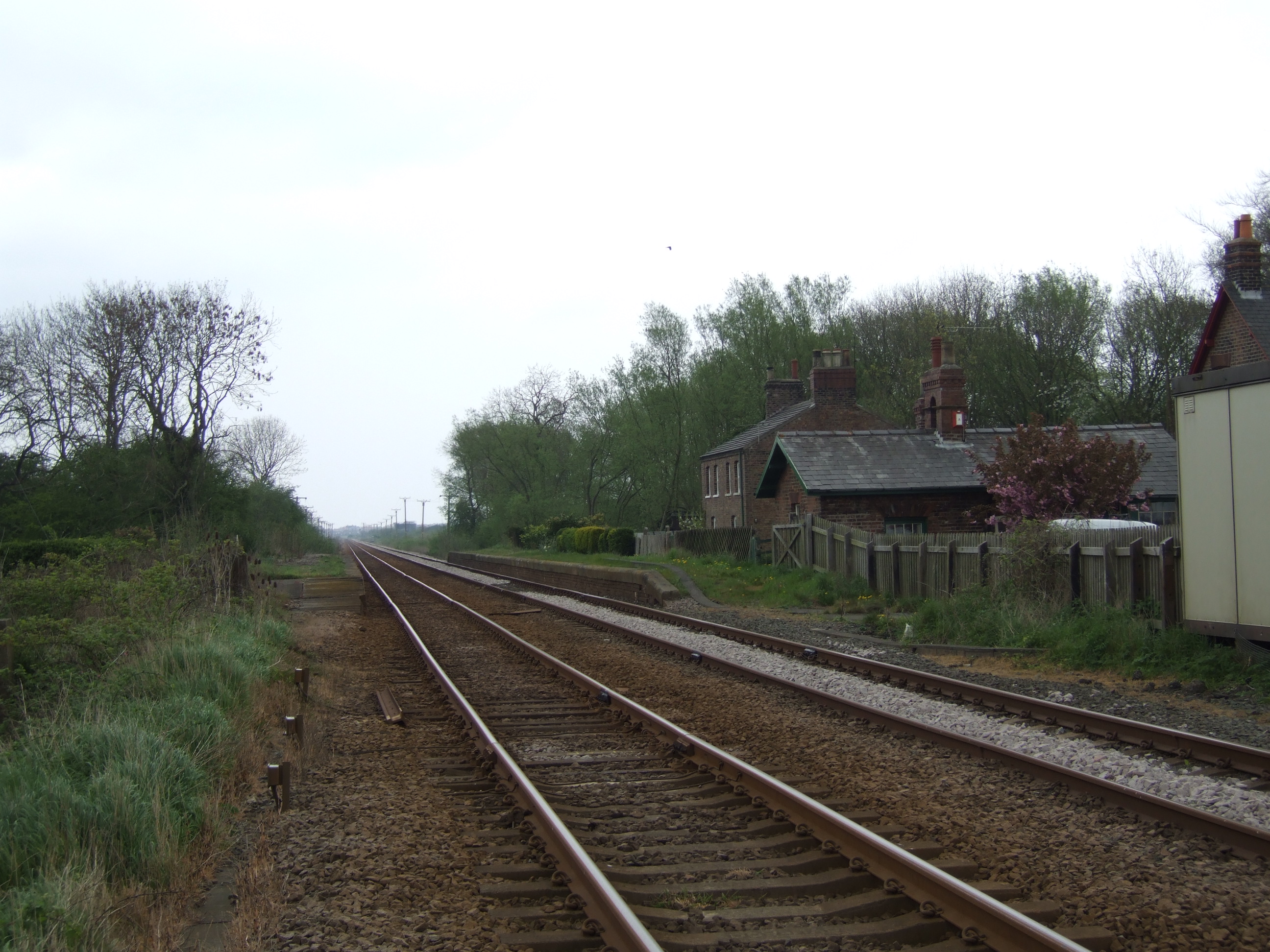
Carnaby railway station
Carnaby railway station was a minor railway station serving the village of Carnaby on the Yorkshire Coast Line from Scarborough to Hull, England. The station...

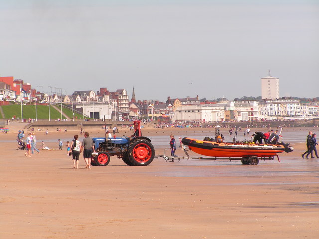
Bridlington Lifeboat Station
Bridlington Lifeboat Station is a Royal National Lifeboat Institution (RNLI) lifeboat station based in Bridlington, East Riding of Yorkshire, England...

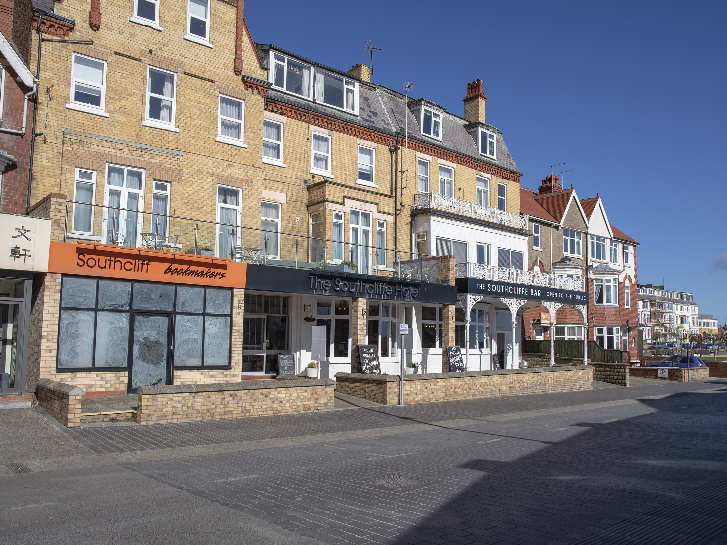
Bridlington Spa
Bridlington Spa is a dance hall, theatre and conference centre in Bridlington, East Riding of Yorkshire, England. Refurbished between 2006 and 2008 and...
RAF Bridlington
Royal Air Force Bridlington, or more simply RAF Bridlington, was a Royal Air Force station located in Bridlington, East Riding of Yorkshire, England, between...
Carnaby, East Riding of Yorkshire
Carnaby is a small village and civil parish on the A614 road in the East Riding of Yorkshire, England. It is situated approximately 2 miles (3 km) south...
Nearby Amenities
Located within 500m of 54.062607,-0.21722446Have you been to Wilsthorpe Plantation?
Leave your review of Wilsthorpe Plantation below (or comments, questions and feedback).