Threecorner Copse
Wood, Forest in Sussex Horsham
England
Threecorner Copse

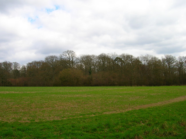
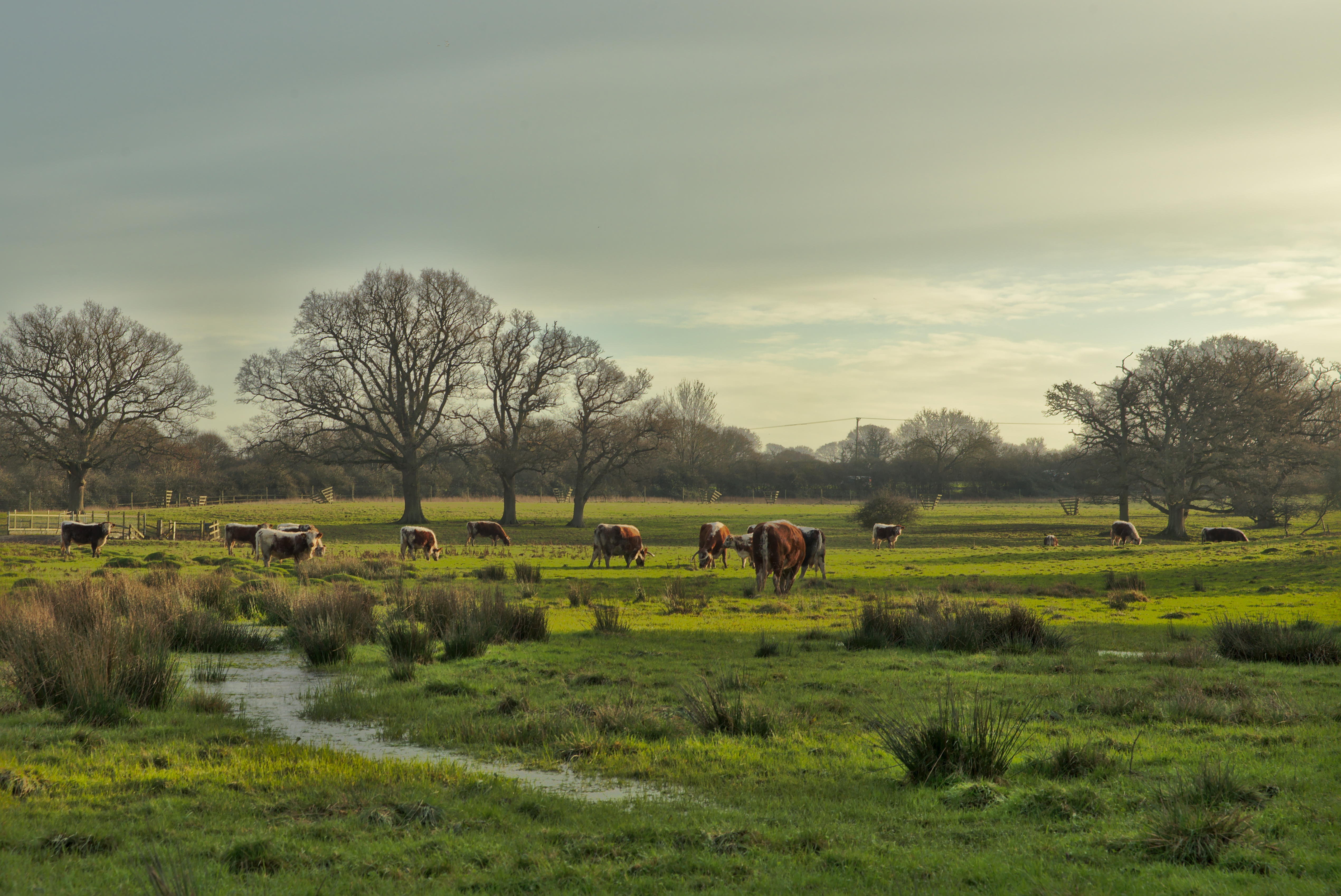
Threecorner Copse is a picturesque woodland located in Sussex, England. Covering an area of approximately 100 acres, this ancient forest is a haven for nature lovers and outdoor enthusiasts alike. It is situated on the outskirts of a small village, providing a tranquil escape from the bustling city life.
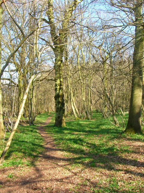
The woodland is predominantly made up of oak and beech trees, creating a dense canopy that provides shade and shelter for a variety of wildlife. The forest floor is adorned with a diverse array of flora, including bluebells, ferns, and wild orchids, adding to the enchanting atmosphere of the copse.
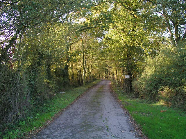
Threecorner Copse is crisscrossed by a network of well-maintained footpaths, allowing visitors to explore its beauty at leisure. The paths wind through the woodland, leading to hidden clearings and secluded ponds, providing ample opportunities for peaceful reflection and wildlife observation.
The forest is teeming with wildlife, making it a popular spot for birdwatchers and nature photographers. Visitors may catch a glimpse of deer, foxes, badgers, and a wide variety of bird species, including woodpeckers, owls, and warblers.
Threecorner Copse is also a site of historical significance, with remnants of ancient settlements and burial mounds dating back to the Neolithic period. Archaeological enthusiasts can explore these remnants and gain insight into the area's rich cultural heritage.
Overall, Threecorner Copse offers a serene and captivating experience for nature enthusiasts, history buffs, and those seeking a peaceful retreat in the heart of Sussex.
If you have any feedback on the listing, please let us know in the comments section below.
Threecorner Copse Images
Images are sourced within 2km of 50.948172/-0.35322152 or Grid Reference TQ1517. Thanks to Geograph Open Source API. All images are credited.


Threecorner Copse is located at Grid Ref: TQ1517 (Lat: 50.948172, Lng: -0.35322152)
Administrative County: West Sussex
District: Horsham
Police Authority: Sussex
What 3 Words
///lamppost.rinse.clumped. Near Ashurst, West Sussex
Nearby Locations
Related Wikis

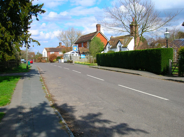
Dial Post
Dial Post is a village in the Horsham District of West Sussex, England. The civil parish, where the lowest level political meetings are held, is West Grinstead...

St James's Church, Ashurst
St James's Church is a Church of England parish church in Ashurst, West Sussex. The church is a grade I listed building and it dates from the early 12th...

Ashurst, West Sussex
Ashurst is a village and civil parish in the Horsham District of West Sussex, England, about 2 miles (3.2 km) west of Henfield, and 11 miles (18 km) south...

Fountain Inn, Ashurst
The Fountain Inn is a 16th-century public house in the village of Ashurst, in the Horsham district of West Sussex, England. After a period as a farmhouse...

Bines Green
Bines Green is a hamlet in the Horsham District of West Sussex, England. It lies 1.9 miles (3.1 km) north west of Henfield on the B2135 road between Ashurst...

Ashington, West Sussex
Ashington is a village and civil parish in the Horsham District of West Sussex, England. It lies on the A24 road 3 miles (4.8 km) north-east of Storrington...

Knepp Castle
The medieval Knepp Castle (sometimes referred to as 'Old Knepp Castle', to distinguish it from the nearby 19th-century mansion) is to the west of the village...
Knepp Wildland
Knepp Wildland is the first major lowland rewilding project in England. It comprises 1,400 hectares (3,500 acres; 5.4 square miles) of former arable and...
Nearby Amenities
Located within 500m of 50.948172,-0.35322152Have you been to Threecorner Copse?
Leave your review of Threecorner Copse below (or comments, questions and feedback).