Woodman's Hill
Hill, Mountain in Sussex Horsham
England
Woodman's Hill

Woodman's Hill is a prominent hill located in the county of Sussex, England. Situated in the South Downs National Park, it offers breathtaking views and is a popular destination for hikers, nature enthusiasts, and locals alike. With an elevation of approximately 200 meters (656 feet), it is not classified as a mountain but rather a hill.
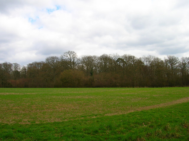
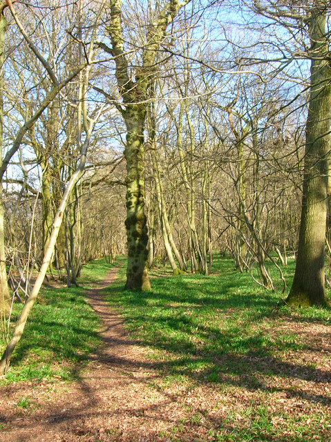
The hill is covered in a diverse range of flora and fauna, making it an ideal spot for wildlife observation. The woodland areas are home to various species of birds, mammals, and insects, creating a thriving ecosystem. The hillside is also adorned with picturesque wildflowers during the spring and summer months, adding to its natural beauty.
Woodman's Hill is renowned for its well-maintained trails, making it an excellent location for outdoor activities such as walking, running, and cycling. There are numerous pathways that crisscross the hill, catering to different skill levels and offering options for both leisurely strolls and more challenging hikes.
At the summit of Woodman's Hill, visitors are rewarded with panoramic views of the surrounding countryside. On clear days, it is possible to see as far as the English Channel, providing a stunning backdrop to the already impressive landscape. The hilltop is often a popular spot for picnics and relaxation, allowing visitors to soak in the natural beauty and enjoy the tranquility of the area.
In conclusion, Woodman's Hill in Sussex is a captivating hill that offers a range of recreational opportunities and outstanding natural vistas. It is a cherished location for nature lovers and outdoor enthusiasts, providing an escape from the hustle and bustle of everyday life.
If you have any feedback on the listing, please let us know in the comments section below.
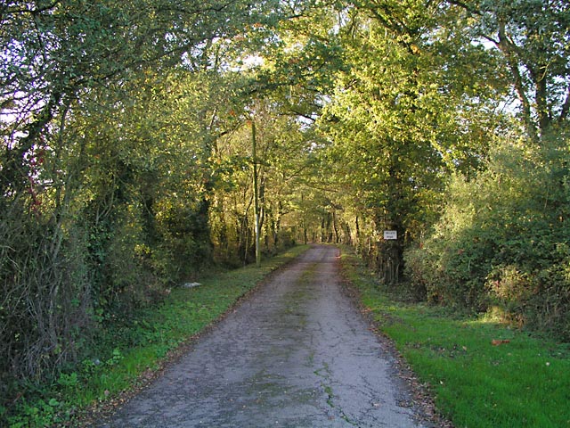
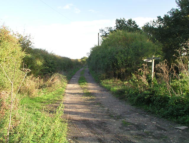
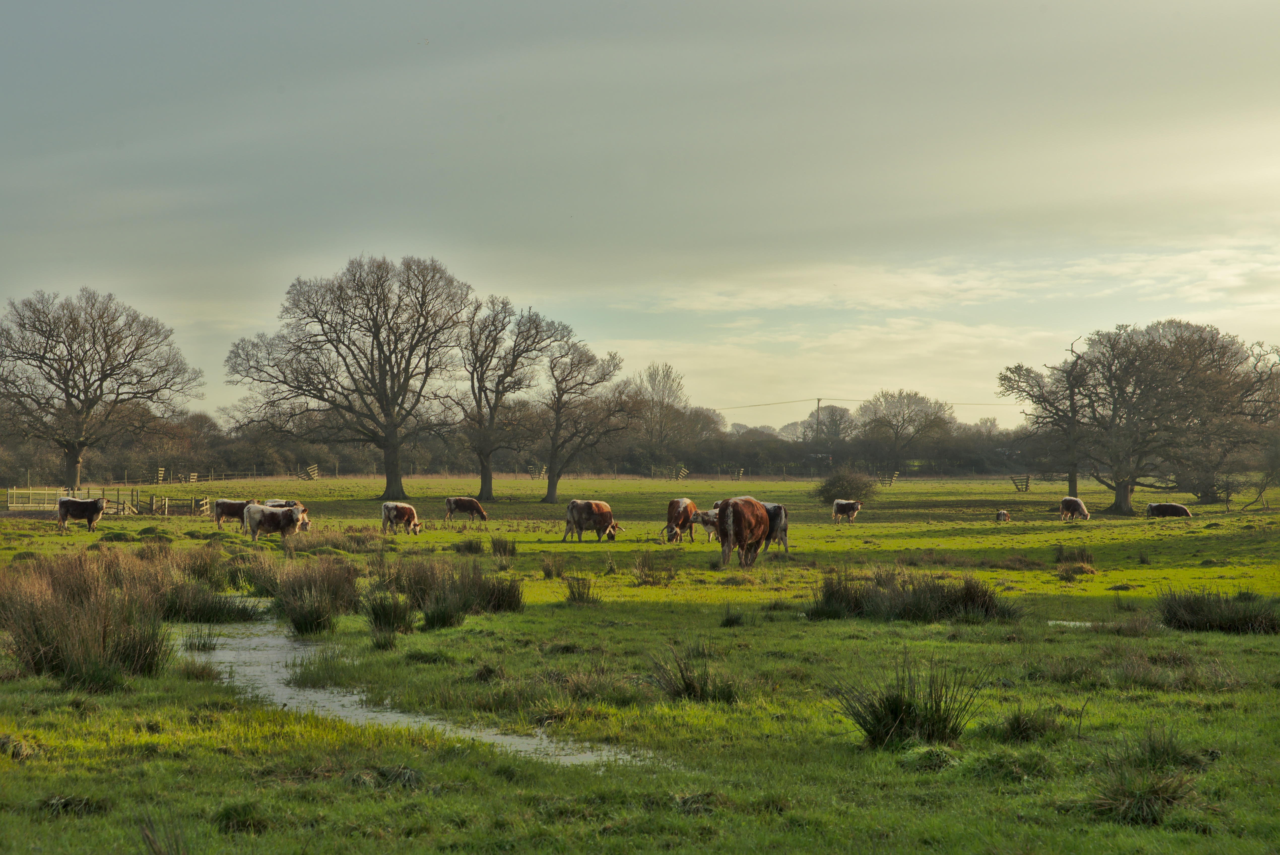
Woodman's Hill Images
Images are sourced within 2km of 50.949866/-0.35925491 or Grid Reference TQ1517. Thanks to Geograph Open Source API. All images are credited.


Woodman's Hill is located at Grid Ref: TQ1517 (Lat: 50.949866, Lng: -0.35925491)
Administrative County: West Sussex
District: Horsham
Police Authority: Sussex
What 3 Words
///escorting.videos.battling. Near Ashington, West Sussex
Nearby Locations
Related Wikis

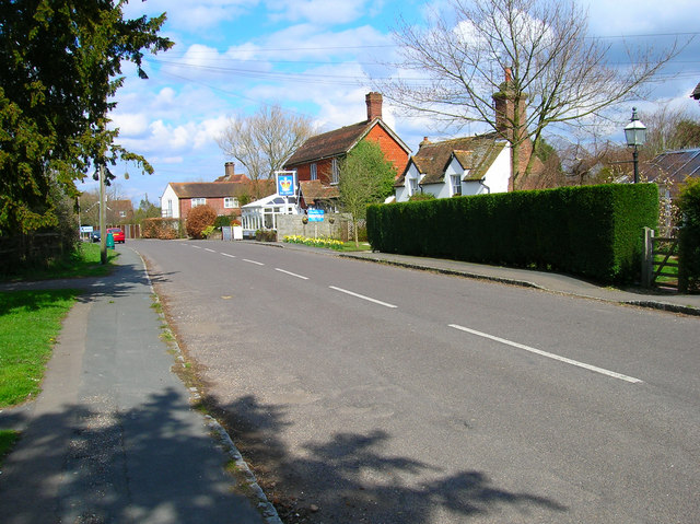
Dial Post
Dial Post is a village in the Horsham District of West Sussex, England. The civil parish, where the lowest level political meetings are held, is West Grinstead...

St James's Church, Ashurst
St James's Church is a Church of England parish church in Ashurst, West Sussex. The church is a grade I listed building and it dates from the early 12th...

Ashington, West Sussex
Ashington is a village and civil parish in the Horsham District of West Sussex, England. It lies on the A24 road 3 miles (4.8 km) north-east of Storrington...

Brightling Park
Brightling Park (previously known as Rose Hill) is a country estate which lies in the parishes of Brightling and Dallington in the Rother district of East...

Knepp Castle
The medieval Knepp Castle (sometimes referred to as 'Old Knepp Castle', to distinguish it from the nearby 19th-century mansion) is to the west of the village...
Knepp Wildland
Knepp Wildland is the first major lowland rewilding project in England. It comprises 1,400 hectares (3,500 acres; 5.4 square miles) of former arable and...

St George's Church, West Grinstead
St George's Church is an Anglican church in West Grinstead, West Sussex, England. It is in the Diocese of Chichester, occupying a rural position in the...

Ashurst, West Sussex
Ashurst is a village and civil parish in the Horsham District of West Sussex, England, about 2 miles (3.2 km) west of Henfield, and 11 miles (18 km) south...
Nearby Amenities
Located within 500m of 50.949866,-0.35925491Have you been to Woodman's Hill?
Leave your review of Woodman's Hill below (or comments, questions and feedback).