Blackgreen Wood
Wood, Forest in Hertfordshire St. Albans
England
Blackgreen Wood
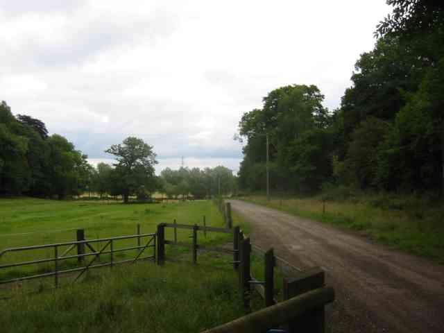
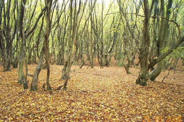
Blackgreen Wood is a picturesque woodland located in Hertfordshire, England. Spanning over an area of approximately 50 hectares, it is a prominent natural feature in the region. The wood is characterized by a mix of deciduous and coniferous trees, creating a diverse and vibrant ecosystem.
The woodland is known for its rich biodiversity, with numerous plant and animal species thriving within its boundaries. Ancient oaks, beeches, and ash trees dominate the landscape, providing a dense canopy that offers shade and shelter to a variety of wildlife. The forest floor is carpeted with a plethora of wildflowers, ferns, and mosses, adding to the overall enchanting atmosphere.
Blackgreen Wood boasts several well-maintained walking trails, allowing visitors to explore its beauty at their own pace. These paths wind through the woods, offering glimpses of small streams and ponds that provide habitats for an array of aquatic flora and fauna. Birdwatchers will find a haven here, as the wood attracts a multitude of bird species, including woodpeckers, owls, and various songbirds.
The woodland is managed by the local conservation authority, ensuring its preservation and protection. The surrounding area also benefits from the wood's presence, as it acts as a natural buffer against noise pollution and provides a refreshing escape from the bustle of modern life.
Blackgreen Wood is a cherished natural treasure in Hertfordshire, offering visitors a peaceful retreat to immerse themselves in the beauty of nature. Whether it be for a leisurely walk, birdwatching, or simply enjoying the tranquility, this woodland is a must-visit destination for nature enthusiasts and those seeking solace in the great outdoors.
If you have any feedback on the listing, please let us know in the comments section below.
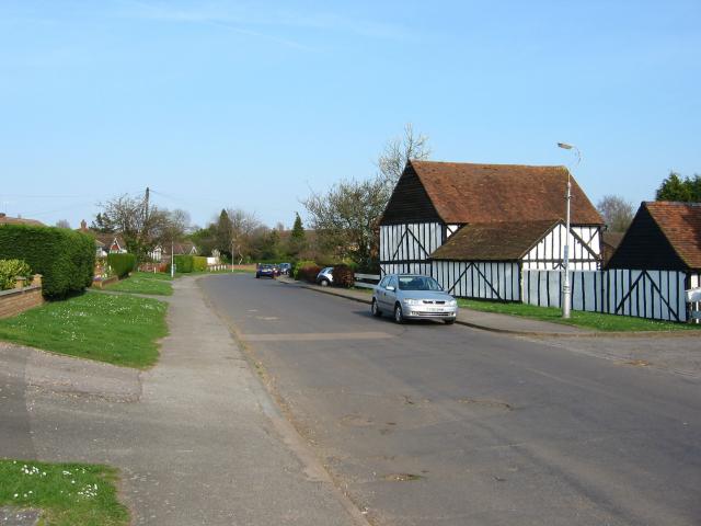
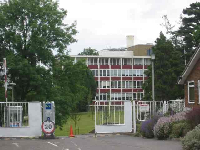
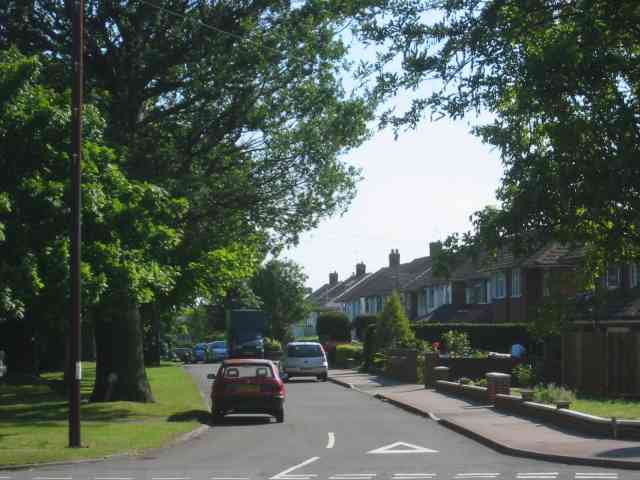
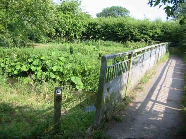
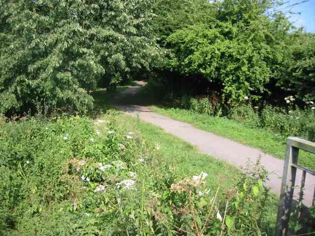
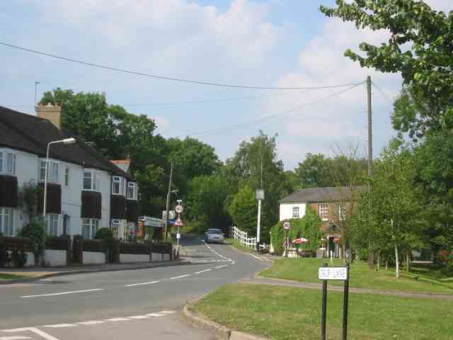
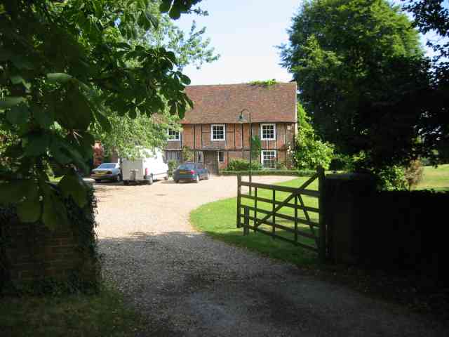
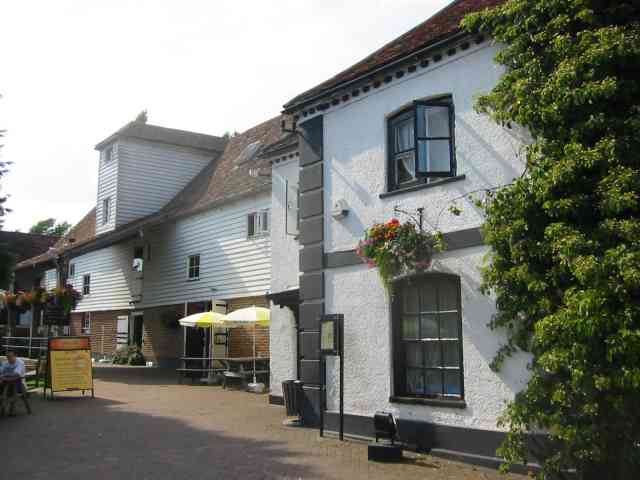
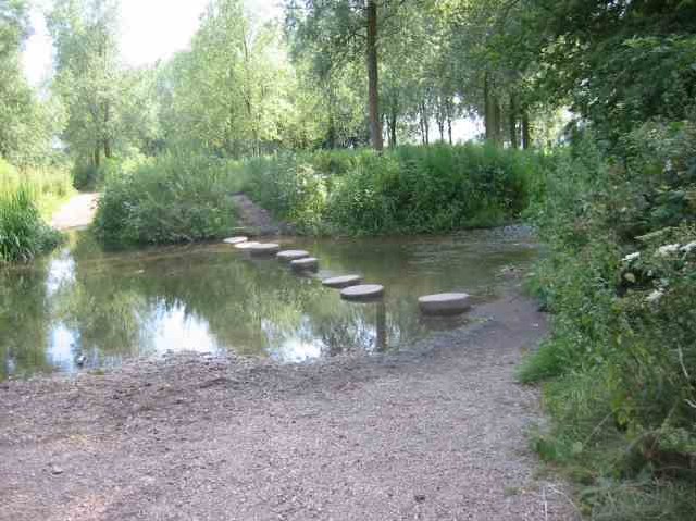
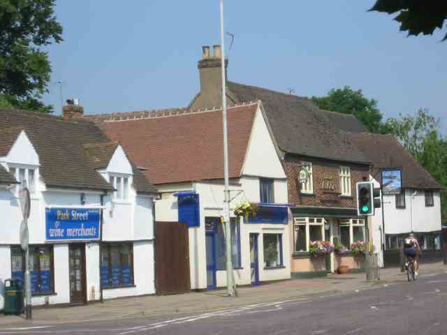
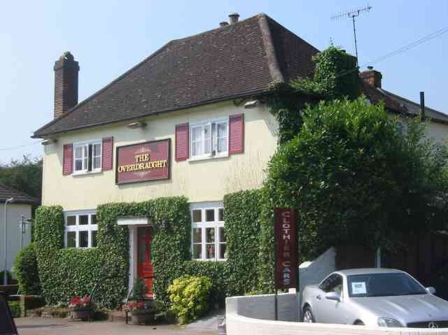
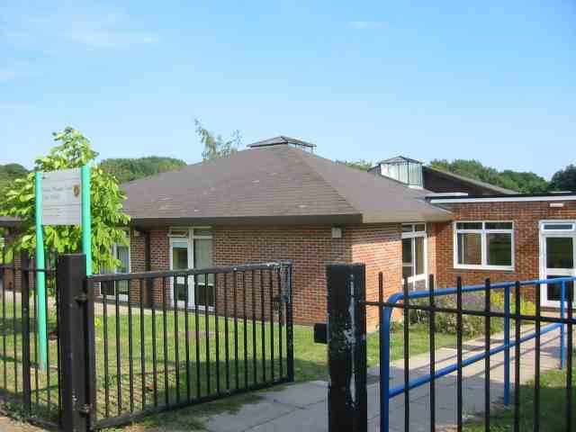
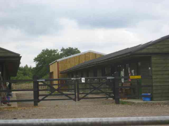
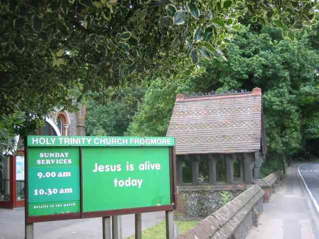
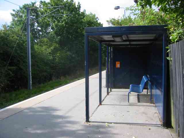
Blackgreen Wood Images
Images are sourced within 2km of 51.710399/-0.35719818 or Grid Reference TL1302. Thanks to Geograph Open Source API. All images are credited.

Blackgreen Wood is located at Grid Ref: TL1302 (Lat: 51.710399, Lng: -0.35719818)
Administrative County: Hertfordshire
District: St. Albans
Police Authority: Hertfordshire
What 3 Words
///foods.civic.bills. Near Radlett, Hertfordshire
Nearby Locations
Related Wikis

Moor Mill Quarry, West
Moor Mill Quarry, West is a 0.16-hectare (0.40-acre) geological Site of Special Scientific Interest in How Wood in Hertfordshire. The local planning authority...
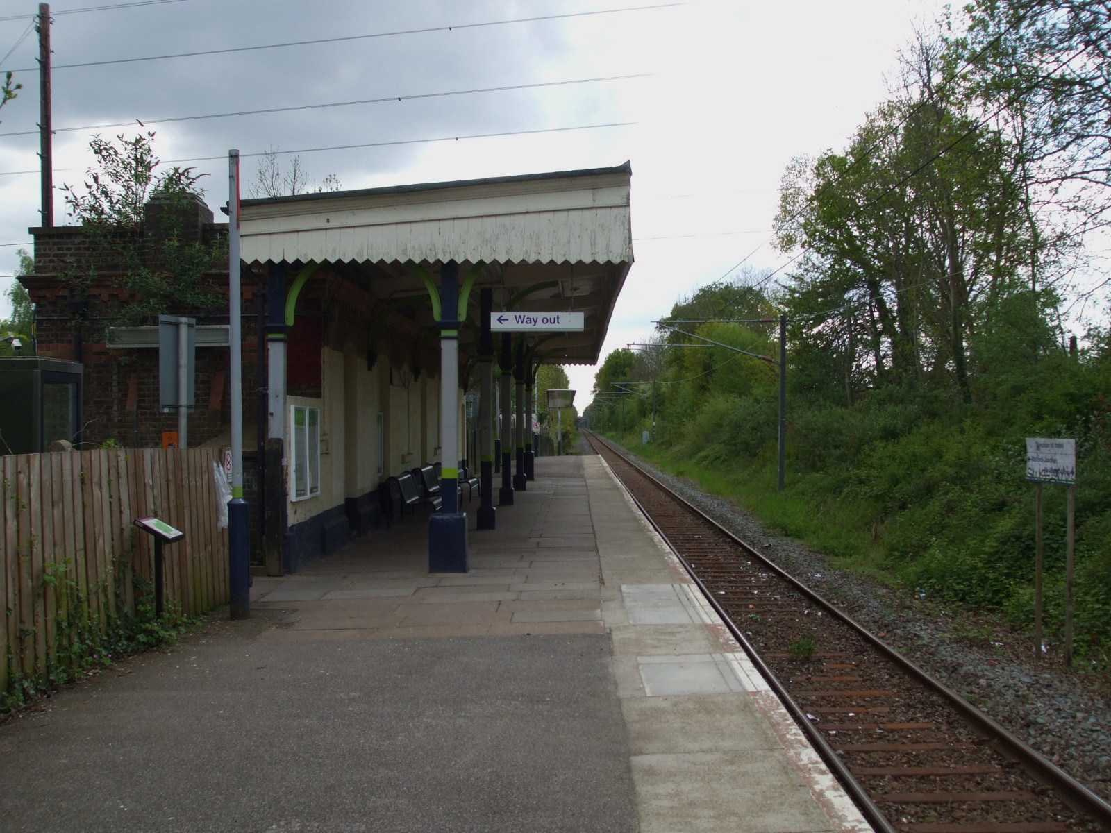
Bricket Wood railway station
Bricket Wood railway station is in the village of Bricket Wood, Hertfordshire, England, on the Abbey Line 31⁄4 miles (5 km) east of Watford Junction. The...

Spielplatz
Spielplatz (German for playground) is the longest-operating naturist resort in United Kingdom, and consists of 12 acres (4.9 ha) located in the village...

Abbey Line
The Abbey Line, also called the St Albans Abbey branch line, is a railway line from Watford Junction to St Albans Abbey. The 6.5-mile (10.5 km) route passes...
Bricket Wood coven
The Bricket Wood coven, or Hertfordshire coven is a coven of Gardnerian witches founded in the 1940s by Gerald Gardner. It is notable for being the first...
Bricket Wood
Bricket Wood is a village in the county of Hertfordshire, England, 4.2 miles (6.8 km) south of St Albans city centre (though in said city's contiguous...
Hanstead Stud
The Hanstead Stud was a breeding farm in England for Arabian horses. It was active from 1928 to 1957, and its animals had a significant impact in many...
Hanstead House
Hanstead House or Hanstead Park is a country house estate in Hertfordshire, England. Hanstead is near Bricket Wood, about three miles from Radlett and...
Nearby Amenities
Located within 500m of 51.710399,-0.35719818Have you been to Blackgreen Wood?
Leave your review of Blackgreen Wood below (or comments, questions and feedback).