Black Green
Settlement in Hertfordshire St. Albans
England
Black Green
Black Green is a small village located in the county of Hertfordshire, England. Situated approximately 10 miles northwest of the county town, Hertford, it falls within the district of East Hertfordshire. The village derives its name from the rich agricultural lands that surround it, known for their dark and fertile soil.
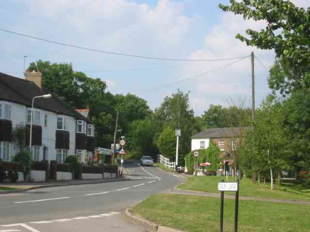
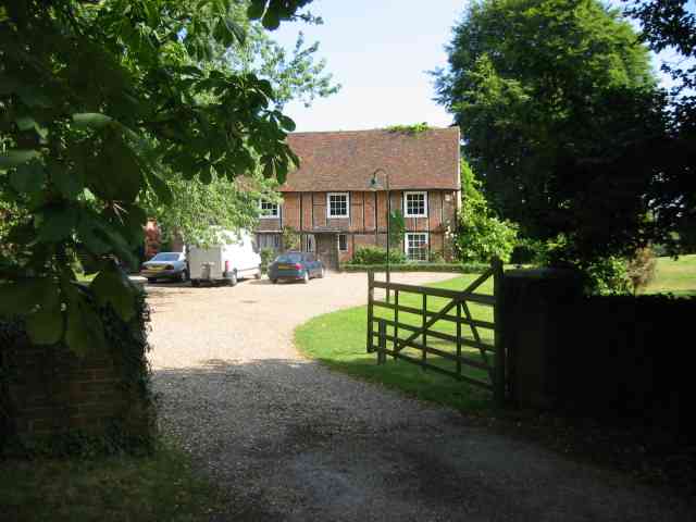
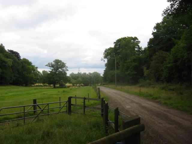
The settlement of Black Green dates back several centuries, with evidence of human habitation in the area since the medieval period. Today, the village retains its rural charm and is home to a close-knit community. The picturesque landscape is dominated by sprawling farmlands, giving the area a serene and tranquil atmosphere.
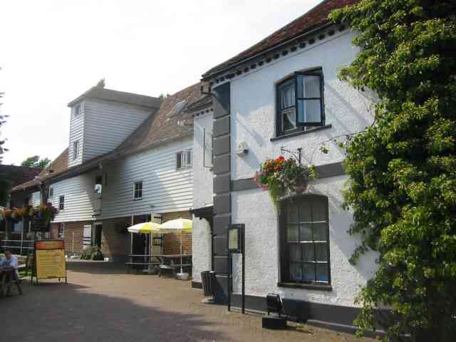
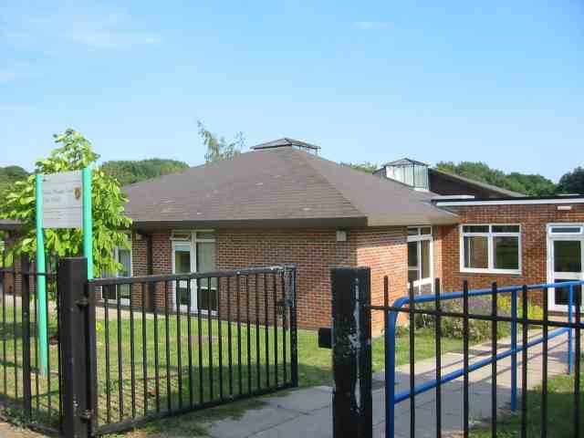
Despite its small size, Black Green offers several amenities for its residents. A local pub, The Black Horse, serves as a popular meeting place and hub of social activity. The village also has a primary school, providing education for the local children. For shopping and other services, residents can easily access nearby towns such as Hertford or Ware.
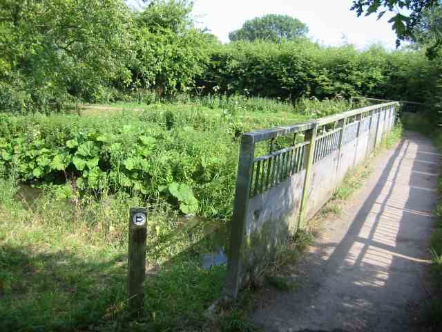
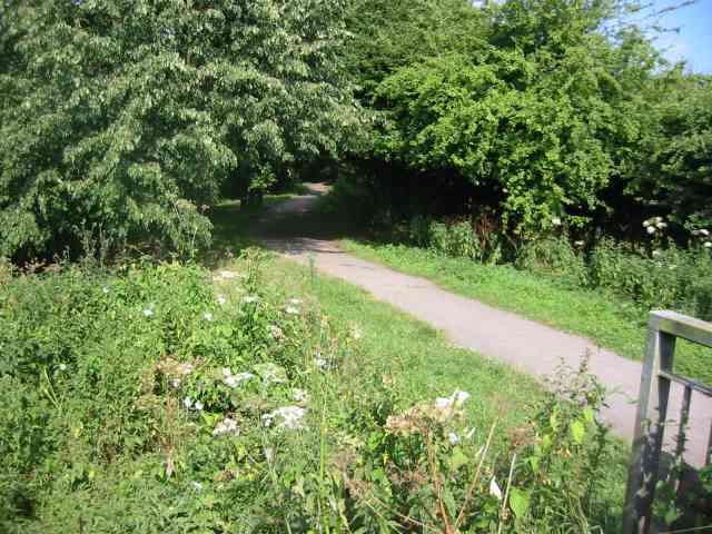
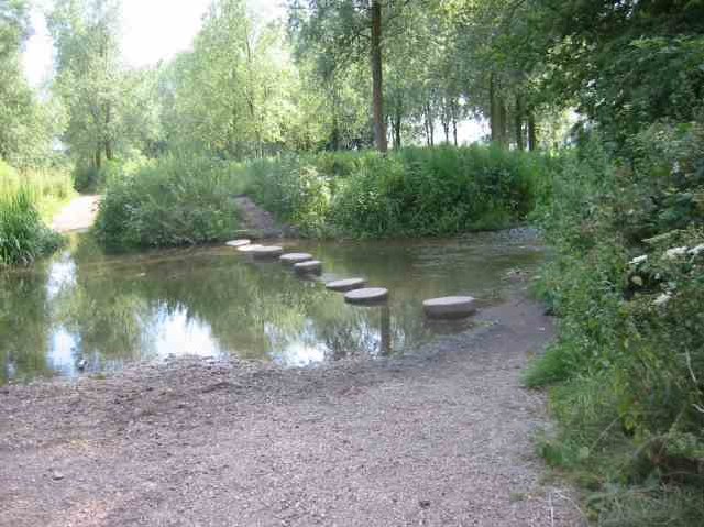
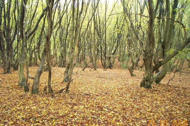
The surrounding countryside offers ample opportunities for outdoor activities and exploration. A network of footpaths and bridleways crisscrosses the area, allowing residents and visitors to enjoy leisurely walks, cycling, and horse riding. The village is also conveniently located near several nature reserves and country parks, providing access to diverse wildlife and stunning landscapes.
Overall, Black Green offers a peaceful and idyllic setting, making it an attractive place to live for those seeking a slower pace of life and a strong sense of community.
If you have any feedback on the listing, please let us know in the comments section below.
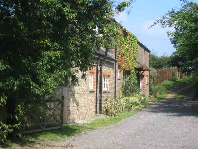
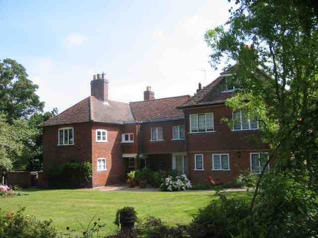
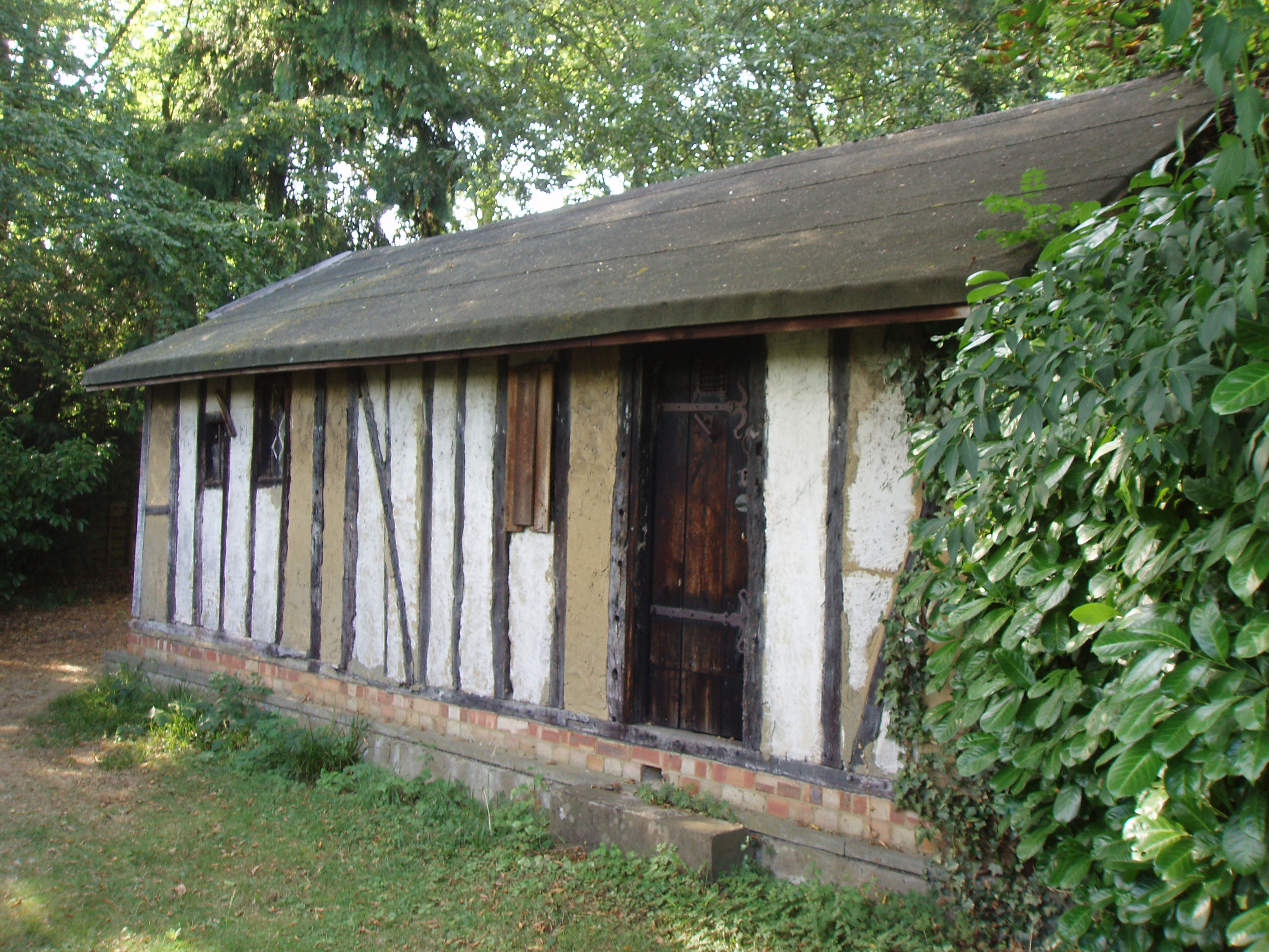
Black Green Images
Images are sourced within 2km of 51.709564/-0.36437858 or Grid Reference TL1302. Thanks to Geograph Open Source API. All images are credited.
Black Green is located at Grid Ref: TL1302 (Lat: 51.709564, Lng: -0.36437858)
Administrative County: Hertfordshire
District: St. Albans
Police Authority: Hertfordshire
What 3 Words
///thin.test.bunk. Near Abbots Langley, Hertfordshire
Nearby Locations
Related Wikis
Bricket Wood coven
The Bricket Wood coven, or Hertfordshire coven is a coven of Gardnerian witches founded in the 1940s by Gerald Gardner. It is notable for being the first...
Bricket Wood
Bricket Wood is a village in the county of Hertfordshire, England, 4.2 miles (6.8 km) south of St Albans city centre (though in said city's contiguous...
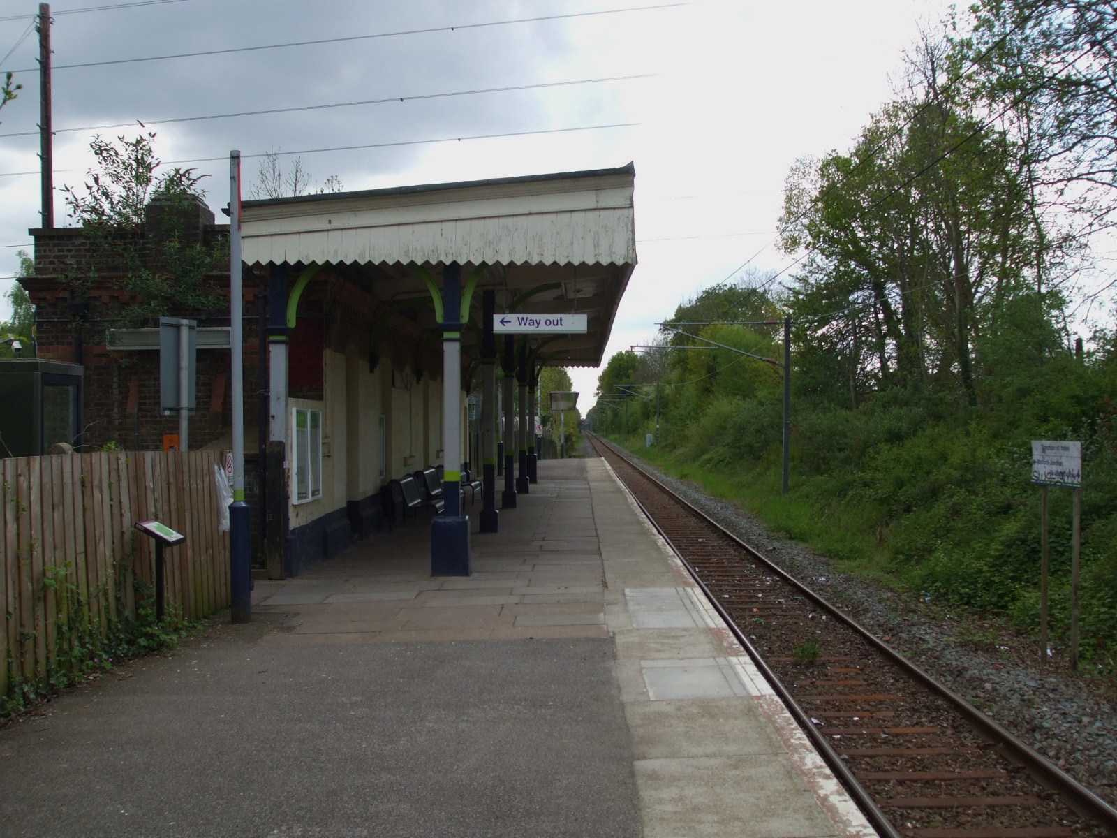
Bricket Wood railway station
Bricket Wood railway station is in the village of Bricket Wood, Hertfordshire, England, on the Abbey Line 31⁄4 miles (5 km) east of Watford Junction. The...

Abbey Line
The Abbey Line, also called the St Albans Abbey branch line, is a railway line from Watford Junction to St Albans Abbey. The 6.5-mile (10.5 km) route passes...

Spielplatz
Spielplatz (German for playground) is the longest-operating naturist resort in United Kingdom, and consists of 12 acres (4.9 ha) located in the village...

Moor Mill Quarry, West
Moor Mill Quarry, West is a 0.16-hectare (0.40-acre) geological Site of Special Scientific Interest in How Wood in Hertfordshire. The local planning authority...
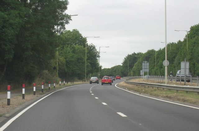
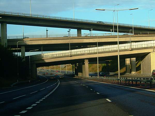
A405 road
The A405 is a 4.8 miles (7.7 km) dual carriageway road in Hertfordshire, England, from the A41 at Leavesden Green, near Watford, to the A414 at Park Street...
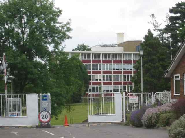
Building Research Establishment
The Building Research Establishment (BRE) is a centre of building science in the United Kingdom, owned by charitable organisation the BRE Trust. It is...
Related Videos
Tranquil Pathways: Garston to St Albans Walk | UK Hiking Trails 🇬🇧
Embark on a serene journey as we walk from Garston to St Albans, immersing ourselves in the tranquil beauty of Hertfordshire's ...

Premier Inn St Albans Bricket Wood Review | Best Value Hotel to Explore London
Travelling to London on a budget? This is the place to stay. Premier Inn Bricket Wood is located just a 20-minute drive from ...

Christmas is here! #trending #viral #youtubeshorts #travel #christmas #kolkata #shorts #parkstreet
Christmas is here! #trending #viral #youtubeshorts #travel #christmas #kolkata #shorts #parkstreet christmas music. christmas ...

Glammascreations- how to use and install a Walking foot
This is an added extra foot for your sewing machine that helps slippy, thick or a quilt sandwich feed through your machine more ...
Nearby Amenities
Located within 500m of 51.709564,-0.36437858Have you been to Black Green?
Leave your review of Black Green below (or comments, questions and feedback).