Smug Oak
Settlement in Hertfordshire St. Albans
England
Smug Oak
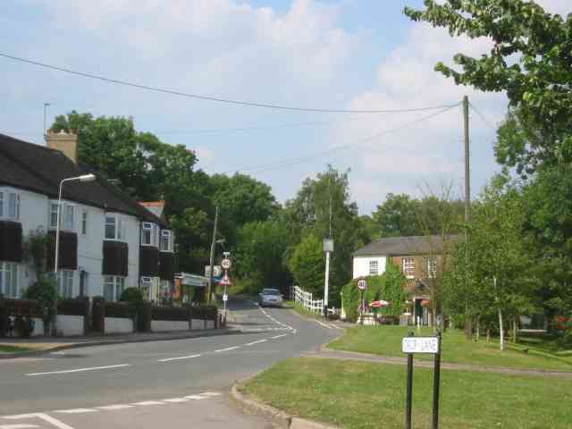
Smug Oak is a small village located in Hertfordshire, England. Situated approximately 6 miles east of the town of Hemel Hempstead, Smug Oak is nestled amidst picturesque countryside and offers a tranquil and idyllic setting for its residents.
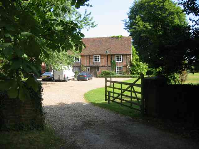
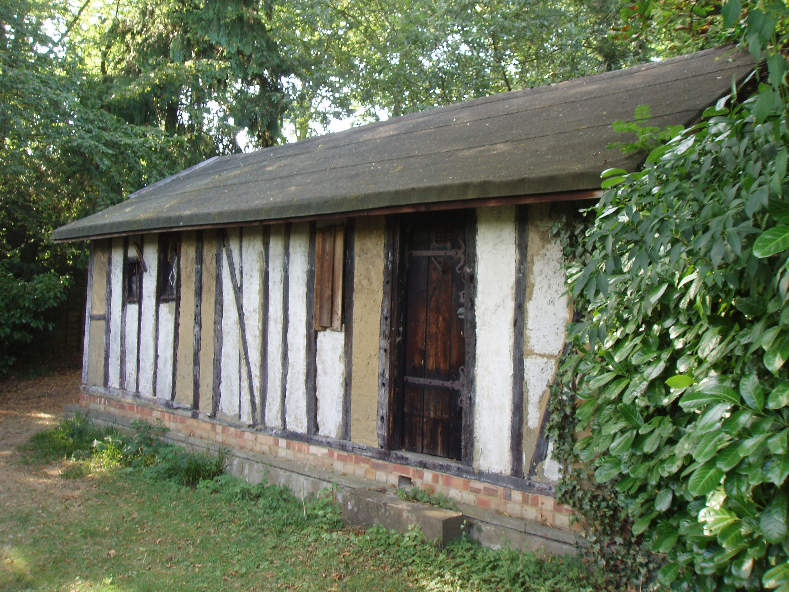
The village is known for its charming character, with a mix of traditional and modern architecture. The houses in Smug Oak exhibit a range of architectural styles, from classic Tudor designs to contemporary structures, giving the village a unique and diverse aesthetic appeal.
Smug Oak is well-connected to surrounding towns and cities, thanks to its proximity to major road networks. The A414 and A41 roads are easily accessible, providing convenient links to Hemel Hempstead, St Albans, and Watford. The village is also served by regular bus services, offering reliable transportation options for both residents and visitors.
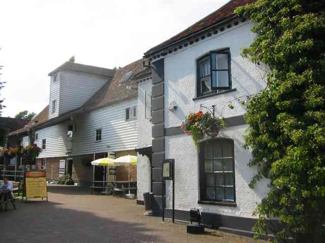
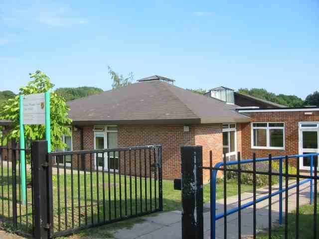
In terms of amenities, Smug Oak offers a range of facilities to cater to the needs of its residents. There is a local primary school, providing education for young children, and a village hall that hosts various community events and activities. Additionally, there are several pubs and restaurants in and around the village, offering a selection of dining options.
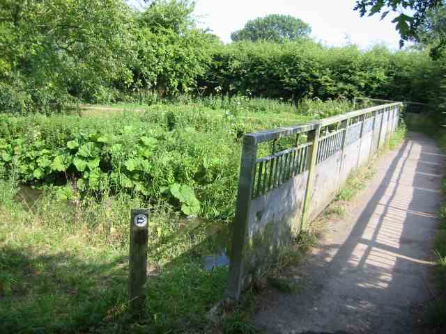
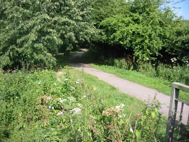
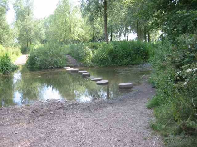
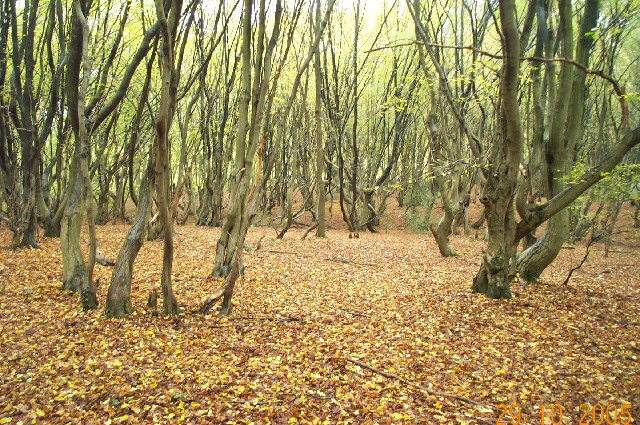
For those who enjoy outdoor activities, Smug Oak is surrounded by scenic countryside and offers ample opportunities for walking, cycling, and exploring nature. The nearby Ashridge Estate, a National Trust site, provides stunning landscapes and extensive woodlands for residents to enjoy.
Overall, Smug Oak is a charming village that offers a peaceful and picturesque lifestyle, while still providing easy access to nearby towns and amenities.
If you have any feedback on the listing, please let us know in the comments section below.
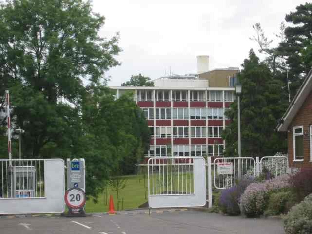
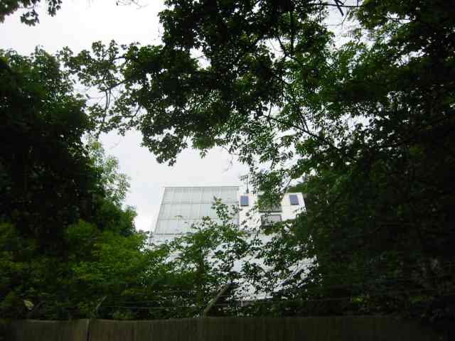
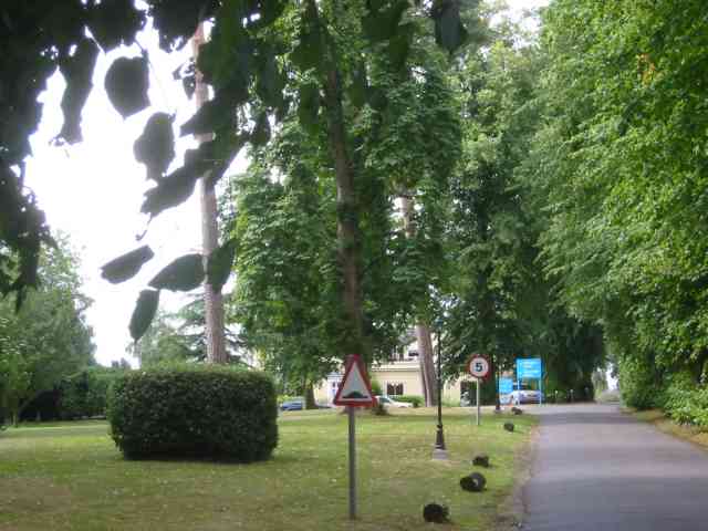
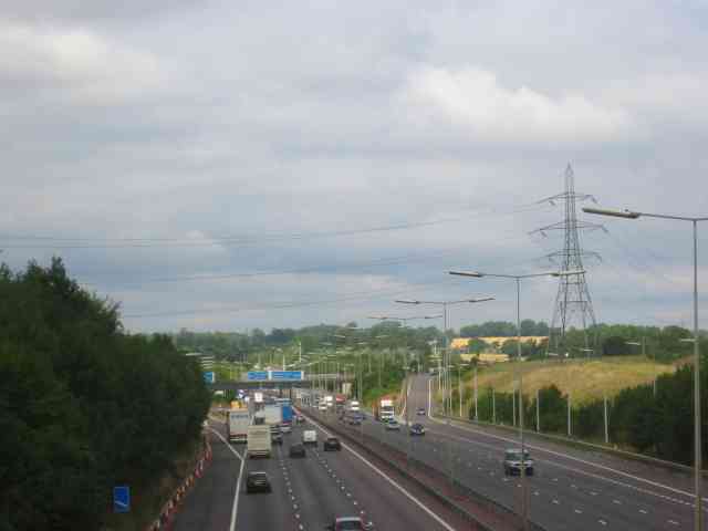
Smug Oak Images
Images are sourced within 2km of 51.706167/-0.35740938 or Grid Reference TL1302. Thanks to Geograph Open Source API. All images are credited.


Smug Oak is located at Grid Ref: TL1302 (Lat: 51.706167, Lng: -0.35740938)
Administrative County: Hertfordshire
District: St. Albans
Police Authority: Hertfordshire
What 3 Words
///zest.melt.given. Near Radlett, Hertfordshire
Nearby Locations
Related Wikis
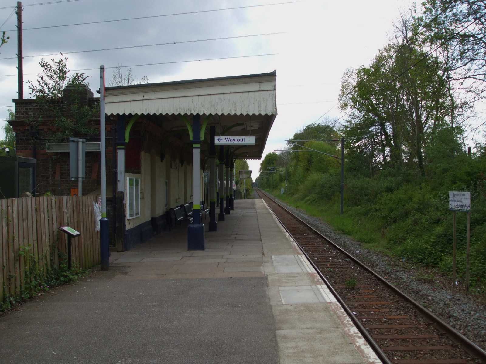
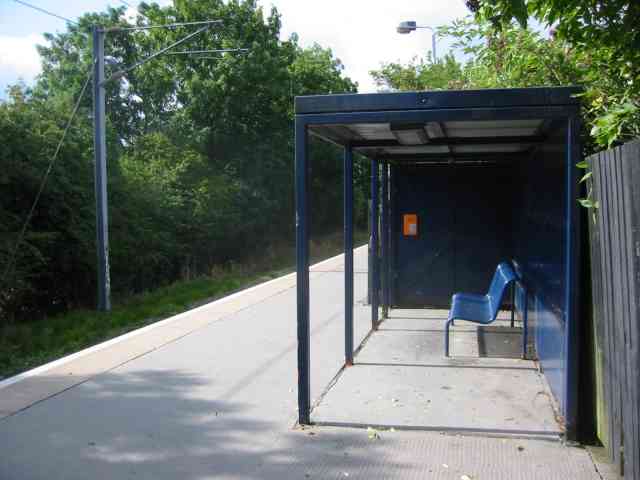
Bricket Wood railway station
Bricket Wood railway station is in the village of Bricket Wood, Hertfordshire, England, on the Abbey Line 31⁄4 miles (5 km) east of Watford Junction. The...

Abbey Line
The Abbey Line, also called the St Albans Abbey branch line, is a railway line from Watford Junction to St Albans Abbey. The 6.5-mile (10.5 km) route passes...

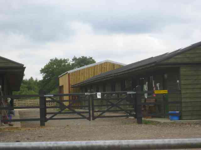
Hanstead Stud
The Hanstead Stud was a breeding farm in England for Arabian horses. It was active from 1928 to 1957, and its animals had a significant impact in many...
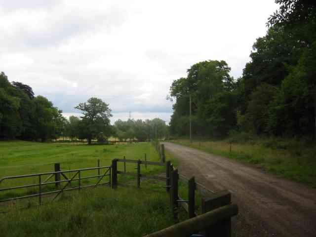
Hanstead House
Hanstead House or Hanstead Park is a country house estate in Hertfordshire, England. Hanstead is near Bricket Wood, about three miles from Radlett and...
Bricket Wood
Bricket Wood is a village in the county of Hertfordshire, England, 4.2 miles (6.8 km) south of St Albans city centre (though in said city's contiguous...

Moor Mill Quarry, West
Moor Mill Quarry, West is a 0.16-hectare (0.40-acre) geological Site of Special Scientific Interest in How Wood in Hertfordshire. The local planning authority...

River Ver
The Ver is a 28 km (17 mi) long chalk stream in Hertfordshire, England. It is a tributary of the River Colne. == Course == The source is in the grounds...
Bricket Wood coven
The Bricket Wood coven, or Hertfordshire coven is a coven of Gardnerian witches founded in the 1940s by Gerald Gardner. It is notable for being the first...
Nearby Amenities
Located within 500m of 51.706167,-0.35740938Have you been to Smug Oak?
Leave your review of Smug Oak below (or comments, questions and feedback).