St Stephen
Civil Parish in Hertfordshire St Albans
England
St Stephen

St Stephen is a civil parish located in Hertfordshire, England. It is situated approximately 20 miles north of London and falls within the boundaries of the St Albans City and District Council. The parish covers an area of around 10 square miles and is home to a population of approximately 15,000 residents.
St Stephen boasts a rich history, with evidence of human settlement dating back to the Roman era. The area was primarily rural until the 19th century when industrialization and urbanization began to shape its landscape. Today, it is a vibrant community with a mix of residential, commercial, and agricultural areas.
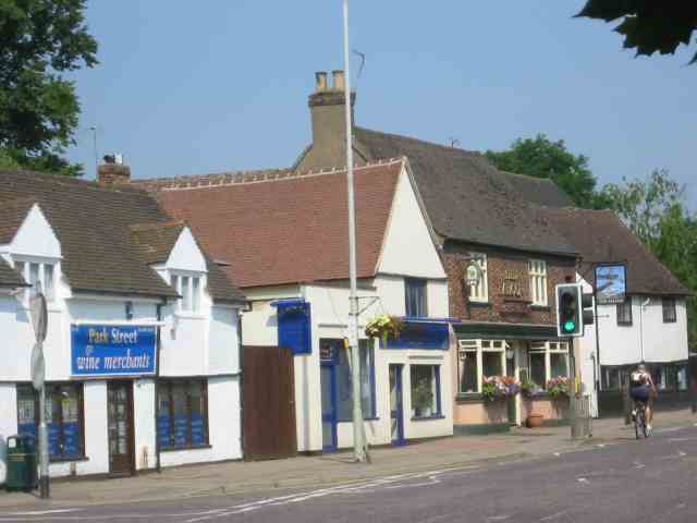
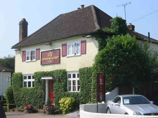
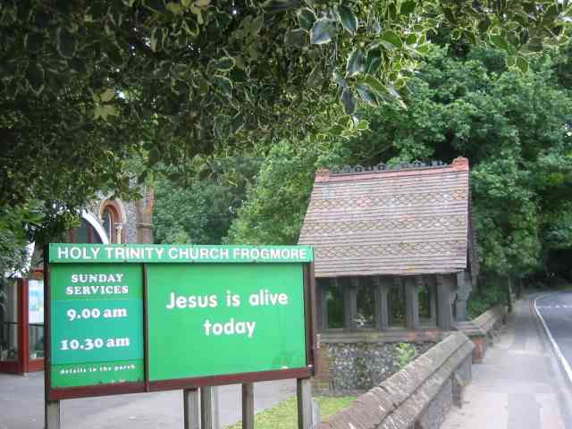
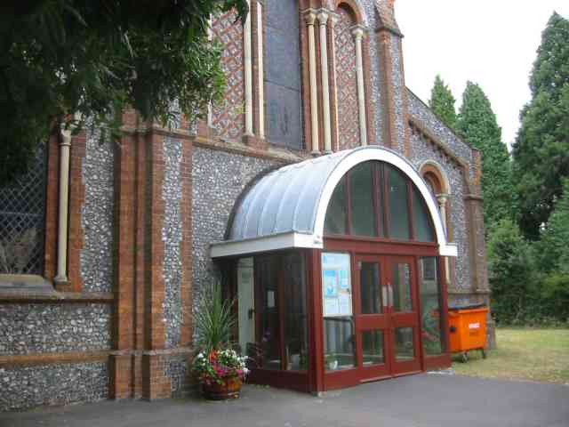
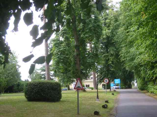
The parish is known for its picturesque countryside, which includes rolling hills, meadows, and woodlands. It is also home to a number of historic landmarks and buildings, such as St Stephen's Church, which dates back to the 12th century and is a Grade I listed building.
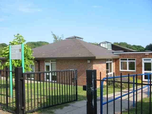
In terms of amenities, St Stephen offers a range of facilities to cater to its residents' needs. These include schools, healthcare services, recreational areas, and shops. The parish is well connected to nearby towns and cities by road and rail, making it a desirable location for commuters.
St Stephen hosts various community events throughout the year, including festivals, fairs, and charity fundraisers. It also has a strong sense of community spirit, with numerous local groups and organizations working together to enhance the quality of life for its residents.
Overall, St Stephen, Hertfordshire is a charming and diverse civil parish with a rich history and a strong sense of community.
If you have any feedback on the listing, please let us know in the comments section below.
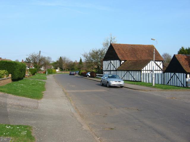
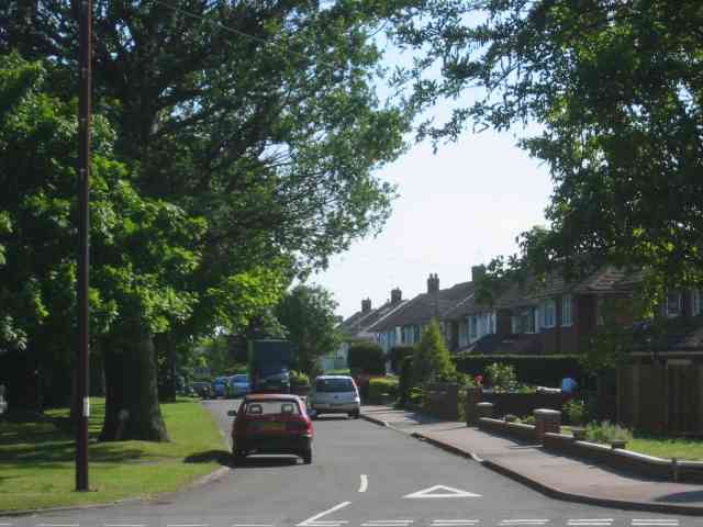
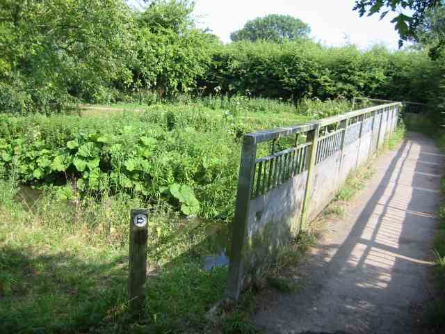
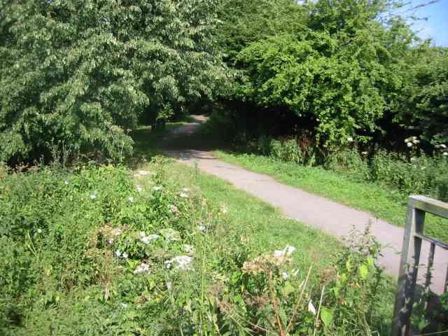
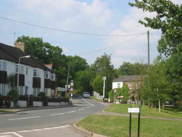
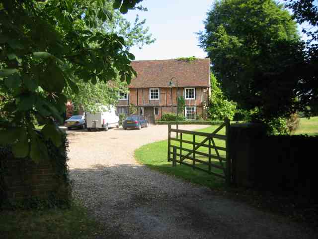
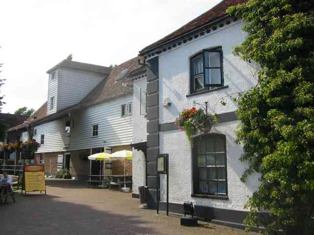
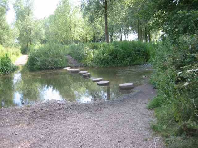
St Stephen Images
Images are sourced within 2km of 51.713892/-0.355186 or Grid Reference TL1302. Thanks to Geograph Open Source API. All images are credited.

St Stephen is located at Grid Ref: TL1302 (Lat: 51.713892, Lng: -0.355186)
Administrative County: Hertfordshire
District: St Albans
Police Authority: Hertfordshire
What 3 Words
///fingernails.couches.also. Near Radlett, Hertfordshire
Nearby Locations
Related Wikis

Spielplatz
Spielplatz (German for playground) is the longest-operating naturist resort in United Kingdom, and consists of 12 acres (4.9 ha) located in the village...

Moor Mill Quarry, West
Moor Mill Quarry, West is a 0.16-hectare (0.40-acre) geological Site of Special Scientific Interest in How Wood in Hertfordshire. The local planning authority...

How Wood
How Wood is a residential village, south of Park Street village between the centres of Watford and St Albans in St Stephen civil parish, Hertfordshire...
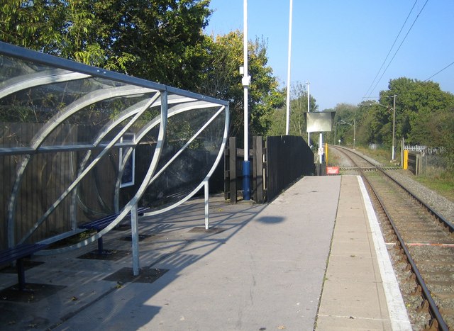
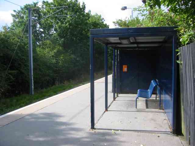
How Wood railway station
How Wood railway station is in the village of How Wood, Hertfordshire, England. It is the fourth station on the Abbey Line, 4+1⁄2 miles (7.2 km) from Watford...
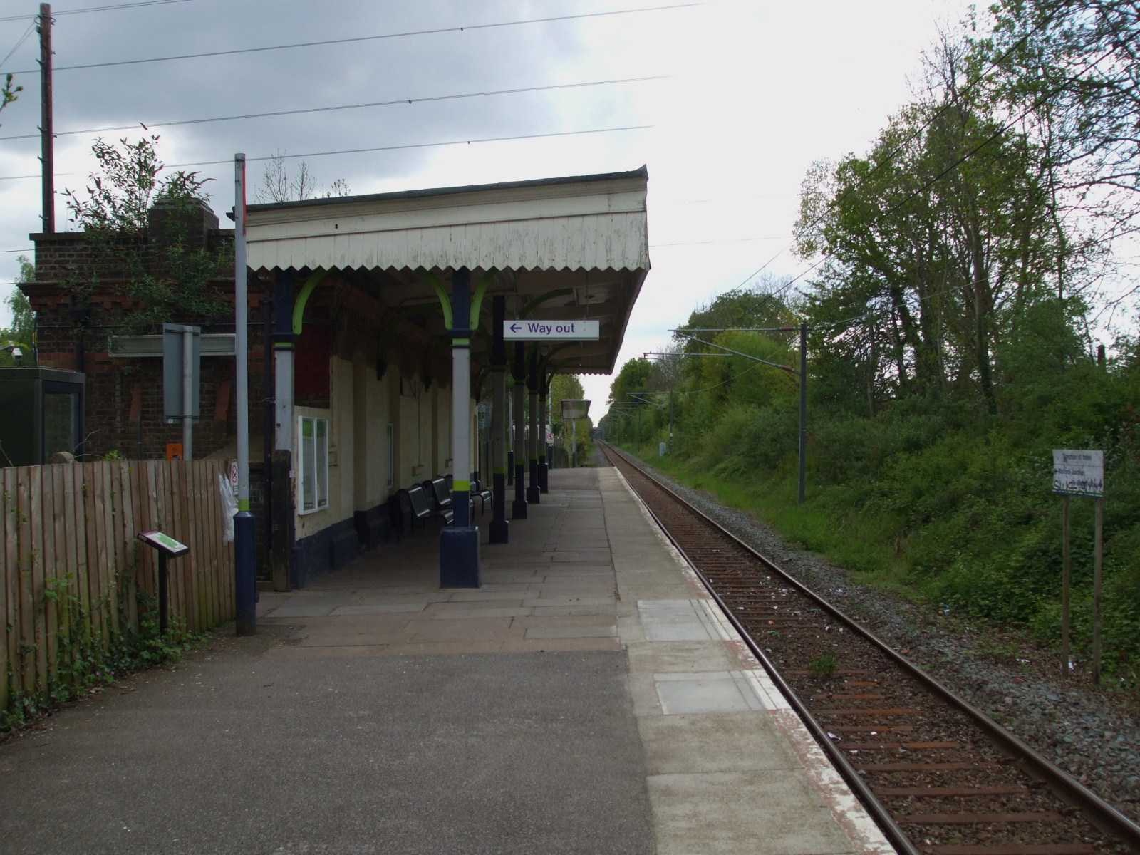
Bricket Wood railway station
Bricket Wood railway station is in the village of Bricket Wood, Hertfordshire, England, on the Abbey Line 31⁄4 miles (5 km) east of Watford Junction. The...
Bricket Wood coven
The Bricket Wood coven, or Hertfordshire coven is a coven of Gardnerian witches founded in the 1940s by Gerald Gardner. It is notable for being the first...

Abbey Line
The Abbey Line, also called the St Albans Abbey branch line, is a railway line from Watford Junction to St Albans Abbey. The 6.5-mile (10.5 km) route passes...
Hanstead Stud
The Hanstead Stud was a breeding farm in England for Arabian horses. It was active from 1928 to 1957, and its animals had a significant impact in many...
Nearby Amenities
Located within 500m of 51.713892,-0.355186Have you been to St Stephen?
Leave your review of St Stephen below (or comments, questions and feedback).