Little Wood
Wood, Forest in Surrey Mole Valley
England
Little Wood

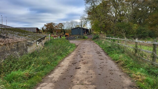
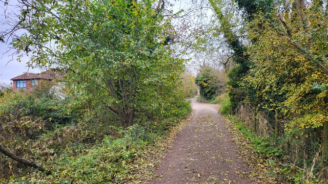
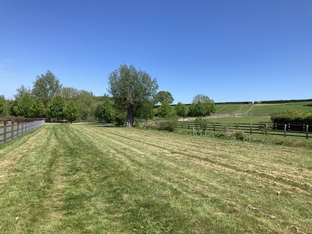
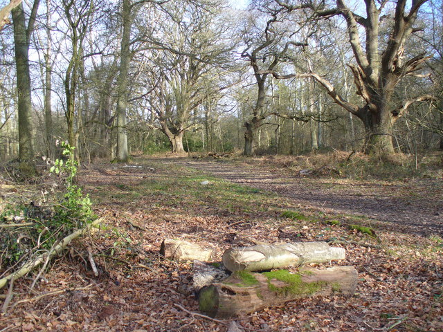
Little Wood is a picturesque area located in Surrey, England. Nestled amidst the stunning natural beauty of the county, it is a small woodland that covers an area of approximately 50 acres. Little Wood is situated in close proximity to the village of Wood, which adds to its charm and accessibility.
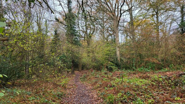
The woodland is predominantly composed of native tree species such as oak, beech, and birch, creating a diverse and vibrant ecosystem. The thick canopy of trees provides a haven for various wildlife species, including birds, squirrels, and deer. Walking through Little Wood, one can often hear the melodious chirping of birds and the rustling of leaves, immersing visitors in a serene and tranquil atmosphere.
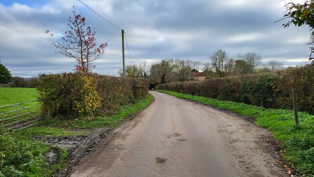
The woodland is crisscrossed with well-maintained footpaths, making it an ideal location for leisurely strolls and nature walks. It attracts numerous nature enthusiasts, hikers, and families looking to escape the hustle and bustle of urban life and enjoy the peacefulness and serenity that Little Wood has to offer.
Aside from its natural beauty, Little Wood also serves as an important educational resource for schools and environmental organizations. It provides an opportunity for individuals of all ages to learn about the importance of conservation and the delicate balance of ecosystems.
Little Wood is a cherished gem in Surrey, offering a respite from the chaos of everyday life and providing an enchanting experience for those who venture into its embrace.
If you have any feedback on the listing, please let us know in the comments section below.
Little Wood Images
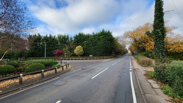
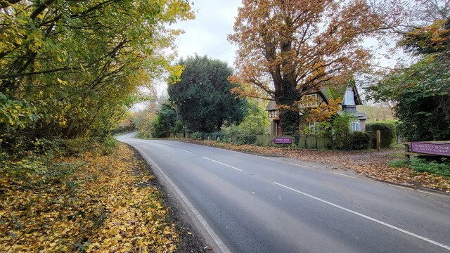
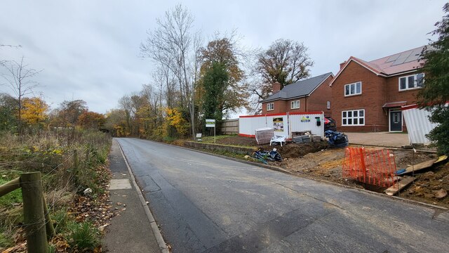
Images are sourced within 2km of 51.306803/-0.37166485 or Grid Reference TQ1357. Thanks to Geograph Open Source API. All images are credited.


Little Wood is located at Grid Ref: TQ1357 (Lat: 51.306803, Lng: -0.37166485)
Administrative County: Surrey
District: Mole Valley
Police Authority: Surrey
What 3 Words
///ruins.spoke.powder. Near Leatherhead, Surrey
Nearby Locations
Related Wikis
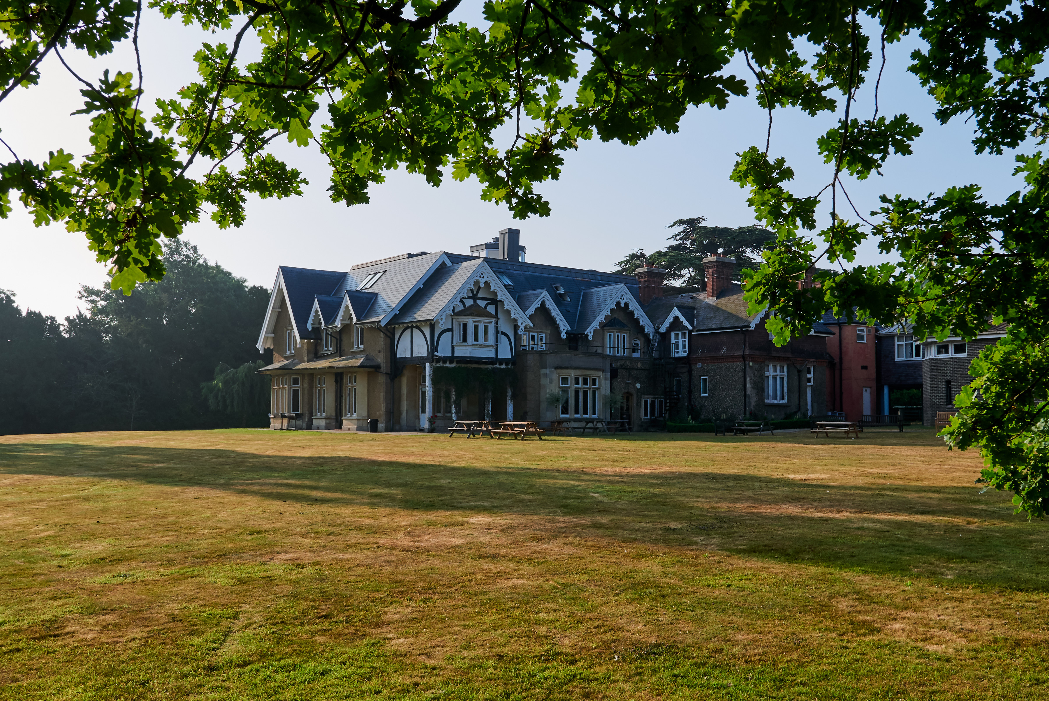
Yehudi Menuhin School
The Yehudi Menuhin School is a specialist music school in Stoke d'Abernon, Surrey, England, founded in 1963 by violinist and conductor Yehudi Menuhin....

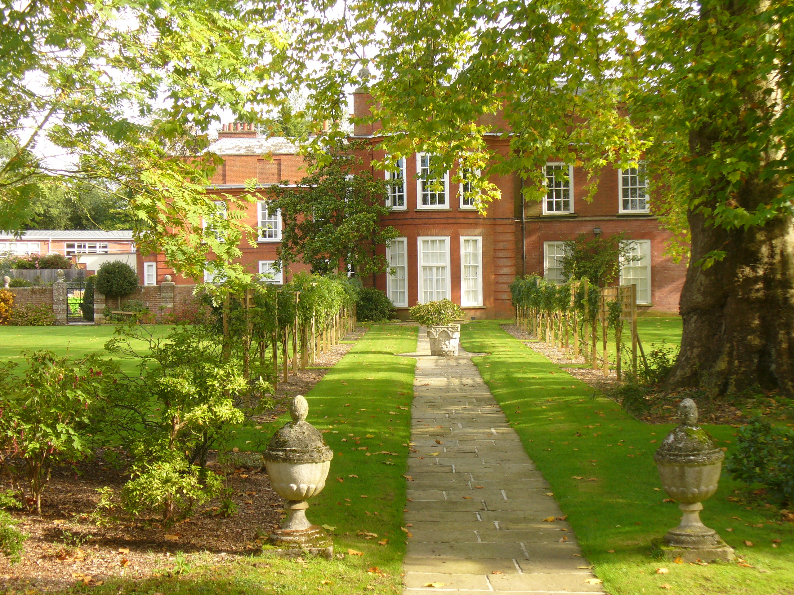
Bookham Lodge
The Grange is a gothic regency manor house in Stoke d'Abernon, Surrey that dates back to the 15th Century. It was part of the Eastwick Manor estate and...
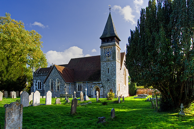
St Mary's Church, Stoke d'Abernon
The Church of St Mary is an Anglican church in the village of Stoke d'Abernon, Surrey, in the Diocese of Guildford. The church, the oldest parts of which...
Parkside School, Cobham
Parkside School is a private preparatory school located in Cobham. Founded in 1879, the school caters for boys aged 2 to 13 and for girls in the nursery...
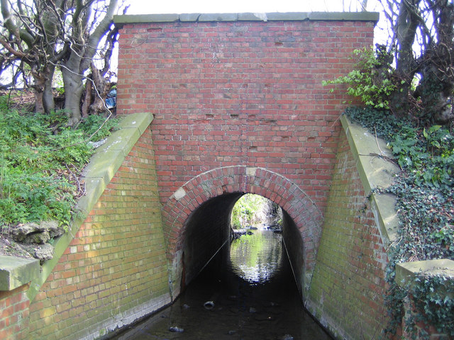
The Rye (brook)
The Rye is a stream rising east of Ashtead and flowing into the River Mole near Leatherhead, Surrey. == Course == The Rye Brook flows westwards across...
Bookham Commons
Bookham Commons are two commons, situated just to the north of the villages of Great Bookham and Little Bookham, in Surrey, England, 154.7 hectares (382...

Cobham Training Centre
The Cobham Training Centre, is the training ground of Chelsea Football Club located in the village of Stoke d'Abernon near the village of Cobham, Surrey...

Cobham & Stoke d'Abernon railway station
Cobham & Stoke d'Abernon railway station is in the village of Stoke d'Abernon in Surrey, England and also serves the nearby town of Cobham. It is 18 miles...
Nearby Amenities
Located within 500m of 51.306803,-0.37166485Have you been to Little Wood?
Leave your review of Little Wood below (or comments, questions and feedback).