Shipdens Holt

Wood, Forest in Sussex Worthing

England

Shipdens Holt

Border of the Southdown National Park Footpath next to a Hill Barn Golf Club.

Park info : <span class="nowrap"><a title="https://en.wikipedia.org/wiki/South_Downs_National_Park" rel="nofollow ugc noopener" href="https://en.wikipedia.org/wiki/South_Downs_National_Park">Link</a><img style="margin-left:2px;" alt="External link" title="External link - shift click to open in new window" src="https://s1.geograph.org.uk/img/external.png" width="10" height="10"/></span>
Border of the Southdown National Park Credit: James Emmans

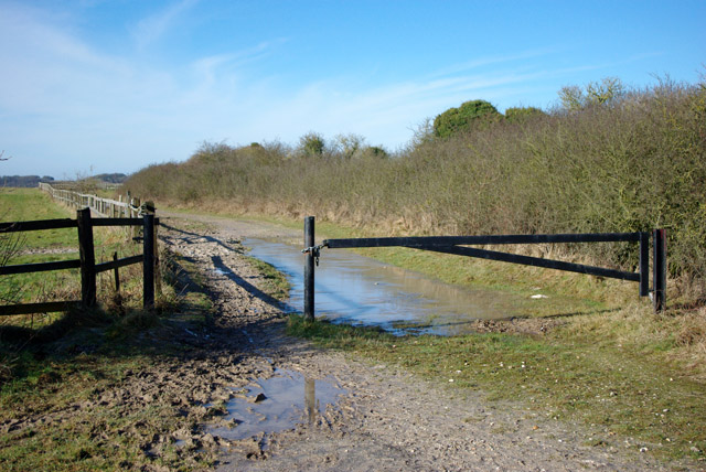
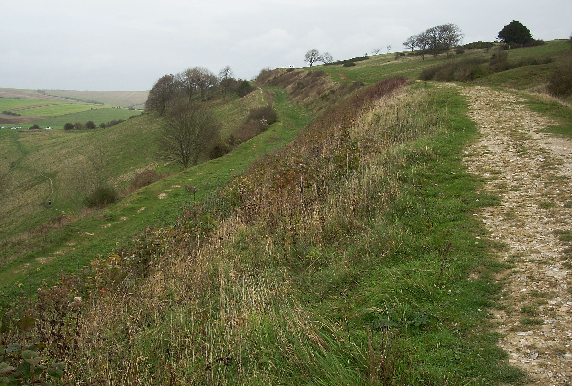
Shipdens Holt is a small woodland area located in Sussex, England. It is situated near the village of Shipden, and covers an area of approximately 50 acres. The woodland is predominantly made up of mixed deciduous trees, including oak, beech, and ash, creating a picturesque and diverse landscape.

Shipdens Holt is known for its rich biodiversity, providing a habitat for a wide range of plant and animal species. The forest floor is covered in a lush carpet of bluebells during the spring months, creating a stunning display of color. This attracts a variety of insects, such as butterflies and bees, which are essential for pollination.

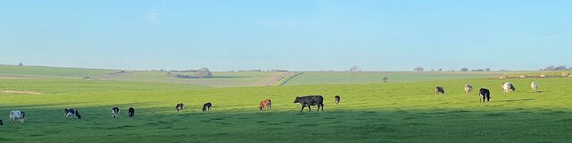
The woodland is also home to a number of bird species, including woodpeckers, thrushes, and owls. These birds find shelter and nesting sites among the dense foliage and tall trees. Additionally, mammals like deer, foxes, and squirrels can be observed in the area, making it a popular spot for wildlife enthusiasts and photographers.

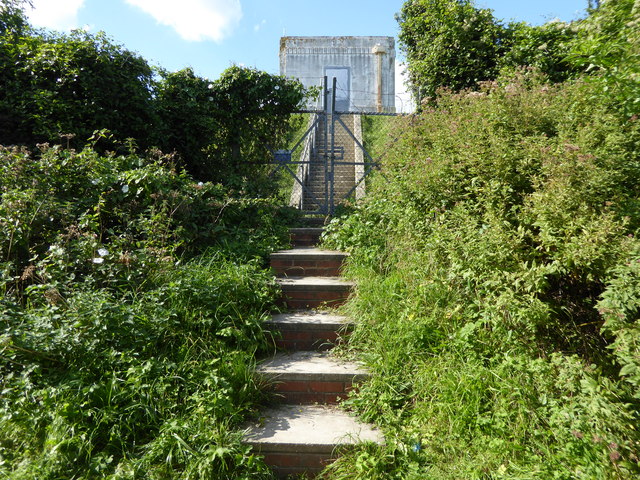
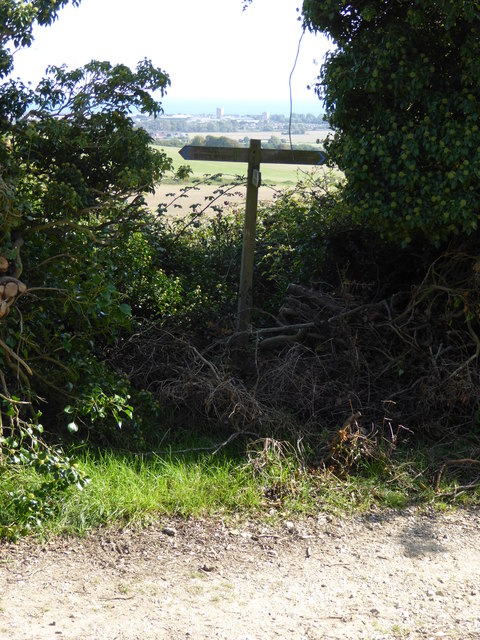
Shipdens Holt offers numerous walking trails and paths, allowing visitors to explore the woodland and appreciate its natural beauty. The peaceful and tranquil atmosphere makes it an ideal destination for nature lovers and those seeking a break from the hustle and bustle of everyday life.

Overall, Shipdens Holt is a charming and idyllic woodland in Sussex, offering a haven for diverse wildlife and providing a serene escape for visitors.

If you have any feedback on the listing, please let us know in the comments section below.

Shipdens Holt Images

Images are sourced within 2km of 50.856577/-0.3873667 or Grid Reference TQ1307. Thanks to Geograph Open Source API. All images are credited.

Border of the Southdown National Park Footpath next to a Hill Barn Golf Club.

Park info : <span class="nowrap"><a title="https://en.wikipedia.org/wiki/South_Downs_National_Park" rel="nofollow ugc noopener" href="https://en.wikipedia.org/wiki/South_Downs_National_Park">Link</a><img style="margin-left:2px;" alt="External link" title="External link - shift click to open in new window" src="https://s1.geograph.org.uk/img/external.png" width="10" height="10"/></span>
Border of the Southdown National Park
Footpath next to a Hill Barn Golf Club. Park info : LinkExternal link
Cattle in Canada Bottom - view to the NW This is a cross-grid shot. The camera was in the square to the east.
Cattle in Canada Bottom - view to the NW
This is a cross-grid shot. The camera was in the square to the east.
View west across Nepcote Green The building on the left is the Wattle House. It dates from the end of the 1700s when it was used to store wattle hurdles for the sheep pens used during the annual sheep fair. [<span class="nowrap"><a title="https://fancyfreewalks.org/W.Sussex/Findon.pdf" rel="nofollow ugc noopener" href="https://fancyfreewalks.org/W.Sussex/Findon.pdf">Link</a><img style="margin-left:2px;" alt="External link" title="External link - shift click to open in new window" src="https://s1.geograph.org.uk/img/external.png" width="10" height="10"/></span>]
View west across Nepcote Green
The building on the left is the Wattle House. It dates from the end of the 1700s when it was used to store wattle hurdles for the sheep pens used during the annual sheep fair. [LinkExternal link]
Steps to building on reservoir
Sign at footpath junction on Charmandean Lane This footpath has not yet made it onto OS mapping - see also <a href="https://www.geograph.org.uk/photo/4675953">TQ1405 : Looking north on Charmandean Lane</a>.
Sign at footpath junction on Charmandean Lane
This footpath has not yet made it onto OS mapping - see also TQ1405 : Looking north on Charmandean Lane.
Cissbury Ring
Cissbury Ring
The Village House, Findon One of four pubs in the village of Findon and dates from the 16th century.
The Village House, Findon
One of four pubs in the village of Findon and dates from the 16th century.
Riding on the downs above Findon There are some horse establishments at the bottom of the hill.
Riding on the downs above Findon
There are some horse establishments at the bottom of the hill.
Stable muck Probably hauled up from stables at Findon.
Stable muck
Probably hauled up from stables at Findon.
Downs above Findon The communications mast is on the other side of the valley used by the A24.
Downs above Findon
The communications mast is on the other side of the valley used by the A24.
Bridleway north from Cissbury Ring The clay with flints capping parts of the downs can get very messy in winter.
Bridleway north from Cissbury Ring
The clay with flints capping parts of the downs can get very messy in winter.
Barrier on bridleway At a junction of public ways, the other are byways.
Barrier on bridleway
At a junction of public ways, the other are byways.
Track to Findon Park Farm The sign says that it is not a public right of way, which is quite true.
Track to Findon Park Farm
The sign says that it is not a public right of way, which is quite true.
Gravel  track  to  Cissbury  Barns Wedding receptions etc, excellent.
Gravel track to Cissbury Barns
Wedding receptions etc, excellent.
Cissbury  Barns  for  a wedding or  a  large  do In my case my nephews wedding reception. The barns are converted to a high standard, they are well off the road and I am glad we had a taxi back to our hotel in Horsham!
Cissbury Barns for a wedding or a large do
In my case my nephews wedding reception. The barns are converted to a high standard, they are well off the road and I am glad we had a taxi back to our hotel in Horsham!
Cissbury Ring: the eastern entrance Seen in rather gloomy conditions in early April.     The view is roughly ENE, with Truleigh Hill the highest point on the distant horizon.

The close-cropped turf is the result of grazing by ponies - perhaps introduced since Simon Carey was here in the summer of 2013: <a title="https://www.geograph.org.uk/photo/3551947" href="https://www.geograph.org.uk/photo/3551947">Link</a>
Cissbury Ring: the eastern entrance
Seen in rather gloomy conditions in early April. The view is roughly ENE, with Truleigh Hill the highest point on the distant horizon. The close-cropped turf is the result of grazing by ponies - perhaps introduced since Simon Carey was here in the summer of 2013: Link
Cissbury Ring: view along the ramparts from the southern entrance Here I'm standing in the ditch between the great inner rampart of the hill-fort and the lesser outer bank, looking north-east.  On this south-east-facing flank of Cissbury the fortifications run in pretty much a straight line for about 450m.

You might imagine that the photo was taken in the dead of winter, rather than (as it was) in early April.  We saw very few signs of spring up here, high on the Downs - a few violets in flower, buds opening on the wayfaring tree.

Simon Carey was here before me, and in kinder weather: <a href="https://www.geograph.org.uk/photo/3551933">TQ1307 : Ramparts, Cissbury Ring</a>
Cissbury Ring: view along the ramparts from the southern entrance
Here I'm standing in the ditch between the great inner rampart of the hill-fort and the lesser outer bank, looking north-east. On this south-east-facing flank of Cissbury the fortifications run in pretty much a straight line for about 450m. You might imagine that the photo was taken in the dead of winter, rather than (as it was) in early April. We saw very few signs of spring up here, high on the Downs - a few violets in flower, buds opening on the wayfaring tree. Simon Carey was here before me, and in kinder weather: TQ1307 : Ramparts, Cissbury Ring
Cissbury Ring: ponies grazing near the southern entrance Ponies have been brought in to graze the area enclosed by the fort - with the intention, no doubt, of preventing grassland from running away to scrub.  All the animals seemed to be hungry - they were munching away non-stop, cropping the scant new growth on grass that was already very short.
Cissbury Ring: ponies grazing near the southern entrance
Ponies have been brought in to graze the area enclosed by the fort - with the intention, no doubt, of preventing grassland from running away to scrub. All the animals seemed to be hungry - they were munching away non-stop, cropping the scant new growth on grass that was already very short.
Show me another place!

Shipdens Holt is located at Grid Ref: TQ1307 (Lat: 50.856577, Lng: -0.3873667)

Administrative County: West Sussex

District: Worthing

Police Authority: Sussex

What 3 Words

///something.opponent.tightest. Near Findon, West Sussex

Related Wikis

Worthing Downland Estate

The Worthing Downland Estate, Worthing Downs or Worthing Downland, is an area of land in the South Downs National Park in West Sussex, England, close to...

Cissbury Ring

Cissbury Ring is an 84.2-hectare (208-acre) biological Site of Special Scientific Interest north of Worthing in West Sussex. It is owned by the National...

Cissbury (electoral division)

Cissbury is an electoral division of West Sussex in the United Kingdom, and returns one member to sit on West Sussex County Council. == Extent == The division...

Findon Valley

Findon Valley is a neighbourhood of Worthing, in the borough of Worthing in West Sussex, England. It lies on the A24 road 2.9 miles (4.7 km) north of the...

Nearby Amenities

Located within 500m of 50.856577,-0.3873667
Bench
Lat/Long: 50.8594615/-0.3884708
Barrier: kissing_gate
Lat/Long: 50.8596386/-0.3883956
Golf: pin
Lat/Long: 50.8547328/-0.3814929
The data included in this document is from www.openstreetmap.org. The data is made available under ODbL.

Have you been to Shipdens Holt?

Leave your review of Shipdens Holt below (or comments, questions and feedback).