Sheepcombe Hanger

Wood, Forest in Sussex Worthing

England

Sheepcombe Hanger

Border of the Southdown National Park Footpath next to a Hill Barn Golf Club.

Park info : <span class="nowrap"><a title="https://en.wikipedia.org/wiki/South_Downs_National_Park" rel="nofollow ugc noopener" href="https://en.wikipedia.org/wiki/South_Downs_National_Park">Link</a><img style="margin-left:2px;" alt="External link" title="External link - shift click to open in new window" src="https://s1.geograph.org.uk/img/external.png" width="10" height="10"/></span>
Border of the Southdown National Park Credit: James Emmans

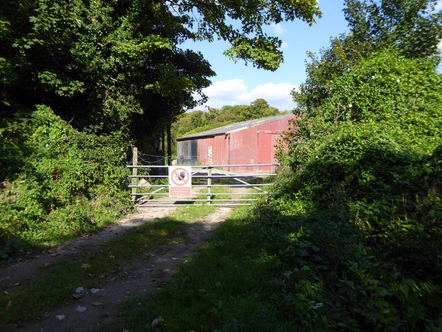
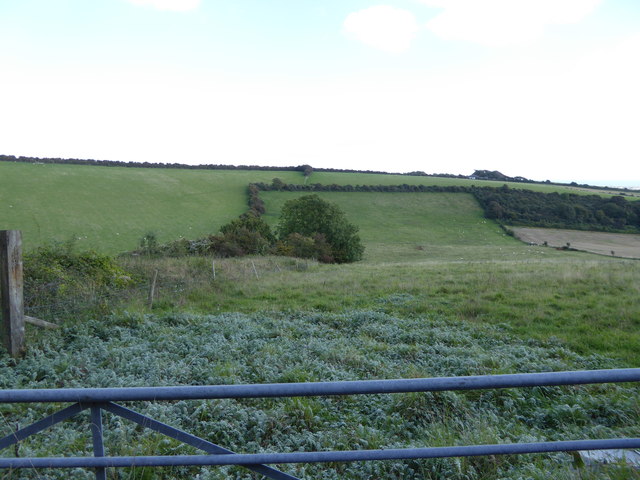
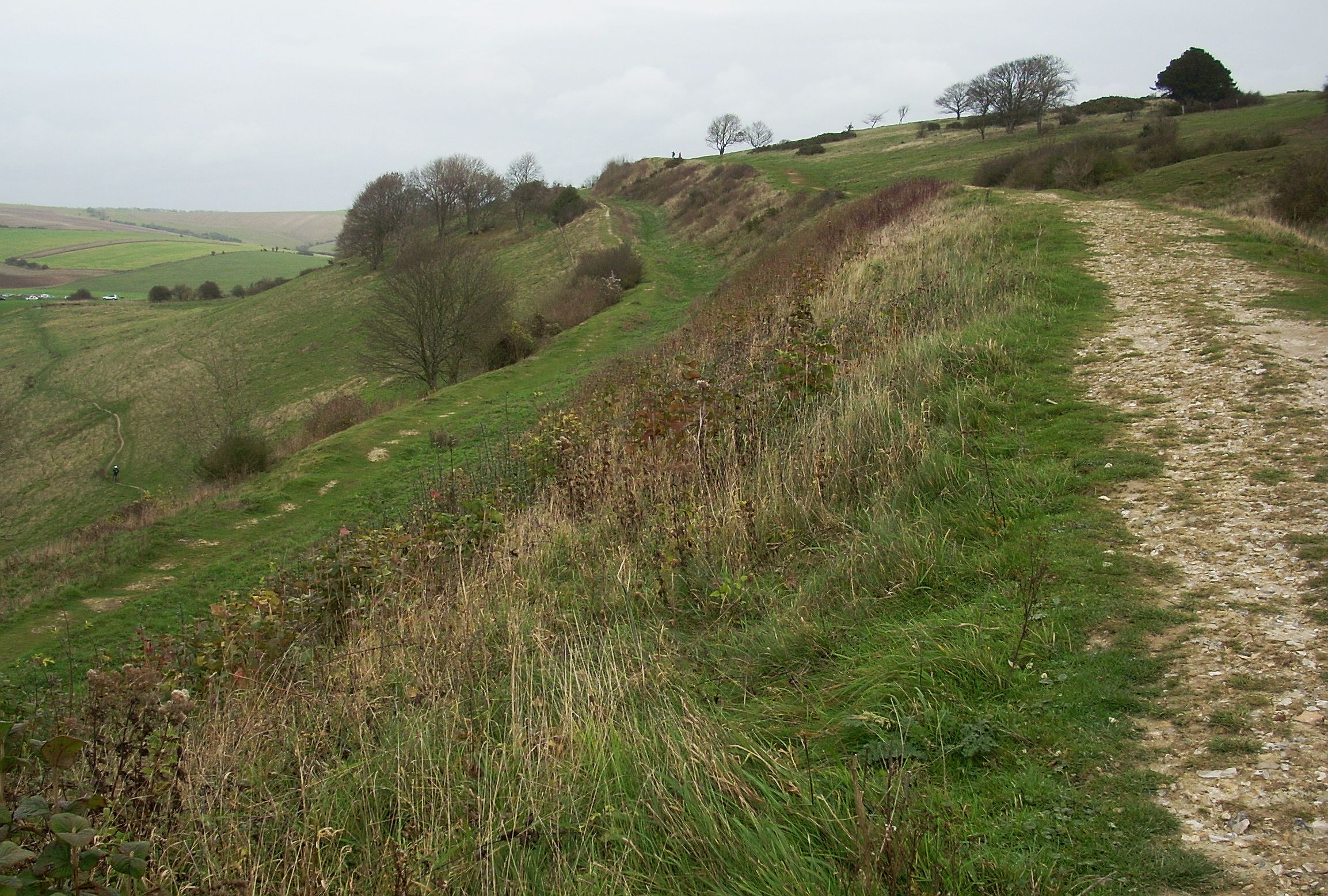
Sheepcombe Hanger is a picturesque woodland area located in Sussex, England. Covering an area of approximately 100 acres, it is known for its stunning natural beauty and diverse range of flora and fauna.

The hanger is primarily composed of mature broadleaf trees, including oak, beech, and ash, creating a dense and lush forest canopy. These trees provide a habitat for various species of birds, such as woodpeckers, owls, and thrushes, making it a popular destination for birdwatching enthusiasts.

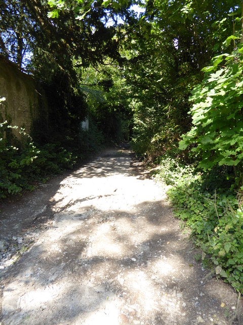
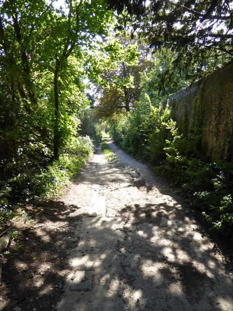
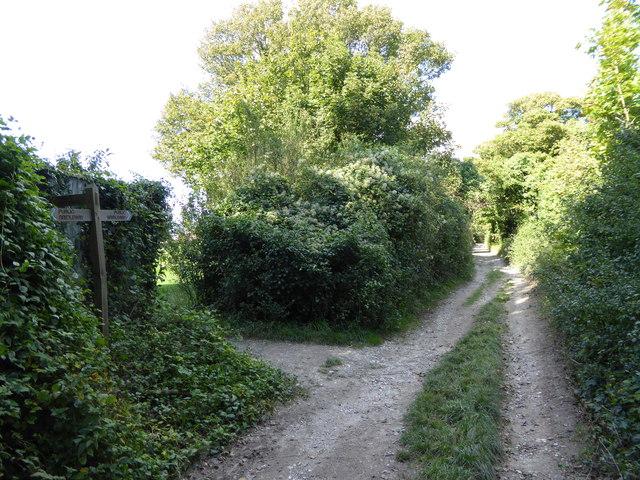
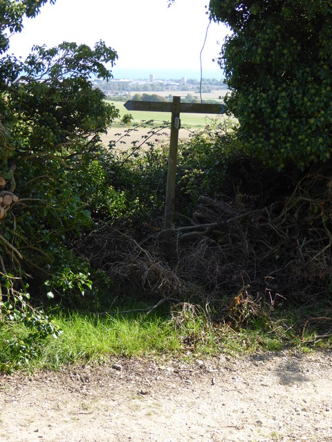
The forest floor is carpeted with a rich undergrowth of ferns, bluebells, and wild garlic, adding to the enchanting atmosphere of the hanger. Walking trails meander through the woods, allowing visitors to explore the area and immerse themselves in the tranquility of nature.

Sheepcombe Hanger is also home to a diverse range of wildlife. Deer, foxes, and badgers are frequently spotted roaming through the woods, while the nearby streams and ponds are inhabited by frogs, newts, and dragonflies.

The hanger is open to the public year-round, offering a range of activities for outdoor enthusiasts. Hiking, picnicking, and nature photography are popular pursuits, allowing visitors to connect with the natural environment and escape the hustle and bustle of everyday life.

Overall, Sheepcombe Hanger is a haven of natural beauty and biodiversity in Sussex. Its dense woodland, diverse wildlife, and tranquil atmosphere make it a must-visit destination for nature lovers and those seeking a peaceful retreat in the heart of the countryside.

If you have any feedback on the listing, please let us know in the comments section below.

Sheepcombe Hanger Images

Images are sourced within 2km of 50.852648/-0.38683445 or Grid Reference TQ1307. Thanks to Geograph Open Source API. All images are credited.
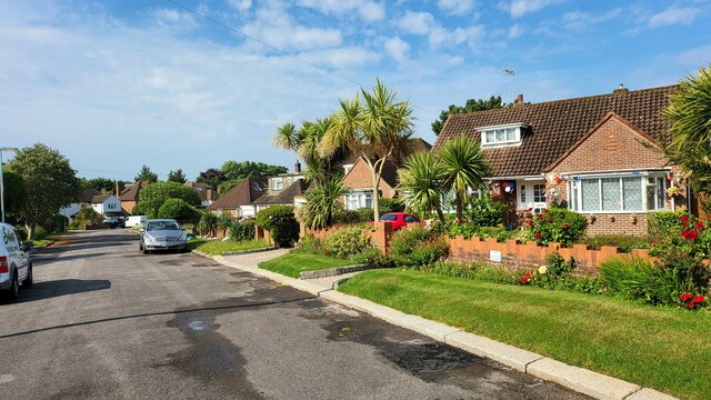
Border of the Southdown National Park Footpath next to a Hill Barn Golf Club.

Park info : <span class="nowrap"><a title="https://en.wikipedia.org/wiki/South_Downs_National_Park" rel="nofollow ugc noopener" href="https://en.wikipedia.org/wiki/South_Downs_National_Park">Link</a><img style="margin-left:2px;" alt="External link" title="External link - shift click to open in new window" src="https://s1.geograph.org.uk/img/external.png" width="10" height="10"/></span>
Border of the Southdown National Park
Footpath next to a Hill Barn Golf Club. Park info : LinkExternal link
Bungalows in Hillside Avenue Housing on the edge of Worthing.
Bungalows in Hillside Avenue
Housing on the edge of Worthing.
Cattle in Canada Bottom - view to the NW This is a cross-grid shot. The camera was in the square to the east.
Cattle in Canada Bottom - view to the NW
This is a cross-grid shot. The camera was in the square to the east.
View west across Nepcote Green The building on the left is the Wattle House. It dates from the end of the 1700s when it was used to store wattle hurdles for the sheep pens used during the annual sheep fair. [<span class="nowrap"><a title="https://fancyfreewalks.org/W.Sussex/Findon.pdf" rel="nofollow ugc noopener" href="https://fancyfreewalks.org/W.Sussex/Findon.pdf">Link</a><img style="margin-left:2px;" alt="External link" title="External link - shift click to open in new window" src="https://s1.geograph.org.uk/img/external.png" width="10" height="10"/></span>]
View west across Nepcote Green
The building on the left is the Wattle House. It dates from the end of the 1700s when it was used to store wattle hurdles for the sheep pens used during the annual sheep fair. [LinkExternal link]
Looking north beside the wall on Charmandean Lane There are houses behind the wall but a little farther north the lane, which is a bridleway, leaves them behind.
Looking north beside the wall on Charmandean Lane
There are houses behind the wall but a little farther north the lane, which is a bridleway, leaves them behind.
Looking south on Charmandean Lane The houses on Longlands are behind the wall.
Looking south on Charmandean Lane
The houses on Longlands are behind the wall.
Red barn by Charmandean Lane
Looking north on Charmandean Lane The footpath signed on the left is on the edge of Hill Barn Golf Club.  It has not yet made its way onto OS mapping.
Looking north on Charmandean Lane
The footpath signed on the left is on the edge of Hill Barn Golf Club. It has not yet made its way onto OS mapping.
Steps to building on reservoir
Sign at footpath junction on Charmandean Lane This footpath has not yet made it onto OS mapping - see also <a href="https://www.geograph.org.uk/photo/4675953">TQ1405 : Looking north on Charmandean Lane</a>.
Sign at footpath junction on Charmandean Lane
This footpath has not yet made it onto OS mapping - see also TQ1405 : Looking north on Charmandean Lane.
Looking east across downland valley
West Way looking north
The eastern end of West Way at the junction with Salvington Hill
Looking into Lowther Road
Cissbury Ring
Cissbury Ring
Riding on the downs above Findon There are some horse establishments at the bottom of the hill.
Riding on the downs above Findon
There are some horse establishments at the bottom of the hill.
Stable muck Probably hauled up from stables at Findon.
Stable muck
Probably hauled up from stables at Findon.
Downs above Findon The communications mast is on the other side of the valley used by the A24.
Downs above Findon
The communications mast is on the other side of the valley used by the A24.
Show me another place!

Sheepcombe Hanger is located at Grid Ref: TQ1307 (Lat: 50.852648, Lng: -0.38683445)

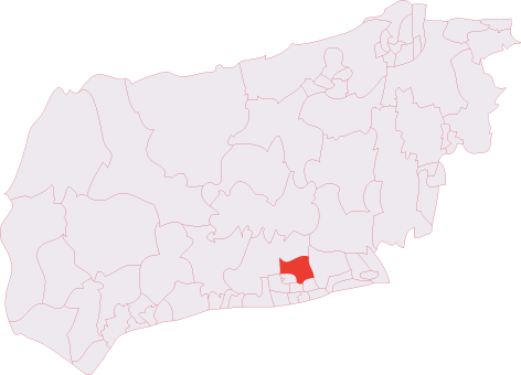
Administrative County: West Sussex

District: Worthing

Police Authority: Sussex

What 3 Words

///foot.remaining.guests. Near Findon, West Sussex

Related Wikis

Cissbury (electoral division)

Cissbury is an electoral division of West Sussex in the United Kingdom, and returns one member to sit on West Sussex County Council. == Extent == The division...

Findon Valley

Findon Valley is a neighbourhood of Worthing, in the borough of Worthing in West Sussex, England. It lies on the A24 road 2.9 miles (4.7 km) north of the...

Worthing Downland Estate

The Worthing Downland Estate, Worthing Downs or Worthing Downland, is an area of land in the South Downs National Park in West Sussex, England, close to...

Cissbury Ring

Cissbury Ring is an 84.2-hectare (208-acre) biological Site of Special Scientific Interest north of Worthing in West Sussex. It is owned by the National...

Nearby Amenities

Located within 500m of 50.852648,-0.38683445
Generator Method: photovoltaic
Generator Output Electricity: yes
Generator Source: solar
Generator Type: solar_photovoltaic_panel
Location: roof
Power: generator
Lat/Long: 50.8535301/-0.3932491
Golf: pin
Lat/Long: 50.8515031/-0.3830569
Golf: pin
Lat/Long: 50.852571/-0.3833335
Golf: pin
Lat/Long: 50.8507381/-0.3804433
Golf: pin
Lat/Long: 50.850277/-0.3808634
Golf: pin
Lat/Long: 50.8547328/-0.3814929
Post Box
Brand: Royal Mail
Brand Wikidata: Q638098
Operator: Royal Mail
Operator Wikidata: Q638098
Lat/Long: 50.8503522/-0.3928478
The data included in this document is from www.openstreetmap.org. The data is made available under ODbL.

Have you been to Sheepcombe Hanger?

Leave your review of Sheepcombe Hanger below (or comments, questions and feedback).