Vineyard Hill

Hill, Mountain in Sussex Worthing

England

Vineyard Hill

Border of the Southdown National Park Footpath next to a Hill Barn Golf Club.

Park info : <span class="nowrap"><a title="https://en.wikipedia.org/wiki/South_Downs_National_Park" rel="nofollow ugc noopener" href="https://en.wikipedia.org/wiki/South_Downs_National_Park">Link</a><img style="margin-left:2px;" alt="External link" title="External link - shift click to open in new window" src="https://s1.geograph.org.uk/img/external.png" width="10" height="10"/></span>
Border of the Southdown National Park Credit: James Emmans

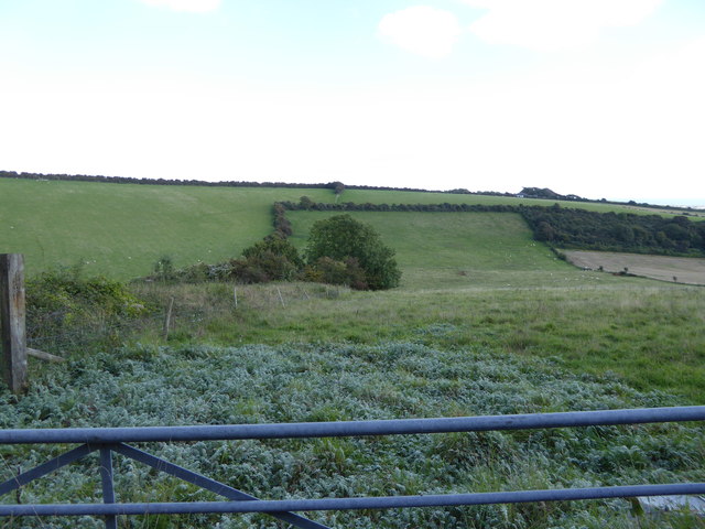
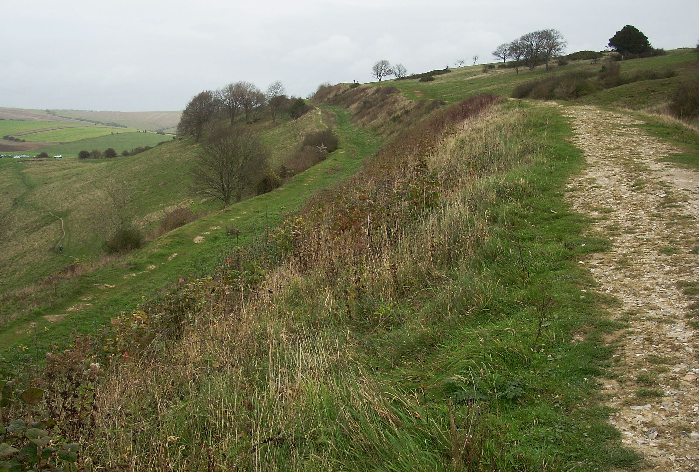
Vineyard Hill, situated in the county of Sussex, England, is a prominent hill or mountain that offers breathtaking views and a serene environment for nature enthusiasts and hikers. Standing at an elevation of approximately 150 meters (492 feet), it is one of the highest points in the region, providing panoramic vistas of the surrounding picturesque landscape.

The hill derives its name from the vineyards that were once cultivated on its slopes, a testament to the area's history of wine production. Although the vineyards are no longer in operation, the name has endured, adding to the hill's charm and character.

Vineyard Hill boasts a diverse range of flora and fauna, with its slopes covered in lush greenery, including oak and beech trees, creating a haven for wildlife. It is not uncommon to spot various species of birds, small mammals, and even the occasional deer while exploring the hill's trails.

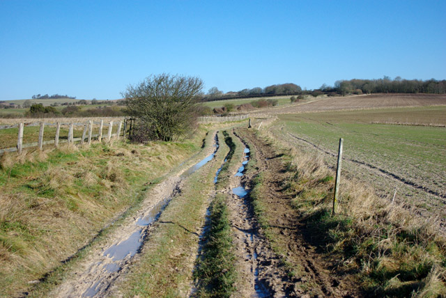
For outdoor enthusiasts, Vineyard Hill offers a network of footpaths and trails that wind through its landscape, allowing visitors to explore its natural beauty at their own pace. The hill is a popular destination for hikers, joggers, and dog walkers, seeking both exercise and tranquility.

The hill's strategic location and commanding views make it a popular spot for photography, attracting both amateur and professional photographers. The changing seasons bring a kaleidoscope of colors, from vibrant spring blooms to golden autumn foliage, making Vineyard Hill a captivating subject for capturing nature's beauty.

Vineyard Hill, with its rich history, stunning vistas, and abundant wildlife, is a must-visit destination for those seeking a peaceful retreat and a chance to connect with nature in the heart of Sussex.

If you have any feedback on the listing, please let us know in the comments section below.

Vineyard Hill Images

Images are sourced within 2km of 50.853355/-0.38394023 or Grid Reference TQ1307. Thanks to Geograph Open Source API. All images are credited.

Border of the Southdown National Park Footpath next to a Hill Barn Golf Club.

Park info : <span class="nowrap"><a title="https://en.wikipedia.org/wiki/South_Downs_National_Park" rel="nofollow ugc noopener" href="https://en.wikipedia.org/wiki/South_Downs_National_Park">Link</a><img style="margin-left:2px;" alt="External link" title="External link - shift click to open in new window" src="https://s1.geograph.org.uk/img/external.png" width="10" height="10"/></span>
Border of the Southdown National Park
Footpath next to a Hill Barn Golf Club. Park info : LinkExternal link
Bungalows in Hillside Avenue Housing on the edge of Worthing.
Bungalows in Hillside Avenue
Housing on the edge of Worthing.
Cattle in Canada Bottom - view to the NW This is a cross-grid shot. The camera was in the square to the east.
Cattle in Canada Bottom - view to the NW
This is a cross-grid shot. The camera was in the square to the east.
View west across Nepcote Green The building on the left is the Wattle House. It dates from the end of the 1700s when it was used to store wattle hurdles for the sheep pens used during the annual sheep fair. [<span class="nowrap"><a title="https://fancyfreewalks.org/W.Sussex/Findon.pdf" rel="nofollow ugc noopener" href="https://fancyfreewalks.org/W.Sussex/Findon.pdf">Link</a><img style="margin-left:2px;" alt="External link" title="External link - shift click to open in new window" src="https://s1.geograph.org.uk/img/external.png" width="10" height="10"/></span>]
View west across Nepcote Green
The building on the left is the Wattle House. It dates from the end of the 1700s when it was used to store wattle hurdles for the sheep pens used during the annual sheep fair. [LinkExternal link]
Looking north beside the wall on Charmandean Lane There are houses behind the wall but a little farther north the lane, which is a bridleway, leaves them behind.
Looking north beside the wall on Charmandean Lane
There are houses behind the wall but a little farther north the lane, which is a bridleway, leaves them behind.
Looking south on Charmandean Lane The houses on Longlands are behind the wall.
Looking south on Charmandean Lane
The houses on Longlands are behind the wall.
Red barn by Charmandean Lane
Looking north on Charmandean Lane The footpath signed on the left is on the edge of Hill Barn Golf Club.  It has not yet made its way onto OS mapping.
Looking north on Charmandean Lane
The footpath signed on the left is on the edge of Hill Barn Golf Club. It has not yet made its way onto OS mapping.
Steps to building on reservoir
Sign at footpath junction on Charmandean Lane This footpath has not yet made it onto OS mapping - see also <a href="https://www.geograph.org.uk/photo/4675953">TQ1405 : Looking north on Charmandean Lane</a>.
Sign at footpath junction on Charmandean Lane
This footpath has not yet made it onto OS mapping - see also TQ1405 : Looking north on Charmandean Lane.
Looking east across downland valley
Cissbury Ring
Cissbury Ring
Riding on the downs above Findon There are some horse establishments at the bottom of the hill.
Riding on the downs above Findon
There are some horse establishments at the bottom of the hill.
Stable muck Probably hauled up from stables at Findon.
Stable muck
Probably hauled up from stables at Findon.
Downs above Findon The communications mast is on the other side of the valley used by the A24.
Downs above Findon
The communications mast is on the other side of the valley used by the A24.
Bridleway north from Cissbury Ring The clay with flints capping parts of the downs can get very messy in winter.
Bridleway north from Cissbury Ring
The clay with flints capping parts of the downs can get very messy in winter.
Gravel  track  to  Cissbury  Barns Wedding receptions etc, excellent.
Gravel track to Cissbury Barns
Wedding receptions etc, excellent.
Cissbury  Barns  for  a wedding or  a  large  do In my case my nephews wedding reception. The barns are converted to a high standard, they are well off the road and I am glad we had a taxi back to our hotel in Horsham!
Cissbury Barns for a wedding or a large do
In my case my nephews wedding reception. The barns are converted to a high standard, they are well off the road and I am glad we had a taxi back to our hotel in Horsham!
Show me another place!

Vineyard Hill is located at Grid Ref: TQ1307 (Lat: 50.853355, Lng: -0.38394023)

Administrative County: West Sussex

District: Worthing

Police Authority: Sussex

What 3 Words

///jumped.reverted.deduced. Near Findon, West Sussex

Related Wikis

Cissbury (electoral division)

Cissbury is an electoral division of West Sussex in the United Kingdom, and returns one member to sit on West Sussex County Council. == Extent == The division...

Cissbury Ring

Cissbury Ring is an 84.2-hectare (208-acre) biological Site of Special Scientific Interest north of Worthing in West Sussex. It is owned by the National...

Worthing Downland Estate

The Worthing Downland Estate, Worthing Downs or Worthing Downland, is an area of land in the South Downs National Park in West Sussex, England, close to...

Findon Valley

Findon Valley is a neighbourhood of Worthing, in the borough of Worthing in West Sussex, England. It lies on the A24 road 2.9 miles (4.7 km) north of the...

Nearby Amenities

Located within 500m of 50.853355,-0.38394023
Golf: pin
Lat/Long: 50.8515031/-0.3830569
Golf: pin
Lat/Long: 50.852571/-0.3833335
Golf: pin
Lat/Long: 50.8507381/-0.3804433
Golf: pin
Lat/Long: 50.850277/-0.3808634
Golf: pin
Lat/Long: 50.8547328/-0.3814929
Golf: pin
Lat/Long: 50.8549617/-0.3806452
Golf: pin
Lat/Long: 50.8526204/-0.3780069
Golf: pin
Lat/Long: 50.8517267/-0.3773043
The data included in this document is from www.openstreetmap.org. The data is made available under ODbL.

Have you been to Vineyard Hill?

Leave your review of Vineyard Hill below (or comments, questions and feedback).