Catwick Hill
Hill, Mountain in Yorkshire
England
Catwick Hill
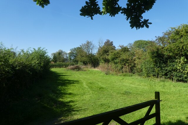
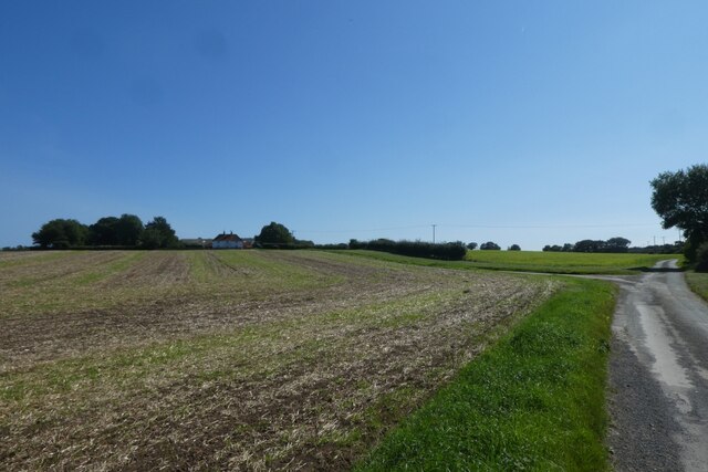
Catwick Hill is a prominent hill located in the East Riding of Yorkshire, England. Situated near the village of Catwick, it is part of the Yorkshire Wolds, a range of low hills that stretch across the region. Despite its relatively modest height of around 85 meters (279 feet), Catwick Hill offers breathtaking panoramic views of the surrounding countryside.
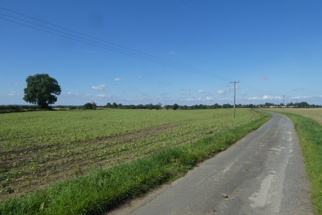
The hill is characterized by its gently sloping sides and lush green meadows, which are often adorned with colorful wildflowers during the spring and summer months. It is primarily composed of chalk, a type of soft, white limestone that is common in the Yorkshire Wolds.
Catwick Hill is a popular destination for outdoor enthusiasts, offering a range of activities such as hiking, walking, and picnicking. There are several footpaths and trails that lead to the summit, providing visitors with the opportunity to explore the area's natural beauty and wildlife.
At the top of Catwick Hill, visitors can enjoy uninterrupted vistas of the rolling Yorkshire landscape, with views extending as far as the North Sea coast on clear days. The hill's strategic location also makes it an excellent spot for birdwatching, as various species of birds can be spotted soaring above or nesting in the nearby trees.
Overall, Catwick Hill serves as a picturesque retreat for both locals and tourists, offering a tranquil escape from the hustle and bustle of everyday life amidst the stunning Yorkshire countryside.
If you have any feedback on the listing, please let us know in the comments section below.
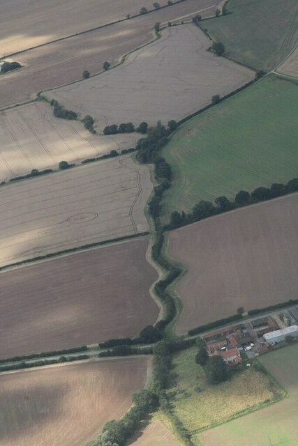
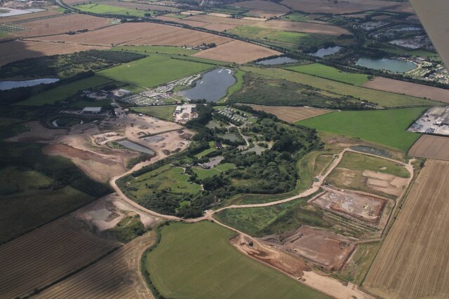
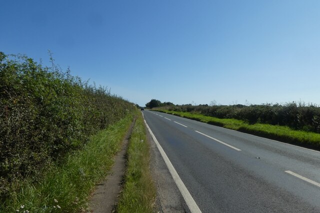
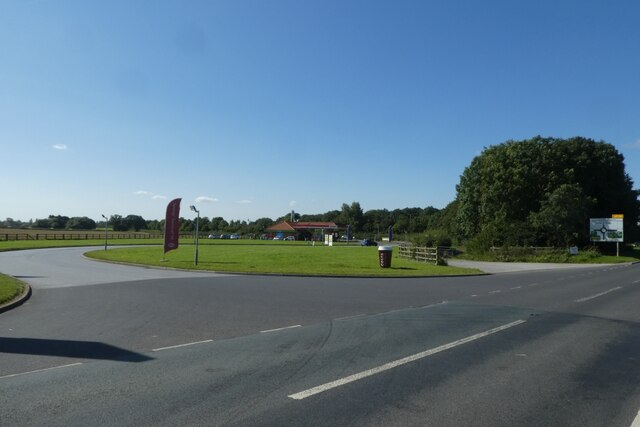
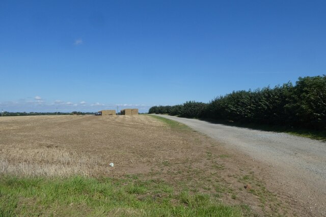
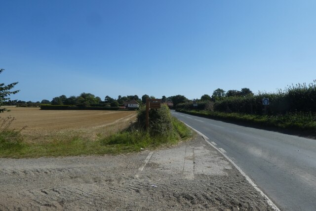
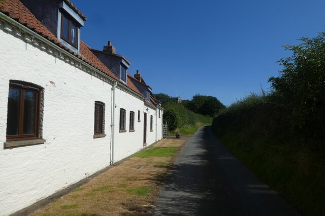
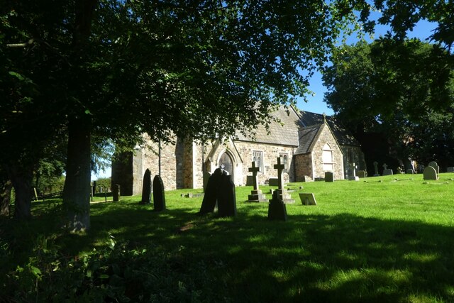
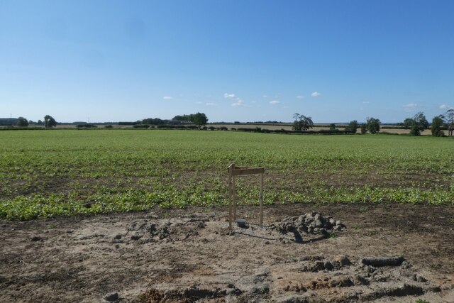
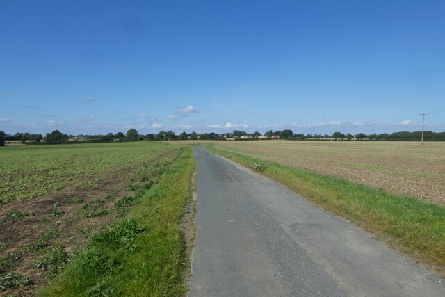
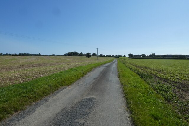
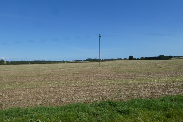
Catwick Hill Images
Images are sourced within 2km of 53.897664/-0.26793574 or Grid Reference TA1346. Thanks to Geograph Open Source API. All images are credited.
Catwick Hill is located at Grid Ref: TA1346 (Lat: 53.897664, Lng: -0.26793574)
Division: East Riding
Unitary Authority: East Riding of Yorkshire
Police Authority: Humberside
What 3 Words
///lights.jugs.rumble. Near Brandesburton, East Yorkshire
Nearby Locations
Related Wikis

Catwick
Catwick is a village and civil parish in the East Riding of Yorkshire, England. It is situated approximately 7.5 miles (12 km) north-east of Beverley town...
Sigglesthorne
Sigglesthorne is a small village and civil parish in the East Riding of Yorkshire, England. It is situated approximately 3 miles (4.8 km) west of Hornsea...

Little Catwick
Little Catwick is a hamlet in the East Riding of Yorkshire, England. It is situated approximately 7 miles (11 km) north-east of Beverley town centre. It...

Catfoss
Catfoss is a hamlet in the East Riding of Yorkshire, England, in an area known as Holderness. It is situated approximately 5 miles (8 km) west of the town...
Seaton, East Riding of Yorkshire
Seaton is a village and civil parish in the East Riding of Yorkshire, England. It is situated approximately 2.5 miles (4 km) west of Hornsea on the A1035...

Brandesburton
Brandesburton is a village and civil parish in the East Riding of Yorkshire, England. It is situated approximately 7 miles (11 km) west of Hornsea and...

RAF Catfoss
Royal Air Force Catfoss, or more simply RAF Catfoss, is a former Royal Air Force station during the Second World War. It was located 4 miles (6.4 km) west...

Leven, East Riding of Yorkshire
Leven is a village and civil parish in the East Riding of Yorkshire, England. It is situated approximately 7 miles (11 km) west of Hornsea town centre...
Nearby Amenities
Located within 500m of 53.897664,-0.26793574Have you been to Catwick Hill?
Leave your review of Catwick Hill below (or comments, questions and feedback).