Westlands Hill
Hill, Mountain in Yorkshire
England
Westlands Hill
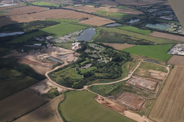
Westlands Hill is a prominent geographical feature located in Yorkshire, England. Standing tall at an elevation of approximately 357 meters (1,171 feet), it is classified as a hill or a mountain, depending on the definition used. It is situated in the Westlands region, hence the name, which encompasses a picturesque landscape characterized by rolling hills and lush greenery.
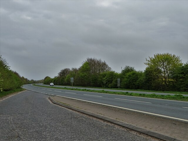
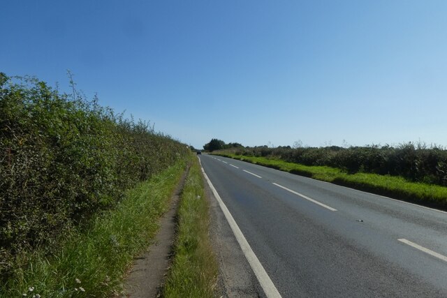
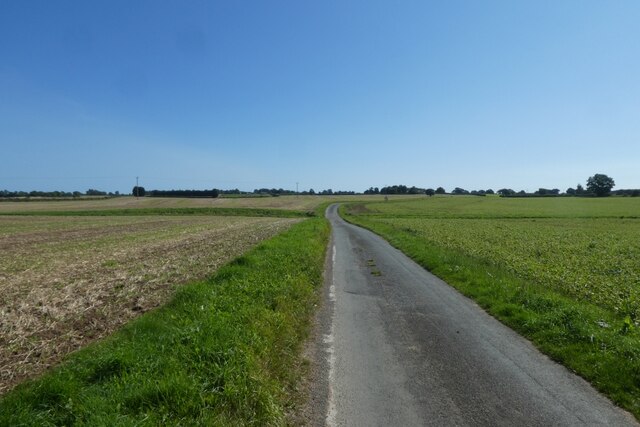
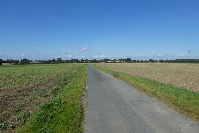
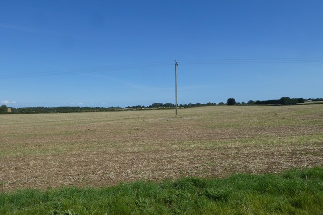
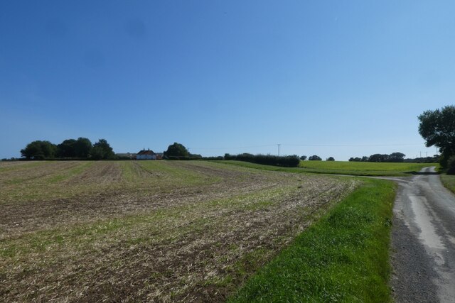
The hill is renowned for its breathtaking panoramic views of the surrounding countryside, making it a popular destination for nature enthusiasts and hikers alike. On a clear day, visitors can enjoy a sweeping vista that stretches for miles, encompassing charming villages, farmland, and distant hills in the distance.
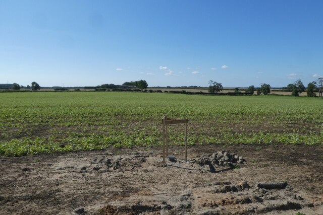
Westlands Hill is home to diverse flora and fauna, with various species of plants and animals thriving in its natural habitat. The hillside is covered in a patchwork of vegetation, including heather, grasses, and scattered trees, providing an ideal environment for a range of wildlife.
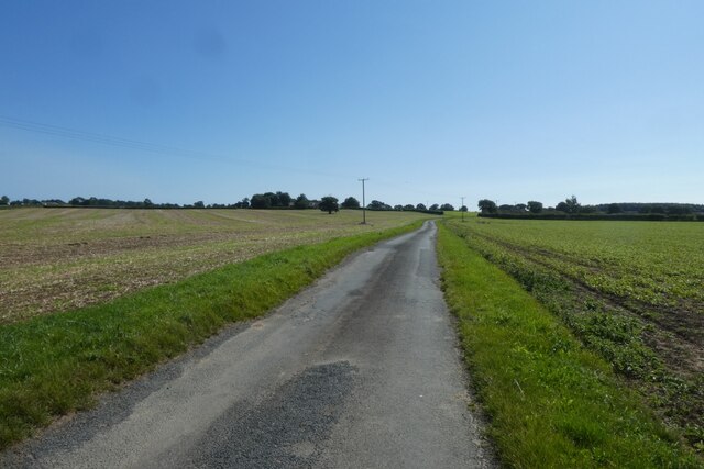
The area surrounding Westlands Hill offers ample opportunities for outdoor activities such as hiking, walking, and birdwatching. There are several well-marked trails that allow visitors to explore the hill and its surroundings, immersing themselves in the tranquility of the natural environment.
Overall, Westlands Hill is an idyllic destination for those seeking a peaceful retreat or an adventure in nature. Its stunning vistas, diverse wildlife, and accessibility make it a beloved spot for locals and tourists alike, showcasing the beauty and charm of Yorkshire's countryside.
If you have any feedback on the listing, please let us know in the comments section below.
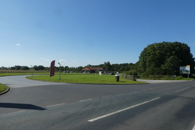
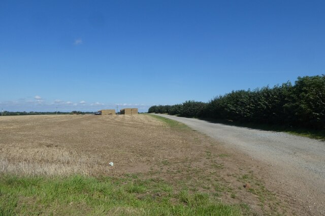
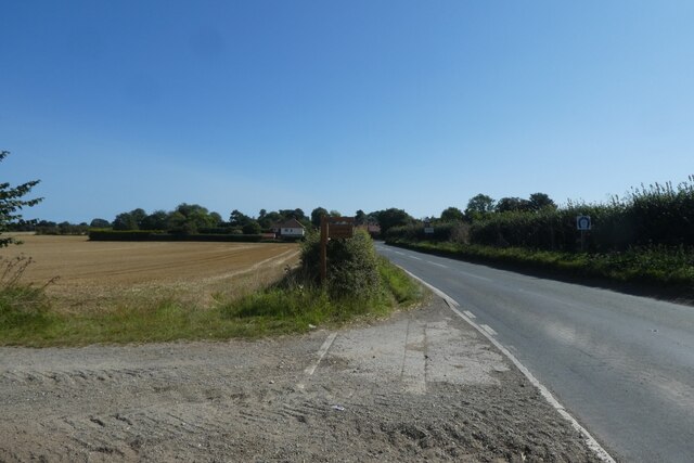
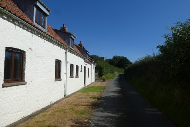
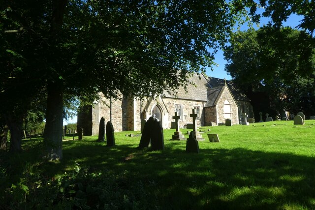
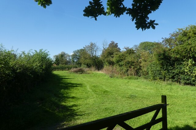
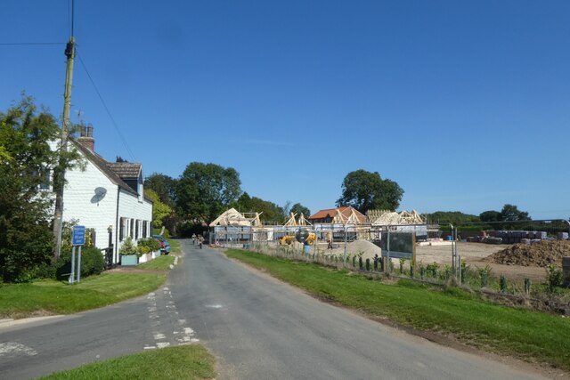
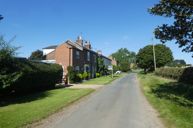
Westlands Hill Images
Images are sourced within 2km of 53.90025/-0.27332355 or Grid Reference TA1346. Thanks to Geograph Open Source API. All images are credited.
Westlands Hill is located at Grid Ref: TA1346 (Lat: 53.90025, Lng: -0.27332355)
Division: East Riding
Unitary Authority: East Riding of Yorkshire
Police Authority: Humberside
What 3 Words
///internet.remaining.party. Near Brandesburton, East Yorkshire
Nearby Locations
Related Wikis

Catwick
Catwick is a village and civil parish in the East Riding of Yorkshire, England. It is situated approximately 7.5 miles (12 km) north-east of Beverley town...

Little Catwick
Little Catwick is a hamlet in the East Riding of Yorkshire, England. It is situated approximately 7 miles (11 km) north-east of Beverley town centre. It...

Catfoss
Catfoss is a hamlet in the East Riding of Yorkshire, England, in an area known as Holderness. It is situated approximately 5 miles (8 km) west of the town...
Sigglesthorne
Sigglesthorne is a small village and civil parish in the East Riding of Yorkshire, England. It is situated approximately 3 miles (4.8 km) west of Hornsea...

Brandesburton
Brandesburton is a village and civil parish in the East Riding of Yorkshire, England. It is situated approximately 7 miles (11 km) west of Hornsea and...

RAF Catfoss
Royal Air Force Catfoss, or more simply RAF Catfoss, is a former Royal Air Force station during the Second World War. It was located 4 miles (6.4 km) west...
Seaton, East Riding of Yorkshire
Seaton is a village and civil parish in the East Riding of Yorkshire, England. It is situated approximately 2.5 miles (4 km) west of Hornsea on the A1035...

Leven, East Riding of Yorkshire
Leven is a village and civil parish in the East Riding of Yorkshire, England. It is situated approximately 7 miles (11 km) west of Hornsea town centre...
Related Videos

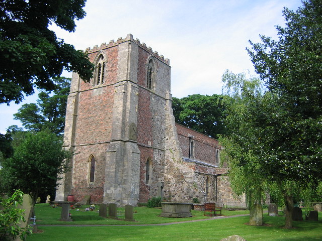
CHURCH OF SAINT LAWRENCE SIGGLESTHORNE EAST YORKSHIRE EARLY 13TH CENTURY.
THE CHURCH OF SAINT LAWRENCE IS A HISTORIC PART 13TH CENTURY GRADE II LISTED CHURCH WITH MANY ...
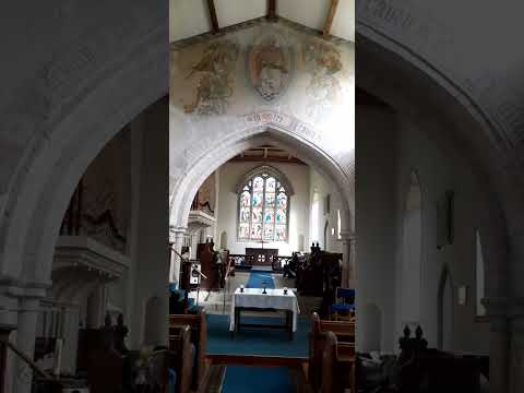
THE CHANCEL , CHURCH OF ST LAWRENCE SIGGLESTHORNE NEAR HORNSEA EAST YORKSHIRE.
THE BEAUTIFUL CHANCEL OF THE CHURCH OF SAINT LAWRENCE SIGGLESTHORNE NEAR HORNSEA A CHURCH WITH ...

Nearby Amenities
Located within 500m of 53.90025,-0.27332355Have you been to Westlands Hill?
Leave your review of Westlands Hill below (or comments, questions and feedback).