Westlands Pond
Lake, Pool, Pond, Freshwater Marsh in Yorkshire
England
Westlands Pond
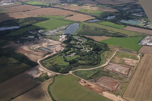
Westlands Pond, located in Yorkshire, is a scenic freshwater marsh that serves as an important habitat for various wildlife species. Covering an area of approximately 10 acres, this pond is surrounded by lush greenery and offers a serene environment for visitors to enjoy.
The pond itself is a shallow body of water, with an average depth of around 4 feet. It is fed by several small streams that flow from the surrounding hills, ensuring a constant supply of fresh water. The water in Westlands Pond is clear and supports a diverse range of aquatic plants, such as water lilies and reeds, which provide shelter and food for numerous species.
The marshy areas surrounding the pond are characterized by wetland vegetation, including sedges and rushes. These plants thrive in the moist soil and provide breeding grounds and nesting sites for various bird species. Visitors to Westlands Pond may spot species like mallards, coots, and swans, among others.
Apart from its importance as a wildlife habitat, Westlands Pond also offers recreational opportunities for nature enthusiasts. The pond is popular among anglers, who can try their luck at catching species such as carp and perch. Additionally, the tranquil setting and picturesque views make it an ideal spot for nature walks and picnics.
Overall, Westlands Pond in Yorkshire is a valuable freshwater ecosystem that supports a diverse range of wildlife. Whether it is birdwatching, fishing, or simply enjoying the peaceful surroundings, visitors are sure to find something to appreciate in this beautiful natural setting.
If you have any feedback on the listing, please let us know in the comments section below.
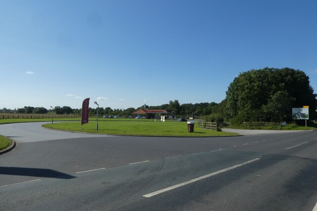
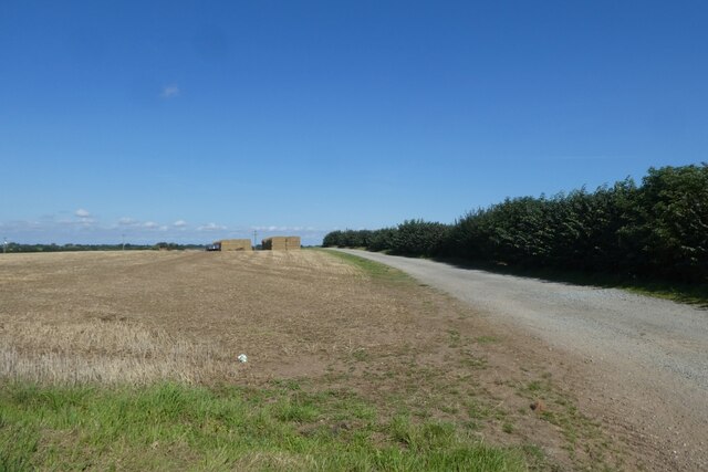
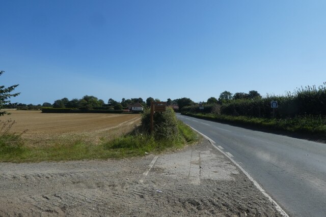
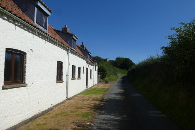
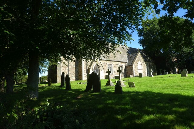
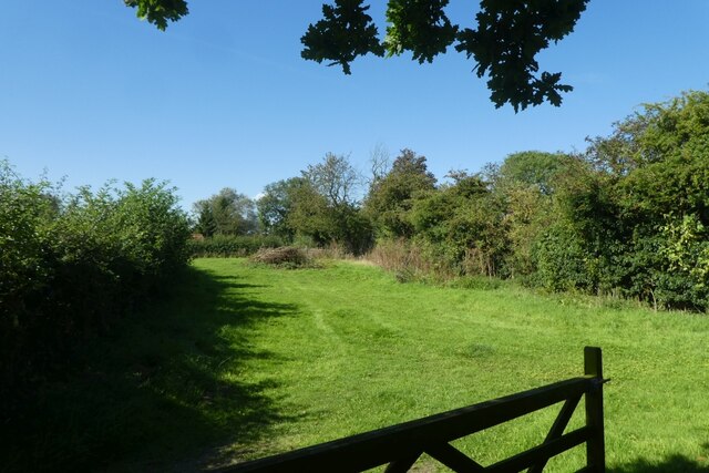
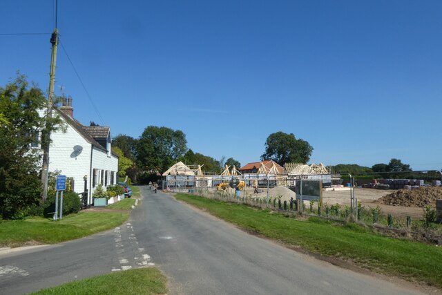
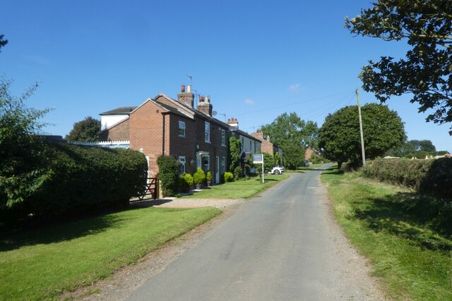
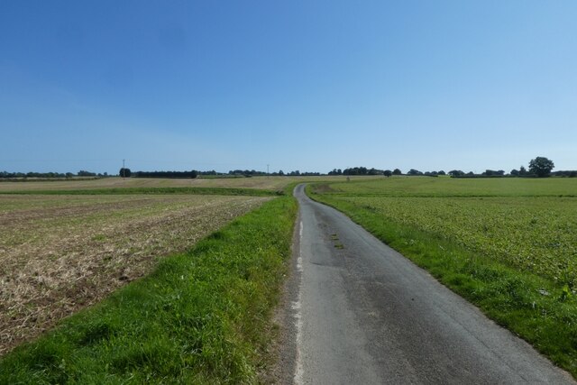
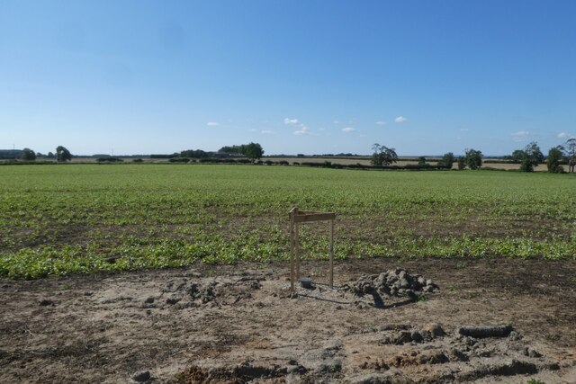
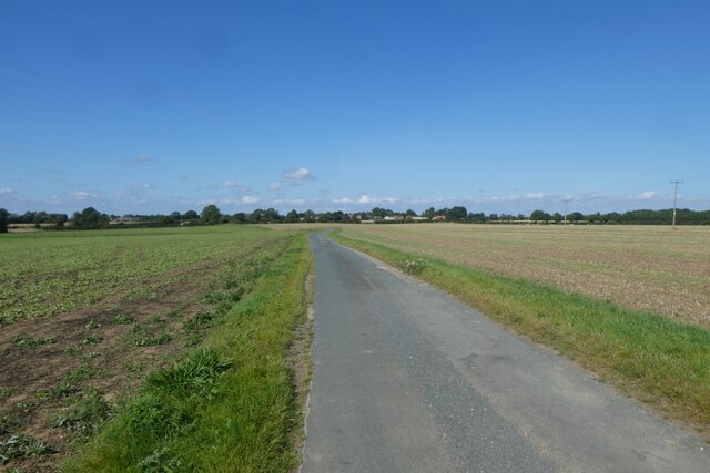
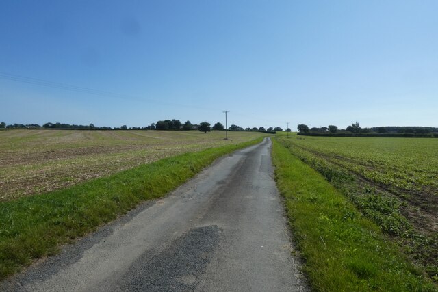
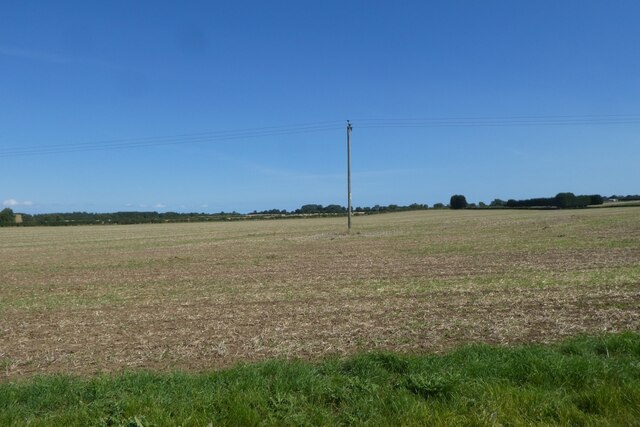
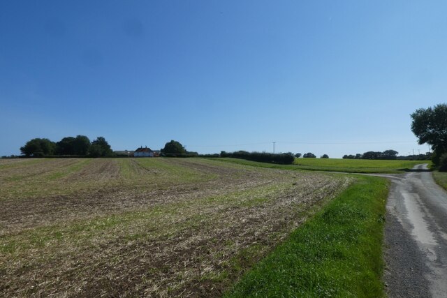
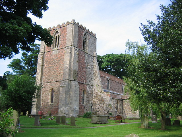
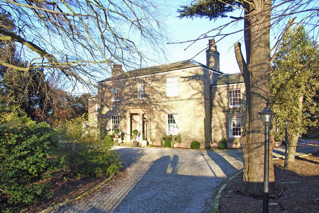
Westlands Pond Images
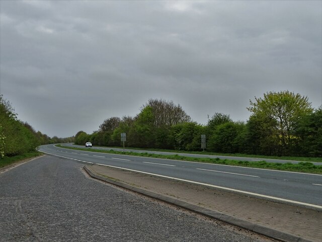
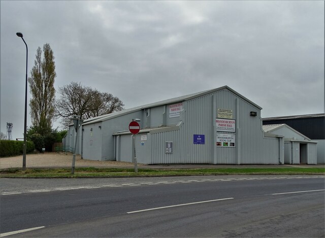
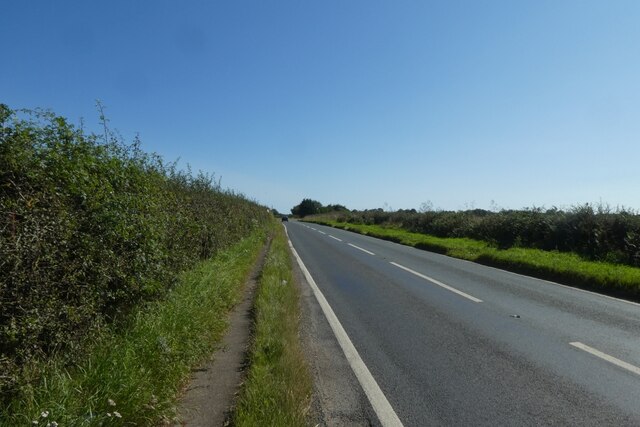
Images are sourced within 2km of 53.900898/-0.27215523 or Grid Reference TA1346. Thanks to Geograph Open Source API. All images are credited.
Westlands Pond is located at Grid Ref: TA1346 (Lat: 53.900898, Lng: -0.27215523)
Division: East Riding
Unitary Authority: East Riding of Yorkshire
Police Authority: Humberside
What 3 Words
///stiff.backpack.divorcing. Near Brandesburton, East Yorkshire
Nearby Locations
Related Wikis

Catwick
Catwick is a village and civil parish in the East Riding of Yorkshire, England. It is situated approximately 7.5 miles (12 km) north-east of Beverley town...

Little Catwick
Little Catwick is a hamlet in the East Riding of Yorkshire, England. It is situated approximately 7 miles (11 km) north-east of Beverley town centre. It...

Catfoss
Catfoss is a hamlet in the East Riding of Yorkshire, England, in an area known as Holderness. It is situated approximately 5 miles (8 km) west of the town...
Sigglesthorne
Sigglesthorne is a small village and civil parish in the East Riding of Yorkshire, England. It is situated approximately 3 miles (4.8 km) west of Hornsea...

Brandesburton
Brandesburton is a village and civil parish in the East Riding of Yorkshire, England. It is situated approximately 7 miles (11 km) west of Hornsea and...

RAF Catfoss
Royal Air Force Catfoss, or more simply RAF Catfoss, is a former Royal Air Force station during the Second World War. It was located 4 miles (6.4 km) west...
Seaton, East Riding of Yorkshire
Seaton is a village and civil parish in the East Riding of Yorkshire, England. It is situated approximately 2.5 miles (4 km) west of Hornsea on the A1035...

Leven, East Riding of Yorkshire
Leven is a village and civil parish in the East Riding of Yorkshire, England. It is situated approximately 7 miles (11 km) west of Hornsea town centre...
Nearby Amenities
Located within 500m of 53.900898,-0.27215523Have you been to Westlands Pond?
Leave your review of Westlands Pond below (or comments, questions and feedback).