Dam Bottom
Lake, Pool, Pond, Freshwater Marsh in Lincolnshire West Lindsey
England
Dam Bottom
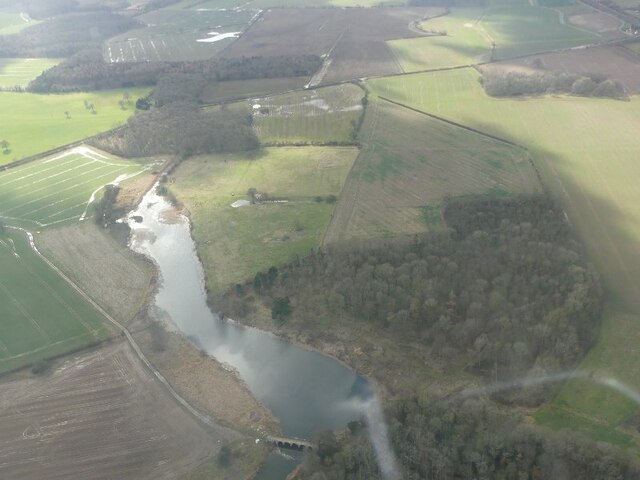
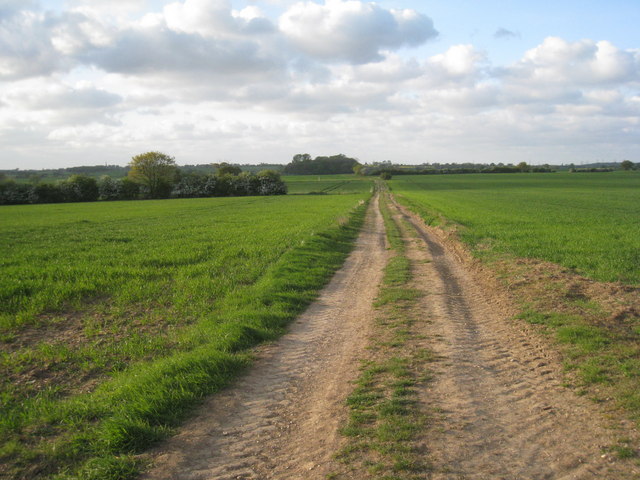
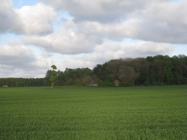
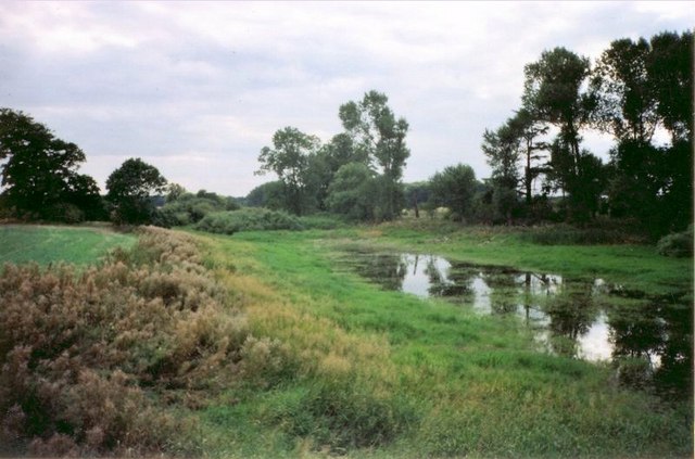
Dam Bottom is a picturesque freshwater marsh located in the county of Lincolnshire, England. The area is known for its stunning natural beauty and diverse ecosystem, making it a popular destination for nature enthusiasts and birdwatchers.
Surrounded by lush greenery and rolling hills, Dam Bottom is home to a large lake, pool, and pond, each offering unique features and habitats. The lake, with its expansive size and crystal-clear waters, provides an ideal environment for various species of fish, including pike, perch, and roach. Fishing enthusiasts often visit the lake to test their angling skills and enjoy the tranquil surroundings.
The pool at Dam Bottom is a smaller body of water, characterized by its calm and serene atmosphere. It is a haven for migratory birds, providing a safe resting place during their long journeys. Birdwatchers flock to the area, armed with binoculars and cameras, hoping to catch a glimpse of rare and beautiful species such as the common teal, great crested grebe, and little egret.
Nestled amongst the reeds and water lilies, the pond at Dam Bottom adds to the marsh's charm. It is a thriving habitat for amphibians, including frogs, toads, and newts. The tranquil waters provide them with a safe breeding ground and ample food supply.
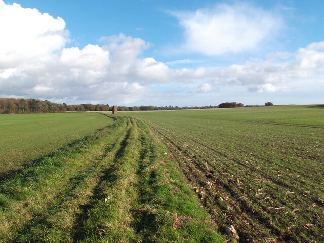
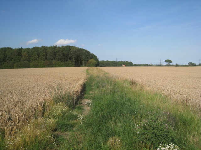
Visitors to Dam Bottom can explore the marsh through a network of well-maintained walking trails, allowing them to immerse themselves in the natural wonders of the area. The marshland is also home to a variety of plant species, such as the common reed and yellow flag iris, adding vibrant colors to the landscape.
Overall, Dam Bottom in Lincolnshire is a true natural gem, offering a serene retreat for both wildlife and humans alike.
If you have any feedback on the listing, please let us know in the comments section below.
Dam Bottom Images
Images are sourced within 2km of 53.590629/-0.28681859 or Grid Reference TA1311. Thanks to Geograph Open Source API. All images are credited.


Dam Bottom is located at Grid Ref: TA1311 (Lat: 53.590629, Lng: -0.28681859)
Administrative County: Lincolnshire
District: West Lindsey
Police Authority: Lincolnshire
What 3 Words
///hobbit.waistcoat.gangs. Near Keelby, Lincolnshire
Nearby Locations
Related Wikis

Brocklesby
Brocklesby is a village and civil parish in the West Lindsey district of Lincolnshire, England. It is situated 1 mile (1.6 km) south from Habrough, 4...

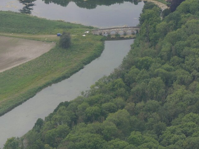
Newsham Bridge
Newsham Bridge is a Grade I listed structure in Brocklesby Park, part of the estate of the Earls of Yarborough in West Lindsey, Lincolnshire, England....
Newsham Abbey
Newsham Abbey was an abbey in Newsham, a small hamlet north of Brocklesby village in Lincolnshire, England, and one of nine within the historical county...

Nuncotham Priory
Nuncotham Priory was a priory of Cistercian nuns in Brocklesby, Lincolnshire, England. The priory of Nuncotham in Brocklesby parish was founded by Alan...

Habrough railway station
Habrough railway station serves the village of Habrough and the town of Immingham in North East Lincolnshire, England. It was built by the Great Grimsby...

Brocklesby railway station
Brocklesby railway station was a station near Brocklesby, Lincolnshire. It was formally closed by British Rail on 3 October 1993. The station was located...

Habrough
Habrough ( HAY-b(ə-)rə) is a village and civil parish in North East Lincolnshire, England, 8 miles (13 km) north-west of Grimsby and 3 miles (5 km) inland...
Great Limber
Great Limber is a village and civil parish in the West Lindsey district of Lincolnshire, England. The population of the civil parish at the 2011 census...
Nearby Amenities
Located within 500m of 53.590629,-0.28681859Have you been to Dam Bottom?
Leave your review of Dam Bottom below (or comments, questions and feedback).