Southdown Ponds
Lake, Pool, Pond, Freshwater Marsh in Hertfordshire St. Albans
England
Southdown Ponds

Southdown Ponds, located in Hertfordshire, is a picturesque collection of freshwater bodies comprising lakes, pools, ponds, and a freshwater marsh. This nature reserve is nestled in the stunning Southdown Hills, offering visitors a tranquil and scenic environment to explore.
The main feature of Southdown Ponds is its three interconnected lakes, which together span an area of approximately 10 acres. These lakes are home to a diverse range of aquatic plants, including water lilies and reeds, creating a vibrant and colorful ecosystem. The crystal-clear waters provide an ideal habitat for various fish species, such as carp, roach, and tench, making it a popular spot for anglers.
Surrounding the lakes are several smaller pools and ponds, each with its own unique characteristics. These smaller bodies of water are teeming with a variety of wildlife, including frogs, newts, and dragonflies. Birdwatchers will also be delighted to spot a plethora of avian species, such as kingfishers, herons, and mallards, which frequently visit the area.
One of the highlights of Southdown Ponds is the freshwater marsh, which is a haven for wetland plants and animals. This marshland is characterized by its waterlogged soil and provides a vital habitat for a range of wildlife, including wading birds, various reptiles, and an abundance of insect life.
Southdown Ponds offers visitors the opportunity to engage in a range of activities, such as walking, fishing, and birdwatching. With its scenic beauty and rich biodiversity, it is an idyllic destination for nature enthusiasts and those seeking a peaceful retreat in the heart of Hertfordshire.
If you have any feedback on the listing, please let us know in the comments section below.
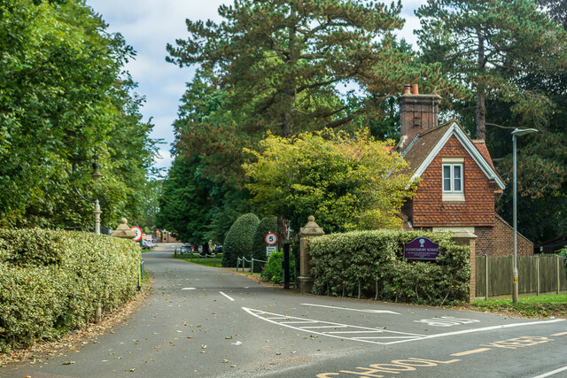
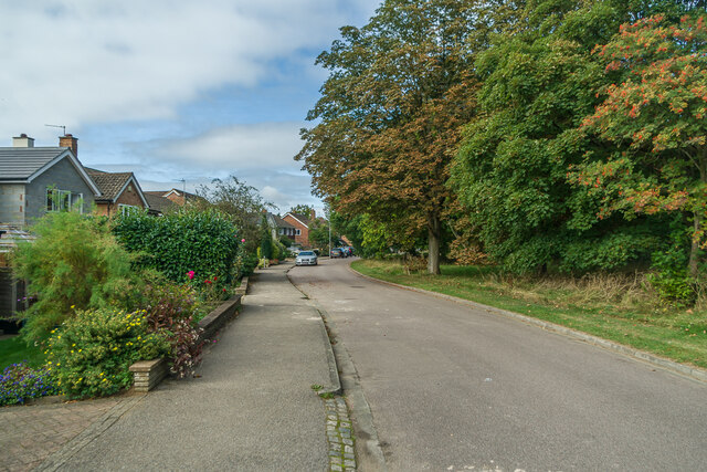
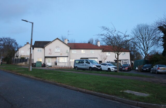
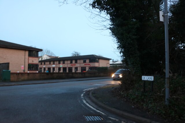
Southdown Ponds Images
Images are sourced within 2km of 51.81068/-0.35161064 or Grid Reference TL1313. Thanks to Geograph Open Source API. All images are credited.


Southdown Ponds is located at Grid Ref: TL1313 (Lat: 51.81068, Lng: -0.35161064)
Administrative County: Hertfordshire
District: St. Albans
Police Authority: Hertfordshire
What 3 Words
///prompting.pose.feared. Near Harpenden, Hertfordshire
Nearby Locations
Related Wikis
Rothamsted Research
Rothamsted Research, previously known as the Rothamsted Experimental Station and then the Institute of Arable Crops Research, is one of the oldest agricultural...
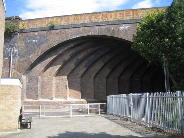
Southdown Road Skew Bridge
Southdown Road Skew Bridge is a ribbed skew arch railway bridge, which carries the Midland Main Line across Southdown Road in Harpenden, Hertfordshire...

Harpenden railway station
Harpenden railway station is on the Midland Main Line in England, serving the town of Harpenden, Hertfordshire. It is 24 miles 51 chains (39.7 km) down...

Rothamsted Park
Rothamsted Park is a 56-acre (230,000 m2) public park in Harpenden, Hertfordshire. == History == The park was formerly part of the Manor of Rothamsted...

Harpenden Town F.C.
Harpenden Town Football Club is a football club based in Harpenden, Hertfordshire, England. They are currently members of the Spartan South Midlands League...
Harpenden
Harpenden () is a town and civil parish in the City and District of St Albans in the county of Hertfordshire, England. The population of the built-up area...

St Nicholas Church, Harpenden
The church of St Nicholas in Harpenden is a parish church in the Church of England. It is a Grade II* listed building. == Background == It is the oldest...

Harpenden Common Golf Club
Harpenden Common Golf Club is a private members' golf club in Harpenden, Hertfordshire. Although golf has been played on Harpenden Common since 1895, Harpenden...
Nearby Amenities
Located within 500m of 51.81068,-0.35161064Have you been to Southdown Ponds?
Leave your review of Southdown Ponds below (or comments, questions and feedback).