St John's Wood
Wood, Forest in Hertfordshire St. Albans
England
St John's Wood

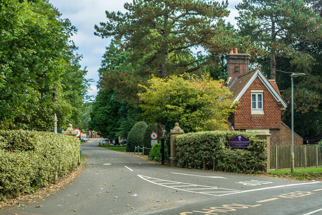
St. John's Wood is a charming and picturesque village located in Hertfordshire, England. Situated within a lush and verdant forest, the village is renowned for its natural beauty and tranquil atmosphere. With a population of approximately 2,500 residents, it offers a close-knit community feel.
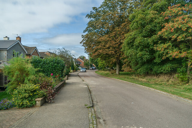
The woodlands surrounding St. John's Wood are characterized by towering trees, providing a serene and idyllic setting for residents and visitors alike. The area is home to a diverse range of wildlife, including deer, foxes, and various bird species, making it a haven for nature enthusiasts and wildlife lovers.
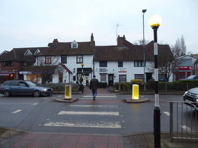
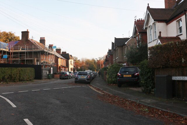
The village itself boasts a rich history, with some buildings dating back to the 16th century. St. John's Wood is known for its traditional architecture, with charming cottages and period houses lining the streets. The local church, St. John's Church, is a prominent landmark and a testament to the village's historical significance.
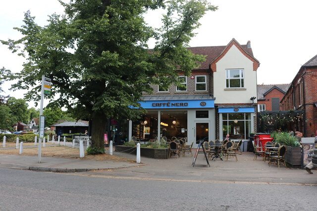
St. John's Wood offers a range of amenities and facilities to cater to its residents' needs. There are several local shops, including a post office and a small supermarket, as well as a handful of cozy pubs and cafes. The village also has a primary school, providing education for local children.
The surrounding forest provides ample opportunities for outdoor activities, such as hiking, cycling, and horse riding. There are well-maintained trails that wind through the woodlands, offering breathtaking views and a chance to immerse oneself in nature.
Overall, St. John's Wood is a hidden gem in Hertfordshire, offering a peaceful and picturesque setting for those seeking a retreat from the hustle and bustle of city life.
If you have any feedback on the listing, please let us know in the comments section below.
St John's Wood Images
Images are sourced within 2km of 51.804979/-0.34903372 or Grid Reference TL1313. Thanks to Geograph Open Source API. All images are credited.


St John's Wood is located at Grid Ref: TL1313 (Lat: 51.804979, Lng: -0.34903372)
Administrative County: Hertfordshire
District: St. Albans
Police Authority: Hertfordshire
What 3 Words
///moon.forum.circle. Near Harpenden, Hertfordshire
Nearby Locations
Related Wikis

Harpenden Common Golf Club
Harpenden Common Golf Club is a private members' golf club in Harpenden, Hertfordshire. Although golf has been played on Harpenden Common since 1895, Harpenden...
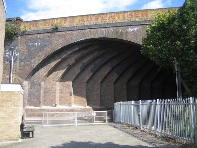
Southdown Road Skew Bridge
Southdown Road Skew Bridge is a ribbed skew arch railway bridge, which carries the Midland Main Line across Southdown Road in Harpenden, Hertfordshire...
Rothamsted Research
Rothamsted Research, previously known as the Rothamsted Experimental Station and then the Institute of Arable Crops Research, is one of the oldest agricultural...

Ahm House
The Ahm House at 44 West Common Way is a house in Harpenden in Hertfordshire, England. It was built between 1961 and 1963 by the structural engineer Povl...

Rothamsted Park
Rothamsted Park is a 56-acre (230,000 m2) public park in Harpenden, Hertfordshire. == History == The park was formerly part of the Manor of Rothamsted...

Harpenden railway station
Harpenden railway station is on the Midland Main Line in England, serving the town of Harpenden, Hertfordshire. It is 24 miles 51 chains (39.7 km) down...
Harpenden Town F.C.
Harpenden Town Football Club is a football club based in Harpenden, Hertfordshire, England. They are currently members of the Spartan South Midlands League...

Rothamsted Manor
Rothamsted Manor is a former manor and current manor house, situated in Harpenden Rural in the English county of Hertfordshire. A Grade I listed building...
Nearby Amenities
Located within 500m of 51.804979,-0.34903372Have you been to St John's Wood?
Leave your review of St John's Wood below (or comments, questions and feedback).