Hall Wood

Wood, Forest in Huntingdonshire Huntingdonshire

England

Hall Wood

Wheat field and Ringmoor Spinney
Wheat field and Ringmoor Spinney Credit: Jonathan Thacker

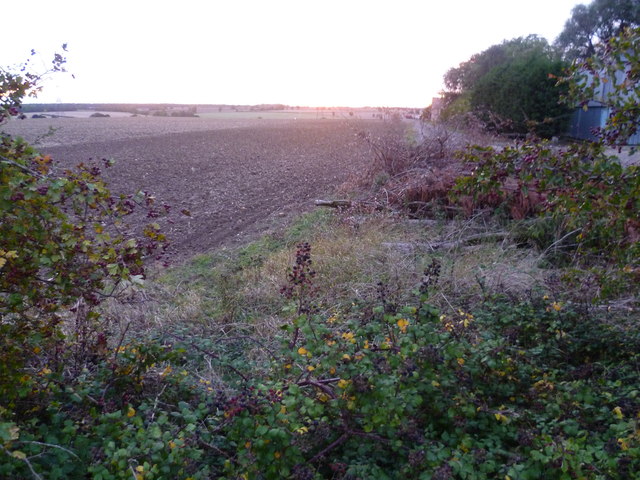
Hall Wood is a small forest located in the district of Huntingdonshire, England. Covering an area of approximately 50 acres, it is situated near the village of Hall Green. The wood is known for its diverse range of flora and fauna, making it an important ecological site in the region.

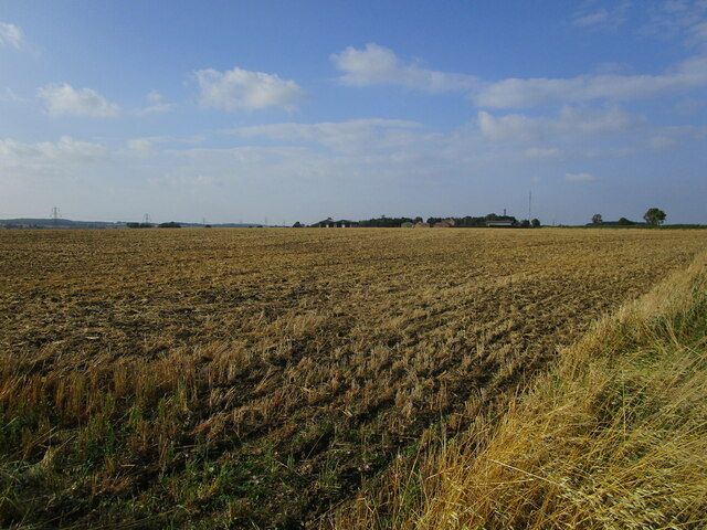
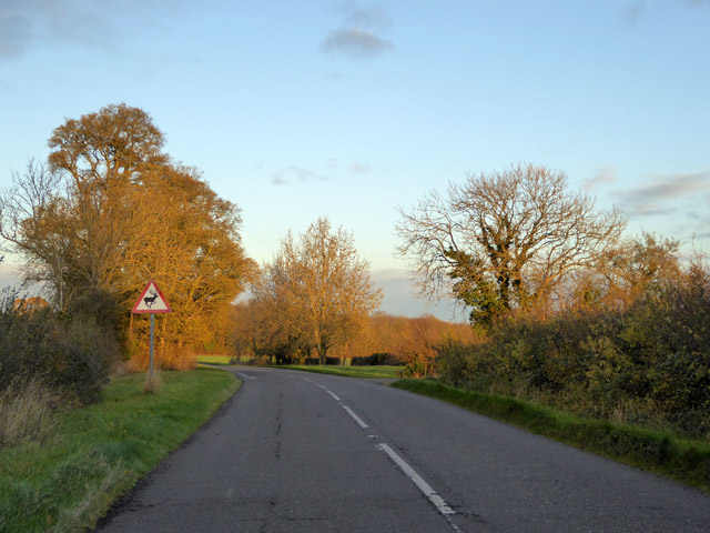
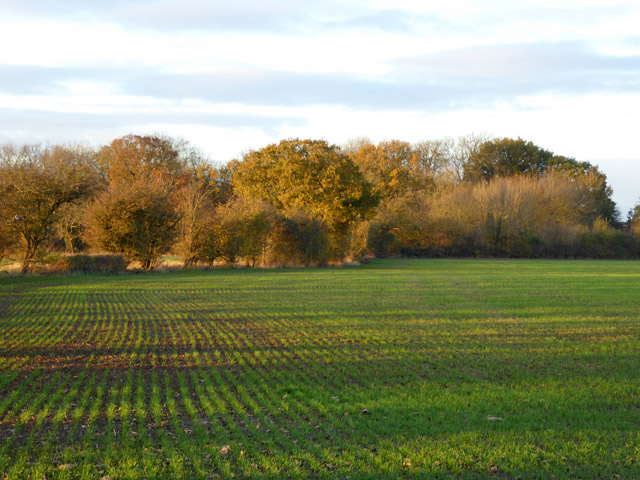
The woodland is predominantly composed of deciduous trees, including oak, ash, and beech. These trees provide a dense canopy that offers shelter and habitat for a variety of woodland creatures, such as squirrels, badgers, and several species of birds. The forest floor is rich in wildflowers, creating a vibrant and colorful landscape during the spring and summer months.

Hall Wood is intersected by several footpaths and trails, making it a popular destination for nature enthusiasts and hikers. The paths allow visitors to explore the woodland and observe its natural beauty up close. There are also designated picnic areas where visitors can relax and enjoy the tranquil surroundings.

The forest is managed by the local authorities, who ensure its conservation and protection. They carry out regular maintenance work, such as tree pruning and clearing of invasive species, to preserve the woodland's ecological balance.

Hall Wood is not only a haven for wildlife but also serves as a recreational space for the local community. Its picturesque setting, combined with the peaceful atmosphere, makes it an ideal place for walking, bird-watching, and simply enjoying nature.

If you have any feedback on the listing, please let us know in the comments section below.

Hall Wood Images

Images are sourced within 2km of 52.486761/-0.32359356 or Grid Reference TL1388. Thanks to Geograph Open Source API. All images are credited.

Wheat field and Ringmoor Spinney
Harrowed field and Ongutein Manor
Harvest time near to Lutton
Dead tree on a corner
Gates to Washingley Hall Farm A deserted medieval village and a mote and bailey castle are both marked on the map. Today, apart from this pair of gates, there isn't a lot happening here.
Gates to Washingley Hall Farm
A deserted medieval village and a mote and bailey castle are both marked on the map. Today, apart from this pair of gates, there isn't a lot happening here.
Elm Farm, Church Street, Stilton Built in the 18C, and listed Grade II.
Elm Farm, Church Street, Stilton
Built in the 18C, and listed Grade II.
Beware of deer on Washingley Lane
A growing crop and a spinney Folksworth Spinney is across the field.
A growing crop and a spinney
Folksworth Spinney is across the field.
Washingley Lane at the end of Bullock Road
Cycle Route 12 on Redhill Road
Kenny's Oak On Redhill Road, with a view down to Caldecote. The oak is marked on the OS 1887 map. But who was Kenny? An article in the Waterbeach Community Association's 'Beach News' of September 2012 suggests that the oak was "... reputed to have been used as a gallows by a young boy when he committed suicide." <span class="nowrap"><a title="http://www.waterbeach.org/Beach%20News/Publications/2012%20Spring.pdf" rel="nofollow ugc noopener" href="http://www.waterbeach.org/Beach%20News/Publications/2012%20Spring.pdf">Link</a><img style="margin-left:2px;" alt="External link" title="External link - shift click to open in new window" src="https://s1.geograph.org.uk/img/external.png" width="10" height="10"/></span>
Kenny's Oak
On Redhill Road, with a view down to Caldecote. The oak is marked on the OS 1887 map. But who was Kenny? An article in the Waterbeach Community Association's 'Beach News' of September 2012 suggests that the oak was "... reputed to have been used as a gallows by a young boy when he committed suicide." LinkExternal link
Entering Caldecote Caldecote: "a place name found in various counties, meaning ‘cold cottage(s)’, with reference to poor construction, exposed situation, or clay soil ..." [A Dictionary of British Place Names]. I don't know why clay soil would make somewhere cold, but this area's geology is dominated by the Oxford Clay mudstones.
Entering Caldecote
Caldecote: "a place name found in various counties, meaning ‘cold cottage(s)’, with reference to poor construction, exposed situation, or clay soil ..." [A Dictionary of British Place Names]. I don't know why clay soil would make somewhere cold, but this area's geology is dominated by the Oxford Clay mudstones.
Caldecote; area of deserted village Looking towards the former Church of St Mary Magdalene (bellcote on horizon); now a private house.
Caldecote; area of deserted village
Looking towards the former Church of St Mary Magdalene (bellcote on horizon); now a private house.
Partially mown verge, Caldecote Road It is estimated that roadside verges account for about 1,000 square miles of land in the UK, and that less frequent mowing would bring a range of environmental benefits [The Guardian, 26 May 2021]. The section on the left has been mown to improve visibility from the junction of Washingley Road just behind the camera.
Partially mown verge, Caldecote Road
It is estimated that roadside verges account for about 1,000 square miles of land in the UK, and that less frequent mowing would bring a range of environmental benefits [The Guardian, 26 May 2021]. The section on the left has been mown to improve visibility from the junction of Washingley Road just behind the camera.
Cycle Route 12 on Caldecote Road entering Stilton
Sunset at Ongutein Manor The sun was setting behind the slightly sinister looking Ongutein Manor at the time this picture was taken. Ongutein Manor is marked as 'Ogerston' on old maps.  Ogerston was a property of the Knights Templar but there is nothing now left of it.
Sunset at Ongutein Manor
The sun was setting behind the slightly sinister looking Ongutein Manor at the time this picture was taken. Ongutein Manor is marked as 'Ogerston' on old maps. Ogerston was a property of the Knights Templar but there is nothing now left of it.
Sunset at Ongutein Manor Farm The sun was just setting as this picture was taken from Bullock Road alongside Ongutein Manor Farm.
Sunset at Ongutein Manor Farm
The sun was just setting as this picture was taken from Bullock Road alongside Ongutein Manor Farm.
Sunset across the valley of the Billing Brook The sun was just disappearing over the horizon as this picture was taken and within 15 minutes it was getting dark. The footpath leads away from Bullock Road, down into the valley and up the other side to the village of Lutton in Northamptonshire.
Sunset across the valley of the Billing Brook
The sun was just disappearing over the horizon as this picture was taken and within 15 minutes it was getting dark. The footpath leads away from Bullock Road, down into the valley and up the other side to the village of Lutton in Northamptonshire.
Show me another place!

Hall Wood is located at Grid Ref: TL1388 (Lat: 52.486761, Lng: -0.32359356)

Administrative County: Cambridgeshire

District: Huntingdonshire

Police Authority: Cambridgeshire

What 3 Words

///overcomes.pass.spellings. Near Stilton, Cambridgeshire

Related Wikis

Washingley

Washingley is a hamlet and former civil parish, now in the parish of Folksworth and Washingley, in Cambridgeshire, England. Washingley lies approximately...

Folksworth and Washingley

Folksworth and Washingley is a civil parish near Peterborough in Cambridgeshire, England, comprising the villages of Folksworth and Washingley.The parish...

Caldecote, Huntingdonshire

Caldecote is a village and former civil parish, now in the parish of Denton and Caldecote, in Cambridgeshire, England. Caldecote lies approximately 7 miles...

Denton and Caldecote

Denton and Caldecote – in Huntingdonshire (now part of Cambridgeshire), England – is a civil parish near Glatton south west of Yaxley. The parish was formed...

Nearby Amenities

Located within 500m of 52.486761,-0.32359356
Washingley
Place: hamlet
Source Name: signpost near Folksworth
Wikidata: Q7971508
Lat/Long: 52.4875401/-0.3306131
Washingley Castle (site of)
Historic: archaeological_site
Source: signboard
Lat/Long: 52.4871786/-0.3292785
Power: pole
Lat/Long: 52.4842586/-0.3219506
Power: pole
Lat/Long: 52.4848222/-0.3219265
Power: pole
Lat/Long: 52.4831642/-0.3219319
Power: transformer
Lat/Long: 52.4826121/-0.3219453
Power: pole
Lat/Long: 52.482604/-0.3227365
Power: pole
Lat/Long: 52.4853578/-0.3219292
Power: pole
Lat/Long: 52.4839204/-0.3180377
Power: pole
Lat/Long: 52.4891651/-0.3214678
Power: pole
Lat/Long: 52.4838568/-0.3192635
Power: pole
Lat/Long: 52.4864432/-0.3219266
Power: pole
Lat/Long: 52.4878927/-0.3219211
Power: pole
Lat/Long: 52.4837865/-0.3206073
Power: pole
Lat/Long: 52.4837081/-0.3219372
Power: pole
Lat/Long: 52.4871986/-0.3219372
Power: pole
Lat/Long: 52.4885199/-0.3216851
Power: pole
Lat/Long: 52.4859018/-0.3219238
Power: pole
Lat/Long: 52.4826104/-0.323501
Power: pole
Lat/Long: 52.4905632/-0.3209478
Barrier: stile
Lat/Long: 52.484879/-0.3279009
Washingley Castle
Information: board
Operator: CCC
Tourism: information
Lat/Long: 52.4872049/-0.3306288
Fish Stews
Historic: archaeological_site
Lat/Long: 52.4846479/-0.3270588
Ulmus
Place: farm
Lat/Long: 52.4900345/-0.3198678
Washingley Hall (site of)
Historic: archaeological_site
Lat/Long: 52.4877868/-0.3301205
The data included in this document is from www.openstreetmap.org. The data is made available under ODbL.

Have you been to Hall Wood?

Leave your review of Hall Wood below (or comments, questions and feedback).