Caldecote Wood
Wood, Forest in Huntingdonshire Huntingdonshire
England
Caldecote Wood

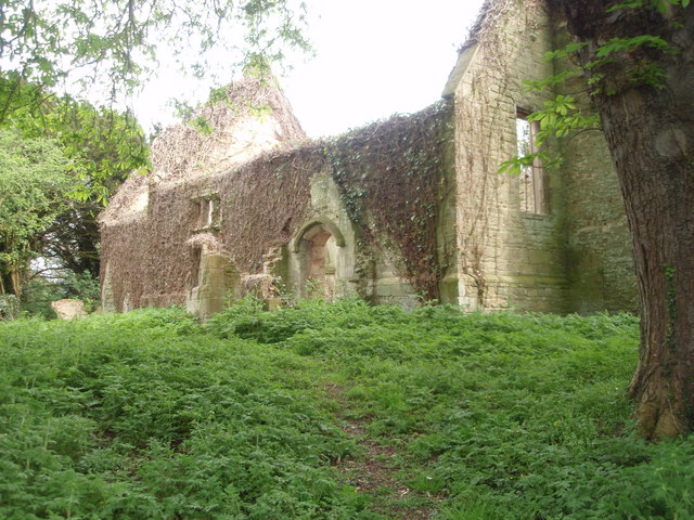
Caldecote Wood is a charming woodland located in the district of Huntingdonshire, Cambridgeshire, England. Spanning over an area of approximately 100 acres, this ancient forest offers a tranquil escape from the hustle and bustle of urban life.
The wood is predominantly composed of native broadleaf trees, including oak, ash, and beech, which create a rich and diverse habitat for a variety of flora and fauna. Bluebells carpet the forest floor in the spring, while the vibrant hues of autumn leaves provide a picturesque scenery during the fall.
Caldecote Wood is a popular destination for nature enthusiasts and outdoor enthusiasts alike. It boasts a network of well-maintained footpaths, allowing visitors to explore the woodland at their own pace. These trails wind through the dense foliage, offering glimpses of wildlife such as deer, foxes, and a myriad of bird species.
The wood is also home to a small pond, providing a habitat for amphibians and insects, and serving as a peaceful spot for reflection. Additionally, the area is a designated Site of Special Scientific Interest (SSSI), highlighting its ecological importance and the need for its preservation.
The wood is open to the public year-round and offers ample parking facilities. It is a popular spot for nature walks, picnics, and even a quiet spot for artists and photographers to capture the natural beauty of the surroundings. Caldecote Wood truly offers a serene and magical experience for visitors seeking to reconnect with nature.
If you have any feedback on the listing, please let us know in the comments section below.
Caldecote Wood Images
Images are sourced within 2km of 52.478459/-0.33028519 or Grid Reference TL1388. Thanks to Geograph Open Source API. All images are credited.


![Entering Caldecote Caldecote: &quot;a place name found in various counties, meaning ‘cold cottage(s)’, with reference to poor construction, exposed situation, or clay soil ...&quot; [A Dictionary of British Place Names]. I don&#039;t know why clay soil would make somewhere cold, but this area&#039;s geology is dominated by the Oxford Clay mudstones.](https://s1.geograph.org.uk/geophotos/06/87/80/6878013_92fc889a.jpg)
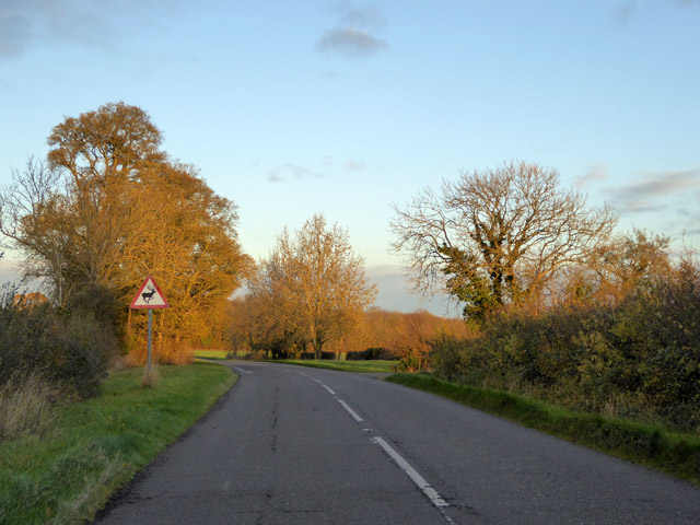
![Partially mown verge, Caldecote Road It is estimated that roadside verges account for about 1,000 square miles of land in the UK, and that less frequent mowing would bring a range of environmental benefits [The Guardian, 26 May 2021]. The section on the left has been mown to improve visibility from the junction of Washingley Road just behind the camera.](https://s3.geograph.org.uk/geophotos/06/87/80/6878023_684eb6db.jpg)

Caldecote Wood is located at Grid Ref: TL1388 (Lat: 52.478459, Lng: -0.33028519)
Administrative County: Cambridgeshire
District: Huntingdonshire
Police Authority: Cambridgeshire
What 3 Words
///plastic.biked.redeeming. Near Stilton, Cambridgeshire
Nearby Locations
Related Wikis

Caldecote, Huntingdonshire
Caldecote is a village and former civil parish, now in the parish of Denton and Caldecote, in Cambridgeshire, England. Caldecote lies approximately 7 miles...

Washingley
Washingley is a hamlet and former civil parish, now in the parish of Folksworth and Washingley, in Cambridgeshire, England. Washingley lies approximately...
Denton and Caldecote
Denton and Caldecote – in Huntingdonshire (now part of Cambridgeshire), England – is a civil parish near Glatton south west of Yaxley. The parish was formed...
Denton, Cambridgeshire
Denton is a hamlet and former civil parish, now in the parish of Denton and Caldecote, in Cambridgeshire, England. Denton lies approximately 11 miles...
Nearby Amenities
Located within 500m of 52.478459,-0.33028519Have you been to Caldecote Wood?
Leave your review of Caldecote Wood below (or comments, questions and feedback).