Hole Hill
Hill, Mountain in Surrey Mole Valley
England
Hole Hill
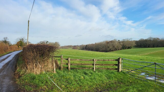
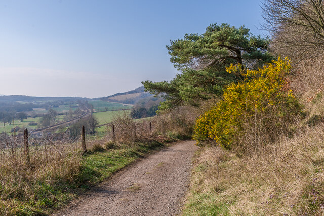
Hole Hill is a prominent hill located in the county of Surrey, England. Situated in the North Downs, it forms part of the beautiful landscape of the Surrey Hills Area of Outstanding Natural Beauty. Rising to an elevation of approximately 175 meters (574 feet), it offers stunning views of the surrounding countryside.
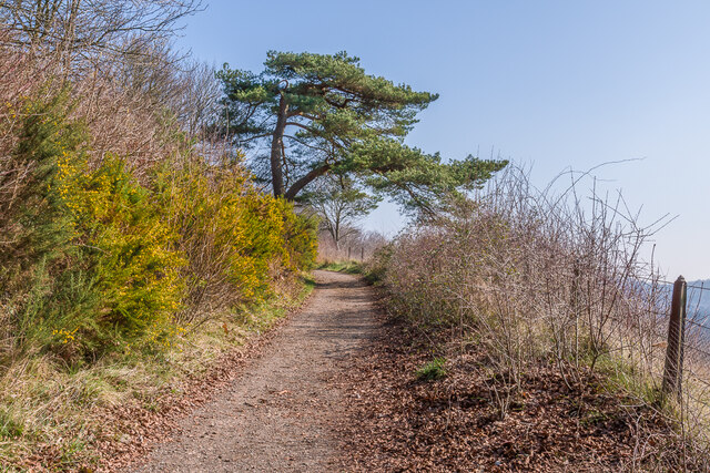
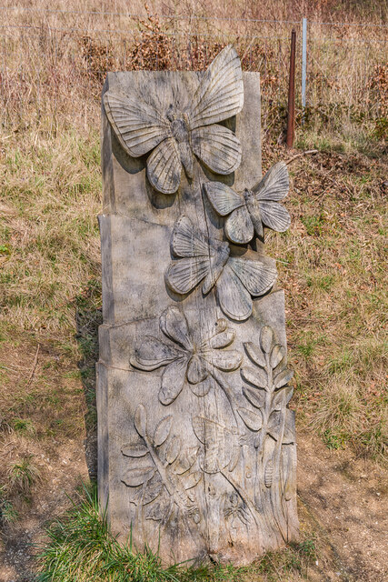
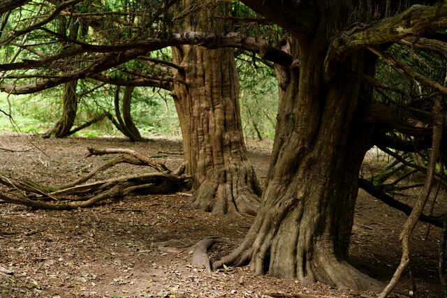
The hill is characterized by its gentle slopes and a distinctive conical shape, which is believed to have been formed during the last ice age. Hole Hill is covered in lush grasslands and is surrounded by diverse flora and fauna, making it an ideal spot for nature enthusiasts and hikers.
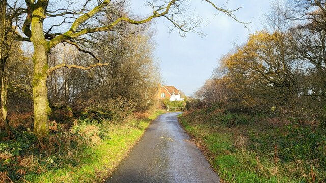
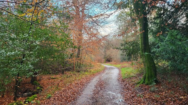
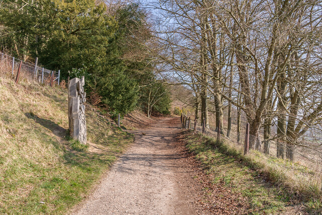
The hill is easily accessible, with several footpaths leading to its summit. These paths are well-maintained and provide a pleasant walking experience for visitors. Along the way, one can encounter a variety of wildlife, including birds, rabbits, and deer.
At the top of Hole Hill, visitors are rewarded with panoramic views of the surrounding area. On a clear day, it is possible to see as far as the South Downs in the south and the London skyline in the north. The hill offers a tranquil and serene atmosphere, allowing visitors to escape the hustle and bustle of everyday life.
Overall, Hole Hill in Surrey is a picturesque and peaceful destination for those seeking a connection with nature and breathtaking views of the English countryside.
If you have any feedback on the listing, please let us know in the comments section below.
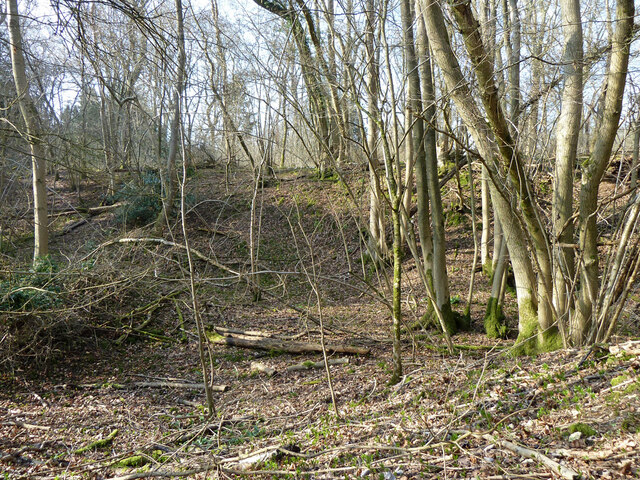
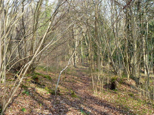
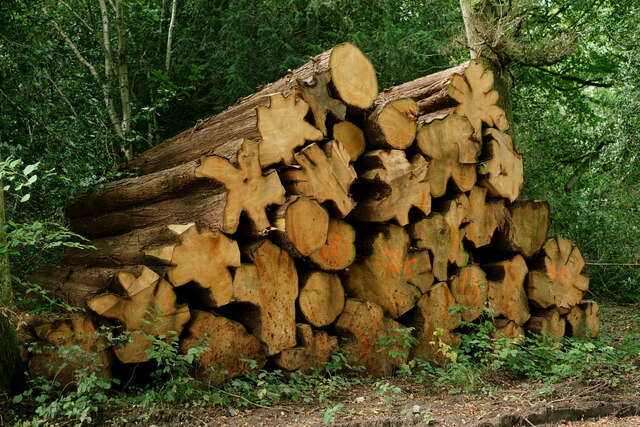
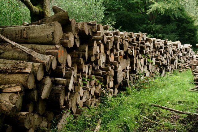
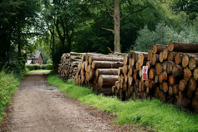
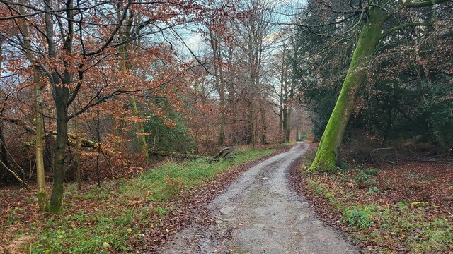
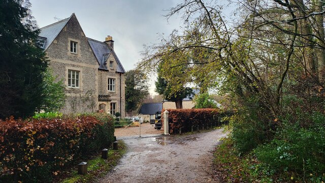
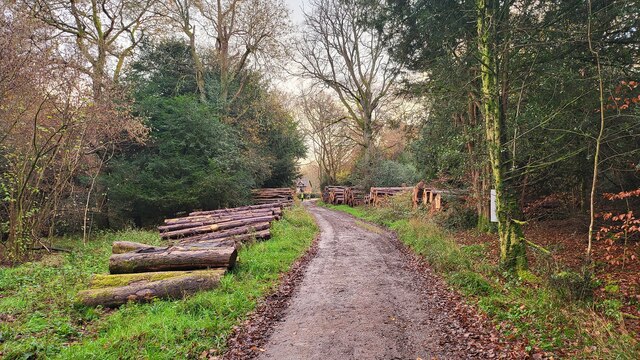
Hole Hill Images
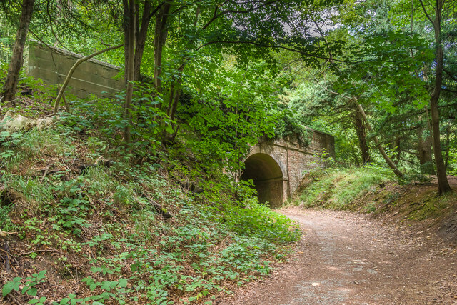
Images are sourced within 2km of 51.230981/-0.37580351 or Grid Reference TQ1349. Thanks to Geograph Open Source API. All images are credited.

Hole Hill is located at Grid Ref: TQ1349 (Lat: 51.230981, Lng: -0.37580351)
Administrative County: Surrey
District: Mole Valley
Police Authority: Surrey
What 3 Words
///gears.couch.song. Near Westcott, Surrey
Nearby Locations
Related Wikis

Ranmore Common
Ranmore Common, also known as Ranmore Commons, is an area of wooded former common land on the North Downs, immediately northwest of Dorking in the English...

Westcott, Surrey
Westcott is a village in central Surrey, England, about 1.5 miles (2.5 km) west of the centre of Dorking. It is in the Mole Valley district and the Surrey...
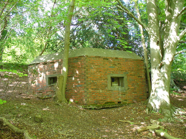
Outer London Defence Ring
The Outer London Defence Ring was a defensive ring built around London during the early part of the Second World War. It was intended as a defence against...

Wotton, Surrey
Wotton is a well-wooded parish with one main settlement, a small village mostly south of the A25 between Guildford in the west and Dorking in the east...
Nearby Amenities
Located within 500m of 51.230981,-0.37580351Have you been to Hole Hill?
Leave your review of Hole Hill below (or comments, questions and feedback).