Hurst Copse

Wood, Forest in Surrey Mole Valley

England

Hurst Copse

Old pit, The Roundabouts The Roundabouts is the name of this block of woodland, it is not obvious why.
Old pit, The Roundabouts Credit: Robin Webster

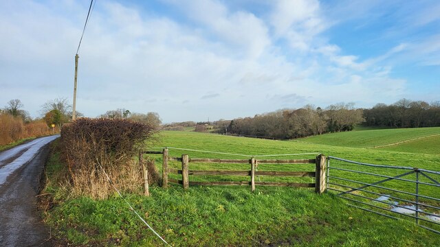
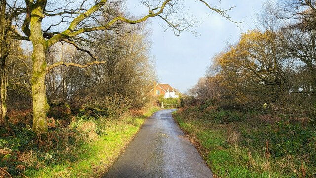
Hurst Copse, located in Surrey, England, is a picturesque wood or forest that covers an area of approximately 60 hectares. The copse is situated on the western edge of the county, near the town of Petersfield. It is easily accessible to visitors, as it is located just off the A3 road.

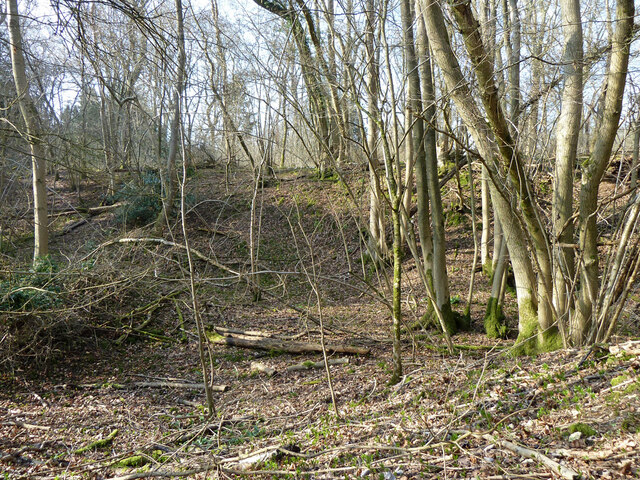
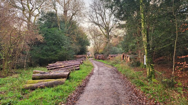
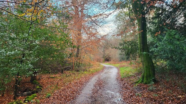
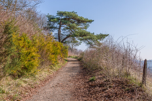
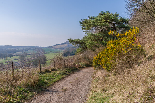
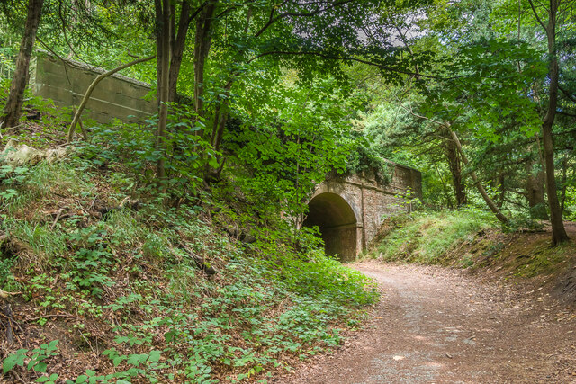
The wood is predominantly made up of broadleaf trees, including oak, beech, and ash, which create a dense canopy that provides shade and shelter for a variety of wildlife. The forest floor is covered with a rich carpet of bluebells, wood anemones, and other wildflowers, which bloom in spring and add to the beauty of the landscape.

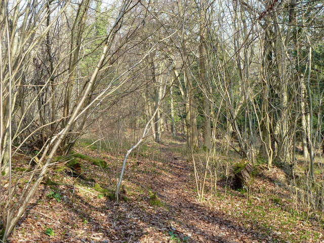
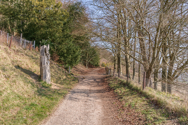
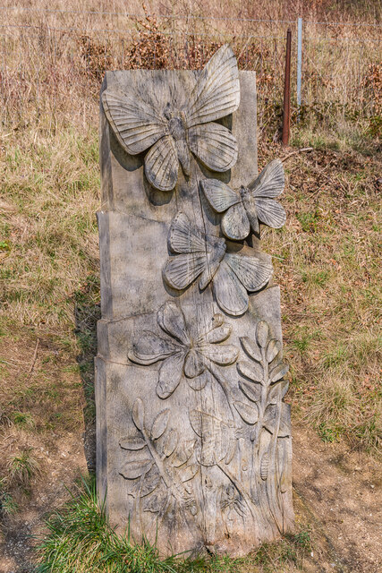
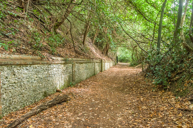
Hurst Copse is a haven for nature enthusiasts and offers numerous walking trails, allowing visitors to explore the woodland and observe the diverse range of flora and fauna. The wood is home to an array of bird species, including woodpeckers, owls, and various songbirds, making it an ideal spot for birdwatching.

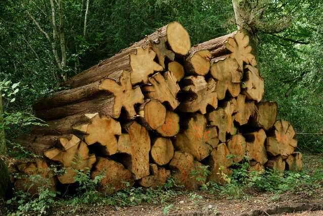
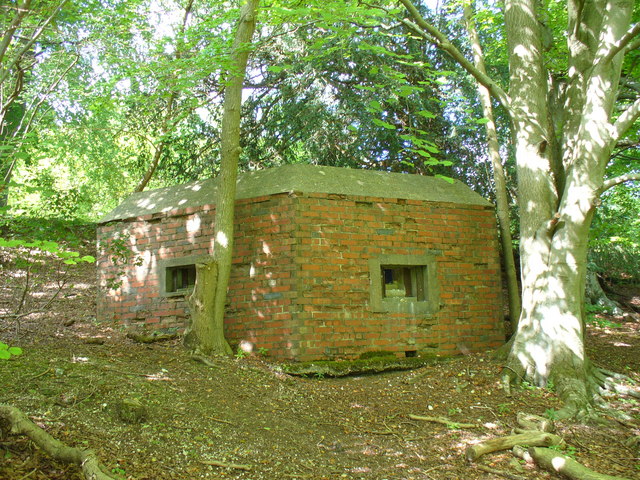
In addition to its natural beauty, Hurst Copse has historical significance. It is believed that the site has been wooded for thousands of years, with evidence of human activity dating back to the Bronze Age. There are also remnants of old charcoal burners and saw pits, which provide insight into the area's past industrial use.

Overall, Hurst Copse is a tranquil and scenic woodland, offering both natural and historical attractions for visitors. It is a place to enjoy the beauty of nature, learn about the area's history, and immerse oneself in the peaceful ambiance of this Surrey gem.

If you have any feedback on the listing, please let us know in the comments section below.
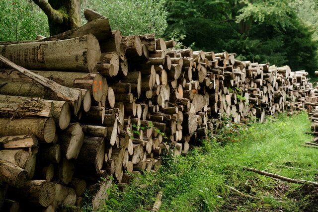
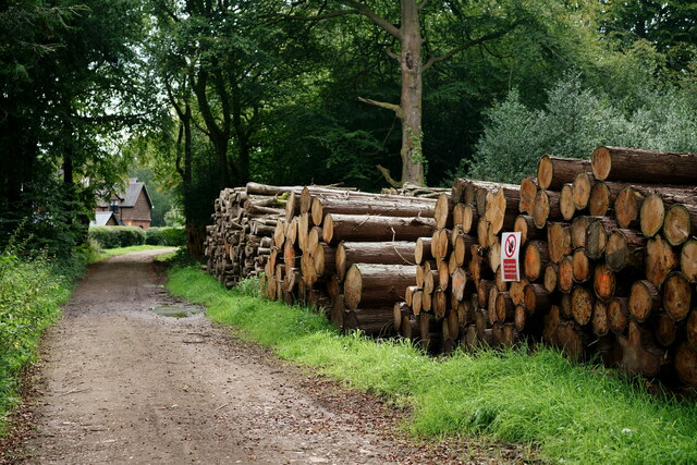
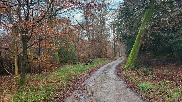
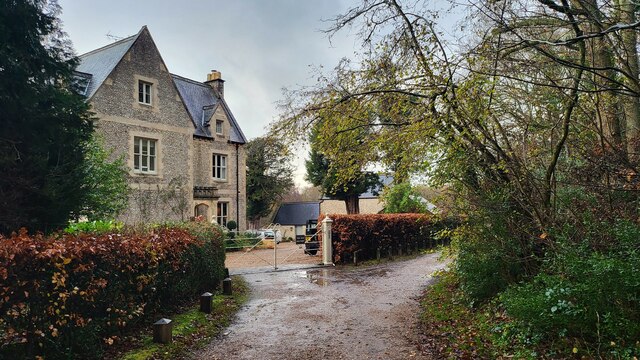
Hurst Copse Images

Images are sourced within 2km of 51.230446/-0.37615177 or Grid Reference TQ1349. Thanks to Geograph Open Source API. All images are credited.

Old pit, The Roundabouts The Roundabouts is the name of this block of woodland, it is not obvious why.
Old pit, The Roundabouts
The Roundabouts is the name of this block of woodland, it is not obvious why.
Path, The Roundabouts The Roundabouts is the name of this block of woodland, it is not obvious why.
Path, The Roundabouts
The Roundabouts is the name of this block of woodland, it is not obvious why.
Ranmore Common Felled timber, due to selective thinning on the National Trust estate.
Ranmore Common
Felled timber, due to selective thinning on the National Trust estate.
A Question of Scale Felled timber, due to selective thinning on the National Trust estate. There were some large trees involved.
A Question of Scale
Felled timber, due to selective thinning on the National Trust estate. There were some large trees involved.
Ranmore Common Felled timber, due to selective thinning on the National Trust estate.
Ranmore Common
Felled timber, due to selective thinning on the National Trust estate.
Ranmore Common Looking towards Rose Tree Cottage.
Ranmore Common
Looking towards Rose Tree Cottage.
Track through Ranmore Common Heading north to Tanner's Hatch Youth Hostel.
Track through Ranmore Common
Heading north to Tanner's Hatch Youth Hostel.
The Old Rectory Grade II listed property close to St Barnabas Church.
The Old Rectory
Grade II listed property close to St Barnabas Church.
Ranmore Common track Access road for Tanners Hatch Hostel from Ranmore Common Road in the south.
Ranmore Common track
Access road for Tanners Hatch Hostel from Ranmore Common Road in the south.
Field near Dogkennel Green Access road for St Teresa's School. Website - <span class="nowrap"><a title="https://st-teresas.com/" rel="nofollow ugc noopener" href="https://st-teresas.com/">Link</a><img style="margin-left:2px;" alt="External link" title="External link - shift click to open in new window" src="https://s1.geograph.org.uk/img/external.png" width="10" height="10"/></span>
Field near Dogkennel Green
Access road for St Teresa's School. Website - LinkExternal link
Hogden Road Heading north towards Gatehouse Cottage. This is likely to be a gatehouse for one of Effinghams Manors, now St Teresa's School, that began in 1928.
Hogden Road
Heading north towards Gatehouse Cottage. This is likely to be a gatehouse for one of Effinghams Manors, now St Teresa's School, that began in 1928.
Ranmore Common in December
Old Carriage Road Former carriage road above Westcott, built in the 1800s by William Joseph Denison, owner of the Denbies estate.
Old Carriage Road
Former carriage road above Westcott, built in the 1800s by William Joseph Denison, owner of the Denbies estate.
Old Carriage Road Former carriage road above Westcott, built in the 1800s by William Joseph Denison, owner of the Denbies estate.
Old Carriage Road
Former carriage road above Westcott, built in the 1800s by William Joseph Denison, owner of the Denbies estate.
Old Carriage Road Former carriage road above Westcott, built in the 1800s by William Joseph Denison, owner of the Denbies estate.  For a close up of the carved butterfly sculpture on the left, see <a href="https://www.geograph.org.uk/photo/7116396">TQ1350 : Butterfly sculpture</a>.
Old Carriage Road
Former carriage road above Westcott, built in the 1800s by William Joseph Denison, owner of the Denbies estate. For a close up of the carved butterfly sculpture on the left, see TQ1350 : Butterfly sculpture.
Butterfly sculpture Carved butterfly sculpture alongside the Old Carriage Road below Denbies Hillside.  The sculpture, installed in 2021 and carved by local sculptor Iain Hamilton Crafer, depicts the lifecycle of the Adonis Blue butterfly, for which Denbies Hillside is a prime site.  For a photo showing its position, see <a href="https://www.geograph.org.uk/photo/7116382">TQ1350 : Old Carriage Road</a>.
Butterfly sculpture
Carved butterfly sculpture alongside the Old Carriage Road below Denbies Hillside. The sculpture, installed in 2021 and carved by local sculptor Iain Hamilton Crafer, depicts the lifecycle of the Adonis Blue butterfly, for which Denbies Hillside is a prime site. For a photo showing its position, see TQ1350 : Old Carriage Road.
Former carriage drive to Denbies Former carriage drive to Denbies from South Lodge on Ranmore Road, seen here as it approaches a bridge under Ranmore Road, its route involving a single zigzag to reduce its gradient.
Former carriage drive to Denbies
Former carriage drive to Denbies from South Lodge on Ranmore Road, seen here as it approaches a bridge under Ranmore Road, its route involving a single zigzag to reduce its gradient.
Former carriage drive to Denbies Former carriage drive to Denbies from South Lodge on Ranmore Road, this section with a brick and flint retaining wall.
Former carriage drive to Denbies
Former carriage drive to Denbies from South Lodge on Ranmore Road, this section with a brick and flint retaining wall.
Show me another place!

Hurst Copse is located at Grid Ref: TQ1349 (Lat: 51.230446, Lng: -0.37615177)

Administrative County: Surrey

District: Mole Valley

Police Authority: Surrey

What 3 Words

///edgy.normal.shower. Near Westcott, Surrey

Related Wikis

Ranmore Common

Ranmore Common, also known as Ranmore Commons, is an area of wooded former common land on the North Downs, immediately northwest of Dorking in the English...

Westcott, Surrey

Westcott is a village in central Surrey, England, about 1.5 miles (2.5 km) west of the centre of Dorking. It is in the Mole Valley district and the Surrey...

Wotton, Surrey

Wotton is a well-wooded parish with one main settlement, a small village mostly south of the A25 between Guildford in the west and Dorking in the east...

Outer London Defence Ring

The Outer London Defence Ring was a defensive ring built around London during the early part of the Second World War. It was intended as a defence against...

Nearby Amenities

Located within 500m of 51.230446,-0.37615177
Barrier: stile
Lat/Long: 51.228351/-0.3751193
Railway: level_crossing
Lat/Long: 51.2339948/-0.3798019
Barrier: stile
Lat/Long: 51.2279547/-0.3748875
Barrier: stile
Lat/Long: 51.22829/-0.3751197
Barrier: stile
Lat/Long: 51.2309153/-0.3757015
Barrier: kissing_gate
Lat/Long: 51.2263325/-0.3758828
Railway: level_crossing
Lat/Long: 51.2339729/-0.379769
Addr Housename: Mickeldene
Lat/Long: 51.2276904/-0.3710573
Addr Housename: Conifer Lodge
Lat/Long: 51.2275683/-0.3708646
Addr Housename: The Dairy
Lat/Long: 51.2283178/-0.3712379
Addr Housename: The Milking Parlour
Lat/Long: 51.2284034/-0.3709831
Addr Housenumber: 2
Lat/Long: 51.2277478/-0.3730036
Addr Housenumber: 1
Lat/Long: 51.2277566/-0.3728559
Addr Housename: Stowe Maries Cottages
Lat/Long: 51.2274447/-0.3728656
Addr Housenumber: 1
Lat/Long: 51.228959/-0.3712309
Addr Housenumber: 2
Lat/Long: 51.2288887/-0.3713143
Addr Housename: Stable Court
Addr Housenumber: 1
Lat/Long: 51.2299674/-0.3711095
Addr Housename: Stable Court
Addr Housenumber: 2
Lat/Long: 51.2300426/-0.371044
Addr Housename: Tower House
Addr Housenumber: 1
Lat/Long: 51.2301258/-0.3709831
Addr Housename: Tower House
Addr Housenumber: 2
Lat/Long: 51.2302354/-0.3709578
Addr Housename: Gable House
Addr Housenumber: 1
Lat/Long: 51.2303311/-0.3712757
Addr Housename: Gable House
Addr Housenumber: 2
Lat/Long: 51.2304294/-0.3713124
Addr Housename: Tawside
Lat/Long: 51.2263614/-0.3766286
Addr Housename: Lake View Cottages
Addr Housenumber: 10
Lat/Long: 51.2261777/-0.3761009
Addr Housenumber: 6
Lat/Long: 51.2279079/-0.3707086
Addr Housename: Long Meadow Cottages
Lat/Long: 51.2277447/-0.3704184
The data included in this document is from www.openstreetmap.org. The data is made available under ODbL.

Have you been to Hurst Copse?

Leave your review of Hurst Copse below (or comments, questions and feedback).