Holehill Copse
Wood, Forest in Surrey Mole Valley
England
Holehill Copse
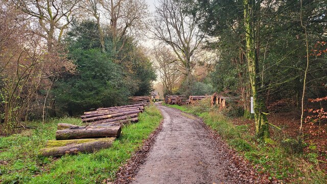
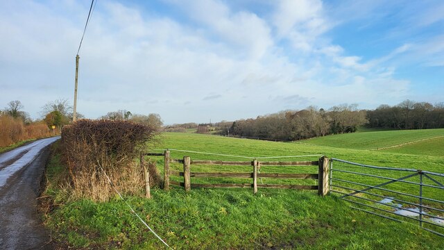
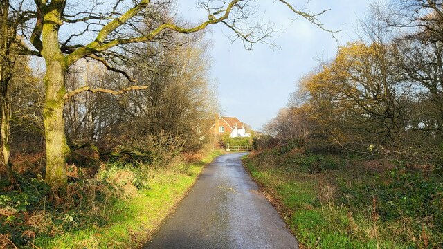
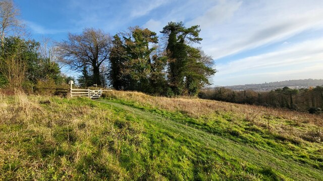
Holehill Copse is a picturesque woodland area located in the county of Surrey, England. Covering an area of approximately 50 acres, the copse is known for its natural beauty and tranquil atmosphere. It is situated near the village of Cranleigh, offering a peaceful retreat for both locals and visitors.
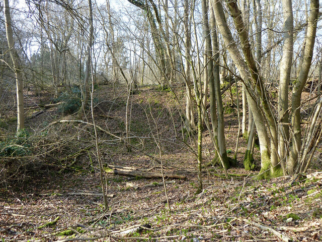
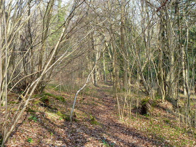
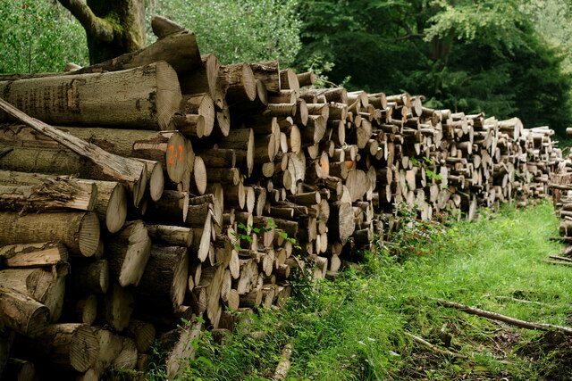
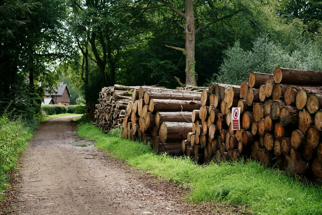
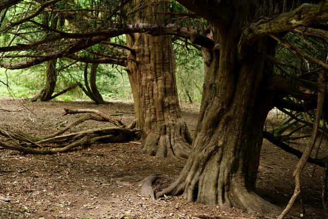
The copse is primarily composed of a diverse range of tree species, including oak, beech, and birch. These towering trees create a dense canopy overhead, providing shade and shelter for a variety of flora and fauna. The forest floor is carpeted with a rich layer of mosses, ferns, and wildflowers, adding to the copse's enchanting allure.
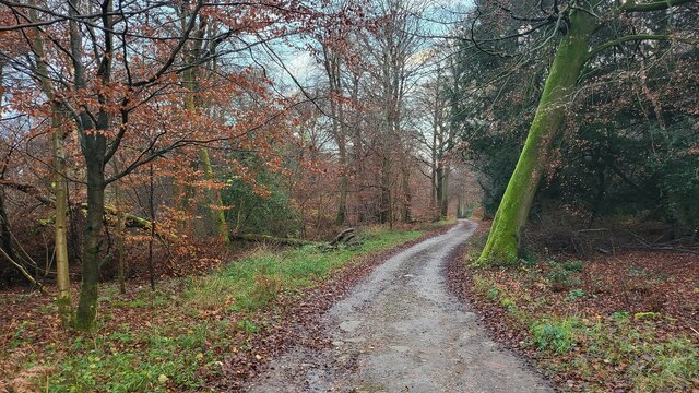
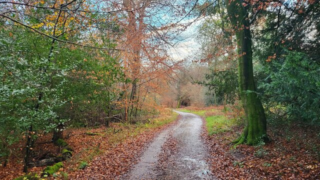
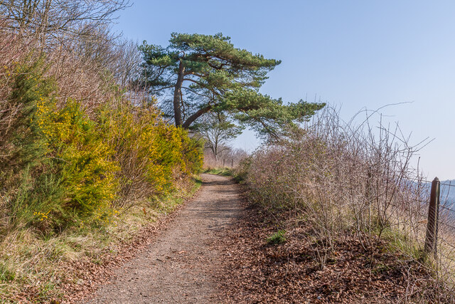
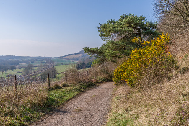
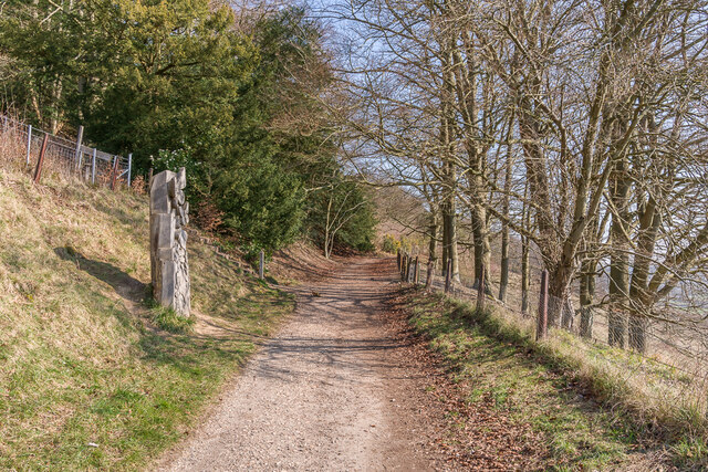
Holehill Copse is renowned for its well-maintained footpaths and trails, which wind their way through the woodland, allowing visitors to explore its natural wonders at their own pace. These paths provide opportunities for leisurely walks and hikes, as well as a chance to observe the copse's abundant wildlife, such as deer, squirrels, and various bird species.
The copse is also home to a small stream that meanders through its heart, contributing to the copse's serene ambiance. The gentle sound of the flowing water enhances the overall sense of tranquility, making it an ideal spot for nature enthusiasts and those seeking a peaceful escape from the hustle and bustle of everyday life.
Overall, Holehill Copse is a cherished natural gem in Surrey, offering a haven of beauty and serenity for all who venture into its leafy embrace.
If you have any feedback on the listing, please let us know in the comments section below.
Holehill Copse Images
Images are sourced within 2km of 51.231724/-0.37298427 or Grid Reference TQ1349. Thanks to Geograph Open Source API. All images are credited.
Holehill Copse is located at Grid Ref: TQ1349 (Lat: 51.231724, Lng: -0.37298427)
Administrative County: Surrey
District: Mole Valley
Police Authority: Surrey
What 3 Words
///desks.polite.boost. Near Westcott, Surrey
Nearby Locations
Related Wikis

Westcott, Surrey
Westcott is a village in central Surrey, England, about 1.5 miles (2.5 km) west of the centre of Dorking. It is in the Mole Valley district and the Surrey...

Ranmore Common
Ranmore Common, also known as Ranmore Commons, is an area of wooded former common land on the North Downs, immediately northwest of Dorking in the English...
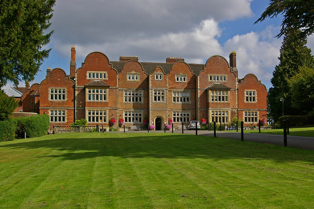
Milton Court
Milton Court, at the far west of the town of Dorking, is a 17th-century country house in Surrey. The court was expanded and substantially rebuilt by the...
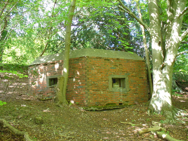
Outer London Defence Ring
The Outer London Defence Ring was a defensive ring built around London during the early part of the Second World War. It was intended as a defence against...

Wotton, Surrey
Wotton is a well-wooded parish with one main settlement, a small village mostly south of the A25 between Guildford in the west and Dorking in the east...
Ranmore Common SSSI
Ranmore Common SSSI is a 224.3-hectare (554-acre) biological Site of Special Scientific Interest in Ranmore Common, north-west of Dorking in Surrey.This...

Hackhurst and White Downs
Hackhurst and White Downs is a 185.1-hectare (457-acre) biological Site of Special Scientific Interest west of Dorking in Surrey. White Downs is a Nature...

The Priory School, Dorking
The Priory (C of E Aided) School, Dorking is a voluntary-aided Church of England school for pupils aged 11–16, in Dorking, Surrey. The school opened 1996...
Nearby Amenities
Located within 500m of 51.231724,-0.37298427Have you been to Holehill Copse?
Leave your review of Holehill Copse below (or comments, questions and feedback).