Merry Hill

Hill, Mountain in Hertfordshire Hertsmere

England

Merry Hill

Moatview Court, Bushey
Moatview Court, Bushey Credit: Bryn Holmes

Merry Hill is a small hill located in Hertfordshire, England. Situated in the Chiltern Hills, it is part of an area known for its natural beauty and scenic landscapes. Merry Hill is approximately 267 meters (876 feet) high and offers panoramic views of the surrounding countryside.

Covered in lush greenery, the hill is home to a variety of plant and animal species, making it popular among nature enthusiasts and hikers. The hillside is adorned with wildflowers during the spring and summer months, adding to its charm and beauty.

Merry Hill is easily accessible and is a favorite spot for locals and visitors alike. It offers several walking paths and trails, allowing visitors to explore the hill at their own pace. The paths wind through wooded areas and open fields, providing a peaceful and serene setting.

The hill has historical significance as well, with evidence of human activity dating back thousands of years. Archaeological discoveries in the surrounding area have revealed ancient settlements, burial sites, and artifacts, adding to the rich heritage of Merry Hill.

The hill is also a popular destination for paragliding enthusiasts, who take advantage of the hill's elevation and favorable wind conditions. On a clear day, paragliders can be seen soaring through the sky, adding an element of adventure to the area.

Overall, Merry Hill in Hertfordshire offers a tranquil escape from the bustling city life, providing visitors with stunning views, recreational activities, and a chance to connect with nature.

If you have any feedback on the listing, please let us know in the comments section below.
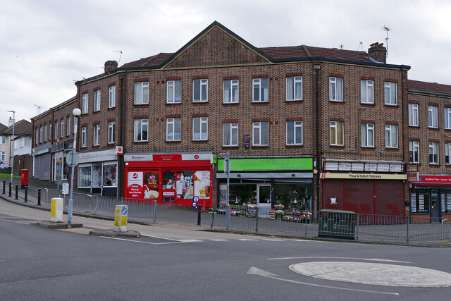
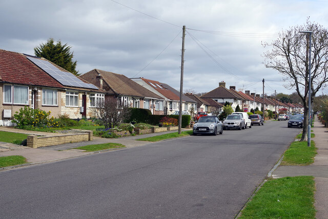
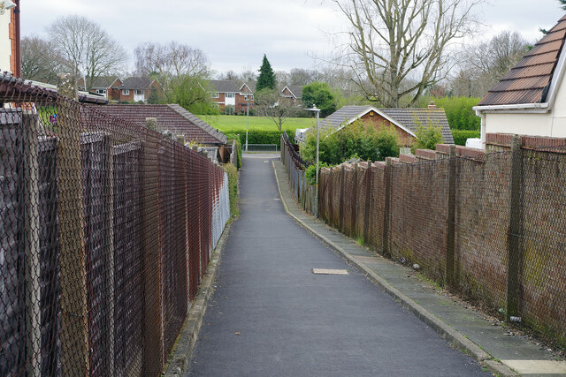
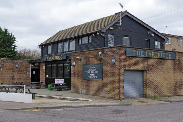
Merry Hill Images

Images are sourced within 2km of 51.636983/-0.36196215 or Grid Reference TQ1394. Thanks to Geograph Open Source API. All images are credited.

Moatview Court, Bushey
Old Boundary Marker on the A4140 Bushey High Road County Boundary Marker on the northeast side of the A4140 High Road, Bushey Heath, southeast of the entrance to Hartsbourne Park. Grade II Listed details <span class="nowrap"><a title="https://historicengland.org.uk/listing/the-list/list-entry/1173470" rel="nofollow ugc noopener" href="https://historicengland.org.uk/listing/the-list/list-entry/1173470">Link</a><img style="margin-left:2px;" alt="External link" title="External link - shift click to open in new window" src="https://s1.geograph.org.uk/img/external.png" width="10" height="10"/></span>.

Milestone Society National ID: HE_BUSHcb
Old Boundary Marker on the A4140 Bushey High Road
County Boundary Marker on the northeast side of the A4140 High Road, Bushey Heath, southeast of the entrance to Hartsbourne Park. Grade II Listed details LinkExternal link. Milestone Society National ID: HE_BUSHcb
The Parade, Carpenders Park The Parade is a typical suburban row of shops located at the junction of Delta Gain and Carpenders Avenue. The businesses include Carpenders Park post office and a florist's shop.
The Parade, Carpenders Park
The Parade is a typical suburban row of shops located at the junction of Delta Gain and Carpenders Avenue. The businesses include Carpenders Park post office and a florist's shop.
Carpenders Avenue, Carpenders Park Carpenders Park is very much an outer London suburb although it is situated outside the Greater London area. The development took place either side of the Second World War and the housing is typical of its time including a significant number of bungalows. The name is derived from a local manor house that was demolished in 1960 but has perhaps survived because it was given to the nearby railway station.
Carpenders Avenue, Carpenders Park
Carpenders Park is very much an outer London suburb although it is situated outside the Greater London area. The development took place either side of the Second World War and the housing is typical of its time including a significant number of bungalows. The name is derived from a local manor house that was demolished in 1960 but has perhaps survived because it was given to the nearby railway station.
Path to The Mead, Carpenders Park Designated a public footpath, and signed accordingly, this route cuts through between the houses on Carpenders Avenue and The Mead at the bottom.
Path to The Mead, Carpenders Park
Designated a public footpath, and signed accordingly, this route cuts through between the houses on Carpenders Avenue and The Mead at the bottom.
The Partridge, Carpenders Park Not, in all honesty, a particularly prepossessing looking pub externally, the Partridge offers cask ales, Sky Sports and pub games and is a short walk from Carpenders Park station.
The Partridge, Carpenders Park
Not, in all honesty, a particularly prepossessing looking pub externally, the Partridge offers cask ales, Sky Sports and pub games and is a short walk from Carpenders Park station.
Carpenders Park Station Carpenders Park is a stop on the London Overground route between Euston and Watford Junction. The pedestrian tunnel passes under the West Coast Main Line and gives access to the island platform on the 'DC lines'. It also connects Carpenders Park to the east of the railway and South Oxhey to the west - two outer suburbs with very different characters. The original station here (located to the north of the current one) was opened in 1914 to serve a nearby golf course in what was then a very rural area. The modern structure was opened in 1952. Note the bewildering number of safety signs visible in this view: 'No rollerblading, skating or cycling'; 'No smoking'; 'No alcohol'; 'CCTV cameras in operation'; 'No cycling'; 'Bicycle restrictions'; 'No trespassing' (three in all); 'Danger electricity'; and 'Danger overhead live wires'.
Carpenders Park Station
Carpenders Park is a stop on the London Overground route between Euston and Watford Junction. The pedestrian tunnel passes under the West Coast Main Line and gives access to the island platform on the 'DC lines'. It also connects Carpenders Park to the east of the railway and South Oxhey to the west - two outer suburbs with very different characters. The original station here (located to the north of the current one) was opened in 1914 to serve a nearby golf course in what was then a very rural area. The modern structure was opened in 1952. Note the bewildering number of safety signs visible in this view: 'No rollerblading, skating or cycling'; 'No smoking'; 'No alcohol'; 'CCTV cameras in operation'; 'No cycling'; 'Bicycle restrictions'; 'No trespassing' (three in all); 'Danger electricity'; and 'Danger overhead live wires'.
Mansion House Drive, Bentley Priory The original Priory housed a cell of Augustinian Friars believed to be founded by Ranulf de Glanville in 1170. He was the first Englishman to be killed in the Crusades. The Priory was dissolved in the 1530s. After 1766, the house was built on higher ground to the north of the site of the original Priory.

In the late 18th century, Sir John Soane was brought in to extend and refurbish the house. At the end of the 19th century it was converted into a hotel but this failed financially and from 1908 until 1924 the building was a girls' boarding school.

From 1926 until 2008 it was owned by the Royal Air Force and during the Battle of Britain it was the headquarters of Fighter Command. The Air Chief Marshal, Sir Hugh Dowding, was based here as was the Operations Room. In 2013, Bentley Priory Museum was opened, focusing on Bentley Priory's pivotal role during the Battle of Britain and Sir Hugh Dowding. as well as many others. 

In 1926, the Priory Estate was split into lots and sold. The Air Ministry bought the Mansion House and 40 acres of land, with the remaining 240 acres sold for building purposes and Green Belt land. Parts of it are now a very exclusive estate. This is Mansion House Drive which is followed on the way from The Common to the Museum.
Mansion House Drive, Bentley Priory
The original Priory housed a cell of Augustinian Friars believed to be founded by Ranulf de Glanville in 1170. He was the first Englishman to be killed in the Crusades. The Priory was dissolved in the 1530s. After 1766, the house was built on higher ground to the north of the site of the original Priory. In the late 18th century, Sir John Soane was brought in to extend and refurbish the house. At the end of the 19th century it was converted into a hotel but this failed financially and from 1908 until 1924 the building was a girls' boarding school. From 1926 until 2008 it was owned by the Royal Air Force and during the Battle of Britain it was the headquarters of Fighter Command. The Air Chief Marshal, Sir Hugh Dowding, was based here as was the Operations Room. In 2013, Bentley Priory Museum was opened, focusing on Bentley Priory's pivotal role during the Battle of Britain and Sir Hugh Dowding. as well as many others. In 1926, the Priory Estate was split into lots and sold. The Air Ministry bought the Mansion House and 40 acres of land, with the remaining 240 acres sold for building purposes and Green Belt land. Parts of it are now a very exclusive estate. This is Mansion House Drive which is followed on the way from The Common to the Museum.
Old Boundary Marker on the A411 Lower High Street, Watford Turnpike Terminus Marker on the northeast side of the A411 Lower High Street in Watford. In raised lettering SPARROWS / HERNE / TRUST. See <span class="nowrap"><a title="https://en.wikipedia.org/wiki/Sparrows_Herne_Turnpike_Road" rel="nofollow ugc noopener" href="https://en.wikipedia.org/wiki/Sparrows_Herne_Turnpike_Road">Link</a><img style="margin-left:2px;" alt="External link" title="External link - shift click to open in new window" src="https://s1.geograph.org.uk/img/external.png" width="10" height="10"/></span>. Grade II Listed details <span class="nowrap"><a title="https://historicengland.org.uk/listing/the-list/list-entry/1250997" rel="nofollow ugc noopener" href="https://historicengland.org.uk/listing/the-list/list-entry/1250997">Link</a><img style="margin-left:2px;" alt="External link" title="External link - shift click to open in new window" src="https://s1.geograph.org.uk/img/external.png" width="10" height="10"/></span>. See also <a title="https://www.geograph.org.uk/photo/4803063" href="https://www.geograph.org.uk/photo/4803063">Link</a>.

Milestone Society National ID: HE_WFSHt
Old Boundary Marker on the A411 Lower High Street, Watford
Turnpike Terminus Marker on the northeast side of the A411 Lower High Street in Watford. In raised lettering SPARROWS / HERNE / TRUST. See LinkExternal link. Grade II Listed details LinkExternal link. See also Link. Milestone Society National ID: HE_WFSHt
Alpine walk, Bushy Heath Near the 'highest point' in Middlesex!
Alpine walk, Bushy Heath
Near the 'highest point' in Middlesex!
Crossroads, Bushy Heath The highest point in Middlesex, (on the border with Hertfordshire).
Crossroads, Bushy Heath
The highest point in Middlesex, (on the border with Hertfordshire).
Magpie Hall Road
Magpie Hall Road
Harvester, Bushey Heath
Esso Petrol Station, Bushey Heath
St Andrew's Methodist Church
Parade of shops on High Road, Bushey Heath
Shops on High Road
Shops on High Road
Show me another place!

Merry Hill is located at Grid Ref: TQ1394 (Lat: 51.636983, Lng: -0.36196215)

Administrative County: Hertfordshire

District: Hertsmere

Police Authority: Hertfordshire

What 3 Words

///lunch.pills.radar. Near Bushey, Hertfordshire

Nearby Locations

Merry Hill Merry Hill

Related Wikis

St Margaret's School, Bushey

St Margaret's School is an independent co-educational boarding and day school for pupils aged 2–18 in Bushey, Hertfordshire. As well as day places, the...

Bushey

Bushey is a town in the Hertsmere borough of Hertfordshire in the East of England. It had a population of 25,328 in the 2011 census, rising to 28,416 in...
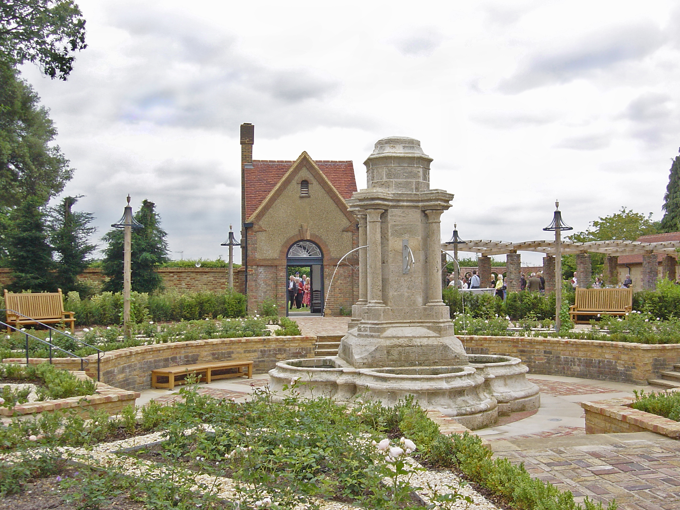
Bushey Rose Garden

Bushey Rose Garden is a rose garden in Bushey, Hertfordshire, England. == History == It was created in 1913 by the noted garden designer Thomas Hayton...

Bushey Studios

Bushey Studios was a British film studio located in Melbourne Road, Bushey, Hertfordshire which operated between 1913 and 1985. The studios were built...

Nearby Amenities

Located within 500m of 51.636983,-0.36196215
Barrier: lift_gate
Lat/Long: 51.6390851/-0.3563765
Barrier: kissing_gate
Foot: yes
Lat/Long: 51.6347683/-0.3613075
Barrier: kissing_gate
Foot: yes
Lat/Long: 51.6330604/-0.3653362
Bench
Backrest: yes
Memorial: plaque
Note: Part of the surrounding area is dedicated in memory of Duncan Nunn 1949-1998 Who loved this special place. Woodland Trust.
Lat/Long: 51.6342963/-0.3671301
Shelter
Description: could be use as a playground
Material: willow
Lat/Long: 51.6371142/-0.3689789
Crossing
Crossing: unmarked
Lat/Long: 51.6365584/-0.3617156
Crossing
Barrier: lift_gate
Crossing: marked
Lat/Long: 51.638092/-0.3615419
Traffic Calming: hump
Lat/Long: 51.6381605/-0.3559726
Direction: 190
Generator Method: photovoltaic
Generator Output Electricity: yes
Generator Solar Modules: 10
Generator Source: solar
Generator Type: solar_photovoltaic_panel
Location: roof
Power: generator
Lat/Long: 51.6365895/-0.3573197
Traffic Calming: hump
Lat/Long: 51.6386436/-0.3561651
Crossing
Crossing: unmarked
Tactile Paving: yes
Lat/Long: 51.6401608/-0.3571361
Crossing
Crossing: marked
Lat/Long: 51.6376187/-0.3608433
Turning Circle
Lat/Long: 51.6382805/-0.3605984
Bench
Lat/Long: 51.6385216/-0.3614849
Bench
Lat/Long: 51.638487/-0.3614732
Bench
Lat/Long: 51.6385144/-0.3614175
Bench
Lat/Long: 51.638565/-0.3614862
Bench
Lat/Long: 51.6385272/-0.3615393
Crossing
Crossing: marked
Lat/Long: 51.637568/-0.3623991
Crossing
Crossing: marked
Lat/Long: 51.6370331/-0.3608057
Crossing
Crossing: marked
Lat/Long: 51.6370251/-0.3604189
Crossing
Crossing: marked
Lat/Long: 51.6369115/-0.3607499
Crossing
Crossing: marked
Lat/Long: 51.6368652/-0.3602304
Crossing
Crossing: marked
Lat/Long: 51.6366186/-0.3600051
Crossing
Crossing: marked
Lat/Long: 51.6362349/-0.3606098
Crossing
Crossing: marked
Lat/Long: 51.6360943/-0.3610064
Give Way
Lat/Long: 51.6369164/-0.3612357
Crossing
Crossing: unmarked
Lat/Long: 51.6366367/-0.3610692
Give Way
Direction: forward
Lat/Long: 51.6367549/-0.3615378
Give Way
Direction: backward
Lat/Long: 51.638329/-0.3559156
Give Way
Direction: backward
Lat/Long: 51.6401799/-0.3569706
Give Way
Direction: backward
Lat/Long: 51.6401755/-0.3570796
The data included in this document is from www.openstreetmap.org. The data is made available under ODbL.

Have you been to Merry Hill?

Leave your review of Merry Hill below (or comments, questions and feedback).