Cissbury Plantation
Wood, Forest in Sussex Worthing
England
Cissbury Plantation
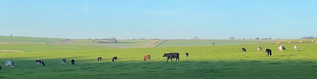
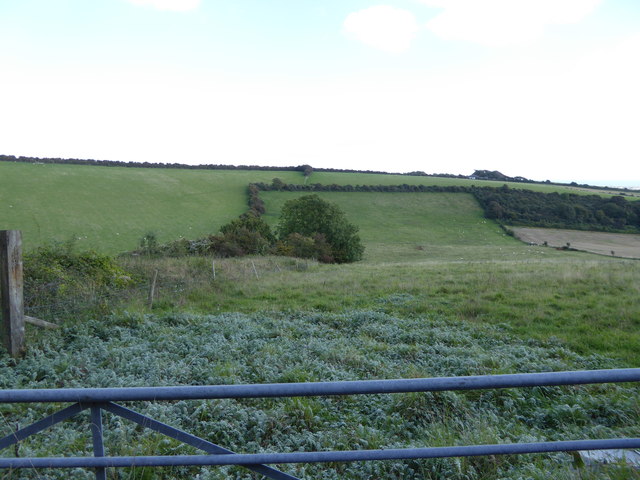
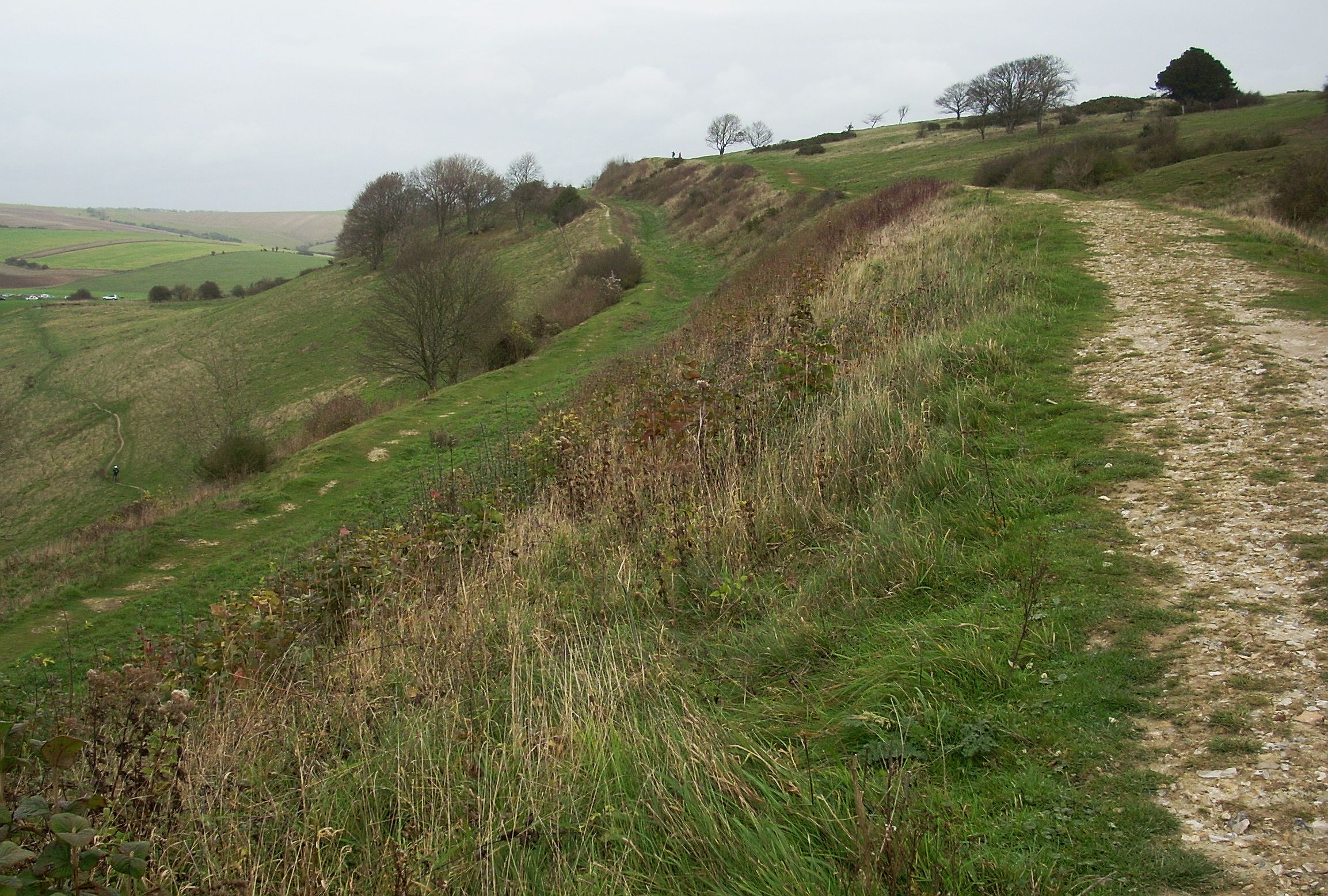
Cissbury Plantation is a picturesque wood located in Sussex, England. Spanning an area of approximately 850 acres, it is considered one of the largest and most diverse forests in the region. The plantation is nestled within the South Downs National Park, offering visitors a stunning natural landscape to explore.
The wood is primarily composed of a mix of deciduous and coniferous trees, creating a varied and vibrant canopy throughout the year. Native tree species such as oak, beech, and birch dominate the plantation, providing a rich habitat for a diverse range of wildlife. The forest floor is adorned with an array of wildflowers and ferns, further enhancing its natural beauty.
Cissbury Plantation is not only a haven for nature enthusiasts but also holds historical significance. The site is home to an ancient hill fort, known as Cissbury Ring, dating back to the Iron Age. This hill fort is one of the largest and most well-preserved in England, offering a glimpse into the region's ancient past. Visitors can explore the fort's earthworks and ramparts while enjoying panoramic views of the surrounding countryside.
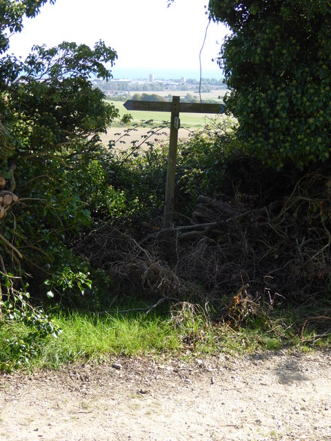
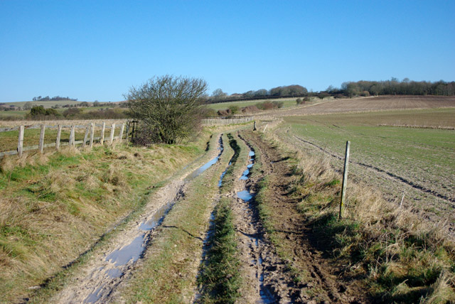
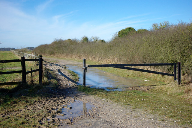
The wood is crisscrossed by a network of well-maintained footpaths and trails, making it a popular destination for walkers, hikers, and cyclists. These paths lead visitors through a variety of landscapes, from dense woodland to open meadows, providing a diverse and enjoyable experience.
Overall, Cissbury Plantation is a captivating destination where visitors can immerse themselves in nature, explore historical landmarks, and enjoy the tranquility of the Sussex countryside.
If you have any feedback on the listing, please let us know in the comments section below.
Cissbury Plantation Images
Images are sourced within 2km of 50.857292/-0.38317897 or Grid Reference TQ1307. Thanks to Geograph Open Source API. All images are credited.
![View west across Nepcote Green The building on the left is the Wattle House. It dates from the end of the 1700s when it was used to store wattle hurdles for the sheep pens used during the annual sheep fair. [<span class="nowrap"><a title="https://fancyfreewalks.org/W.Sussex/Findon.pdf" rel="nofollow ugc noopener" href="https://fancyfreewalks.org/W.Sussex/Findon.pdf">Link</a><img style="margin-left:2px;" alt="External link" title="External link - shift click to open in new window" src="https://s1.geograph.org.uk/img/external.png" width="10" height="10"/></span>]](https://s3.geograph.org.uk/geophotos/07/64/87/7648795_e513f30a.jpg)


Cissbury Plantation is located at Grid Ref: TQ1307 (Lat: 50.857292, Lng: -0.38317897)
Administrative County: West Sussex
District: Worthing
Police Authority: Sussex
What 3 Words
///aviators.limbs.still. Near Findon, West Sussex
Nearby Locations
Related Wikis

Worthing Downland Estate
The Worthing Downland Estate, Worthing Downs or Worthing Downland, is an area of land in the South Downs National Park in West Sussex, England, close to...
Cissbury Ring
Cissbury Ring is an 84.2-hectare (208-acre) biological Site of Special Scientific Interest north of Worthing in West Sussex. It is owned by the National...
Cissbury (electoral division)
Cissbury is an electoral division of West Sussex in the United Kingdom, and returns one member to sit on West Sussex County Council. == Extent == The division...

Findon Valley
Findon Valley is a neighbourhood of Worthing, in the borough of Worthing in West Sussex, England. It lies on the A24 road 2.9 miles (4.7 km) north of the...

Worthing Golf Club
Worthing Golf Club is a golf club on the South Downs at Worthing, England. Located close to the Iron Age hill fort of Cissbury Ring in the new South Downs...

Bohunt School Worthing
Bohunt School Worthing (BSW) is an 11–16 mixed secondary school with academy status in Worthing, West Sussex, England. It was established in September...

High Salvington
High Salvington is a neighbourhood of Worthing, in the borough of Worthing in West Sussex, England. It is centred 2.5 miles (4.0 km) northwest of the town...
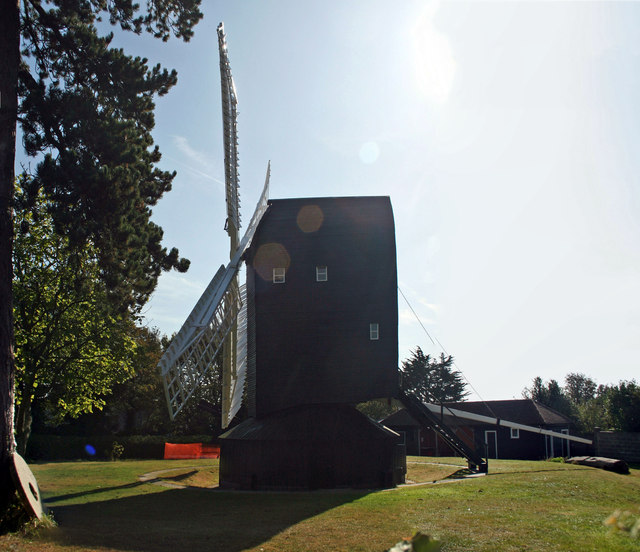
High Salvington Windmill
Durrington or High Salvington Windmill is a Grade II listed post mill in High Salvington, Sussex that has been restored and is in full working order....
Nearby Amenities
Located within 500m of 50.857292,-0.38317897Have you been to Cissbury Plantation?
Leave your review of Cissbury Plantation below (or comments, questions and feedback).