Job's Wood
Wood, Forest in Hertfordshire St. Albans
England
Job's Wood
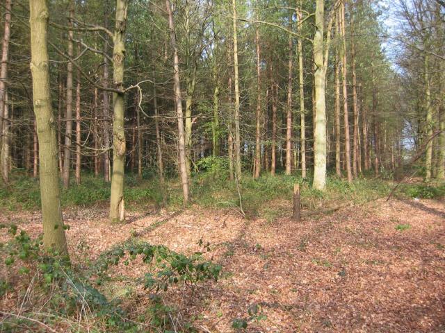
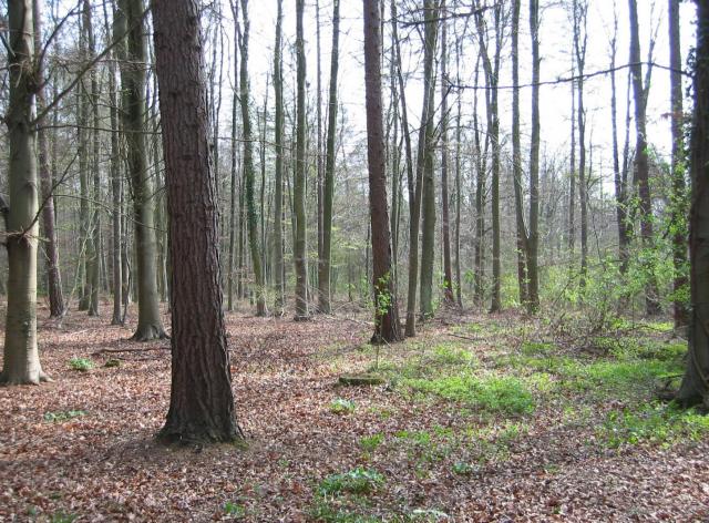
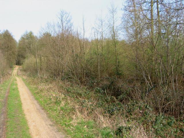
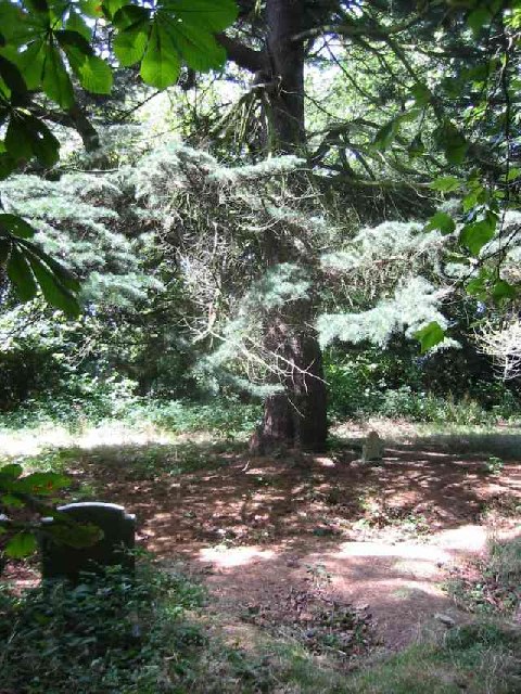
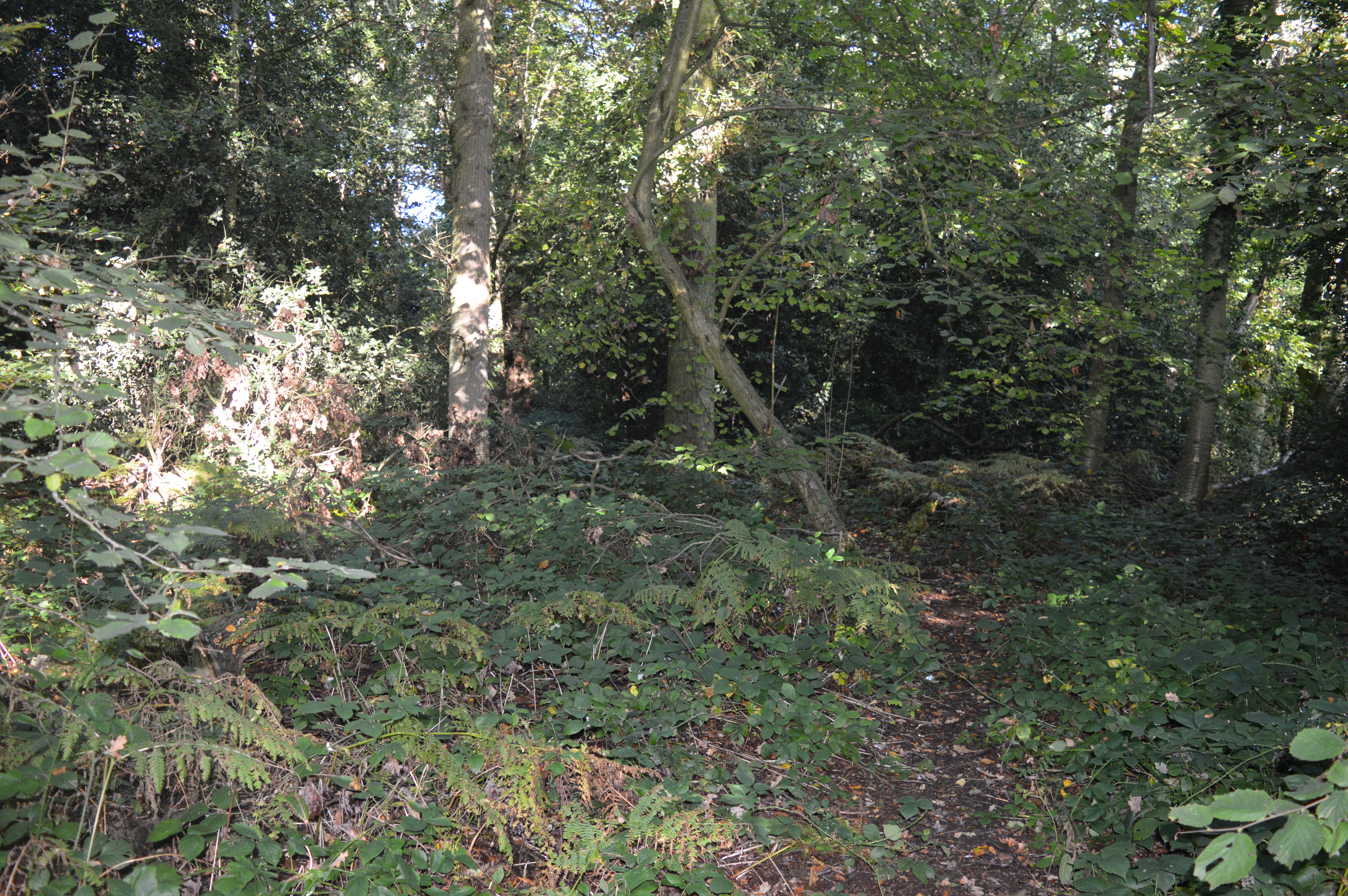
Job's Wood is a picturesque forest located in the county of Hertfordshire, England. Spanning over 100 acres, this woodland area is known for its stunning natural beauty and diverse flora and fauna. It is situated near the village of Essendon, just a few miles north of Hatfield.
The wood is predominantly made up of deciduous trees, including oak, beech, and birch, which provide a lush canopy during the summer months. This creates a peaceful and tranquil atmosphere, making it a popular destination for nature enthusiasts, hikers, and wildlife photographers.
Job's Wood is home to a variety of wildlife, including deer, foxes, badgers, and a wide range of bird species. The forest's rich biodiversity also supports countless insects, butterflies, and wildflowers, making it an important ecological site.
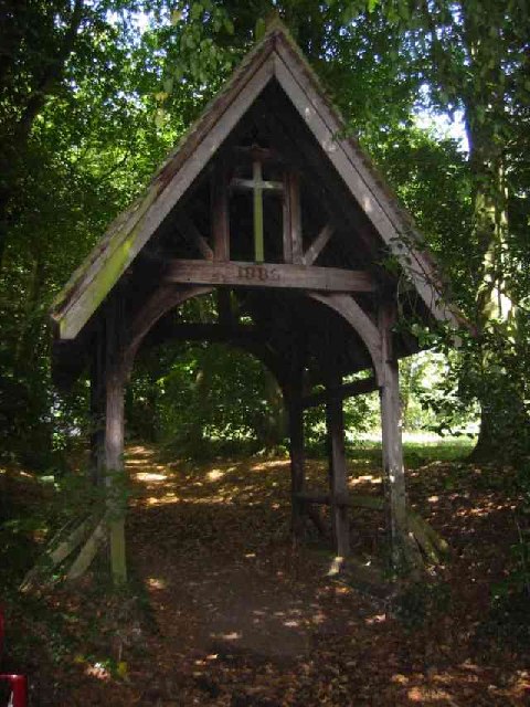
Several well-marked trails wind through the wood, offering visitors the opportunity to explore its enchanting beauty. These pathways lead to hidden glades, meandering streams, and small ponds, adding to the woodland's charm.
The wood is managed by the local council, ensuring its preservation and protection for future generations. It is a designated nature reserve, providing a sanctuary for wildlife and acting as an important habitat for conservation efforts.
Job's Wood offers a peaceful escape from the hustle and bustle of everyday life, allowing visitors to reconnect with nature. Whether it's a leisurely stroll, birdwatching, or simply soaking in the natural surroundings, this enchanting forest provides an idyllic setting for all who venture into its depths.
If you have any feedback on the listing, please let us know in the comments section below.
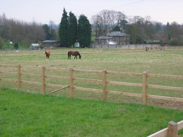
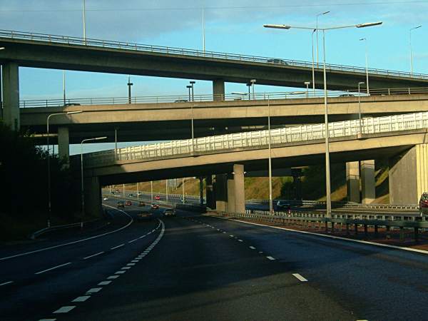
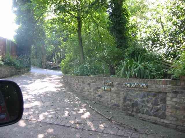
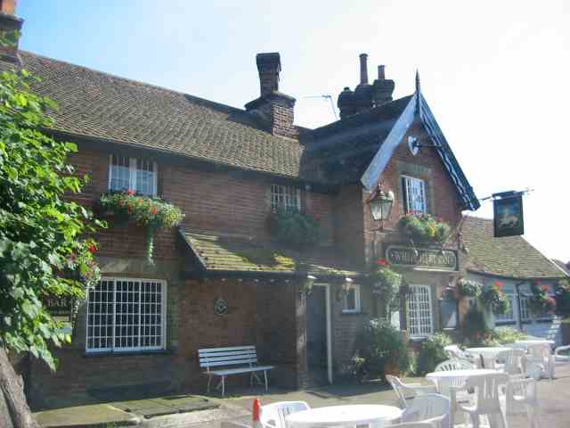
Job's Wood Images
Images are sourced within 2km of 51.719663/-0.40038089 or Grid Reference TL1003. Thanks to Geograph Open Source API. All images are credited.
Job's Wood is located at Grid Ref: TL1003 (Lat: 51.719663, Lng: -0.40038089)
Administrative County: Hertfordshire
District: St. Albans
Police Authority: Hertfordshire
What 3 Words
///flesh.perky.blunt. Near Abbots Langley, Hertfordshire
Nearby Locations
Related Wikis
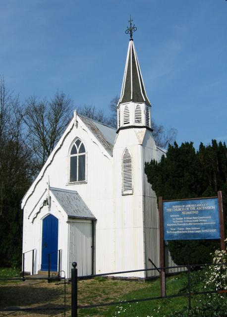
Bedmond
Bedmond is a village in the Three Rivers district of the English ceremonial county of Hertfordshire. It is located around one mile (1.6 km) north of the...
Longspring Wood
Longspring Wood is a 1.2-hectare (3.0-acre) nature reserve managed by the Herts and Middlesex Wildlife Trust in Kings Langley in Hertfordshire.The main...

Bedmond and Primrose Hill
Bedmond and Primrose Hill is a ward in Three Rivers, in England, the United Kingdom. It is located in south-west Hertfordshire, in the East of England...

Leavesden Hospital
Leavesden Mental Hospital was a mental health facility at Leavesden on the outskirts of Abbots Langley in Hertfordshire. == History == The facility was...
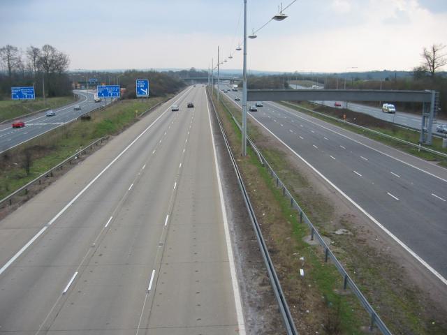
A405 road
The A405 is a 4.8 miles (7.7 km) dual carriageway road in Hertfordshire, England, from the A41 at Leavesden Green, near Watford, to the A414 at Park Street...
Parmiter's School
Parmiter's School is a co-educational state comprehensive school with academy status in Garston, Hertfordshire, close to the outskirts of North West London...
St Michael's Catholic High School
Saint Michael's Catholic High School is a co-educational secondary school and sixth form located in the town of Watford, Hertfordshire. In September 2010...

Potters Crouch
Potters Crouch is a small hamlet in Hertfordshire, England, south-west of St Albans near Chiswell Green. It is in the civil parish of St Michael. ��2...
Nearby Amenities
Located within 500m of 51.719663,-0.40038089Have you been to Job's Wood?
Leave your review of Job's Wood below (or comments, questions and feedback).