Aldermoor Copse

Wood, Forest in Surrey Waverley

England

Aldermoor Copse

Cricket Ground at Ewhurst Green
Cricket Ground at Ewhurst Green Credit: Chris Thomas-Atkin

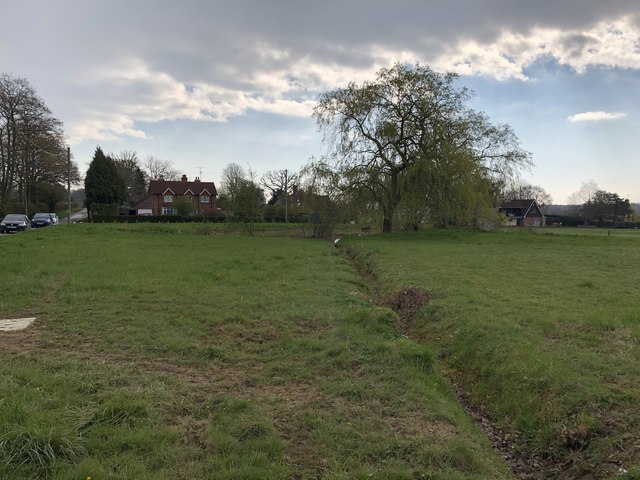
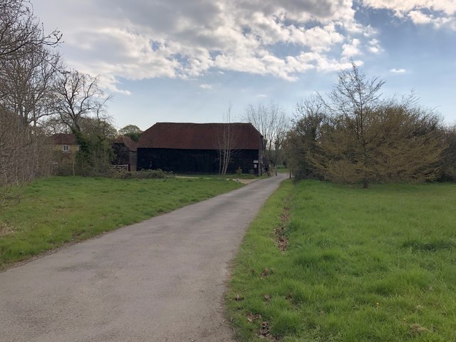
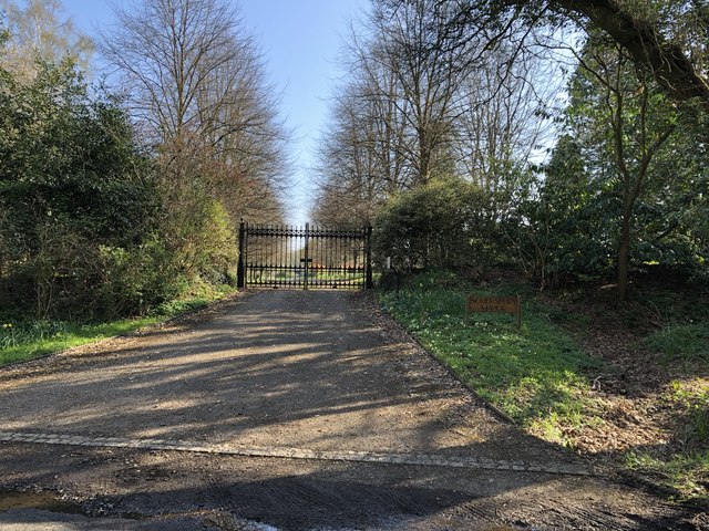
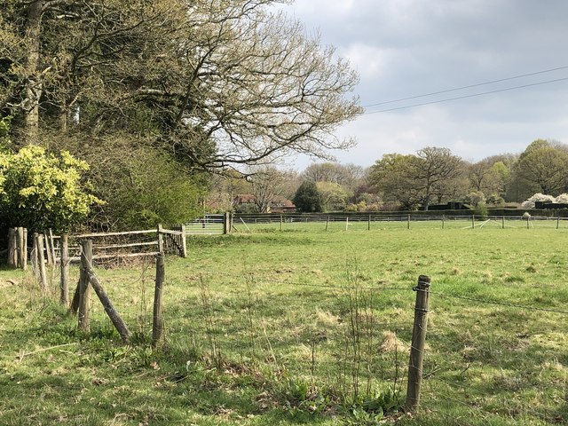
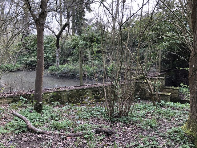
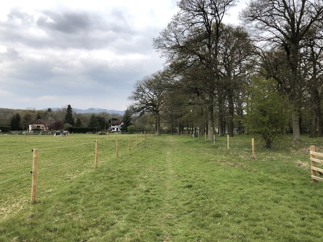
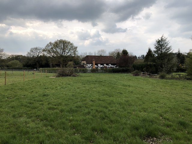
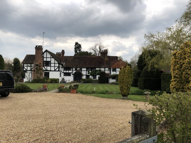
Aldermoor Copse, located in Surrey, England, is a picturesque woodland area known for its abundant natural beauty and diverse ecosystem. Covering an area of approximately 100 hectares, the copse is situated within the larger Surrey Hills Area of Outstanding Natural Beauty.

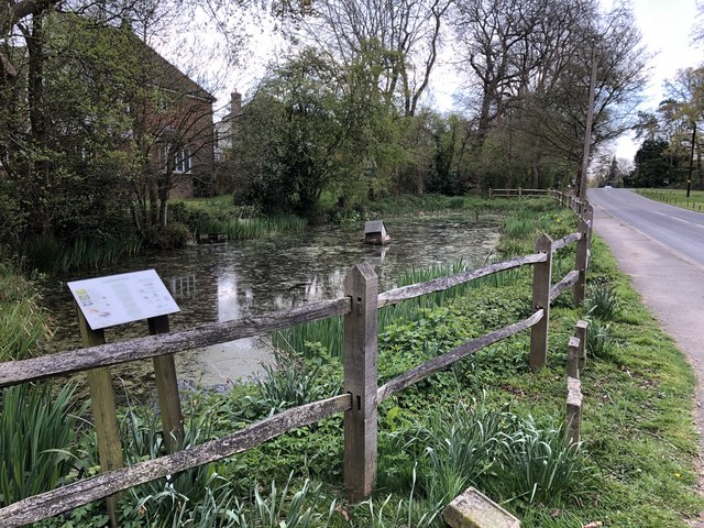
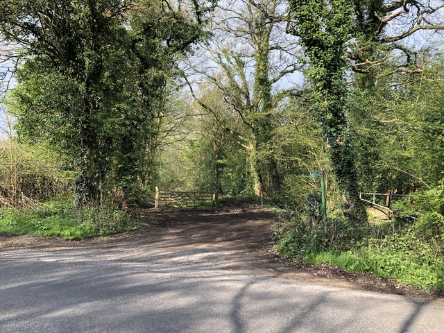
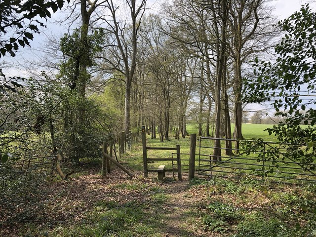
The copse is predominantly composed of a mixture of deciduous and coniferous trees, including oak, beech, and pine, providing a rich and varied habitat for numerous plant and animal species. The forest floor is carpeted with a vibrant array of wildflowers, ferns, and mosses, further enhancing the copse's aesthetic appeal.

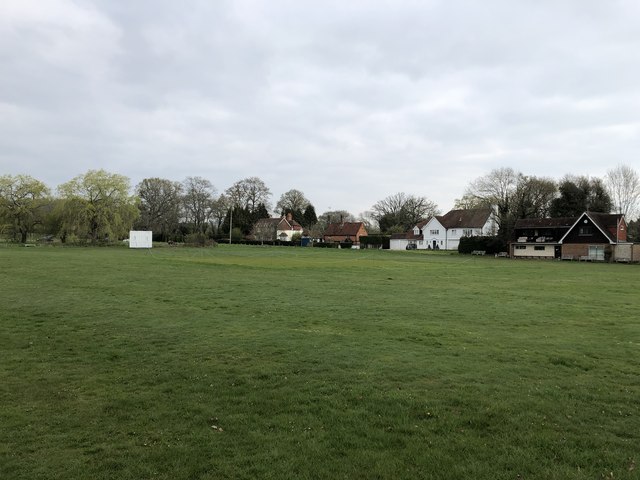
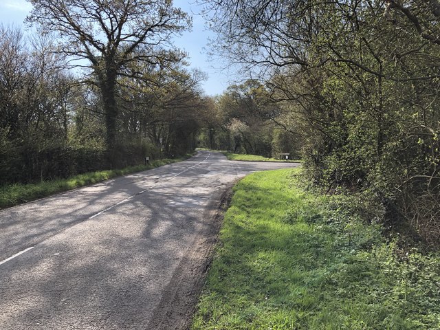
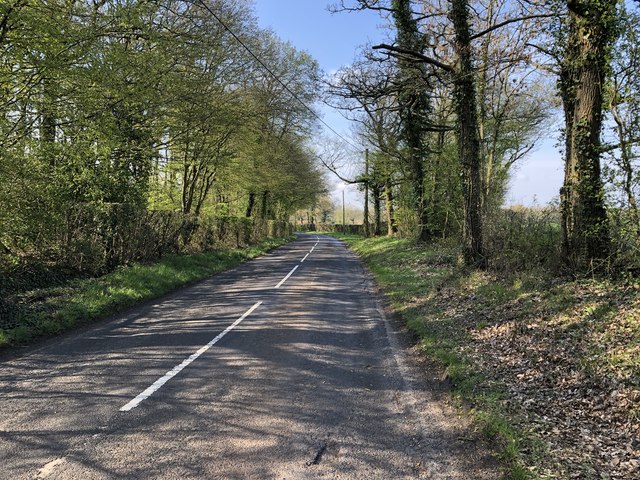
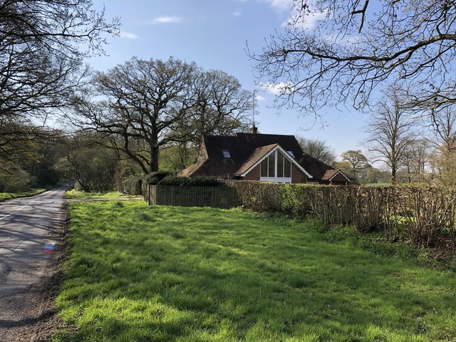
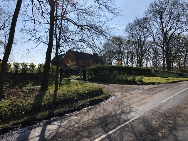
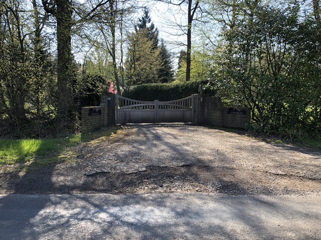
Visitors to Aldermoor Copse can enjoy a variety of recreational activities, such as hiking, birdwatching, and nature photography. The copse is crisscrossed by a network of well-maintained footpaths and trails that allow visitors to explore its enchanting landscapes at their own pace. Along these trails, one can encounter various wildlife species, including deer, squirrels, and a multitude of bird species, making it a haven for nature enthusiasts.

Aldermoor Copse also holds historical significance, as it has been a part of the Surrey landscape for centuries. It has served as a valuable resource for timber and firewood in the past, contributing to the local economy.

Overall, Aldermoor Copse in Surrey is a cherished natural gem, offering a tranquil and immersive experience for those seeking solace in nature's embrace. Its rich biodiversity, scenic vistas, and recreational opportunities make it a must-visit destination for locals and tourists alike.

If you have any feedback on the listing, please let us know in the comments section below.

Aldermoor Copse Images

Images are sourced within 2km of 51.140542/-0.42050679 or Grid Reference TQ1039. Thanks to Geograph Open Source API. All images are credited.

Cricket Ground at Ewhurst Green
Approaching Somersbury Lane On The Green (lane) nearing the junction with Somersbury Lane leaving to the right. Beyond the junction it becomes Horsham Lane.
Approaching Somersbury Lane
On The Green (lane) nearing the junction with Somersbury Lane leaving to the right. Beyond the junction it becomes Horsham Lane.
Somersbury Lane Heading southwest on the lane near Collendene.
Somersbury Lane
Heading southwest on the lane near Collendene.
Larkfield Pond A very well kept looking pond in Ewhurst
Larkfield Pond
A very well kept looking pond in Ewhurst
Pond near Ewhurst Cricket Ground In an earlier Geograph photo the pond was overgrown but it now seems to be cleared and being maintained.
Pond near Ewhurst Cricket Ground
In an earlier Geograph photo the pond was overgrown but it now seems to be cleared and being maintained.
Barn at Rumbeams Farm Rumbeams Farm is at Ewhurst Green and is visible from the passing road ‘The Green’.
Barn at Rumbeams Farm
Rumbeams Farm is at Ewhurst Green and is visible from the passing road ‘The Green’.
Path leaving Somersbury Lane The public footpath leaves the lane at a corner and heads along a ridgeway to Longhurst Hill.
Path leaving Somersbury Lane
The public footpath leaves the lane at a corner and heads along a ridgeway to Longhurst Hill.
House by the entrance to Coxland The house is possibly a former Lodge at the entrance to Coxland from Somersbury Lane.
House by the entrance to Coxland
The house is possibly a former Lodge at the entrance to Coxland from Somersbury Lane.
Entrance to Somersbury Manor The impressive gated entrance to Somersbury Manor. The Manor House is a Grade II listed building.
Entrance to Somersbury Manor
The impressive gated entrance to Somersbury Manor. The Manor House is a Grade II listed building.
Somersbury Cottage The cottage near Somersbury Manor viewed from Somersbury Lane.
Somersbury Cottage
The cottage near Somersbury Manor viewed from Somersbury Lane.
Entrance to Collendene
Stile and gate Approaching a field corner near Bowles Farm.
Stile and gate
Approaching a field corner near Bowles Farm.
Fields near Old House On the public footpath near to Old House.
Fields near Old House
On the public footpath near to Old House.
Ponds near Old House The last in a series of small artificially created ponds.
Ponds near Old House
The last in a series of small artificially created ponds.
Old House The property Old House viewed from the passing public footpath. The house is a Grade II listed building.
Old House
The property Old House viewed from the passing public footpath. The house is a Grade II listed building.
Path towards Slythehurst Heading northwards towards the farmhouse with distant views of the Surrey Hills.
Path towards Slythehurst
Heading northwards towards the farmhouse with distant views of the Surrey Hills.
The Old Barn The Old Barn at Slythehurst.
The Old Barn
The Old Barn at Slythehurst.
Slythehurst The Grade II listed building Slythehurst viewed from the passing public footpath. For further details see <span class="nowrap"><a title="https://historicengland.org.uk/listing/the-list/list-entry/1352801" rel="nofollow ugc noopener" href="https://historicengland.org.uk/listing/the-list/list-entry/1352801">Link</a><img style="margin-left:2px;" alt="External link" title="External link - shift click to open in new window" src="https://s1.geograph.org.uk/img/external.png" width="10" height="10"/></span>
Slythehurst
The Grade II listed building Slythehurst viewed from the passing public footpath. For further details see LinkExternal link
Show me another place!

Aldermoor Copse is located at Grid Ref: TQ1039 (Lat: 51.140542, Lng: -0.42050679)

Administrative County: Surrey

District: Waverley

Police Authority: Surrey

What 3 Words

///nappy.ditching.culminate. Near Ewhurst, Surrey

Related Wikis

Wallis Wood

Wallis Wood is a 14-hectare (35-acre) nature reserve south-east of Ewhurst in Surrey. It is managed by the Surrey Wildlife Trust.A stream runs through...

Smokejack Clay Pit

Smokejack Clay Pit is a 56-hectare (140-acre) geological Site of Special Scientific Interest east of Cranleigh in Surrey. It is a Geological Conservation...

Ewhurst, Surrey

Ewhurst is a rural village and civil parish in the borough of Waverley in Surrey, England. It is located 8.3 miles (13.4 km) south-east of Guildford,...

Sayer's Croft LNR

Sayer's Croft is a 10.9-hectare (27-acre) Local Nature Reserve west of Ewhurst in Surrey. It is owned by the Sayer's Croft Environmental Education Trust...

Sayers Croft

Sayers Croft is a large outdoor 'learning camp' located in the village of Ewhurst, Surrey. It is one of the few remaining 'Camp schools' built by the National...

Longhurst Lodge

Longhurst Lodge is a Grade II listed building in Cranleigh, Surrey, England. It is located on the former Baynards Park estate, about a quarter of a mile...

Baynards Park

Baynards Park is a 2,000 acres (810 ha) estate and site of a demolished country house with extant outbuildings, privately owned, in the south of the parishes...

High Weald AONB

The High Weald Area of Outstanding Natural Beauty is in south-east England. Covering an area of 1,450 square kilometres (560 sq mi), it takes up parts...

Nearby Amenities

Located within 500m of 51.140542,-0.42050679
Barrier: stile
Lat/Long: 51.1386288/-0.4204235
Barrier: stile
Lat/Long: 51.1387828/-0.4223044
Barrier: stile
Lat/Long: 51.1446971/-0.4177978
The data included in this document is from www.openstreetmap.org. The data is made available under ODbL.

Have you been to Aldermoor Copse?

Leave your review of Aldermoor Copse below (or comments, questions and feedback).