North Breache Wood

Wood, Forest in Surrey Waverley

England

North Breache Wood

Cricket Ground at Ewhurst Green
Cricket Ground at Ewhurst Green Credit: Chris Thomas-Atkin

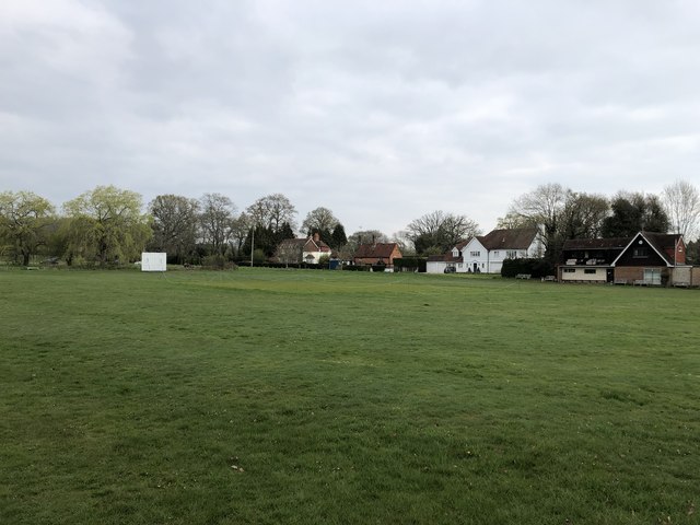
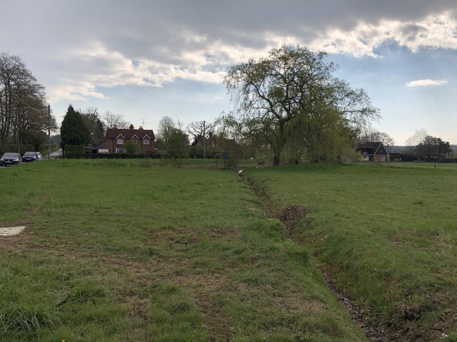
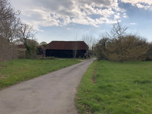
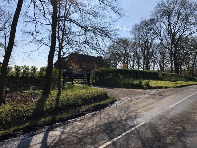
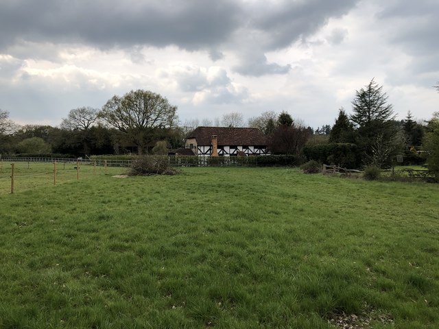
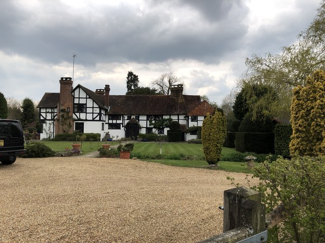
North Breache Wood is a picturesque woodland located in Surrey, England. Covering an area of approximately 100 acres, it is a popular destination for nature enthusiasts and outdoor lovers. The woodland is situated near the village of Gomshall, nestled in the Surrey Hills Area of Outstanding Natural Beauty.

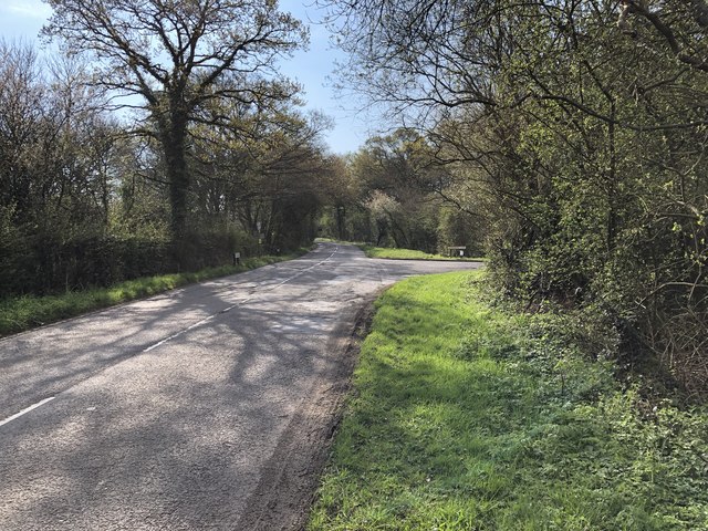
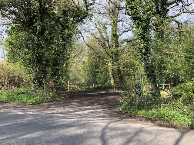
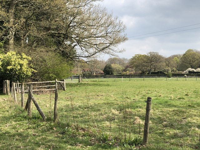
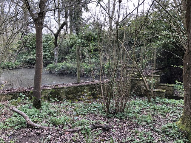
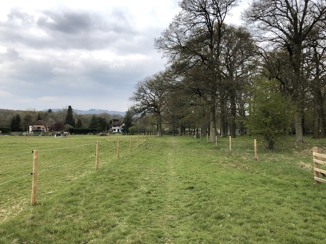
North Breache Wood is predominantly composed of deciduous trees, including oak, beech, and ash, which create a vibrant and diverse canopy. The forest floor is blanketed with a rich carpet of bluebells during the springtime, adding to its enchanting beauty. The wood is crisscrossed with a network of well-maintained footpaths and trails, making it perfect for leisurely walks, hiking, and nature photography.

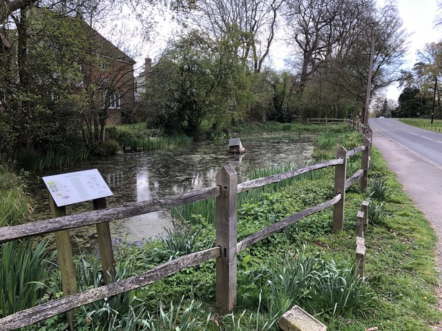
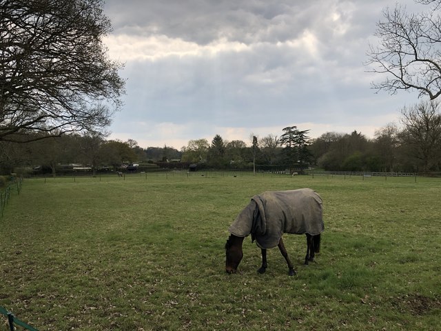
Wildlife thrives in North Breache Wood, with an abundance of bird species, including woodpeckers, thrushes, and owls. The woodland is also home to various mammals, such as deer, foxes, and squirrels. Nature enthusiasts may also catch a glimpse of rare butterflies and other insects that inhabit the area.

Visitors to North Breache Wood can enjoy the tranquil atmosphere and immerse themselves in the serenity of nature. The wood provides an escape from the hustle and bustle of everyday life, offering a peaceful retreat for those seeking solace in the outdoors.

Overall, North Breache Wood is a captivating woodland that showcases the natural beauty of Surrey. Its stunning scenery, diverse flora, and abundant wildlife make it a must-visit destination for nature lovers and those seeking a tranquil escape.

If you have any feedback on the listing, please let us know in the comments section below.

North Breache Wood Images

Images are sourced within 2km of 51.147267/-0.42240752 or Grid Reference TQ1039. Thanks to Geograph Open Source API. All images are credited.

Cricket Ground at Ewhurst Green
Approaching Somersbury Lane On The Green (lane) nearing the junction with Somersbury Lane leaving to the right. Beyond the junction it becomes Horsham Lane.
Approaching Somersbury Lane
On The Green (lane) nearing the junction with Somersbury Lane leaving to the right. Beyond the junction it becomes Horsham Lane.
Larkfield Pond A very well kept looking pond in Ewhurst
Larkfield Pond
A very well kept looking pond in Ewhurst
Pond near Ewhurst Cricket Ground In an earlier Geograph photo the pond was overgrown but it now seems to be cleared and being maintained.
Pond near Ewhurst Cricket Ground
In an earlier Geograph photo the pond was overgrown but it now seems to be cleared and being maintained.
Barn at Rumbeams Farm Rumbeams Farm is at Ewhurst Green and is visible from the passing road ‘The Green’.
Barn at Rumbeams Farm
Rumbeams Farm is at Ewhurst Green and is visible from the passing road ‘The Green’.
Path leaving Somersbury Lane The public footpath leaves the lane at a corner and heads along a ridgeway to Longhurst Hill.
Path leaving Somersbury Lane
The public footpath leaves the lane at a corner and heads along a ridgeway to Longhurst Hill.
House by the entrance to Coxland The house is possibly a former Lodge at the entrance to Coxland from Somersbury Lane.
House by the entrance to Coxland
The house is possibly a former Lodge at the entrance to Coxland from Somersbury Lane.
Entrance to Somersbury Manor The impressive gated entrance to Somersbury Manor. The Manor House is a Grade II listed building.
Entrance to Somersbury Manor
The impressive gated entrance to Somersbury Manor. The Manor House is a Grade II listed building.
Somersbury Cottage The cottage near Somersbury Manor viewed from Somersbury Lane.
Somersbury Cottage
The cottage near Somersbury Manor viewed from Somersbury Lane.
Fields near Old House On the public footpath near to Old House.
Fields near Old House
On the public footpath near to Old House.
Ponds near Old House The last in a series of small artificially created ponds.
Ponds near Old House
The last in a series of small artificially created ponds.
Old House The property Old House viewed from the passing public footpath. The house is a Grade II listed building.
Old House
The property Old House viewed from the passing public footpath. The house is a Grade II listed building.
Path towards Slythehurst Heading northwards towards the farmhouse with distant views of the Surrey Hills.
Path towards Slythehurst
Heading northwards towards the farmhouse with distant views of the Surrey Hills.
The Old Barn The Old Barn at Slythehurst.
The Old Barn
The Old Barn at Slythehurst.
Slythehurst The Grade II listed building Slythehurst viewed from the passing public footpath. For further details see <span class="nowrap"><a title="https://historicengland.org.uk/listing/the-list/list-entry/1352801" rel="nofollow ugc noopener" href="https://historicengland.org.uk/listing/the-list/list-entry/1352801">Link</a><img style="margin-left:2px;" alt="External link" title="External link - shift click to open in new window" src="https://s1.geograph.org.uk/img/external.png" width="10" height="10"/></span>
Slythehurst
The Grade II listed building Slythehurst viewed from the passing public footpath. For further details see LinkExternal link
Fields near Slythehurst On the public footpath looking back towards Slythehurst.
Fields near Slythehurst
On the public footpath looking back towards Slythehurst.
Footpath to Slythehurst Sheep on the public footpath heading towards Slythehurst.
Footpath to Slythehurst
Sheep on the public footpath heading towards Slythehurst.
Approaching Ewhurst On the public footpath from Slythehurst nearing the edge of Ewhurst.
Approaching Ewhurst
On the public footpath from Slythehurst nearing the edge of Ewhurst.
Show me another place!

North Breache Wood is located at Grid Ref: TQ1039 (Lat: 51.147267, Lng: -0.42240752)

Administrative County: Surrey

District: Waverley

Police Authority: Surrey

What 3 Words

///sedative.reserve.waiters. Near Ewhurst, Surrey

Related Wikis

Ewhurst, Surrey

Ewhurst is a rural village and civil parish in the borough of Waverley in Surrey, England. It is located 8.3 miles (13.4 km) south-east of Guildford,...

Wallis Wood

Wallis Wood is a 14-hectare (35-acre) nature reserve south-east of Ewhurst in Surrey. It is managed by the Surrey Wildlife Trust.A stream runs through...

Sayer's Croft LNR

Sayer's Croft is a 10.9-hectare (27-acre) Local Nature Reserve west of Ewhurst in Surrey. It is owned by the Sayer's Croft Environmental Education Trust...

Sayers Croft

Sayers Croft is a large outdoor 'learning camp' located in the village of Ewhurst, Surrey. It is one of the few remaining 'Camp schools' built by the National...

Smokejack Clay Pit

Smokejack Clay Pit is a 56-hectare (140-acre) geological Site of Special Scientific Interest east of Cranleigh in Surrey. It is a Geological Conservation...

Mullard Space Science Laboratory

The UCL Mullard Space Science Laboratory (MSSL) is the United Kingdom's largest university space research group. MSSL is part of the Department of Space...

Joldwynds

Joldwynds is a modernist style house in Holmbury St Mary, Surrey, England, designed by architect Oliver Hill for Wilfred Greene, 1st Baron Greene. Completed...

Marylands

Marylands is a Spanish-style country house on Pitch Hill, a rural part of Ewhurst, Surrey, England. It is a Grade II* listed building, designed during...

Nearby Amenities

Located within 500m of 51.147267,-0.42240752
Barrier: stile
Lat/Long: 51.1478708/-0.4292141
Barrier: stile
Lat/Long: 51.1477549/-0.4291673
Barrier: stile
Lat/Long: 51.14639/-0.4281715
Post Box
Lat/Long: 51.1459466/-0.427676
Barrier: stile
Lat/Long: 51.1446971/-0.4177978
The data included in this document is from www.openstreetmap.org. The data is made available under ODbL.

Have you been to North Breache Wood?

Leave your review of North Breache Wood below (or comments, questions and feedback).