Bottlehouse Copse

Wood, Forest in Sussex Horsham

England

Bottlehouse Copse

Hurlands on Haven Road
Hurlands on Haven Road Credit: David Howard

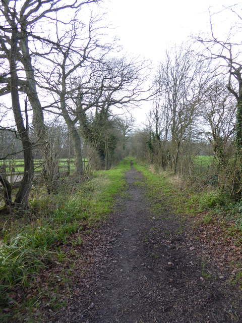
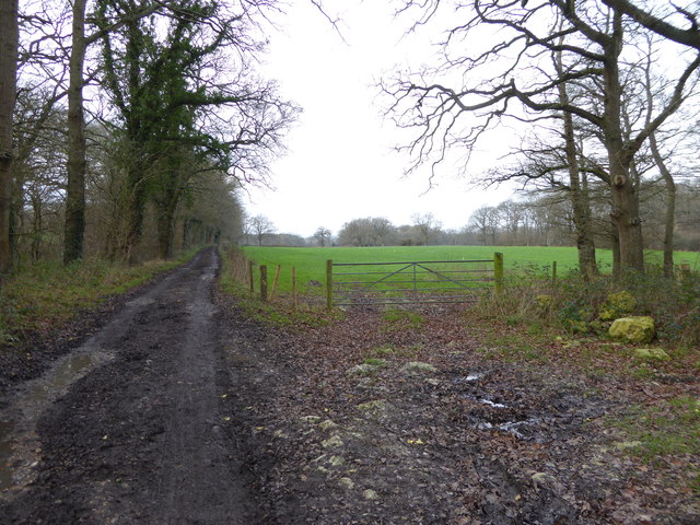
Bottlehouse Copse is a charming woodland area nestled in the heart of Sussex, England. Located just a few miles outside the town of Horsham, this beautiful copse covers an area of approximately 20 acres. It is a popular destination for nature enthusiasts, hikers, and those seeking a tranquil escape from the bustling city.

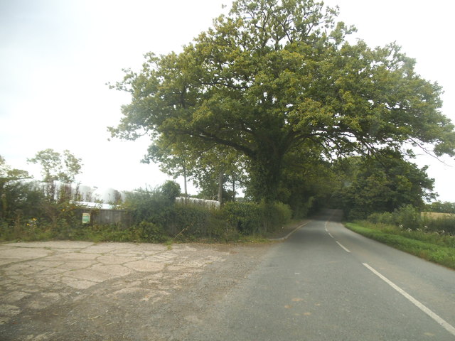
The copse is primarily composed of a mix of deciduous and coniferous trees, including oak, beech, and pine. The tall, majestic trees provide a dense canopy, creating a shaded and cool atmosphere even on hot summer days. The forest floor is covered with a thick carpet of moss, ferns, and wildflowers, adding to the copse's natural beauty.

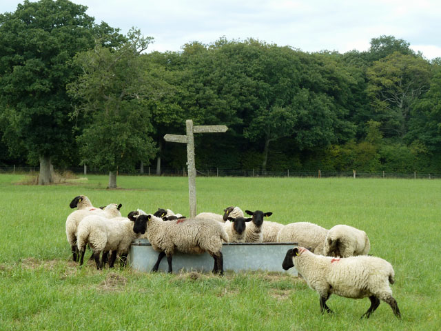
A network of well-maintained footpaths winds its way through Bottlehouse Copse, allowing visitors to explore and immerse themselves in its serene surroundings. Along these paths, one can encounter a variety of wildlife, including squirrels, deer, and a diverse array of bird species.

The copse also features a small stream that meanders through its heart, adding to the peaceful ambiance. This stream is home to several species of fish and provides a refreshing spot for visitors to relax and enjoy the sounds of nature.

Bottlehouse Copse is managed by the local council, ensuring its preservation and protection for generations to come. It is a designated Site of Special Scientific Interest due to its rich biodiversity and ecological importance.

Overall, Bottlehouse Copse is a hidden gem in Sussex, offering visitors a chance to reconnect with nature and enjoy the tranquility of a beautiful woodland setting.

If you have any feedback on the listing, please let us know in the comments section below.

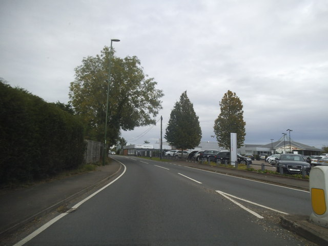
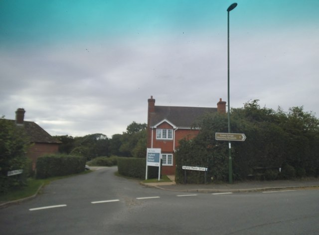
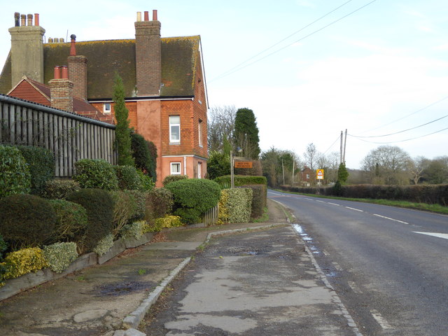
Bottlehouse Copse Images

Images are sourced within 2km of 51.056625/-0.42548978 or Grid Reference TQ1029. Thanks to Geograph Open Source API. All images are credited.

Hurlands on Haven Road
Stane Street looking towards Harwoods Audi garage
Ingfield Manor Drive at the junction of Stane Street
Haven Road, Buckman Corner
Haven Road, The Haven
Cry 'God for Harry! England! and Saint George!'  Good to see the flag being flown.
Cry 'God for Harry! England! and Saint George!'
Good to see the flag being flown.
Looking southwards across bridleway junction on Haven Road See also <a title="https://www.geograph.org.uk/photo/243420" href="https://www.geograph.org.uk/photo/243420">Link</a>.
Looking southwards across bridleway junction on Haven Road
See also Link.
Bed and Breakfast at Five Oaks Farm See <a title="https://www.geograph.org.uk/photo/1594129" href="https://www.geograph.org.uk/photo/1594129">Link</a> from 2009.
Bed and Breakfast at Five Oaks Farm
See Link from 2009.
Bridleway goes west from Five Oaks Farm
Bridleway going east through Ingfield Manor School
Bridleway goes west near Ingfield Manor School
Slinfoldland Farm Viewed from the passing bridleway.
Slinfoldland Farm
Viewed from the passing bridleway.
Railway at Ingfield Manor School The outdoor model railway at Ingfield Manor School viewed from the passing bridleway. A Station sign of Haven Road is visible.
Railway at Ingfield Manor School
The outdoor model railway at Ingfield Manor School viewed from the passing bridleway. A Station sign of Haven Road is visible.
Haven Road Heading northwards on Haven Road towards Bucks Green.
Haven Road
Heading northwards on Haven Road towards Bucks Green.
Solar Farm The Five Oaks Solar Farm by the Haven Road.
Solar Farm
The Five Oaks Solar Farm by the Haven Road.
Sheep at the water trough The footpath is signed with an odd change of direction in the middle of the field, but it seems there used to be a hedgerow here. This sign does not seem to be on the line on the OS maps, but it is unimportant across an otherwise featureless field.
Sheep at the water trough
The footpath is signed with an odd change of direction in the middle of the field, but it seems there used to be a hedgerow here. This sign does not seem to be on the line on the OS maps, but it is unimportant across an otherwise featureless field.
Footpath route near Gamehurst Farm Footpath 1346 passes through the gate, towards the trees, then turns sharp right.
Footpath route near Gamehurst Farm
Footpath 1346 passes through the gate, towards the trees, then turns sharp right.
Five Oaks Audi car dealership
Show me another place!

Bottlehouse Copse is located at Grid Ref: TQ1029 (Lat: 51.056625, Lng: -0.42548978)

Administrative County: West Sussex

District: Horsham

Police Authority: Sussex

What 3 Words

///slides.beard.eggshell. Near Slinfold, West Sussex

Related Wikis

Five Oaks

Five Oaks is a large hamlet in the Horsham District of West Sussex, England. It lies about 1.7 miles (2.8 km) north of Billingshurst on the Roman road...

Slinfold railway station

Slinfold railway station was on the Cranleigh Line and served the village of Slinfold in West Sussex. == History == The line had a single track and opened...

Slinfold

Slinfold is a village and civil parish in the Horsham District of West Sussex, England. == Geography == The village is almost 4 miles (6.4 km) west of...

The Haven, West Sussex

The Haven is a rural hamlet in West Sussex, south east England located about 7 miles to the west of Horsham.The Haven is primarily an agricultural area...

Slinfold Stream and Quarry

Slinfold Stream and Quarry is a 2.3-hectare (5.7-acre) geological Site of Special Scientific Interest west of Horsham in West Sussex. It is a Geological...

Itchingfield

Itchingfield is a small village and civil parish in the Horsham district of West Sussex, England. It lies on the Barns Green to Broadbridge Heath road...

Coppedhall Hanger

Coppedhall Hanger is a 0.6-hectare (1.5-acre) geological Site of Special Scientific Interest north of Billingshurst in West Sussex. It is a Geological...

Barns Green

Barns Green is a village in the Horsham district of West Sussex, England. It lies on the Billingshurst to Itchingfield road 2+1⁄2 miles (4.0 km) north...

Nearby Amenities

Located within 500m of 51.056625,-0.42548978
Post Box
Ref: RH13 76
Lat/Long: 51.05591/-0.4191051
Bus Stop
A29
Bus: yes
Naptan AtcoCode: 4400HR0683
Naptan Bearing: NE
Naptan BusStopType: CUS
Naptan CommonName: A29
Naptan Indicator: HAR
Naptan Landmark: Hail & Ride
Naptan NaptanCode: wsxdwapj
Naptan Street: A29
Naptan Verified: no
Public Transport: platform
Source: naptan_import
Lat/Long: 51.0544583/-0.4279812
Bus Stop
A29
Bus: yes
Naptan AtcoCode: 4400HR0684
Naptan Bearing: SW
Naptan BusStopType: CUS
Naptan CommonName: A29
Naptan Indicator: HAR
Naptan Landmark: Hail & Ride
Naptan NaptanCode: wsxdwapm
Naptan Street: A29
Naptan Verified: no
Public Transport: platform
Source: naptan_import
Lat/Long: 51.0544212/-0.4278969
Bus Stop
A29
Bus: yes
Naptan AtcoCode: 4400HR0685
Naptan Bearing: NE
Naptan BusStopType: CUS
Naptan CommonName: A29
Naptan Indicator: HAR
Naptan Landmark: Hail & Ride
Naptan NaptanCode: wsxdwapt
Naptan Street: A29
Naptan Verified: no
Public Transport: platform
Source: naptan_import
Lat/Long: 51.0589212/-0.424819
Bus Stop
A29
Bus: yes
Naptan AtcoCode: 4400HR0686
Naptan Bearing: SW
Naptan BusStopType: CUS
Naptan CommonName: A29
Naptan Indicator: HAR
Naptan Landmark: Hail & Ride
Naptan NaptanCode: wsxdwapw
Naptan Street: A29
Naptan Verified: no
Public Transport: platform
Source: naptan_import
Lat/Long: 51.0589197/-0.4247049
Lydwicke
Place: locality
Lat/Long: 51.0544367/-0.4229338
Lydwicke Farm
Place: farm
Lat/Long: 51.0559321/-0.4216168
Upper Lydwicke Farm
Place: farm
Lat/Long: 51.056711/-0.4248623
Hayes Grange
Place: farm
Lat/Long: 51.0593031/-0.4199945
Turning Circle
Lat/Long: 51.0566971/-0.4245834
Bottle House Farm
Place: farm
Lat/Long: 51.0603027/-0.4246867
Black Barn Farm
Place: farm
Lat/Long: 51.05803/-0.4299963
Lower Bottle House
Place: isolated_dwelling
Lat/Long: 51.0591547/-0.4256761
The data included in this document is from www.openstreetmap.org. The data is made available under ODbL.

Have you been to Bottlehouse Copse?

Leave your review of Bottlehouse Copse below (or comments, questions and feedback).