Hayes Park
Downs, Moorland in Sussex Horsham
England
Hayes Park

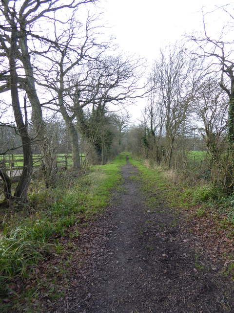
Hayes Park is a stunning natural reserve located in Sussex, England. Situated amidst the picturesque Sussex Downs and Moorland, this park offers visitors a unique opportunity to immerse themselves in the beauty of the British countryside.
Covering an area of approximately 500 acres, Hayes Park is known for its diverse range of habitats, including rolling hills, heathlands, and woodlands. The park's landscape is characterized by its breathtaking panoramic views, lush greenery, and vibrant wildflowers that bloom throughout the year.
The park is home to a multitude of wildlife species, making it a haven for nature lovers and birdwatchers. Visitors can spot various bird species, including skylarks, peregrine falcons, and kestrels, as well as mammals like deer, foxes, and badgers.
For outdoor enthusiasts, Hayes Park offers a network of well-maintained walking trails and cycling routes that wind through its scenic landscapes. These trails cater to all levels of fitness and provide an opportunity to explore the park's diverse flora and fauna.
In addition to its natural beauty, Hayes Park boasts excellent visitor facilities, including picnic areas, children's play areas, and a visitor center that provides information on the park's history, wildlife, and conservation efforts. The center also hosts educational programs and events to engage visitors of all ages.
Hayes Park is a true gem in the heart of Sussex, offering a peaceful and enchanting escape from the hustle and bustle of everyday life. Whether you're a nature lover, an outdoor enthusiast, or simply seeking tranquility, Hayes Park is a must-visit destination that promises to leave a lasting impression.
If you have any feedback on the listing, please let us know in the comments section below.
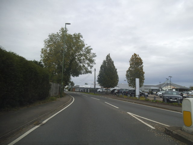
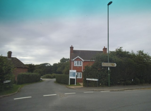
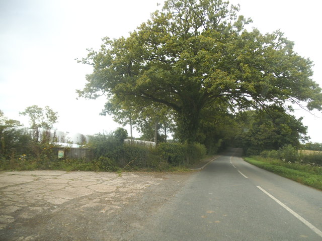
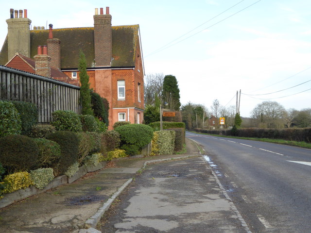
Hayes Park Images
Images are sourced within 2km of 51.050066/-0.41795079 or Grid Reference TQ1029. Thanks to Geograph Open Source API. All images are credited.


Hayes Park is located at Grid Ref: TQ1029 (Lat: 51.050066, Lng: -0.41795079)
Administrative County: West Sussex
District: Horsham
Police Authority: Sussex
What 3 Words
///again.jetting.delighted. Near Slinfold, West Sussex
Nearby Locations
Related Wikis

Five Oaks
Five Oaks is a large hamlet in the Horsham District of West Sussex, England. It lies about 1.7 miles (2.8 km) north of Billingshurst on the Roman road...

Slinfold railway station
Slinfold railway station was on the Cranleigh Line and served the village of Slinfold in West Sussex. == History == The line had a single track and opened...

Itchingfield
Itchingfield is a small village and civil parish in the Horsham district of West Sussex, England. It lies on the Barns Green to Broadbridge Heath road...

Slinfold
Slinfold is a village and civil parish in the Horsham District of West Sussex, England. == Geography == The village is almost 4 miles (6.4 km) west of...

Barns Green
Barns Green is a village in the Horsham district of West Sussex, England. It lies on the Billingshurst to Itchingfield road 2+1⁄2 miles (4.0 km) north...

The Haven, West Sussex
The Haven is a rural hamlet in West Sussex, south east England located about 7 miles to the west of Horsham.The Haven is primarily an agricultural area...

Slinfold Stream and Quarry
Slinfold Stream and Quarry is a 2.3-hectare (5.7-acre) geological Site of Special Scientific Interest west of Horsham in West Sussex. It is a Geological...

Coppedhall Hanger
Coppedhall Hanger is a 0.6-hectare (1.5-acre) geological Site of Special Scientific Interest north of Billingshurst in West Sussex. It is a Geological...
Nearby Amenities
Located within 500m of 51.050066,-0.41795079Have you been to Hayes Park?
Leave your review of Hayes Park below (or comments, questions and feedback).