High Copse
Wood, Forest in Sussex Horsham
England
High Copse

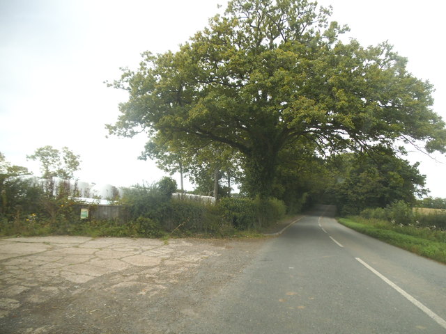
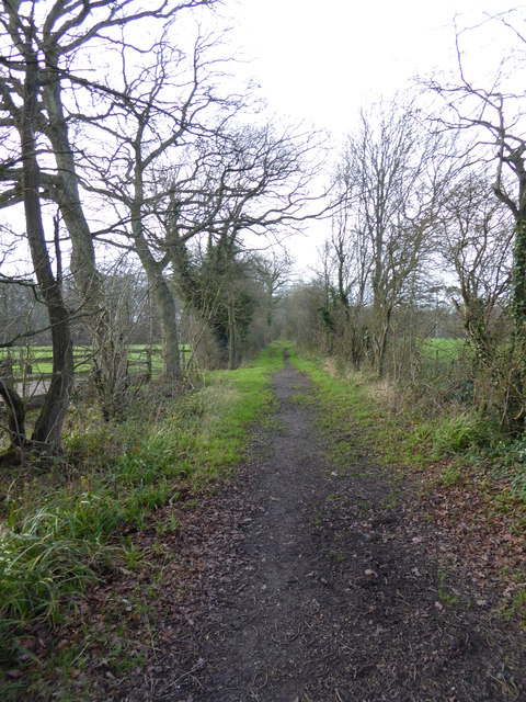
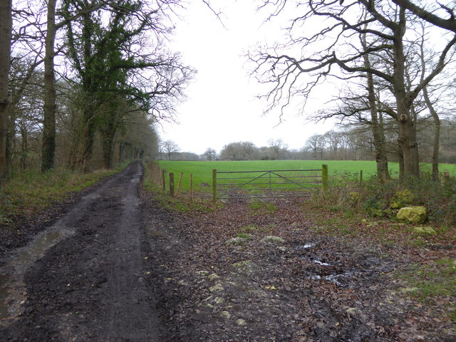
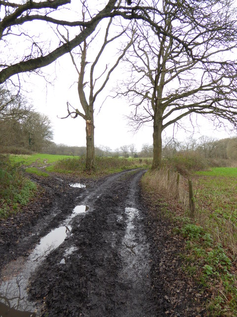
High Copse is a picturesque wood located in Sussex, England. Situated within the South Downs National Park, this enchanting forest covers an area of approximately 100 acres. It is known for its dense and diverse vegetation, consisting mainly of oak, birch, and beech trees.
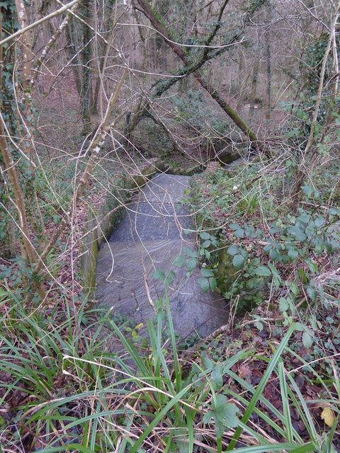
The wood's landscape is characterized by rolling hills, providing visitors with breathtaking views of the surrounding countryside. The forest floor is covered in a vibrant carpet of bluebells during the spring, creating a captivating sight for nature enthusiasts and photographers.
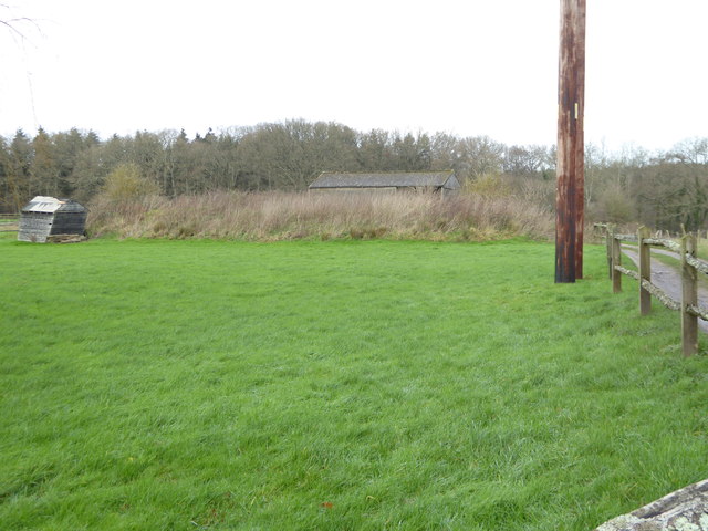
High Copse is home to a wide range of wildlife species. Birdwatchers can spot various avian species, including woodpeckers, owls, and songbirds, while those with a keen eye may catch a glimpse of deer, foxes, and rabbits amongst the trees. The forest's tranquil atmosphere and abundance of wildlife make it a popular destination for nature walks and wildlife spotting.
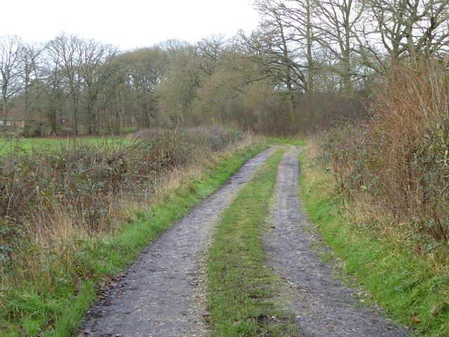
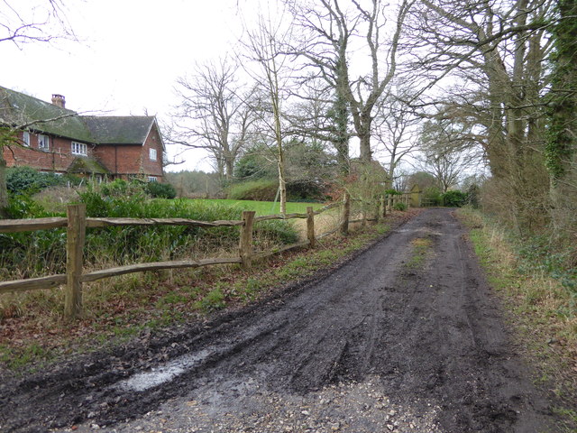
The wood is well-maintained, with several footpaths and trails winding through its heart. These paths offer visitors the opportunity to explore the forest at their own pace, immersing themselves in the natural beauty and serenity of High Copse. Along the trails, visitors can find benches and picnic areas, providing ideal spots to rest and enjoy a packed lunch amidst the scenic surroundings.
High Copse is easily accessible, with a car park located nearby. The wood offers an escape from the hustle and bustle of everyday life, providing visitors with a chance to connect with nature and enjoy the peace and tranquility of this hidden gem in Sussex.
If you have any feedback on the listing, please let us know in the comments section below.
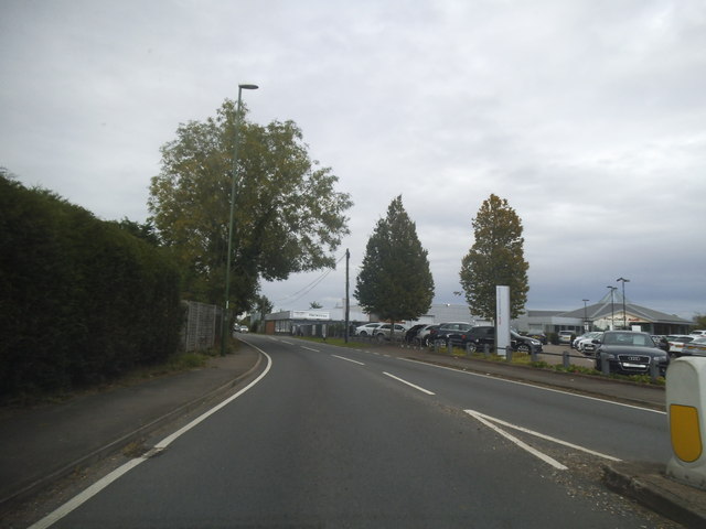
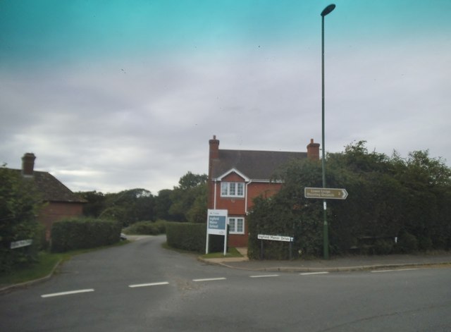
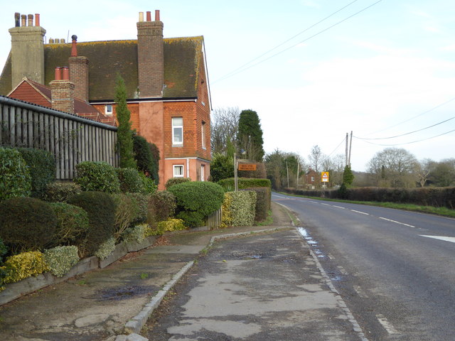
High Copse Images
Images are sourced within 2km of 51.05679/-0.43109201 or Grid Reference TQ1029. Thanks to Geograph Open Source API. All images are credited.


High Copse is located at Grid Ref: TQ1029 (Lat: 51.05679, Lng: -0.43109201)
Administrative County: West Sussex
District: Horsham
Police Authority: Sussex
What 3 Words
///self.troll.lifts. Near Slinfold, West Sussex
Nearby Locations
Related Wikis

Five Oaks
Five Oaks is a large hamlet in the Horsham District of West Sussex, England. It lies about 1.7 miles (2.8 km) north of Billingshurst on the Roman road...

Slinfold railway station
Slinfold railway station was on the Cranleigh Line and served the village of Slinfold in West Sussex. == History == The line had a single track and opened...

The Haven, West Sussex
The Haven is a rural hamlet in West Sussex, south east England located about 7 miles to the west of Horsham.The Haven is primarily an agricultural area...

Slinfold
Slinfold is a village and civil parish in the Horsham District of West Sussex, England. == Geography == The village is almost 4 miles (6.4 km) west of...

Slinfold Stream and Quarry
Slinfold Stream and Quarry is a 2.3-hectare (5.7-acre) geological Site of Special Scientific Interest west of Horsham in West Sussex. It is a Geological...

Coppedhall Hanger
Coppedhall Hanger is a 0.6-hectare (1.5-acre) geological Site of Special Scientific Interest north of Billingshurst in West Sussex. It is a Geological...

Itchingfield
Itchingfield is a small village and civil parish in the Horsham district of West Sussex, England. It lies on the Barns Green to Broadbridge Heath road...

Barns Green
Barns Green is a village in the Horsham district of West Sussex, England. It lies on the Billingshurst to Itchingfield road 2+1⁄2 miles (4.0 km) north...
Nearby Amenities
Located within 500m of 51.05679,-0.43109201Have you been to High Copse?
Leave your review of High Copse below (or comments, questions and feedback).