Harbolet's Copse
Wood, Forest in Sussex Horsham
England
Harbolet's Copse
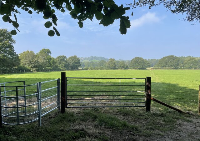
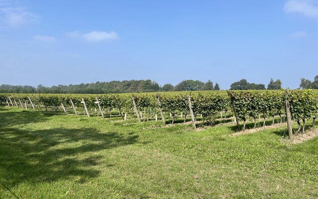
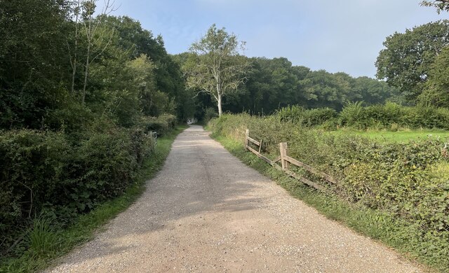
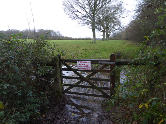
Harbolet's Copse is a picturesque woodland located in Sussex, England. Stretching over an area of approximately 50 acres, it is a stunning example of the natural beauty that Sussex has to offer. The copse is situated on the outskirts of a quaint village, surrounded by rolling hills and meadows.
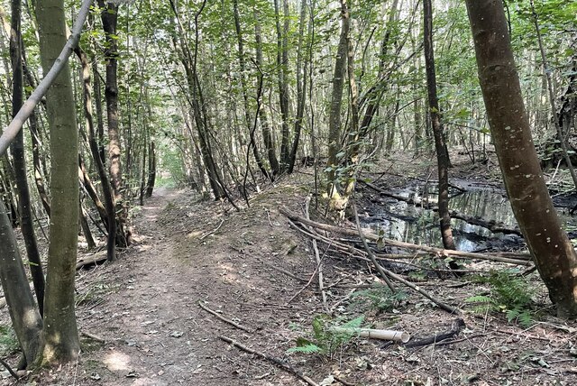
This ancient woodland is predominantly composed of native tree species such as oak, beech, and ash, which form a dense canopy that provides a haven for a variety of wildlife. Walking through Harbolet's Copse, visitors can enjoy a tranquil atmosphere, with sunlight filtering through the leaves and casting dappled shadows on the forest floor.
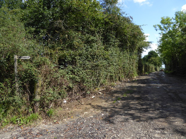
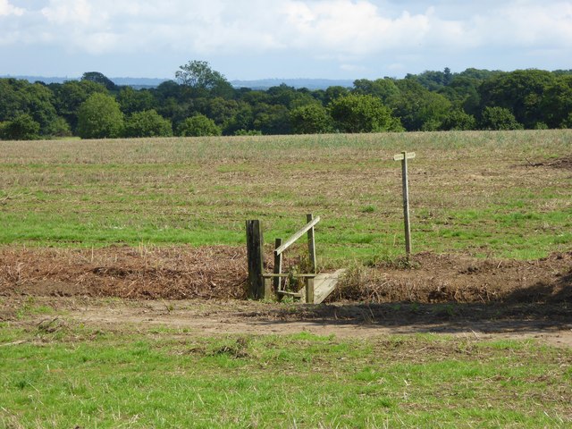
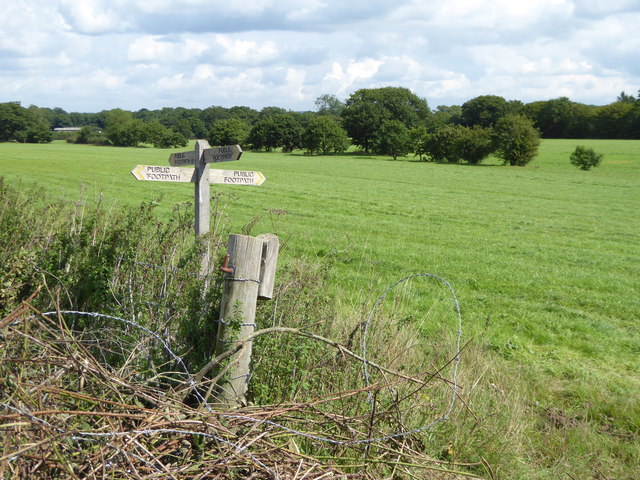
The copse is crisscrossed by a network of footpaths, allowing visitors to explore the woodland at their leisure. There are numerous benches strategically placed along the paths, providing opportunities to rest and take in the peaceful surroundings. As visitors wander through the forest, they may encounter enchanting wildflowers, such as bluebells and primroses, which add bursts of color to the green landscape.
Harbolet's Copse is not only a haven for flora but also for fauna. It is home to a diverse range of wildlife, including deer, foxes, squirrels, and a variety of bird species. Birdwatchers can delight in the sight of woodpeckers, warblers, and owls, among others.
This woodland gem offers a serene escape from the hustle and bustle of everyday life. Whether it's a leisurely stroll, a picnic among the trees, or an opportunity to immerse oneself in nature, Harbolet's Copse is a must-visit destination for nature enthusiasts and those seeking solace in the beauty of the Sussex countryside.
If you have any feedback on the listing, please let us know in the comments section below.
Harbolet's Copse Images
Images are sourced within 2km of 50.976466/-0.43380039 or Grid Reference TQ1020. Thanks to Geograph Open Source API. All images are credited.


Harbolet's Copse is located at Grid Ref: TQ1020 (Lat: 50.976466, Lng: -0.43380039)
Administrative County: West Sussex
District: Horsham
Police Authority: Sussex
What 3 Words
///strongman.receiving.desk. Near Billingshurst, West Sussex
Nearby Locations
Related Wikis

Gay Street, West Sussex
Gay Street is a hamlet in the Horsham District of West Sussex, England. It lies on the North Heath to West Chiltington road 1.9 miles (3.1 km) northeast...

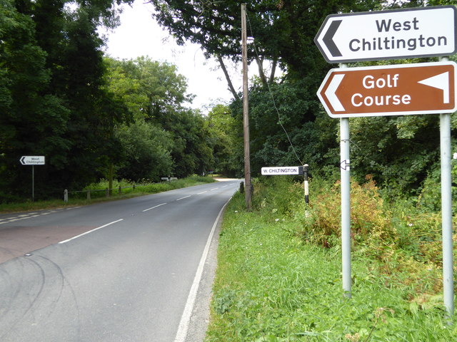
West Chiltington
West Chiltington is a village and civil parish in the Horsham district of West Sussex, England. It lies on the Storrington to Broadford Bridge road, 2...

RAF Coolham
Royal Air Force Coolham or more simply RAF Coolham is a former Royal Air Force Advanced Landing Ground located in West Sussex, England. The following units...
Geoffrey Woolley
Geoffrey Harold Woolley, (14 May 1892 – 10 December 1968) was a British Army infantry officer, Church of England priest, and Second World War military...
Henry Bowreman Foote
Major General Henry Robert Bowreman Foote, (5 December 1904 – 11 November 1993) was a British Army officer and a recipient of the Victoria Cross, the...

St Mary's Church, West Chiltington
St Mary's Church is the Grade I listed Anglican parish church of West Chiltington, a village in the Horsham district of West Sussex, England. The 12th...
Coolham
Coolham is a small village in the civil parish of Shipley and the Horsham District of West Sussex, England. It is located at the crossroads of the A272...
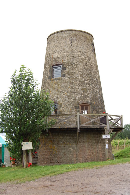
Nutbourne Windmill
Nutbourne Windmill is a tower mill at Nutbourne, Sussex, England which has been converted to retail use. == History == Nutbourne Windmill was built in...
Nearby Amenities
Located within 500m of 50.976466,-0.43380039Have you been to Harbolet's Copse?
Leave your review of Harbolet's Copse below (or comments, questions and feedback).