Aldermen's Gorse

Wood, Forest in Yorkshire

England

Aldermen's Gorse

The farm road to Carr House Farm
The farm road to Carr House Farm Credit: Ian S

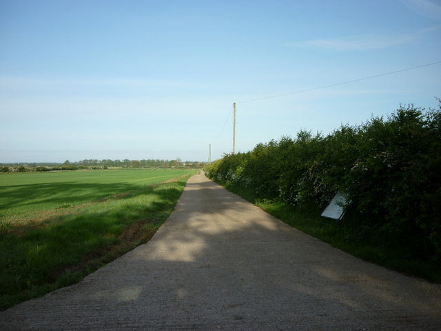
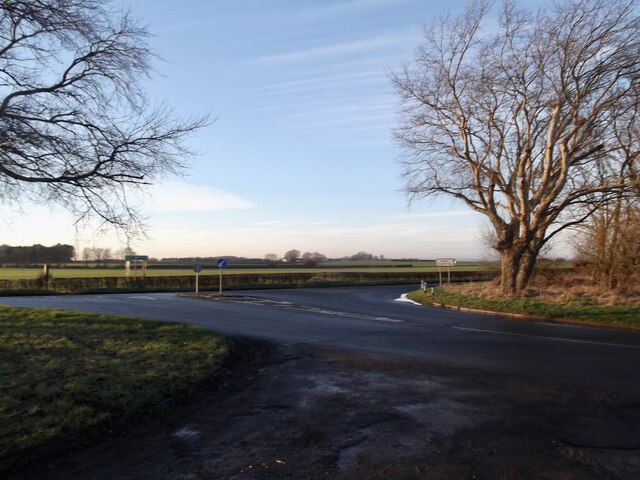
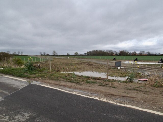
Aldermen's Gorse is a picturesque woodland located in Yorkshire, England. Spread across an area of approximately 50 acres, it is known for its stunning natural beauty and diverse ecosystem. The gorse, a spiny evergreen shrub, dominates the landscape, lending the woodland its name.

The woodland is a haven for wildlife enthusiasts, as it supports a wide range of flora and fauna. The gorse bushes provide shelter and food for various bird species, including the stonechat and the linnet. Additionally, the woodland is home to small mammals like rabbits and squirrels, and occasionally larger mammals such as deer can be spotted.

Visitors to Aldermen's Gorse can enjoy leisurely walks along the well-maintained trails that wind through the woodland. The paths lead visitors through a variety of scenic views, from dense thickets of gorse to open clearings filled with wildflowers. The vibrant colors of the gorse bushes, especially when in bloom, create a stunning visual spectacle.

Although Aldermen's Gorse is predominantly made up of gorse bushes, there are also other tree species interspersed throughout the woodland. These include oak, ash, and birch trees, which provide shade and add to the overall biodiversity of the area.

The woodland is open to the public year-round, and visitors are encouraged to respect the natural environment by following designated trails and not disturbing the wildlife. Aldermen's Gorse offers a tranquil escape from the hustle and bustle of everyday life, allowing visitors to immerse themselves in the beauty of nature.

If you have any feedback on the listing, please let us know in the comments section below.

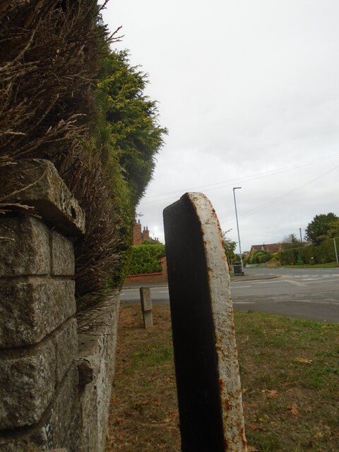
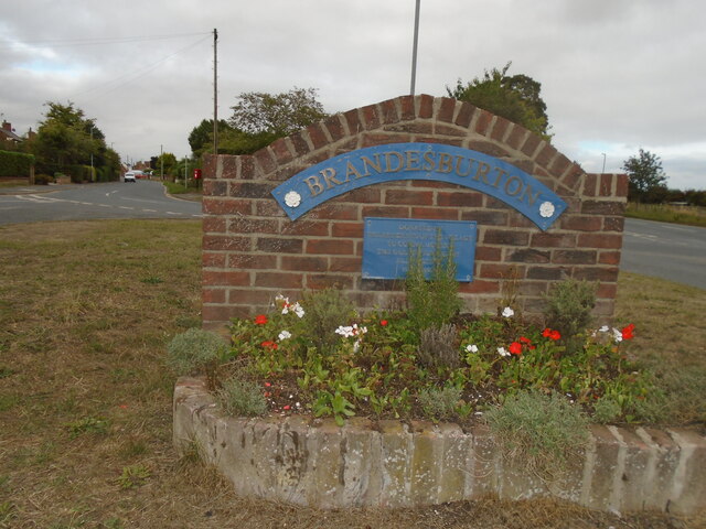
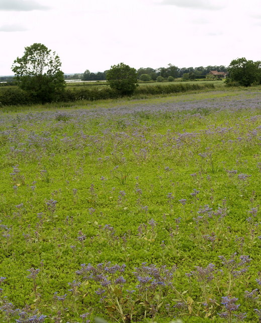
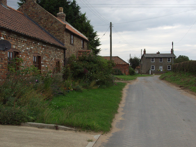
Aldermen's Gorse Images

Images are sourced within 2km of 53.923942/-0.31744041 or Grid Reference TA1048. Thanks to Geograph Open Source API. All images are credited.

The farm road to Carr House Farm
Road junction east of Burshill
At "The Billabong" An old gravel pit is now the heart of a leisure site with caravans, cabins and of course fishing.
At "The Billabong"
An old gravel pit is now the heart of a leisure site with caravans, cabins and of course fishing.
The farmhouse, Burshill Farm
Already preparing for the next crop
Road junction at The Partings
Brandesburton, St Mary's church The benchmark is cut into the north face of the church.
Brandesburton, St Mary's church
The benchmark is cut into the north face of the church.
Brandesburton, St Mary's church There is a benchmark cut into the north face of the church.
Brandesburton, St Mary's church
There is a benchmark cut into the north face of the church.
Off-shore wind farm infrastructure Roads across the fields in both directions here
Off-shore wind farm infrastructure
Roads across the fields in both directions here
By the cross at Brandesburton – 1979 This was on an enthusiast tour, but was recreating the sort of scene, with this type of vehicle, which was shortly to disappear. It is East Yorkshire 786, an AEC Renown with Park Royal bodywork, new in 1965, withdrawal being the result of conversion of services to one-person operation.

This is one of a series of views featuring buses in the 60s, 70s, and 80s. <a title="https://www.geograph.org.uk/search.php?i=137652761" href="https://www.geograph.org.uk/search.php?i=137652761">Link</a> .

The cross probably dates from the 14th century, and was a market cross rather than a wayside or preaching cross. It is Listed Grade II and is also a Scheduled Monument.
By the cross at Brandesburton – 1979
This was on an enthusiast tour, but was recreating the sort of scene, with this type of vehicle, which was shortly to disappear. It is East Yorkshire 786, an AEC Renown with Park Royal bodywork, new in 1965, withdrawal being the result of conversion of services to one-person operation. This is one of a series of views featuring buses in the 60s, 70s, and 80s. Link . The cross probably dates from the 14th century, and was a market cross rather than a wayside or preaching cross. It is Listed Grade II and is also a Scheduled Monument.
St Mary's Church, Brandesburton On St George's Day 2022
St Mary's Church, Brandesburton
On St George's Day 2022
Entrance to Barff House Farm
Old milepost At the southern end of Brandesburton opposite the village sign is this mileplate which would have been set up by the newly formed East Riding CC in the late 19C/early 20C.   The White Cross to Bridlington Turnpike was enacted in 1767 but the original Act was not renewed after the initial 21 years.  It is thought that milestones were not set up.   This plate was found in a pond, repainted by a local resident <a href="https://www.geograph.org.uk/photo/6037970">TA1147 : Old Milepost by Main Street/New Road junction, Brandesburton</a> and set up at its original site by the East Riding Highways unit.
Old milepost
At the southern end of Brandesburton opposite the village sign is this mileplate which would have been set up by the newly formed East Riding CC in the late 19C/early 20C. The White Cross to Bridlington Turnpike was enacted in 1767 but the original Act was not renewed after the initial 21 years. It is thought that milestones were not set up. This plate was found in a pond, repainted by a local resident TA1147 : Old Milepost by Main Street/New Road junction, Brandesburton and set up at its original site by the East Riding Highways unit.
Old milepost This shows the integral metal strut at the back of the milepost opposite the Brandesburton village sign and shows that it was never attached to a stone.
Old milepost
This shows the integral metal strut at the back of the milepost opposite the Brandesburton village sign and shows that it was never attached to a stone.
Village sign At the southern end of Brandesburton where New Road leads off to the right from Main Street is this attractive village sign set up by the residents to commemorate the Queen's Golden Jubilee in 2002.   The village centre is now by-passed by the A165.   The milepost is just to the left at the back of the pavement.   <a href="https://www.geograph.org.uk/photo/7275979">TA1147 : Old milepost</a>
Village sign
At the southern end of Brandesburton where New Road leads off to the right from Main Street is this attractive village sign set up by the residents to commemorate the Queen's Golden Jubilee in 2002. The village centre is now by-passed by the A165. The milepost is just to the left at the back of the pavement. TA1147 : Old milepost
Brandesburton Methodist Church Situated in Main Street, this church is one of nine such churches in the Hornsea Methodist Circuit. Services take place here at 10.30am every Sunday and activities are held during the week. Its postcode is YO25 8RL.
Brandesburton Methodist Church
Situated in Main Street, this church is one of nine such churches in the Hornsea Methodist Circuit. Services take place here at 10.30am every Sunday and activities are held during the week. Its postcode is YO25 8RL.
Bench mark on St Mary's, Brandesburton This bench mark is at the north west corner of the north aisle of the church, not on the tower.
Bench mark on St Mary's, Brandesburton
This bench mark is at the north west corner of the north aisle of the church, not on the tower.
Fallow Field Remnants of last year's borage crop remain in this fallow field.  This photograph was taken in the top right hand side of the square (TA1050) from above the roadside hedgerow - the position (according to a GPS) where this square begins, so it should qualify as a genuine 'Geograph'.
Fallow Field
Remnants of last year's borage crop remain in this fallow field. This photograph was taken in the top right hand side of the square (TA1050) from above the roadside hedgerow - the position (according to a GPS) where this square begins, so it should qualify as a genuine 'Geograph'.
Show me another place!

Aldermen's Gorse is located at Grid Ref: TA1048 (Lat: 53.923942, Lng: -0.31744041)

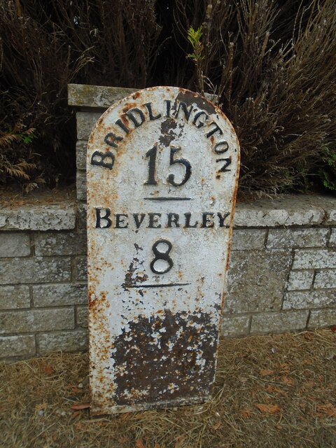
Division: East Riding

Unitary Authority: East Riding of Yorkshire

Police Authority: Humberside

What 3 Words

///indicated.fabric.nooks. Near Brandesburton, East Yorkshire
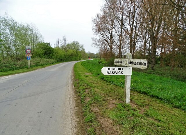
Related Wikis

Burshill

Burshill is a hamlet in the East Riding of Yorkshire, England. It is situated approximately 7 miles (11 km) north-east of the market town of Beverley...
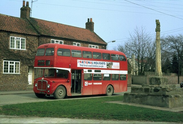
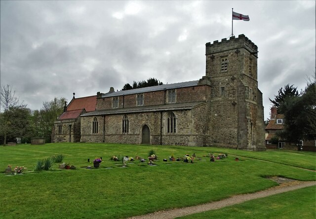
Brandesburton

Brandesburton is a village and civil parish in the East Riding of Yorkshire, England. It is situated approximately 7 miles (11 km) west of Hornsea and...

Hempholme

Hempholme is a hamlet in the East Riding of Yorkshire, England, in an area known as Holderness. It is situated approximately 8 miles (13 km) north-east...

RAF Catfoss

Royal Air Force Catfoss, or more simply RAF Catfoss, is a former Royal Air Force station during the Second World War. It was located 4 miles (6.4 km) west...

Struncheon Hill Lock

Struncheon Hill Lock was built as a later addition to the Driffield Navigation in the East Riding of Yorkshire, England. It improved access to the next...

Tophill Low

Tophill Low is a nature reserve and Site of Special Scientific Interest (SSSI) in the East Riding of Yorkshire, England. The site is also an active water...

Catfoss

Catfoss is a hamlet in the East Riding of Yorkshire, England, in an area known as Holderness. It is situated approximately 5 miles (8 km) west of the town...

Bethells Bridge

Bethells Bridge, a swing bridge on the Driffield Navigation in the East Riding of Yorkshire, England. The bridge was built to access land cut off after...

Have you been to Aldermen's Gorse?

Leave your review of Aldermen's Gorse below (or comments, questions and feedback).