Furzefield Wood
Wood, Forest in Hertfordshire St. Albans
England
Furzefield Wood
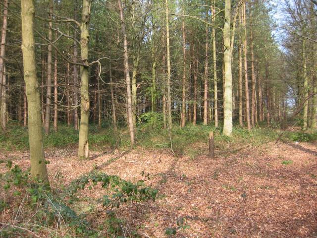
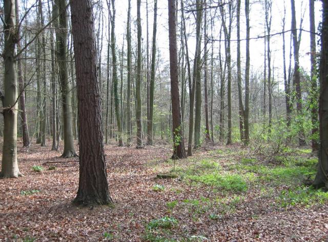
Furzefield Wood is a beautiful woodland located in Hertfordshire, England. Covering an area of approximately 120 acres, it is an enchanting natural haven that offers visitors a serene and peaceful retreat from the hustle and bustle of everyday life.
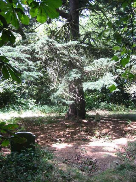
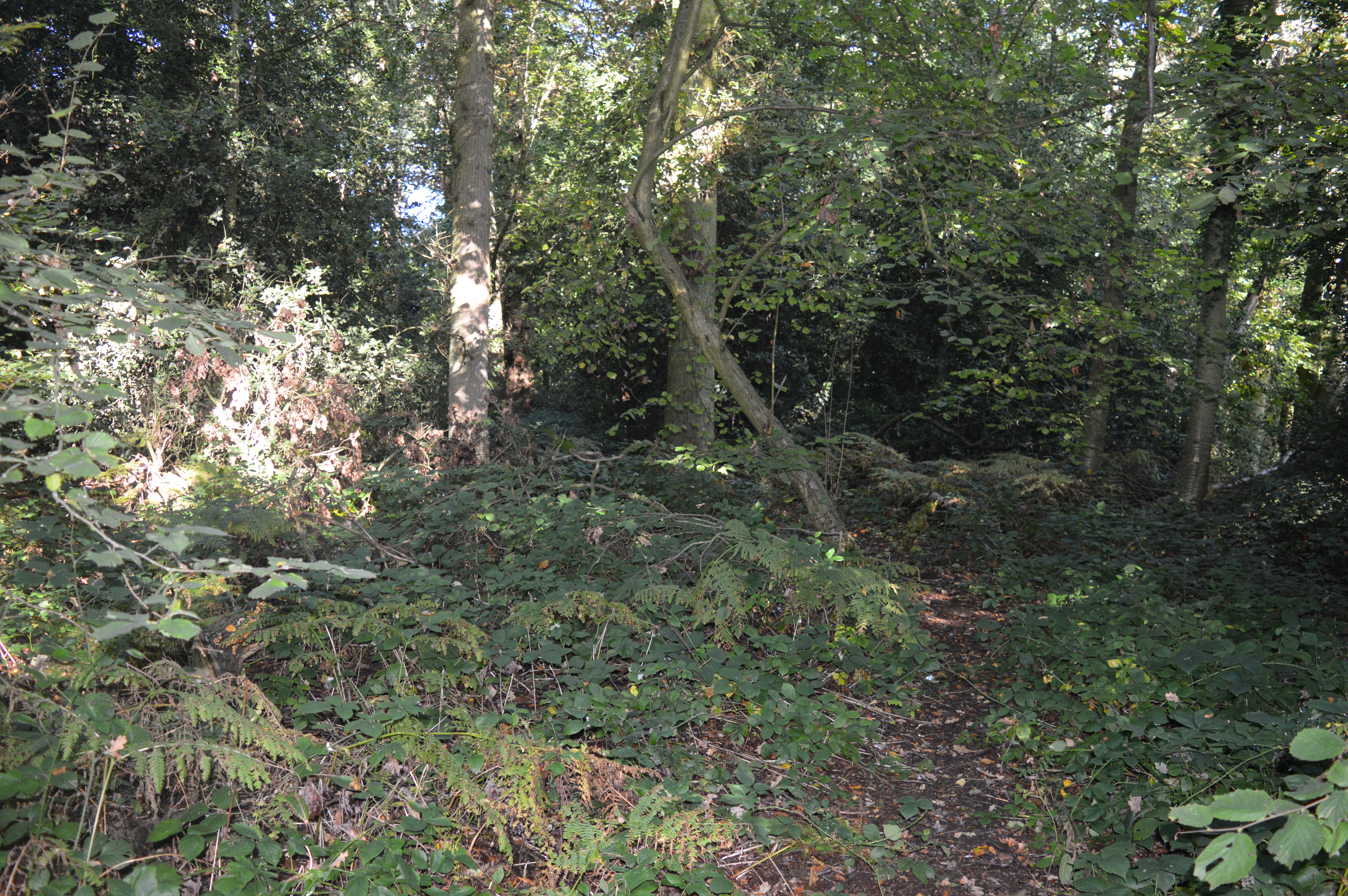
The wood is predominantly made up of mature oak and beech trees, creating a dense canopy that provides shelter and shade for a rich variety of flora and fauna. Bluebells carpet the forest floor in spring, creating a stunning display of vibrant colors, while wild garlic and ferns add to the diversity of the undergrowth.
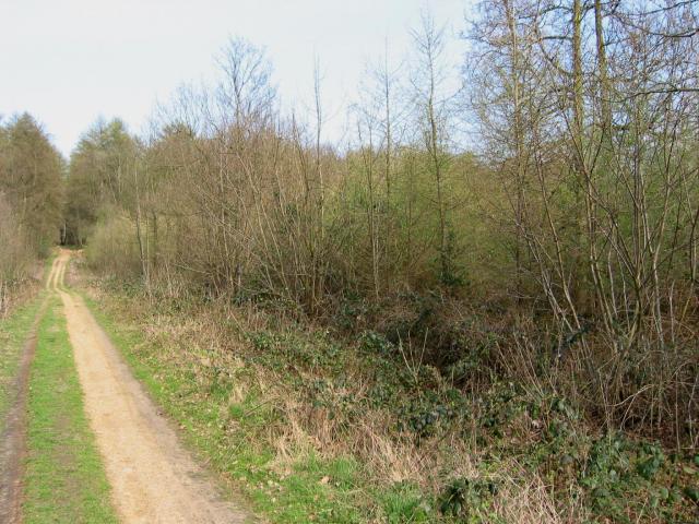
A network of well-maintained paths and trails wind through the wood, allowing visitors to explore its various nooks and crannies. The pathways are suitable for walkers of all abilities, making the wood accessible to everyone, including families with young children and individuals with mobility challenges.
Furzefield Wood is also a popular spot for birdwatching enthusiasts, as it attracts a wide range of species throughout the year. From woodpeckers and nuthatches to tawny owls and buzzards, there is always something interesting to see and hear in the wood.
The wood is managed by the local council, who ensure its conservation and protection. They organize regular events and guided walks, providing opportunities for the community to engage with nature and learn about the woodland's rich biodiversity.
Overall, Furzefield Wood is a precious natural gem in Hertfordshire, offering a tranquil escape for nature lovers and an opportunity to reconnect with the natural world.
If you have any feedback on the listing, please let us know in the comments section below.
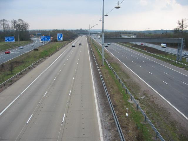
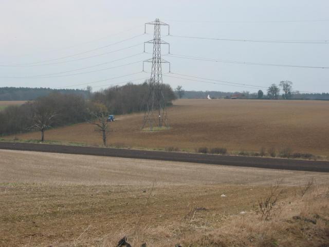
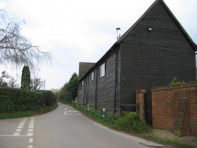
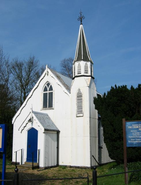
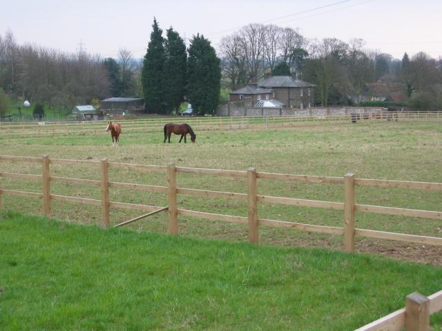
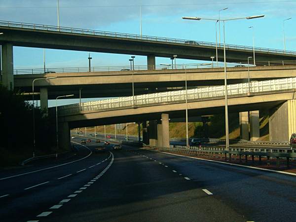
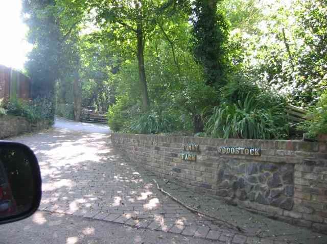
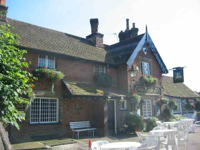
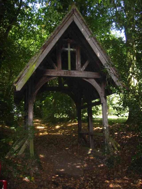
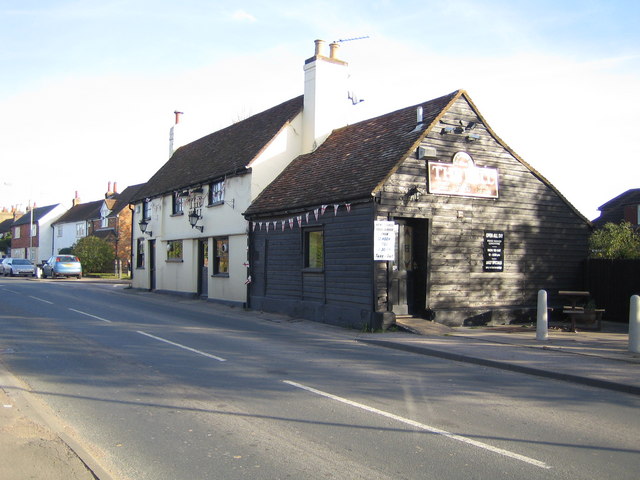
Furzefield Wood Images
Images are sourced within 2km of 51.720294/-0.40184978 or Grid Reference TL1003. Thanks to Geograph Open Source API. All images are credited.
Furzefield Wood is located at Grid Ref: TL1003 (Lat: 51.720294, Lng: -0.40184978)
Administrative County: Hertfordshire
District: St. Albans
Police Authority: Hertfordshire
What 3 Words
///fork.glory.depend. Near Abbots Langley, Hertfordshire
Nearby Locations
Related Wikis
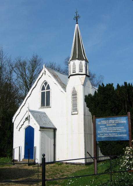
Bedmond
Bedmond is a village in the Three Rivers district of the English ceremonial county of Hertfordshire. It is located around one mile (1.6 km) north of the...
Longspring Wood
Longspring Wood is a 1.2-hectare (3.0-acre) nature reserve managed by the Herts and Middlesex Wildlife Trust in Kings Langley in Hertfordshire.The main...

Bedmond and Primrose Hill
Bedmond and Primrose Hill is a ward in Three Rivers, in England, the United Kingdom. It is located in south-west Hertfordshire, in the East of England...

Leavesden Hospital
Leavesden Mental Hospital was a mental health facility at Leavesden on the outskirts of Abbots Langley in Hertfordshire. == History == The facility was...
A405 road
The A405 is a 4.8 miles (7.7 km) dual carriageway road in Hertfordshire, England, from the A41 at Leavesden Green, near Watford, to the A414 at Park Street...

Potters Crouch
Potters Crouch is a small hamlet in Hertfordshire, England, south-west of St Albans near Chiswell Green. It is in the civil parish of St Michael. ��2...
St Michael's Catholic High School
Saint Michael's Catholic High School is a co-educational secondary school and sixth form located in the town of Watford, Hertfordshire. In September 2010...
Parmiter's School
Parmiter's School is a co-educational state comprehensive school with academy status in Garston, Hertfordshire, close to the outskirts of North West London...
Nearby Amenities
Located within 500m of 51.720294,-0.40184978Have you been to Furzefield Wood?
Leave your review of Furzefield Wood below (or comments, questions and feedback).