Bedmond Wood

Wood, Forest in Hertfordshire St. Albans

England

Bedmond Wood

M1/M25 Junction It's noisy, hostile and bleak but the motorway junction occupies about half the entire grid square so is the dominating feature. Photo taken looking South down the M1 from the bridge at TL115038.
M1/M25 Junction Credit: Rob Hinkley

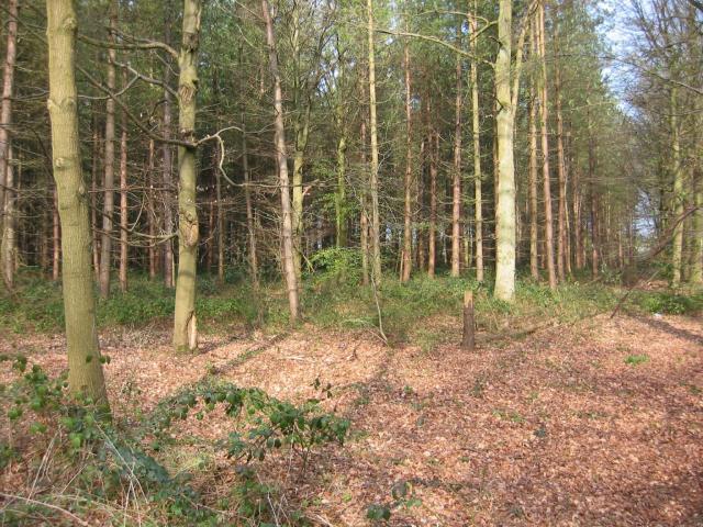
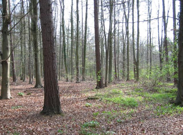
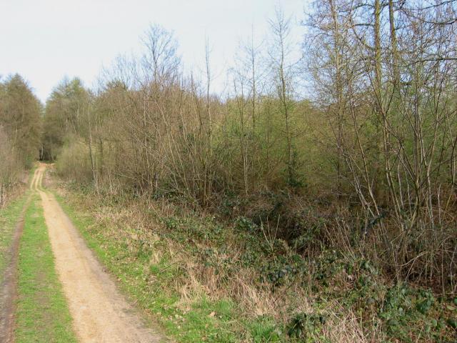
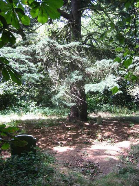
Bedmond Wood is a picturesque forest located in Hertfordshire, England. Covering an area of approximately 100 acres, it is a popular destination for nature enthusiasts and outdoor lovers. The wood is situated near the village of Bedmond, providing a tranquil and serene environment for visitors to enjoy.

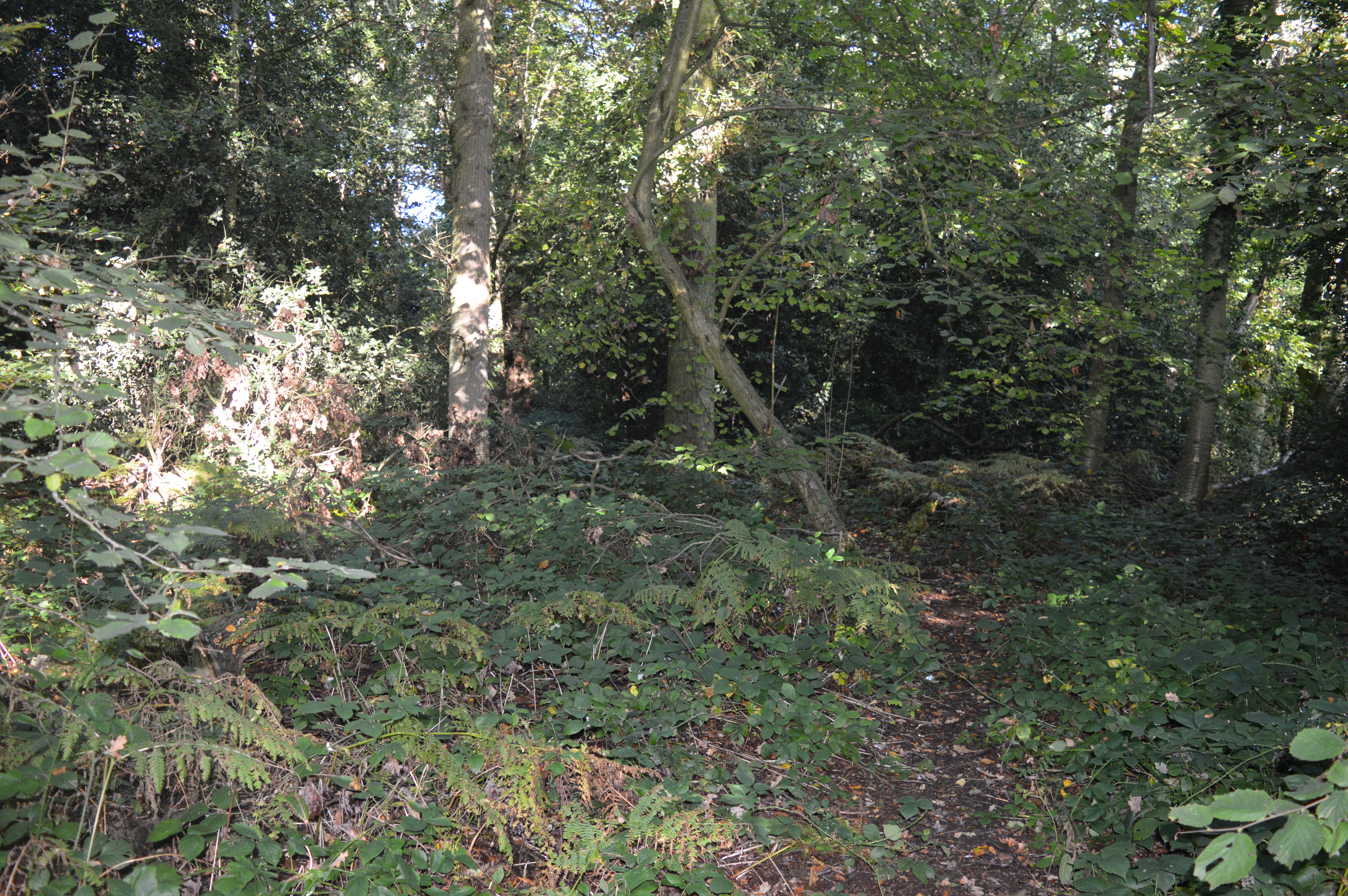
The wood is predominantly composed of deciduous trees, including oak, beech, and birch, which create a vibrant and colorful canopy during the autumn months. The forest floor is covered in a rich carpet of ferns, bluebells, and wild garlic, adding to the natural beauty of the woodland.

There are several well-maintained trails that wind their way through the wood, allowing visitors to explore the area at their own pace. These paths provide opportunities for hiking, jogging, and cycling, as well as wildlife spotting. Bedmond Wood is home to a diverse range of animals and birds, including deer, rabbits, foxes, and various species of woodland birds.

The wood is managed by the local council, ensuring its preservation and protection for future generations. As a designated Site of Special Scientific Interest, Bedmond Wood plays a vital role in supporting the local ecosystem and biodiversity.

In addition to its natural beauty, Bedmond Wood offers recreational facilities such as picnic areas and children's play areas, making it an ideal destination for families. Whether one seeks a peaceful walk in nature, a picnic with loved ones, or an opportunity to spot wildlife, Bedmond Wood provides a delightful escape from the hustle and bustle of everyday life.

If you have any feedback on the listing, please let us know in the comments section below.
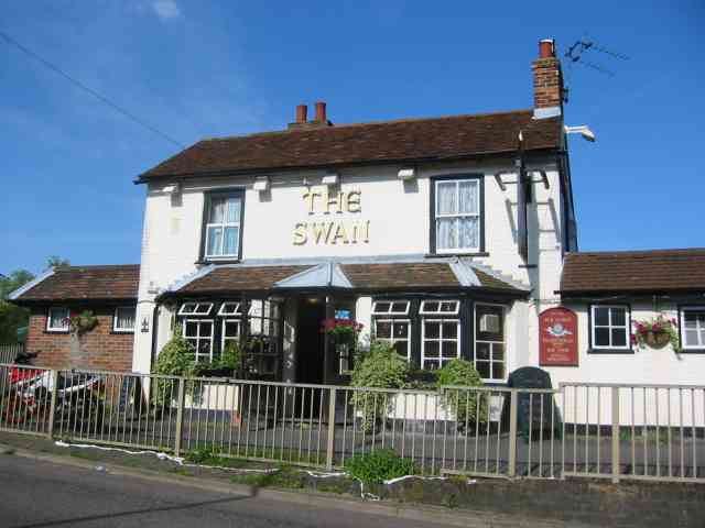
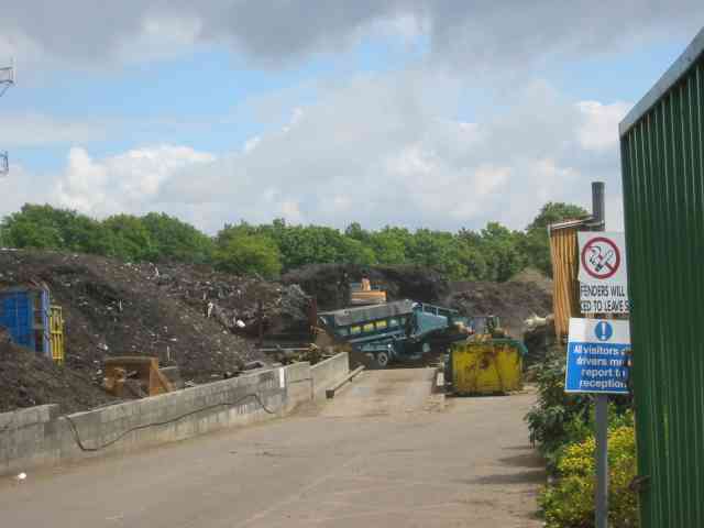
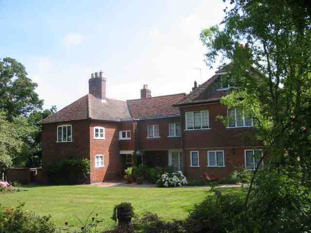
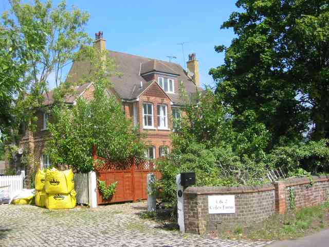
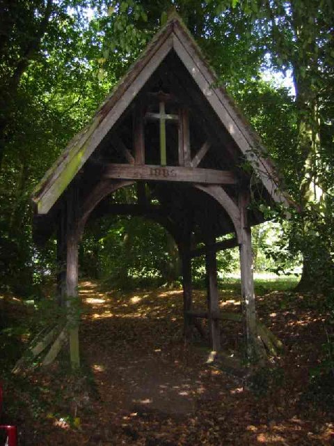
Bedmond Wood Images

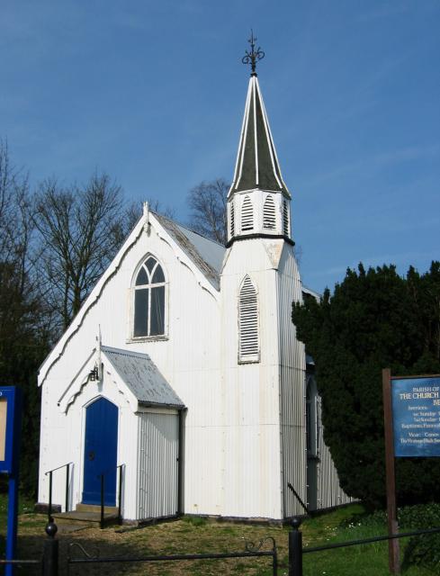
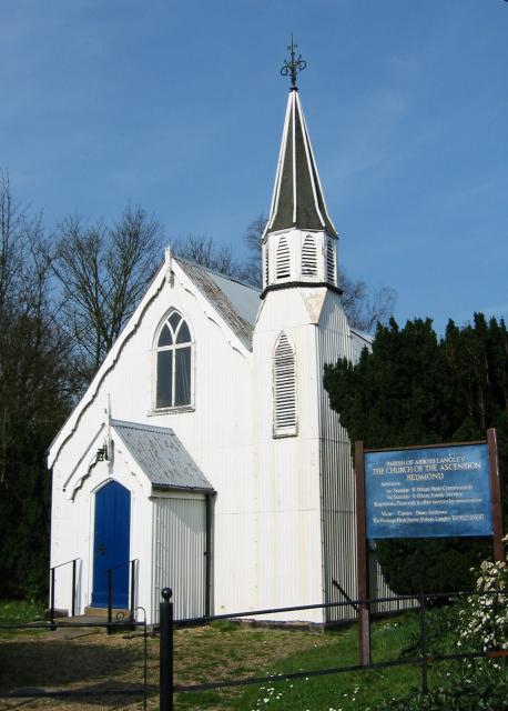
Images are sourced within 2km of 51.723887/-0.40615354 or Grid Reference TL1003. Thanks to Geograph Open Source API. All images are credited.

M1/M25 Junction It's noisy, hostile and bleak but the motorway junction occupies about half the entire grid square so is the dominating feature. Photo taken looking South down the M1 from the bridge at TL115038.
M1/M25 Junction
It's noisy, hostile and bleak but the motorway junction occupies about half the entire grid square so is the dominating feature. Photo taken looking South down the M1 from the bridge at TL115038.
Pylon and copse Looking North from TL117043, we see the power lines jump over a little copse. That's pretty much the most significant landmark in the grid square.
Pylon and copse
Looking North from TL117043, we see the power lines jump over a little copse. That's pretty much the most significant landmark in the grid square.
The 'Holly Bush' at Potters Crouch The 'Holly Bush' pub at Potters Crouch: a village of about 4 houses.
And yes, Potters Crouch is its real name - I'm not making it up.
The 'Holly Bush' at Potters Crouch
The 'Holly Bush' pub at Potters Crouch: a village of about 4 houses. And yes, Potters Crouch is its real name - I'm not making it up.
Barn-like house, Potters Crouch Looking East into Potters Crouch on the road from Bedmond (at TL114052).
Barn-like house, Potters Crouch
Looking East into Potters Crouch on the road from Bedmond (at TL114052).
Corrugated tin church, Bedmond The Church Of The Ascension at Bedmond, in the NE corner of the grid square, is very small and seems to be built almost entirely from sheets of corrugated metal.
Corrugated tin church, Bedmond
The Church Of The Ascension at Bedmond, in the NE corner of the grid square, is very small and seems to be built almost entirely from sheets of corrugated metal.
Tin church, Bedmond Another photo of the little sheet-metal church in Bedmond.
Tin church, Bedmond
Another photo of the little sheet-metal church in Bedmond.
Potterscrouch Plantations Looking East from the forestry track in Potterscrouch Plantations at TL104047.
Potterscrouch Plantations
Looking East from the forestry track in Potterscrouch Plantations at TL104047.
Plantation Looking SW from the track through the woods at TL104047.
Plantation
Looking SW from the track through the woods at TL104047.
New growth in plantation Looking E along the track in the woods at about TL105053. Not the classiest woods, mind you - they seem to be a popular venue for fly-tipping and burning cars, to judge by patches of wreckage.
New growth in plantation
Looking E along the track in the woods at about TL105053. Not the classiest woods, mind you - they seem to be a popular venue for fly-tipping and burning cars, to judge by patches of wreckage.
M25 junction 21 This four-level stack junction dominates TL1103.
M25 junction 21
This four-level stack junction dominates TL1103.
The "Funny Farm"  Bedmond I presume that this farm is available for children
that hands on stuff
The "Funny Farm" Bedmond
I presume that this farm is available for children that hands on stuff
White Hart Inn Bedmond Just a confirmation that it exists.
White Hart Inn Bedmond
Just a confirmation that it exists.
The Swan Inn, Pimlico  Herts Evidence that the people of Pimlico get thirsty
The Swan Inn, Pimlico Herts
Evidence that the people of Pimlico get thirsty
The composting facility This establishment with the huge piles of composting material implies that the stuff isn't 
getting into the commercial circuit.
The composting facility
This establishment with the huge piles of composting material implies that the stuff isn't getting into the commercial circuit.
Waterdale House of Chequers Lane
Coles Farm Woodside Road    Waterdale This farm house appears to have been gentrified
Coles Farm Woodside Road Waterdale
This farm house appears to have been gentrified
Tombstones  amongst the trees in the Cemetery East Lane This cemetery was provided for the Asylum hospital nearby but has now been abandoned to nature.
Tombstones amongst the trees in the Cemetery East Lane
This cemetery was provided for the Asylum hospital nearby but has now been abandoned to nature.
Lych Gate entrance to the cemetery East Lane This structure is in good condition despite it being abandoned.
Lych Gate entrance to the cemetery East Lane
This structure is in good condition despite it being abandoned.
Show me another place!

Bedmond Wood is located at Grid Ref: TL1003 (Lat: 51.723887, Lng: -0.40615354)

Administrative County: Hertfordshire

District: St. Albans

Police Authority: Hertfordshire

What 3 Words

///foods.bolt.yappy. Near Abbots Langley, Hertfordshire

Related Wikis

Bedmond

Bedmond is a village in the Three Rivers district of the English ceremonial county of Hertfordshire. It is located around one mile (1.6 km) north of the...

Longspring Wood

Longspring Wood is a 1.2-hectare (3.0-acre) nature reserve managed by the Herts and Middlesex Wildlife Trust in Kings Langley in Hertfordshire.The main...

Bedmond and Primrose Hill

Bedmond and Primrose Hill is a ward in Three Rivers, in England, the United Kingdom. It is located in south-west Hertfordshire, in the East of England...

International Crown

The Hanwha LifePlus International Crown is a biennial women's professional team golf tournament on the LPGA Tour. Eight national teams of four players...

Centurion Club

The Centurion Club is a golf club in Hemel Hempstead in Hertfordshire. The club opened in 2013. It has hosted the GolfSixes series in 2017 and 2018 and...

Potters Crouch

Potters Crouch is a small hamlet in Hertfordshire, England, south-west of St Albans near Chiswell Green. It is in the civil parish of St Michael. ��2...

Leavesden Hospital

Leavesden Mental Hospital was a mental health facility at Leavesden on the outskirts of Abbots Langley in Hertfordshire. == History == The facility was...

Royal National Rose Society Gardens

The Royal National Rose Society Gardens, also known as The Gardens of The Rose, were the gardens and headquarters of The Royal National Rose Society at...

Nearby Amenities

Located within 500m of 51.723887,-0.40615354
Mini Roundabout
Direction: clockwise
Lat/Long: 51.7208735/-0.4104468
Pub
White Hart Inn
Toilets: yes
Toilets Access: customers
Wikidata: Q26631607
Lat/Long: 51.7229298/-0.4103246
Bedmond
Place: village
Wikidata: Q19174
Wikipedia: en:Bedmond
Lat/Long: 51.7225371/-0.409487
Bus Stop
Church Hill
Bus: yes
Naptan AtcoCode: 210021800680
Naptan Bearing: S
Naptan CommonName: Church Hill
Naptan Crossing: Church Hill
Naptan Indicator: S-bound
Naptan Landmark: Church Hill
Naptan NaptanCode: hrtajpwp
Naptan ShortCommonName: NA
Naptan Street: Bedmond Road
Naptan Verified: no
Public Transport: platform
Source: naptan_import
Lat/Long: 51.725514/-0.4118183
Bus Stop
High Street
Bus: yes
Naptan AtcoCode: 210021800700
Naptan Bearing: S
Naptan CommonName: High Street
Naptan Crossing: The Bell PH
Naptan Indicator: S-bound
Naptan Landmark: The Bell PH
Naptan NaptanCode: hrtajpwt
Naptan ShortCommonName: NA
Naptan Street: High Street
Naptan Verified: no
Public Transport: platform
Shelter: yes
Source: naptan_import
Lat/Long: 51.721223/-0.4103616
Bus Stop
Bluebell Drive
Bus: yes
Naptan AtcoCode: 210021800715
Naptan Bearing: E
Naptan BusStopType: CUS
Naptan CommonName: Bluebell Drive
Naptan Crossing: opp Henderson Place
Naptan Indicator: adj
Naptan Landmark: opp Henderson Place
Naptan NaptanCode: hrtajtag
Naptan ShortCommonName: NA
Naptan Street: Toms Lane
Naptan Verified: no
Public Transport: platform
Shelter: no
Source: naptan_import
Lat/Long: 51.7208401/-0.4113016
Bus Stop
High Street
Bus: yes
Naptan AtcoCode: 210021806040
Naptan Bearing: N
Naptan CommonName: High Street
Naptan Crossing: Bell PH
Naptan Indicator: N-bound
Naptan Landmark: Bell PH
Naptan NaptanCode: hrtagmtw
Naptan ShortCommonName: NA
Naptan Street: High Street
Naptan Verified: no
Public Transport: platform
Shelter: yes
Source: naptan_import
Lat/Long: 51.7217309/-0.4106768
Bus Stop
Church Hill
Bus: yes
Naptan AtcoCode: 210021806060
Naptan Bearing: N
Naptan CommonName: Church Hill
Naptan Indicator: N-bound
Naptan Landmark: Unknown
Naptan NaptanCode: hrtagmwa
Naptan ShortCommonName: NA
Naptan Street: Bedmond Road
Naptan Verified: no
Public Transport: platform
Source: naptan_import
Lat/Long: 51.7251637/-0.4118451
Post Office
Bedmond Post Office
Addr City: Abbots Langley
Addr Postcode: WD5 0QP
Brand: Post Office
Brand Wikidata: Q1783168
Contact Website: https://www.postoffice.co.uk/branch-finder/1644580/bedmond
Ref Pol Id: 116964
Lat/Long: 51.721595/-0.4108864
Traffic Calming: island
Lat/Long: 51.720731/-0.4104328
Traffic Calming: island
Lat/Long: 51.7209786/-0.4104429
Crossing
Crossing: marked
Lat/Long: 51.7210403/-0.4104309
Barrier: kissing_gate
Lat/Long: 51.7229065/-0.411301
Post Box
Brand: Royal Mail
Brand Wikidata: Q638098
Brand Wikipedia: en:Royal Mail
Collection Times: Mo-Fr 16:00; Sa 10:30
Operator: Royal Mail
Operator Wikidata: Q638098
Post Box Type: pillar
Ref: WD5 152
Royal Cypher: EIIR
Royal Cypher Wikidata: Q33102113
Lat/Long: 51.7218161/-0.41072
Power: pole
Lat/Long: 51.7274512/-0.4027189
Traffic Calming: island
Lat/Long: 51.7210671/-0.4104265
The data included in this document is from www.openstreetmap.org. The data is made available under ODbL.

Have you been to Bedmond Wood?

Leave your review of Bedmond Wood below (or comments, questions and feedback).